Category Archives: Maps
Forest of Bowland & Ribblesdale – Pendle Hill, Clitheroe & Settle OS Explorer Active Map OL41 (waterproof)
The Forest of Bowland and Ribblesdale on a detailed topographic and GPS compatible map OL41, waterproof version, from the Ordnance Survey’s 1:25,000 Explorer series. Coverage extends from Lancaster in the west to Settle and Barnoldswick, and includes Barrowford, Clitheroe, Catterall, Hornby, Stocks Reservoir, sections of the Pennine Bridleway National Trail, the Dales High Way, Pendle
Kielder Water & Forest – Bellingham & Simonside Hills OS Explorer Active Map OL42 (waterproof)

Kielder Water and Kielder Forest on a detailed topographic and GPS compatible map OL42, waterproof version, from the Ordnance Survey’s 1:25,000 Explorer series. Coverage includes Simonside Hills, Kershope Forest, Liddesdale, Sweethope Loughs, the peaks of The Dodd, Muckle Knowe, Mid Fell, the lakeside circuit around the Kielder Water, a section of the Pennine Way National
Torquay & Dawlish – Newton Abbot OS Explorer Active Map OL44 (waterproof)
Torquay and Dawlish area of south Devon on a detailed topographic and GPS compatible map OL44, waterproof version, from the Ordnance Survey’s 1:25,000 Explorer series. Coverage extends from the Exe Estuary in the north-east to Totnes in the south-west and includes Paignton, Newton Abbot, Teignmouth, Exminster, Bovey Tracy, Trenchford Reservoir, a section of the South
The Cotswolds – Burford, Chipping Campden, Cirencester & Stow-on-the-Wold OS Explorer Active Map OL45 (waterproof)
The Cotswolds on a detailed topographic and GPS compatible map OL45, waterproof version, from the Ordnance Survey’s 1:25,000 Explorer series. Centred on Bourton-on-the-Water, the map extends north beyond Chipping Campden and south to Cirencester. Coverage includes Stow-on-the-Wold, Moreton-in-Marsh, Turkdean, Northleach, Burford, Carterton, etc. The are is criss-crossed by numerous trails: the Cotswold Way National Trail,
The Trossachs – Callander, Aberfoyle & Lochearnhead, Balquhidder & Strathyre OS Explorer Active Map OL46 (waterproof)
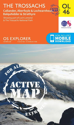
The Trossachs area of the Scottish Highlands on a detailed topographic and GPS compatible map OL46, waterproof version, from the Ordnance Survey’s 1:25,000 Explorer series. Coverage includes a section of the Loch Lomond and The Trossachs National Park with parts of the Queen Elizabeth Forest Park, five Munro peaks including Stob Binnein and Ben Vorlich,
Crieff, Comrie & Glen Artney – Strathearn & Auchterarder OS Explorer Active Map OL47 (waterproof)
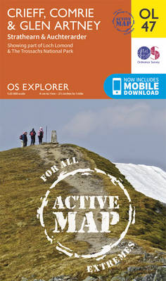
Crieff, Comrie and Glen Artney area of the Scottish Highlands on a detailed topographic and GPS compatible map No. OL47, waterproof version, from the Ordnance Survey’s 1:25,000 Explorer series. Coverage includes a section of the Loch Lomond and The Trossachs National Park along the Keltie Water, the River Earn (Cormie to St Fillans) National Scenic
Ben Lawers & Glen Lyon – Loch Tay, Killin & Kenmore OS Explorer Active Map OL48 (waterproof)
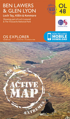
Ben Lawyers and Glen Lyon area of the Scottish Highlands on a detailed topographic and GPS compatible map OL48, waterproof version, from the Ordnance Survey’s 1:25,000 Explorer series. Coverage includes part of the Loch Rannoch and Glen Lyon National Scenic Area, 22 Munro peaks including An Stuc, Carn Gorm, Meall Glas and Sgiath Chuil, Loch
Pitlochry & Loch Tummel – Aberfeldy, Kinloch Rannoch & Schiehallion OS Explorer Active Map OL49 (waterproof)
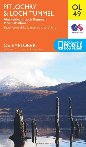
Pitlochry and Loch Tummel area of the Scottish Highlands on a detailed topographic and GPS compatible map OL49, waterproof version, from the Ordnance Survey’s 1:25,000 Explorer series. Coverage includes sections of the Loch Rannoch and Glen Lyon National Scenic Area and of the Tay Forest Park, the Loch Tummel NSA, Aberfeldy, Kinloch Rannoch, 5 Munro
Ben Alder, Loch Ericht & Loch Laggan – Dalwhinnie OS Explorer Active Map OL50 (waterproof)
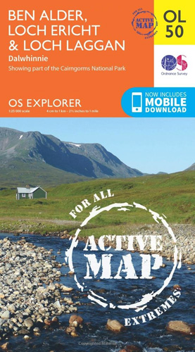
Ben Alder, Loch Ericht and Loch Laggan area of the Scottish Highlands on a detailed topographic and GPS compatible map 50, waterproof version, from the Ordnance Survey’s 1:25,000 Explorer series. Coverage includes a small section of the Cairngorms National Park near Dalwhinnie, 16 Munro peaks including Geal Charn, Carn Dearg, and Beinn na Lap, Glen
Liddesdale & Kershope Forest – Newcastleton & Canonbie OS Explorer 324
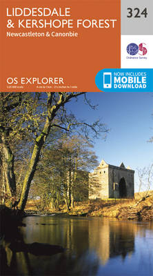
Liddesdale, Kershope Forest, Newcastleton and Canonbie area on a detailed topographic and GPS compatible map No. 324, paper version, from the Ordnance Survey’s 1:25,000 Explorer series.MOBILE DOWNLOADS: this title and all the other OS Explorer maps include a code for downloading after purchase the digital version onto your smartphone or tablet for viewing on the
Winchester, New Alresford & East Meon OS Explorer Active Map OL32 (waterproof)
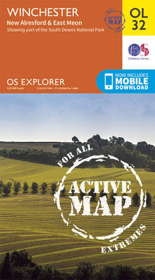
Winchester, New Alresford and East Meon area of Hampshire on a detailed topographic and GPS compatible map OL32, waterproof version, from the Ordnance Survey’s 1:25,000 Explorer series. Coverage includes part of the South Downs National Park with the westernmost section of the South Downs Way National Trail. Other trails include the Monarch’s Way, the Wayfarer’s
Yorkshire Dales Southern & Western – Whernside, Ingleborough & Pen-y-ghent OS Explorer OL2
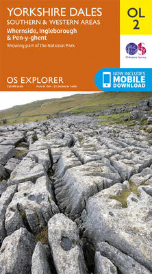
Southern and western area of the Yorkshire Dales on a detailed topographic and GPS compatible map OL2, paper version, from the Ordnance Survey`s 1:25,000 Explorer series. Coverage includes Wharfedale with Grassington and Hebden, the upper part of the Ribblesdale with Settle and Horton, Yorkshire’s Three Peaks area of Whernside, Ingleborough and Pen-y-ghent, The Devils Bridge
Haslemere & Petersfield – Midhurst & Selborne OS Explorer Active Map OL33 (waterproof)

Haslemere and Petersfield area of Hampshire, Sussex and Surrey on a detailed topographic and GPS compatible map OL33, waterproof version, from the Ordnance Survey’s 1:25,000 Explorer series. Coverage extends from Alton and Witley southwards to Midhurst, and includes parts of the South Downs National Park and the Surrey Downs Area of Outstanding Natural Beauty, the
Meon Valley, Portsmouth, Gosport & Fareham OS Explorer Active Map OL3 (waterproof)
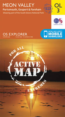
Meon Valley, Portsmouth, Gosport and Fareham area of south Hampshire on a detailed topographic and GPS compatible map OL3, waterproof version, from the Ordnance Survey’s 1:25,000 Explorer series. Coverage extends from the coast to Owslebury and East Meon, and includes part of the South Downs National Park, a section of the South Downs Way National
Crawley & Horsham – Cranleigh & Billingshurst OS Explorer Active Map OL34 (waterproof)
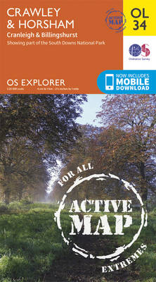
Crawley and Horsham area of Sussex and Surrey on a detailed topographic and GPS compatible map OL34, waterproof version, from the Ordnance Survey’s 1:25,000 Explorer series. Coverage extends from Cranleigh and Crawley in the north to Hickstead and Bedham, and includes Billinghurst, Nymans, part of the High Weald Area of Outstanding Natural Beauty, the Low
Chichester, South Harting and Selsey OS Explorer Active Map OL8 (waterproof)
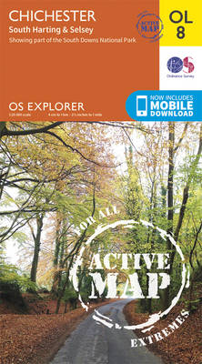
Chichester, South Harting and Selsey area of Sussex and Hampshire on a detailed topographic and GPS compatible map OL8, waterproof version, from the Ordnance Survey’s 1:25,000 Explorer series. Coverage along the coast extends from Pagham westwards across Selsey Bill and Hayling Island to Langstone Harbour, and includes part of the South Downs National Park, Emsworth,
Exmoor – Barnstaple, Lynton, Minehead & Dulverton OS Explorer Active Map OL9 (waterproof)
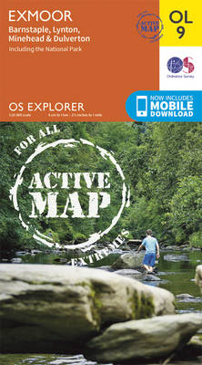
The Exmoor National Park on a detailed topographic and GPS compatible map OL9, waterproof version, from the Ordnance Survey’s 1:25,000 Explorer series. Coverage extends westwards to Ilfracombe and Barnstaple and includes Minehead ‘“ the start of the South West Coast Path National Rrail, Lynton, Dulverton, sections of the Two Moors Way, Tarka Way, etc.MOBILE DOWNLOADS:
Arundel & Pulborough – Worthing & Bognor Regis OS Explorer Active Map OL10 (waterproof)

Arundel and Pulborough area of Sussex on a detailed topographic and GPS compatible map OL10, waterproof version, from the Ordnance Survey’s 1:25,000 Explorer series. Coverage along the coast extends from east of Worthing across Littlehampton to west of Bognor Regis and inland to Pulborough, and includes part of the South Downs National Park with a
Brecon Beacons Western & Central OS Explorer Active Map OL12 (waterproof)

The Western and central areas of the Brecon Beacons National Park on a detailed topographic and GPS compatible map OL12, waterproof version, from the Ordnance Survey’s 1:25,000 Explorer series. Coverage extends from Merthyr Tydfil in the south-east to Llandovery in the north-west and highlights include the Black Mountain, Fforest Fawr, the Beacons Reservoir, Brecon, Trecastle,
Brecon Beacons Eastern OS Explorer Active Map OL13 (waterproof)
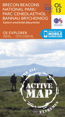
The eastern part of the Brecon Beacons National Park on a detailed topographic and GPS compatible map OL13, waterproof version, from the Ordnance Survey’s 1:25,000 Explorer series. Coverage includes Tredegar, Ebbw Vale, Abergavenny, Hay-on-Wye, the Black Mountains, Llangorse Lake, Sugar Loaf, Black Hill, Hay Bluff, sections of the Offa’s Dyke National Trail, the Usk Valley