Category Archives: Maps
Bude, Boscastle & Tintagel OS Explorer Active Map 111 (waterproof)
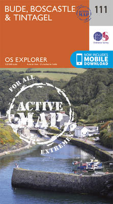
Bude, Boscastle and Tintagel area on a detailed topographic and GPS compatible map No. 111, waterproof version, from the Ordnance Survey’s 1:25,000 Explorer series.MOBILE DOWNLOADS: this title and all the other OS Explorer maps include a code for downloading after purchase the digital version onto your smartphone or tablet for viewing on the OS smartphone
Launceston & Holsworthy – Roadford Lake OS Explorer Active Map 112 (waterproof)
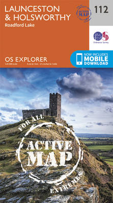
Launceston, Holsworthy and Roadford Lake area on a detailed topographic and GPS compatible map No. 112, waterproof version, from the Ordnance Survey’s 1:25,000 Explorer series.MOBILE DOWNLOADS: this title and all the other OS Explorer maps include a code for downloading after purchase the digital version onto your smartphone or tablet for viewing on the OS
Okehampton – Hatherleigh, North Tawton & Lapford OS Explorer Active Map 113 (waterproof)
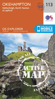
Okehampton, Hatherleigh, North Tawton and Lapford area on a detailed topographic and GPS compatible map No. 113, waterproof version, from the Ordnance Survey’s 1:25,000 Explorer series.MOBILE DOWNLOADS: this title and all the other OS Explorer maps include a code for downloading after purchase the digital version onto your smartphone or tablet for viewing on the
Braemar, Tomintoul & Glen Avon OS Explorer Active Map OL58 (waterproof)
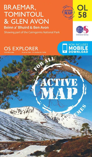
Braemar, Tomintoul and Glen Avon area of the Cairmgorms National Park on a detailed topographic and GPS compatible map OL58, waterproof version, from the Ordnance Survey’s 1:25,000 Explorer series. Coverage includes part of the Deeside and Lochnagar National Scenic Area, Be Avon, 5 Munro peaks including, Beinn a’ Bhuird and Leabaidh an Daimh Bhuidhe, the
Exeter & the Exe Valley – Crediton, Tiverton & Dulverton OS Explorer Active Map 114 (waterproof)

Exeter and the Exe Valley, Crediton, Tiverton and Dulverton area on a detailed topographic and GPS compatible map No. 114, waterproof version, from the Ordnance Survey’s 1:25,000 Explorer series. MOBILE DOWNLOADS: this title and all the other OS Explorer maps include a code for downloading after purchase the digital version onto your smartphone or tablet
Aboyne, Alford & Strathdon OS Explorer Active Map OL59 (waterproof)
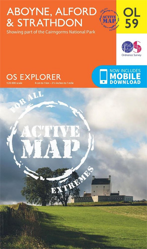
Aboyne, Alford and Strathdon area of the Scottish Highlands on a detailed topographic and GPS compatible map OL59, waterproof version, from the Ordnance Survey’s 1:25,000 Explorer series. Coverage includes part of the Cairngorms National Park, Ballater, Lochs Davan and Kinord, etc.MOBILE DOWNLOADS: this title and all the other OS Explorer maps include a code for
Exmouth & Sidmouth – Honiton OS Explorer Active Map 115 (waterproof)
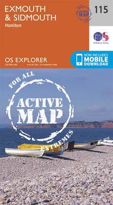
Exmouth, Sidmouth and Honiton area on a detailed topographic and GPS compatible map No. 115, waterproof version, from the Ordnance Survey’s 1:25,000 Explorer series.MOBILE DOWNLOADS: this title and all the other OS Explorer maps include a code for downloading after purchase the digital version onto your smartphone or tablet for viewing on the OS smartphone
Lochindorb, Grantown-on-Spey & Carrbridge OS Explorer Active Map OL60 (waterproof)
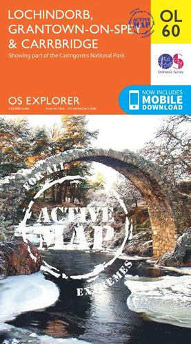
Lochindorb, Grantown-on-Spey and Carrbridge area of the Scottish Highlands on a detailed topographic and GPS compatible map OL60, waterproof version, from the Ordnance Survey’s 1:25,000 Explorer series. Coverage includes part of the Cairngorms National Park, Strathdearn, sections of the Speyside Way and the Dava Way, etc.MOBILE DOWNLOADS: this title and all the other OS Explorer
Lyme Regis & Bridport – Chard OS Explorer Active Map 116 (waterproof)
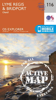
Lyme Regis, Bridport and Chard area on a detailed topographic and GPS compatible map No. 116, waterproof version, from the Ordnance Survey’s 1:25,000 Explorer series.MOBILE DOWNLOADS: this title and all the other OS Explorer maps include a code for downloading after purchase the digital version onto your smartphone or tablet for viewing on the OS
The Cotswolds – Burford, Chipping Campden, Cirencester & Stow-on-the-Wold OS Explorer Active Map OL45 (waterproof)
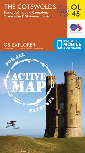
The Cotswolds on a detailed topographic and GPS compatible map OL45, waterproof version, from the Ordnance Survey’s 1:25,000 Explorer series. Centred on Bourton-on-the-Water, the map extends north beyond Chipping Campden and south to Cirencester. Coverage includes Stow-on-the-Wold, Moreton-in-Marsh, Turkdean, Northleach, Burford, Carterton, etc. The are is criss-crossed by numerous trails: the Cotswold Way National Trail,
The Trossachs – Callander, Aberfoyle & Lochearnhead, Balquhidder & Strathyre OS Explorer Active Map OL46 (waterproof)
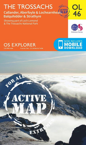
The Trossachs area of the Scottish Highlands on a detailed topographic and GPS compatible map OL46, waterproof version, from the Ordnance Survey’s 1:25,000 Explorer series. Coverage includes a section of the Loch Lomond and The Trossachs National Park with parts of the Queen Elizabeth Forest Park, five Munro peaks including Stob Binnein and Ben Vorlich,
Crieff, Comrie & Glen Artney – Strathearn & Auchterarder OS Explorer Active Map OL47 (waterproof)
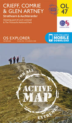
Crieff, Comrie and Glen Artney area of the Scottish Highlands on a detailed topographic and GPS compatible map No. OL47, waterproof version, from the Ordnance Survey’s 1:25,000 Explorer series. Coverage includes a section of the Loch Lomond and The Trossachs National Park along the Keltie Water, the River Earn (Cormie to St Fillans) National Scenic
Ben Lawers & Glen Lyon – Loch Tay, Killin & Kenmore OS Explorer Active Map OL48 (waterproof)
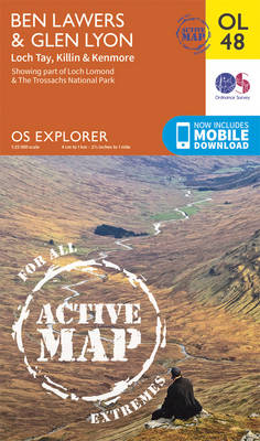
Ben Lawyers and Glen Lyon area of the Scottish Highlands on a detailed topographic and GPS compatible map OL48, waterproof version, from the Ordnance Survey’s 1:25,000 Explorer series. Coverage includes part of the Loch Rannoch and Glen Lyon National Scenic Area, 22 Munro peaks including An Stuc, Carn Gorm, Meall Glas and Sgiath Chuil, Loch
Pitlochry & Loch Tummel – Aberfeldy, Kinloch Rannoch & Schiehallion OS Explorer Active Map OL49 (waterproof)
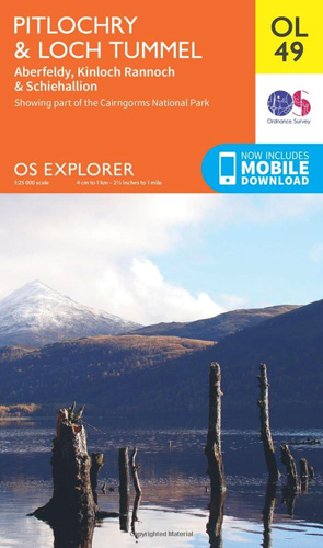
Pitlochry and Loch Tummel area of the Scottish Highlands on a detailed topographic and GPS compatible map OL49, waterproof version, from the Ordnance Survey’s 1:25,000 Explorer series. Coverage includes sections of the Loch Rannoch and Glen Lyon National Scenic Area and of the Tay Forest Park, the Loch Tummel NSA, Aberfeldy, Kinloch Rannoch, 5 Munro
Ben Alder, Loch Ericht & Loch Laggan – Dalwhinnie OS Explorer Active Map OL50 (waterproof)
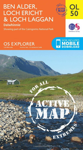
Ben Alder, Loch Ericht and Loch Laggan area of the Scottish Highlands on a detailed topographic and GPS compatible map 50, waterproof version, from the Ordnance Survey’s 1:25,000 Explorer series. Coverage includes a small section of the Cairngorms National Park near Dalwhinnie, 16 Munro peaks including Geal Charn, Carn Dearg, and Beinn na Lap, Glen
Atholl – Glen Tilt, Beinn Dearg & Carn nan Gabhar OS Explorer Active Map OL51 (waterproof)
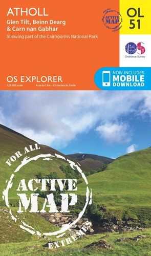
Atholl area the Cairngorms National Park on a detailed topographic and GPS compatible map OL51, waterproof version, from the Ordnance Survey’s 1:25,000 Explorer series. Coverage includes the Grampian Mountains, the Forest of Atholl, Glen Tilt, Glen Garry, 10 Munro peaks including Beinn Dearg, Carn nan Gabhar, A’ Bhuidheanach Bheag, Carn na Caim, etc. MOBILE DOWNLOADS:
Glen Shee & Braemar – The Cairnwell & Glas Maol OS Explorer Active Map OL52 (waterproof)

Glen Shee and Braemar area of the Scottish Highlands on a detailed topographic and GPS compatible map OL52, waterproof version, from the Ordnance Survey’s 1:25,000 Explorer series. Coverage includes part of the Cairngorms National Park, 12 Munro peaks including The Cairnwell, Glas Maol and An Socach, a section of the Cateran Trail, etc.MOBILE DOWNLOADS: this
Lochnagar, Glen Muick & Glen Clova – Ballater & Balmoral OS Explorer Active Map OL53(waterproof)
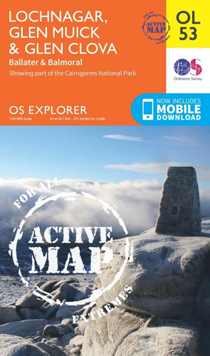
Lochnagar, Glen Muick and Glen Clova area of the Cairngorms National Park on a detailed topographic and GPS compatible map OL53, waterproof version, from the Ordnance Survey’s 1:25,000 Explorer series. Coverage includes part of the Deeside and Lochnagar National Scenic Area, 11 Munro peaks including Broad Cairn, Mayar, and Tom Buidhe, Glen Prosen, Ballater, Balmoral,
South Pembrokeshire OS Explorer Active Map OL36 (waterproof)
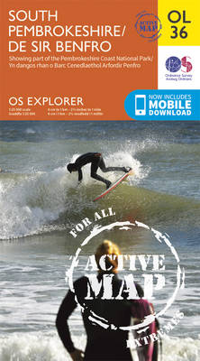
The southern coast of Pembrokeshire on a detailed topographic and GPS compatible map OL36, waterproof version, from the Ordnance Survey’s 1:25,000 Explorer series. Coverage includes Pembrokeshire Coast National Park, Haverforwest, Milford haven, Arberth, Tenby, Pembroke, Skomer Island, Caldey Island, the Pembrokeshire Coast Path National Trail which is also part of the Wales Coast Path, etc.MOBILE
Glen Esk & Glen Tanar – Aboyne & Mount Keen OS Explorer Active Map OL54 (waterproof)
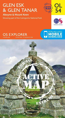
Glen Esk and Glen Tanar area the Scottish Highlands on a detailed topographic and GPS compatible map OL54, waterproof version, from the Ordnance Survey’s 1:25,000 Explorer series. Coverage includes part of the Cairngorms National Park with a Munro peak of Mount Keen, the Forest of Birse, Aboyne, a section of the Deeside Way, etc.MOBILE DOWNLOADS: