Category Archives: Maps
Taunton & Blackdown Hills – Wellington & Ilminster OS Explorer Active Map 128 (waterproof)
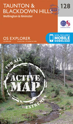
Taunton, Blackdown Hills, Wellington and Ilminster area on a detailed topographic and GPS compatible map No. 128, waterproof version, from the Ordnance Survey’s 1:25,000 Explorer series.MOBILE DOWNLOADS: this title and all the other OS Explorer maps include a code for downloading after purchase the digital version onto your smartphone or tablet for viewing on the
Yeovil & Sherborne – Somerton & Wincanton OS Explorer Active Map 129 (waterproof)
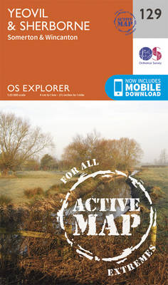
Yeovil, Sherborne, Somerton and Wincanton area on a detailed topographic and GPS compatible map No. 129, waterproof version, from the Ordnance Survey’s 1:25,000 Explorer series.MOBILE DOWNLOADS: this title and all the other OS Explorer maps include a code for downloading after purchase the digital version onto your smartphone or tablet for viewing on the OS
Salisbury & Stonehenge – Wilton & Market Lavington OS Explorer Active Map 130 (waterproof)
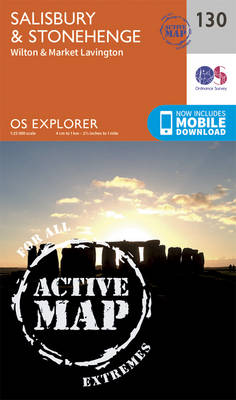
Salisbury, Stonehenge, Wilton and Market Lavington area on a detailed topographic and GPS compatible map No. 130, waterproof version, from the Ordnance Survey’s 1:25,000 Explorer series. MOBILE DOWNLOADS: this title and all the other OS Explorer maps include a code for downloading after purchase the digital version onto your smartphone or tablet for viewing on
Romsey, Andover & Test Valley – Stockbridge & Ludgershall OS Explorer Active Map 131 (waterproof)
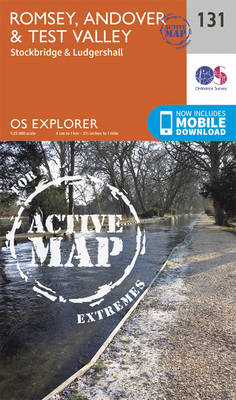
Romsey, Andover, Test Valley, Stockbridge and Ludgershall area on a detailed topographic and GPS compatible map No. 131, waterproof version, from the Ordnance Survey’s 1:25,000 Explorer series. MOBILE DOWNLOADS: this title and all the other OS Explorer maps include a code for downloading after purchase the digital version onto your smartphone or tablet for viewing
Ashdown Forest – Royal Tunbridge Wells, East Grinstead, Haywards Heath & Crowborough OS Explorer Active Map 135 (waterproof)
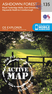
Ashdown Forest, Royal Tunbridge Wells, East Grinstead, Haywards Heath and Crowborough area on a detailed topographic and GPS compatible map No. 135, waterproof version, from the Ordnance Survey’s 1:25,000 Explorer series. MOBILE DOWNLOADS: this title and all the other OS Explorer maps include a code for downloading after purchase the digital version onto your smartphone
High Weald – Royal Tunbridge Wells, Cranbrook, Hawkhurst & Bewl Water OS Explorer Active Map 136 (waterproof)
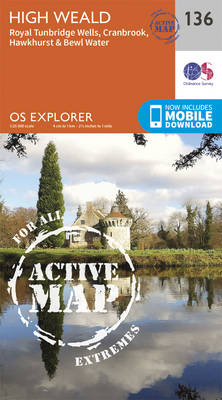
High Weald, Royal Tunbridge Wells, Cranbrook, Hawkhurst and Bewl Water area on a detailed topographic and GPS compatible map No. 136, waterproof version, from the Ordnance Survey’s 1:25,000 Explorer series. MOBILE DOWNLOADS: this title and all the other OS Explorer maps include a code for downloading after purchase the digital version onto your smartphone or
Ashford – Headcorn, Chilham & Wye OS Explorer Active Map 137 (waterproof)
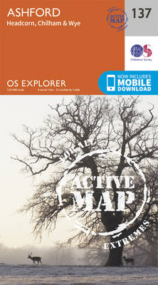
Ashford, Headcorn, Chilham and Wye area on a detailed topographic and GPS compatible map No. 137, waterproof version, from the Ordnance Survey’s 1:25,000 Explorer series.MOBILE DOWNLOADS: this title and all the other OS Explorer maps include a code for downloading after purchase the digital version onto your smartphone or tablet for viewing on the OS
Dover, Folkestone & Hythe OS Explorer Active Map 138 (waterproof)
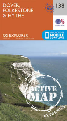
Dover, Folkestone and Hythe area on a detailed topographic and GPS compatible map No. 138, waterproof version, from the Ordnance Survey’s 1:25,000 Explorer series. MOBILE DOWNLOADS: this title and all the other OS Explorer maps include a code for downloading after purchase the digital version onto your smartphone or tablet for viewing on the OS
Bideford, Ilfracombe & Barnstaple – Woolacombe & Lundy OS Explorer Active Map 139 (waterproof)
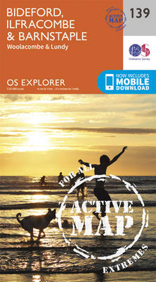
Bideford, Ilfracombe, Barnstaple, Woolacombe and Lundy area on a detailed topographic and GPS compatible map No. 139, waterproof version, from the Ordnance Survey’s 1:25,000 Explorer series. MOBILE DOWNLOADS: this title and all the other OS Explorer maps include a code for downloading after purchase the digital version onto your smartphone or tablet for viewing on
Lochindorb, Grantown-on-Spey & Carrbridge OS Explorer Active Map OL60 (waterproof)
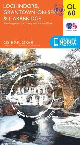
Lochindorb, Grantown-on-Spey and Carrbridge area of the Scottish Highlands on a detailed topographic and GPS compatible map OL60, waterproof version, from the Ordnance Survey’s 1:25,000 Explorer series. Coverage includes part of the Cairngorms National Park, Strathdearn, sections of the Speyside Way and the Dava Way, etc.MOBILE DOWNLOADS: this title and all the other OS Explorer
Lyme Regis & Bridport – Chard OS Explorer Active Map 116 (waterproof)
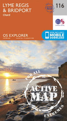
Lyme Regis, Bridport and Chard area on a detailed topographic and GPS compatible map No. 116, waterproof version, from the Ordnance Survey’s 1:25,000 Explorer series.MOBILE DOWNLOADS: this title and all the other OS Explorer maps include a code for downloading after purchase the digital version onto your smartphone or tablet for viewing on the OS
Grantown-on-Spey & Hills of Cromdale – Upper Knockando & Tomnavoulin OS Explorer Active Map OL61 (waterproof)

Grantown-on-Spey and the Hills of Cromdale area of the Scottish Highlands on a detailed topographic and GPS compatible map OL61, waterproof version, from the Ordnance Survey’s 1:25,000 Explorer series. Coverage includes part of the Cairngorms National Park, Bridge of Avon, Upper Knockando, Tomnavoulin, sections of the Speyside Way and the Dava Way, etc. MOBILE DOWNLOADS:
Cerne Abbas & Bere Regis – Blandford Forum & Beaminster OS Explorer Active Map 117 (waterproof)
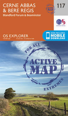
Cerne Abbas, Bere Regis, Blandford Forum and Beaminster area on a detailed topographic and GPS compatible map No. 117, waterproof version, from the Ordnance Survey’s 1:25,000 Explorer series. MOBILE DOWNLOADS: this title and all the other OS Explorer maps include a code for downloading after purchase the digital version onto your smartphone or tablet for
Coreen Hills & Glenlivet – Bennachie, Ladder Hills, Insch & RhynieOS Explorer Active Map OL62 (waterproof)
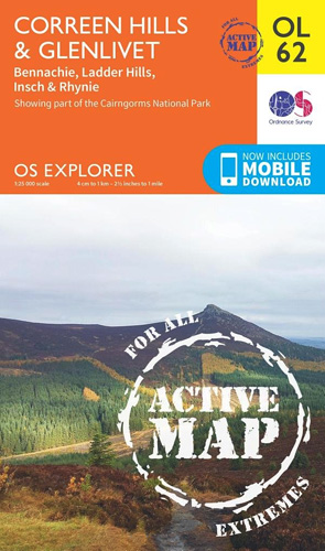
The Coreen Hills and Glenlivet area of the Scottish Highlands on a detailed topographic and GPS compatible map OL62, waterproof version, from the Ordnance Survey’s 1:25,000 Explorer series. Coverage includes part of the Cairngorms National Park,Ladder Hills, Insch, Rhynie, Bennachie, a section of the Gordon Way, etc.MOBILE DOWNLOADS: this title and all the other OS
Isles of Scilly OS Explorer Active Map 101 (waterproof)
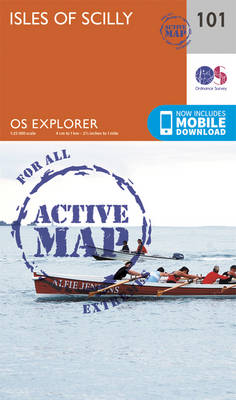
The Isles of Scilly on a detailed topographic and GPS compatible map No. 101, waterproof version, from the Ordnance Survey’s 1:25,000 Explorer series. MOBILE DOWNLOADS: this title and all the other OS Explorer maps include a code for downloading after purchase the digital version onto your smartphone or tablet for viewing on the OS smartphone
The Lizard – Falmouth & Helston OS Explorer Active Map 103 (waterproof)
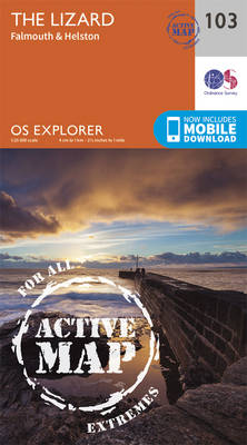
The Lizard with Falmouth and Helston area on a detailed topographic and GPS compatible map No. 103, paper version, from the Ordnance Survey’s 1:25,000 Explorer series. MOBILE DOWNLOADS: this title and all the other OS Explorer maps include a code for downloading after purchase the digital version onto your smartphone or tablet for viewing on
Redruth & St Agnes – Camborne & Perranporth OS Explorer Active Map 104 (waterproof)
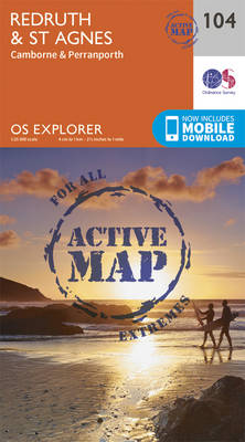
Redruth, St Agnes, Camborne and Perranporth area on a detailed topographic and GPS compatible map No. 104, waterproof version, from the Ordnance Survey’s 1:25,000 Explorer series. MOBILE DOWNLOADS: this title and all the other OS Explorer maps include a code for downloading after purchase the digital version onto your smartphone or tablet for viewing on
Falmouth & Mevagissey – Truro & St Mawes OS Explorer Active Map 105 (waterproof)
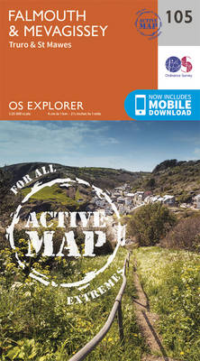
Falmouth, Mevagissey, Truro and St Mawes area on a detailed topographic and GPS compatible map No. 105, waterproof version, from the Ordnance Survey’s 1:25,000 Explorer series. MOBILE DOWNLOADS: this title and all the other OS Explorer maps include a code for downloading after purchase the digital version onto your smartphone or tablet for viewing on
Newquay & Padstow – Wadebridge, Port Isaac & St Columb Major OS Explorer Active Map 106 (waterproof)
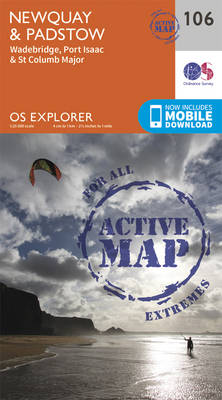
Newquay, Padstow, Wadebridge, Port Isaac and St Columb Major area on a detailed topographic and GPS compatible map No. 106, waterproof version, from the Ordnance Survey’s 1:25,000 Explorer series. MOBILE DOWNLOADS: this title and all the other OS Explorer maps include a code for downloading after purchase the digital version onto your smartphone or tablet
St Austell & Liskeard – Fowey, Looe & Lostwithiel OS Explorer Active Map 107 (waterproof)
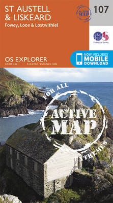
St Austell, Liskeard, Fowey, Looe and Lostwithiel area on a detailed topographic and GPS compatible map No. 107, waterproof version, from the Ordnance Survey’s 1:25,000 Explorer series.MOBILE DOWNLOADS: this title and all the other OS Explorer maps include a code for downloading after purchase the digital version onto your smartphone or tablet for viewing on