Category Archives: Maps
Paros – Antiparos Terrain Editions 310
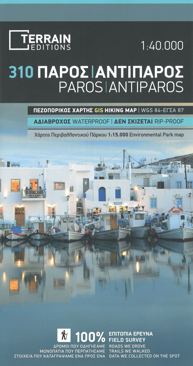
Paros and Antiparos at 1:40,000 on a contoured, GPS compatible hiking map published by Terrain Cartography group together with Skai Maps, and printed on light, waterproof and tear-resistant Polyart plastic paper, with extensive tourist information.Topography is very well presented by contours, enhanced by spot heights, subtle relief shading and additional altitude colouring. Contour interval, unless
Karpathos – Kasos Terrain Editions 345
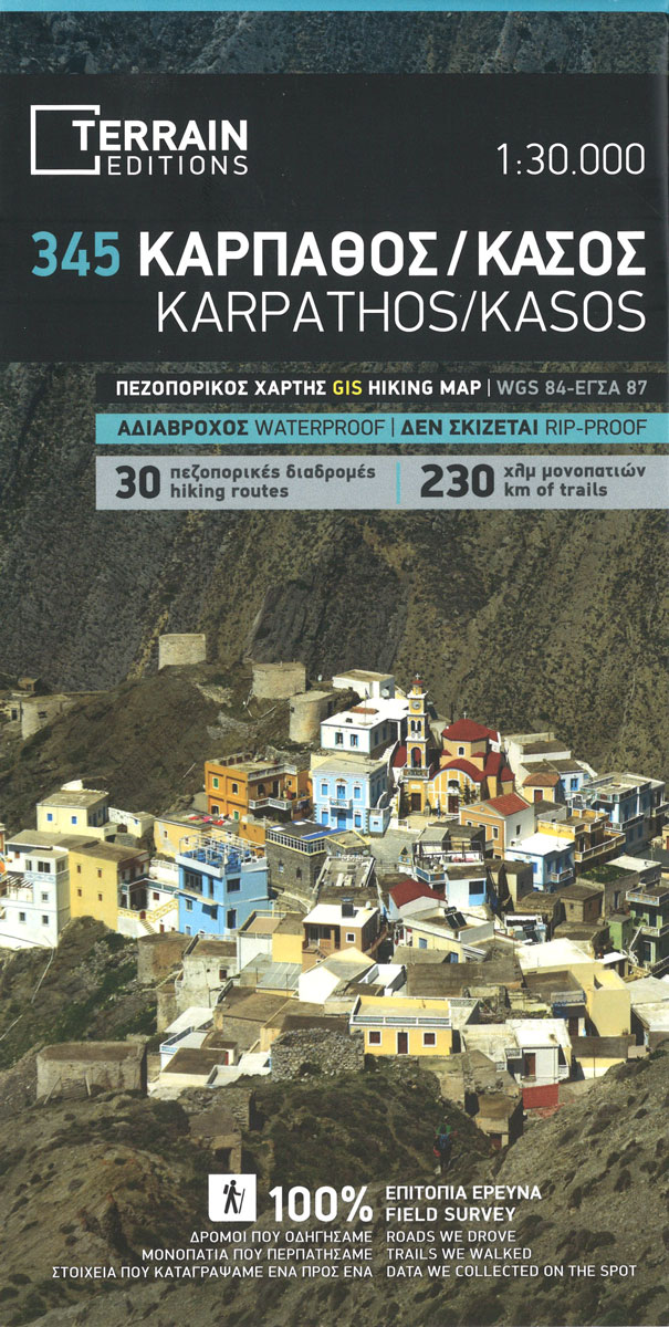
Greek islands of Karpathos and Kasos on a light, waterproof and tear-resistant, contoured and GPS compatible map at 1:60,000 from Terrain Editions. The reverse side includes descriptions of six specially selected hiking trails on Karpathos. Contour interval is 100m. All place names are shown in both Greek and Latin alphabet. Map legend and all the
Western Crete Terrain Editions 448
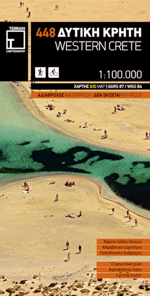
Western Crete at 1:100,000 on an indexed, GPS compatible road map from Terrain Editions, printed on light, waterproof and tear-resistant plastic paper, with a street plan of central Chania.This title is part of a series which covers Crete in three sheets. The maps have contours at 100m intervals, enhanced by relief shading with spot heights
Folegandros Terrain Editions 316
Folegandros on a light, waterproof and tear-resistant, contoured and GPS compatible map at 1:20,000 from Terrain Editions, with a large street plan of the Hora of Folegandros at 1:2,000 annotated with various facilities. On the reverse is general information about the island, plus descriptions of eight hiking trails. All place names are shown in both
Eastern Crete Terrain Editions 450

Eastern Crete at 1:100,000 on an indexed, GPS compatible road map from Terrain Editions, printed on light, waterproof and tear-resistant plastic paper, with a street plan of central Aghios Nikolaos.This title is part of a series which covers Crete in three sheets. The maps have contours at 100m intervals, enhanced by relief shading with spot
Central Crete Terrain Editions 449
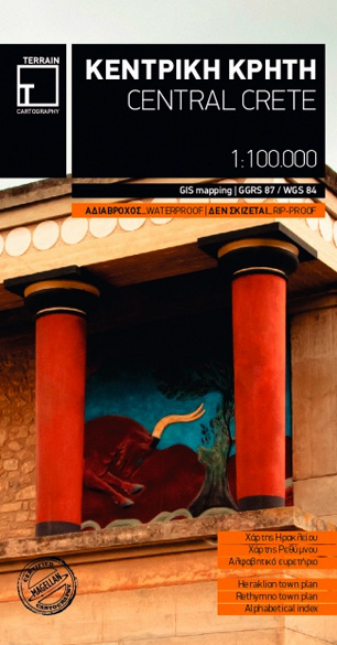
Central Crete at 1:100,000 on an indexed, GPS compatible road map from Terrain Editions, printed on light, waterproof and tear-resistant plastic paper, with street plans of central Heraklion and Rethymno.This title is part of a series which covers Crete in three sheets. The maps have contours at 100m intervals, enhanced by relief shading with spot
Greece Terrain Editions

Greece at 1:650,000 on a double-sided map from the Terrain Editions, printed on light, waterproof and tear-resistant synthetic paper and with a separate index booklet listing localities in both Greek and Latin alphabets and providing a distance table.The map divides the country north/south, with Athens included on both with the mainland and with the Peloponnese,
Skiathos Terrain Editions 319
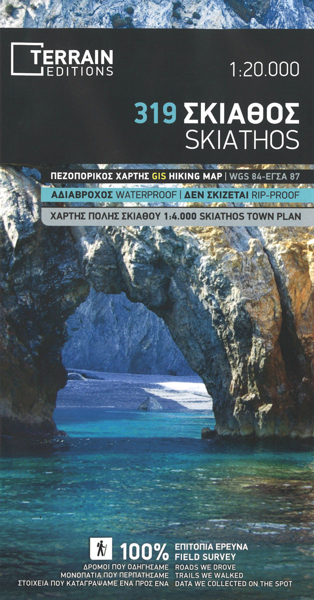
Skiathos at 1:15,000 on a contoured, GPS compatible hiking map published by Terrain Cartography group and printed on light, waterproof and tear-resistant Polyart plastic paper, with extensive tourist information.Topography is very well presented by contours, enhanced by spot heights, subtle relief shading and additional altitude colouring. Contour interval, unless indicated below to the contrary, is
Crete Terrain Editions Regional Map 7
Crete at 1:200,000 on an indexed, double-sided road map from Terrain Editions, printed on light, waterproof and tear-resistant synthetic paper, with street plans of the island’s four main towns: Iraklion, Rethymno, Chania and Aghios Nikolaos. The map divides the island east/west, with a generous overlap between the sides. All place names are in both Greek
Crete: Lasithi Prefecture 150K Terrain Editions Map
Lasithi Prefecture, the easternmost part of Crete, on a road map at 1:150,000 from the Athens-based Terrain Editions, highlighting scenic routes, campsites, archaeological remains and other places of interest. On the reverse a town centre street plan of Aghios Nikolaos.Maps in this series present Crete’s topography by satellite-based relief shading, with spot heights for selected
Central Macedonia Terrain Editions Regional Map 2
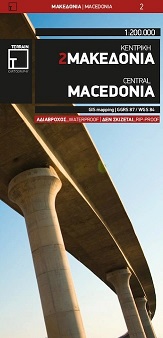
Central Macedonia at 1:200,000 in a series of regional road maps of Greece from Terrain Editions, printed on light, waterproof and tear-resistant synthetic paper. The map is double-sided, with Thessaloniki on both sides, and includes coverage of the Khalkidhiki Peninsula. Topography is shown by relief shading with light altitude colouring and plenty of names of
Psara Terrain Editions 329
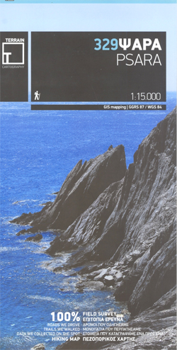
Psara at 1:15,000 on a contoured, GPS compatible hiking map published by Terrain Cartography group and printed on light, waterproof and tear-resistant Polyart plastic paper, with extensive tourist information.Topography is very well presented by contours, enhanced by spot heights, subtle relief shading and additional altitude colouring. Contour interval, unless indicated below to the contrary, is
Thrace and Eastern Macedonia Terrain Editions Regional Map 1

Thrace and Eastern Macedonia at 1:200,000 in a series of regional road maps of Greece from Terrain Editions, printed on light, waterproof and tear-resistant synthetic paper. The map is double-sided, with a small overlap between the sides, and included the islands of Thasos and Samothrace (Samothraki) as well as part of the Khalkidhiki Peninsula with
Samothrace Terrain Editions 324 SUPERCEDED
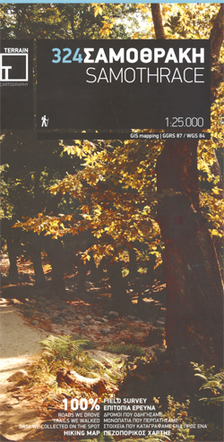
Samothrace at 1:25,000 on a contoured, GPS compatible hiking map published by Terrain Cartography group and printed on light, waterproof and tear-resistant Polyart plastic paper, with extensive tourist information.Topography is very well presented by contours, enhanced by spot heights, subtle relief shading and additional altitude colouring. Contour interval, unless indicated below to the contrary, is
Kimolos & Polyaigos 25K Terrain Editions Pocket Map
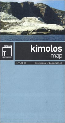
Greek islands of Kimolos and Polyaigos in the Cyclades on a contoured and GPS compatible pocket map at 1:25,000 from Terrain Editions. On the reverse are descriptions of two hiking trails on Kimolos and general notes on its history, sights, nature, etc, plus photos. All place names are shown in both Greek and Latin alphabet.
Thasos Terrain Editions 323
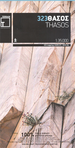
Thasos at 1:35,000 on a contoured, GPS compatible hiking map published by Terrain Cartography group and printed on light, waterproof and tear-resistant Polyart plastic paper, with extensive tourist information.Topography is very well presented by contours, enhanced by spot heights, subtle relief shading and additional altitude colouring. Contour interval, unless indicated below to the contrary, is
Spetses Terrain Editions 360
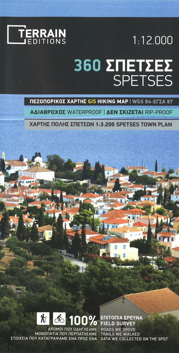
Spetses at 1: 12,500 on a contoured, GPS compatible map from a wide coverage of the Greek islands by Anavasi, printed on light, waterproof and tear-resistant plastic paper, with a street plan of Spetses Town.The map has contours at 4m intervals with additional altitude colouring. The network of roads and paths indicates earth roads, dirt
Alonissos Terrain Editions 321
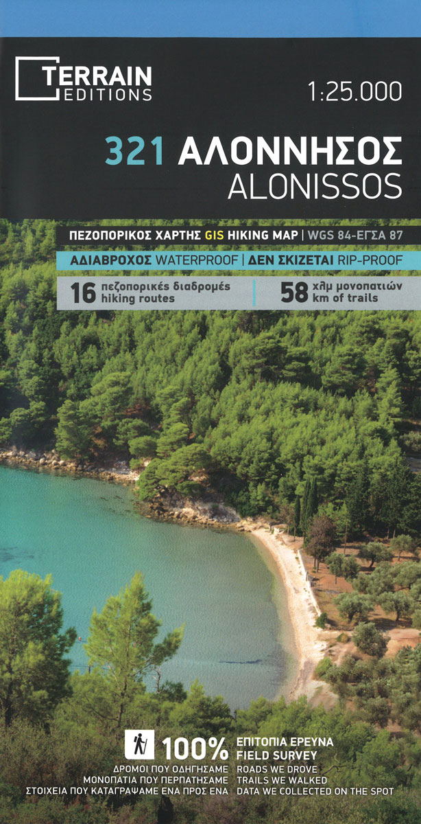
Alonissos on a light, waterproof and tear-resistant, contoured and GPS compatible map at 1:25,000 from Terrain Editions with extensive tourist information. Coverage includes the nearby islands of Peristera (Ksero), Lechousa, Mikro and Meghalo Adhelphi, with Kyra Panaghia shown as an inset. On the reverse is a street plan of Patitiri at 1:5,500, descriptions of 16
Koufonisia 15K Terrain Editions Pocket Map
Greek island of Koufonisia in the Cyclades just south-east of Naxos on a contoured and GPS compatible pocket map at 1:15,000 from Terrain Editions. The map covers both the Pano (Upper) and the Kato (Lower) Koufonisia. On the reverse are descriptions of three hiking trails and general notes on its history, sights, nature, etc, plus
Skopelos Terrain Editions 320
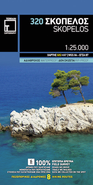
Skopelos at 1:25,000 on a contoured, GPS compatible map published by Terrain Editions, printed on light, waterproof and tear-resistant synthetic paper. Beaches indicate their surface and facilities. All place names are shown in both Greek and Latin alphabet. On the reverse are brief descriptions of seven hiking trails, plus general information about the island, illustrated


