Category Archives: Maps
Reading, Wokingham & Pangbourne OS Explorer Active Map 159 (waterproof)
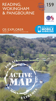
Reading, Wokingham and Pangbourne area on a detailed topographic and GPS compatible map No. 159, waterproof version, from the Ordnance Survey’s 1:25,000 Explorer series.MOBILE DOWNLOADS: this title and all the other OS Explorer maps include a code for downloading after purchase the digital version onto your smartphone or tablet for viewing on the OS smartphone
Windsor, Weybridge & Bracknell OS Explorer Active Map 160 (waterproof)

Windsor, Weybridge and Bracknell area on a detailed topographic and GPS compatible map No. 160, waterproof version, from the Ordnance Survey’s 1:25,000 Explorer series. MOBILE DOWNLOADS: this title and all the other OS Explorer maps include a code for downloading after purchase the digital version onto your smartphone or tablet for viewing on the OS
London South: Westminster, Greenwich, Croydon, Esher and Twickenham OS Explorer Active Map 161 (waterproof)
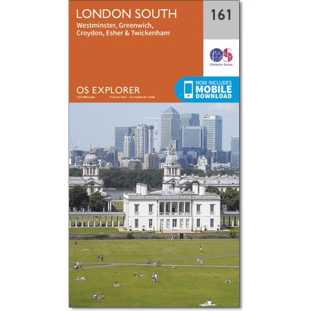
London South: Westminster, Greenwich, Croydon, Esher and Twickenham area on a detailed topographic and GPS compatible map No. 161, waterproof version, from the Ordnance Survey’s 1:25,000 Explorer series.MOBILE DOWNLOADS: this title and all the other OS Explorer maps include a code for downloading after purchase the digital version onto your smartphone or tablet for viewing
Dorking, Box Hill & Reigate – Leatherhead & Caterham OS Explorer Active Map 146 (waterproof)

Dorking, Box Hill, Reigate, Leatherhead and Caterham area on a detailed topographic and GPS compatible map No. 146, waterproof version, from the Ordnance Survey’s 1:25,000 Explorer series. MOBILE DOWNLOADS: this title and all the other OS Explorer maps include a code for downloading after purchase the digital version onto your smartphone or tablet for viewing
Greenwich and Gravesend – East End, Docklands OS Explorer Active Map 162 (waterproof)

Greenwich, Gravesend, London’s East End and Docklands area on a detailed topographic and GPS compatible map No. 162, waterproof version, from the Ordnance Survey’s 1:25,000 Explorer series. MOBILE DOWNLOADS: this title and all the other OS Explorer maps include a code for downloading after purchase the digital version onto your smartphone or tablet for viewing
Sevenoaks & Tonbridge – Royal Tunbridge Wells & Westerham OS Explorer Active Map 147 (waterproof)
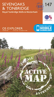
Sevenoaks, Tonbridge, Royal Tunbridge Wells and Westerham area on a detailed topographic and GPS compatible map No. 147, waterproof version, from the Ordnance Survey’s 1:25,000 Explorer series. MOBILE DOWNLOADS: this title and all the other OS Explorer maps include a code for downloading after purchase the digital version onto your smartphone or tablet for viewing
Gravesend & Rochester – Hoo Peninsula OS Explorer Active Map 163 (waterproof)

Gravesend, Rochester and the Hoo Peninsula area on a detailed topographic and GPS compatible map No. 163, waterproof version, from the Ordnance Survey’s 1:25,000 Explorer series.MOBILE DOWNLOADS: this title and all the other OS Explorer maps include a code for downloading after purchase the digital version onto your smartphone or tablet for viewing on the
Maidstone & the Medway Towns OS Explorer Active Map 148 (waterproof)
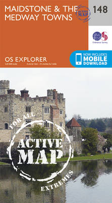
Maidstone and the Medway Towns area on a detailed topographic and GPS compatible map No. 148, waterproof version, from the Ordnance Survey’s 1:25,000 Explorer series. MOBILE DOWNLOADS: this title and all the other OS Explorer maps include a code for downloading after purchase the digital version onto your smartphone or tablet for viewing on the
Gower – Llanell OS Explorer Active Map 164 (waterproof)
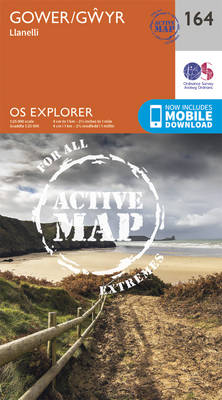
Gower – Llanelli area on a detailed topographic and GPS compatible map No. 164, waterproof version, from the Ordnance Survey’s 1:25,000 Explorer series.MOBILE DOWNLOADS: this title and all the other OS Explorer maps include a code for downloading after purchase the digital version onto your smartphone or tablet for viewing on the OS smartphone app.OS
Salisbury & Stonehenge – Wilton & Market Lavington OS Explorer Active Map 130 (waterproof)

Salisbury, Stonehenge, Wilton and Market Lavington area on a detailed topographic and GPS compatible map No. 130, waterproof version, from the Ordnance Survey’s 1:25,000 Explorer series. MOBILE DOWNLOADS: this title and all the other OS Explorer maps include a code for downloading after purchase the digital version onto your smartphone or tablet for viewing on
Romsey, Andover & Test Valley – Stockbridge & Ludgershall OS Explorer Active Map 131 (waterproof)
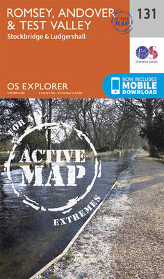
Romsey, Andover, Test Valley, Stockbridge and Ludgershall area on a detailed topographic and GPS compatible map No. 131, waterproof version, from the Ordnance Survey’s 1:25,000 Explorer series. MOBILE DOWNLOADS: this title and all the other OS Explorer maps include a code for downloading after purchase the digital version onto your smartphone or tablet for viewing
Ashdown Forest – Royal Tunbridge Wells, East Grinstead, Haywards Heath & Crowborough OS Explorer Active Map 135 (waterproof)

Ashdown Forest, Royal Tunbridge Wells, East Grinstead, Haywards Heath and Crowborough area on a detailed topographic and GPS compatible map No. 135, waterproof version, from the Ordnance Survey’s 1:25,000 Explorer series. MOBILE DOWNLOADS: this title and all the other OS Explorer maps include a code for downloading after purchase the digital version onto your smartphone
High Weald – Royal Tunbridge Wells, Cranbrook, Hawkhurst & Bewl Water OS Explorer Active Map 136 (waterproof)
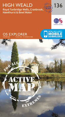
High Weald, Royal Tunbridge Wells, Cranbrook, Hawkhurst and Bewl Water area on a detailed topographic and GPS compatible map No. 136, waterproof version, from the Ordnance Survey’s 1:25,000 Explorer series. MOBILE DOWNLOADS: this title and all the other OS Explorer maps include a code for downloading after purchase the digital version onto your smartphone or
Ashford – Headcorn, Chilham & Wye OS Explorer Active Map 137 (waterproof)

Ashford, Headcorn, Chilham and Wye area on a detailed topographic and GPS compatible map No. 137, waterproof version, from the Ordnance Survey’s 1:25,000 Explorer series.MOBILE DOWNLOADS: this title and all the other OS Explorer maps include a code for downloading after purchase the digital version onto your smartphone or tablet for viewing on the OS
Dover, Folkestone & Hythe OS Explorer Active Map 138 (waterproof)
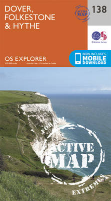
Dover, Folkestone and Hythe area on a detailed topographic and GPS compatible map No. 138, waterproof version, from the Ordnance Survey’s 1:25,000 Explorer series. MOBILE DOWNLOADS: this title and all the other OS Explorer maps include a code for downloading after purchase the digital version onto your smartphone or tablet for viewing on the OS
Bideford, Ilfracombe & Barnstaple – Woolacombe & Lundy OS Explorer Active Map 139 (waterproof)

Bideford, Ilfracombe, Barnstaple, Woolacombe and Lundy area on a detailed topographic and GPS compatible map No. 139, waterproof version, from the Ordnance Survey’s 1:25,000 Explorer series. MOBILE DOWNLOADS: this title and all the other OS Explorer maps include a code for downloading after purchase the digital version onto your smartphone or tablet for viewing on
Quantock Hills & Bridgwater OS Explorer Active Map 140 (waterproof)

Quantock Hills & Bridgwater area on a detailed topographic and GPS compatible map No. 140, waterproof version, from the Ordnance Survey’s 1:25,000 Explorer series.MOBILE DOWNLOADS: this title and all the other OS Explorer maps include a code for downloading after purchase the digital version onto your smartphone or tablet for viewing on the OS smartphone
Cheddar Gorge & Mendip Hills West – Wells & Glastonbury OS Explorer Active Map 141 (waterproof)
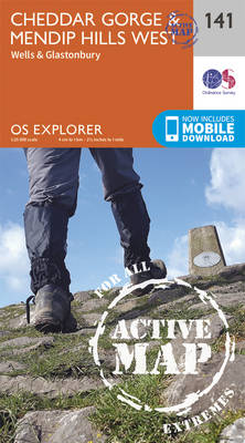
Cheddar Gorge, Mendip Hills West, Wells and Glastonbury area on a detailed topographic and GPS compatible map No. 141, waterproof version, from the Ordnance Survey’s 1:25,000 Explorer series. MOBILE DOWNLOADS: this title and all the other OS Explorer maps include a code for downloading after purchase the digital version onto your smartphone or tablet for
Shaftesbury & Cranborne Chase – Poole, Wimborne Minster & Blandford Forum OS Explorer Active Map 118 (waterproof)
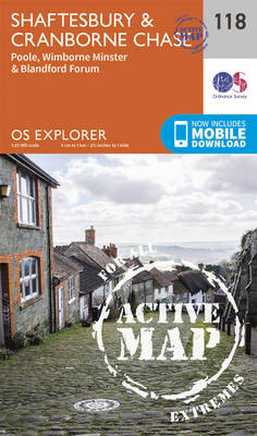
Shaftesbury, Cranborne Chase, Poole, Wimborne Minster and Blandford Forum area on a detailed topographic and GPS compatible map No. 118, waterproof version, from the Ordnance Survey’s 1:25,000 Explorer series.MOBILE DOWNLOADS: this title and all the other OS Explorer maps include a code for downloading after purchase the digital version onto your smartphone or tablet for
Shepton Mallet & Mendip Hills East – Frome & Midsomer Norton OS Explorer Active Map 142 (waterproof)
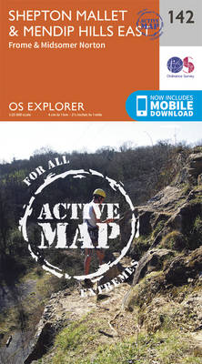
Shepton Mallet, Mendip Hills East, Frome and Midsomer Norton area on a detailed topographic and GPS compatible map No. 142, waterproof version, from the Ordnance Survey’s 1:25,000 Explorer series.MOBILE DOWNLOADS: this title and all the other OS Explorer maps include a code for downloading after purchase the digital version onto your smartphone or tablet for