Category Archives: Maps
Chiltern Hills West – Henley-on-Thames & Wallingford OS Explorer Active Map 171 (waterproof)

Chiltern Hills West: Henley-on-Thames and Wallingford area on a detailed topographic and GPS compatible map No. 171, waterproof version, from the Ordnance Survey’s 1:25,000 Explorer series.MOBILE DOWNLOADS: this title and all the other OS Explorer maps include a code for downloading after purchase the digital version onto your smartphone or tablet for viewing on the
Chiltern Hills East – High Wycombe, Maidenhead & Rickmansworth OS Explorer Active Map 172 (waterproof)

Chiltern Hills East: High Wycombe, Maidenhead and Rickmansworth area on a detailed topographic and GPS compatible map No. 172, waterproof version, from the Ordnance Survey’s 1:25,000 Explorer series. MOBILE DOWNLOADS: this title and all the other OS Explorer maps include a code for downloading after purchase the digital version onto your smartphone or tablet for
London North: The City, West End, Enfield, Ealing, Harrow & Watford OS Explorer Active Map 173 (waterproof)

London North: The City, West End, Enfield, Ealing, Harrow and Watford area on a detailed topographic and GPS compatible map No. 173, waterproof version, from the Ordnance Survey’s 1:25,000 Explorer series. MOBILE DOWNLOADS: this title and all the other OS Explorer maps include a code for downloading after purchase the digital version onto your smartphone
Epping Forest & Lee Valley – Hertford & Harlow OS Explorer ACTIVE 174

Epping Forest, Lee Valley, Hertford and Harlow area on a detailed topographic and GPS compatible map No. 174, waterproof version, from the Ordnance Survey’s 1:25,000 Explorer series.MOBILE DOWNLOADS: this title and all the other OS Explorer maps include a code for downloading after purchase the digital version onto your smartphone or tablet for viewing on
Southend-on-Sea & Basildon – Brentwood & Billericay OS Explorer Active Map 175 (waterproof)

Southend-on-Sea, Basildon, Brentwood and Billericay area on a detailed topographic and GPS compatible map No. 175, waterproof version, from the Ordnance Survey’s 1:25,000 Explorer series.MOBILE DOWNLOADS: this title and all the other OS Explorer maps include a code for downloading after purchase the digital version onto your smartphone or tablet for viewing on the OS
Blackwater Estuary: Maldon, Burnham-on-Crouch & Southend-on-Sea OS Explorer Active Map 176 (waterproof)
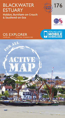
Blackwater Estuary: Maldon, Burnham-on-Crouch and Southend-on-Sea area on a detailed topographic and GPS compatible map No. 176, waterproof version, from the Ordnance Survey’s 1:25,000 Explorer series. MOBILE DOWNLOADS: this title and all the other OS Explorer maps include a code for downloading after purchase the digital version onto your smartphone or tablet for viewing on
Carmarthen & Kidwelly – Pendine & Laugharne OS Explorer Active Map 177 (waterproof)
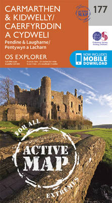
Carmarthen, Kidwelly, Pendine and Laugharne area on a detailed topographic and GPS compatible map No. 177, waterproof version, from the Ordnance Survey’s 1:25,000 Explorer series. MOBILE DOWNLOADS: this title and all the other OS Explorer maps include a code for downloading after purchase the digital version onto your smartphone or tablet for viewing on the
Llanelli & Ammanford – Kidwelly OS Explorer Active Map 178 (waterproof)
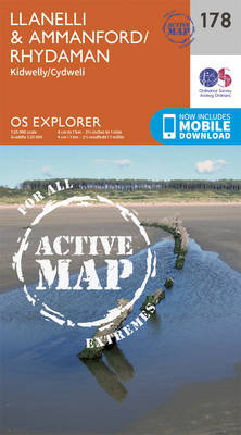
Llanelli, Ammanford and Kidwelly area on a detailed topographic and GPS compatible map No. 178, waterproof version, from the Ordnance Survey’s 1:25,000 Explorer series. MOBILE DOWNLOADS: this title and all the other OS Explorer maps include a code for downloading after purchase the digital version onto your smartphone or tablet for viewing on the OS
Gloucester, Cheltenham & Stroud OS Explorer Active Map 179 (waterproof)
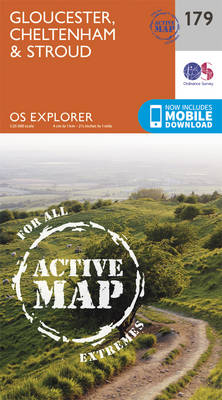
Gloucester, Cheltenham and Stroud area on a detailed topographic and GPS compatible map No. 179, waterproof version, from the Ordnance Survey’s 1:25,000 Explorer series.MOBILE DOWNLOADS: this title and all the other OS Explorer maps include a code for downloading after purchase the digital version onto your smartphone or tablet for viewing on the OS smartphone
Maidstone & the Medway Towns OS Explorer Active Map 148 (waterproof)
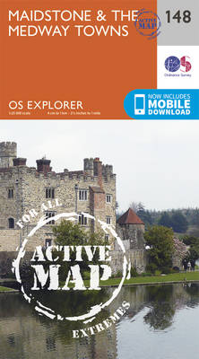
Maidstone and the Medway Towns area on a detailed topographic and GPS compatible map No. 148, waterproof version, from the Ordnance Survey’s 1:25,000 Explorer series. MOBILE DOWNLOADS: this title and all the other OS Explorer maps include a code for downloading after purchase the digital version onto your smartphone or tablet for viewing on the
Gower – Llanell OS Explorer Active Map 164 (waterproof)
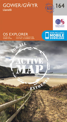
Gower – Llanelli area on a detailed topographic and GPS compatible map No. 164, waterproof version, from the Ordnance Survey’s 1:25,000 Explorer series.MOBILE DOWNLOADS: this title and all the other OS Explorer maps include a code for downloading after purchase the digital version onto your smartphone or tablet for viewing on the OS smartphone app.OS
Sittingbourne & Faversham – Isle of Sheppey OS Explorer Active Map 149 (waterproof)
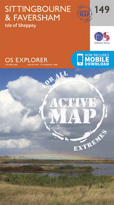
Sittingbourne, Faversham and the Isle of Sheppey area on a detailed topographic and GPS compatible map No. 149, waterproof version, from the Ordnance Survey’s 1:25,000 Explorer series.MOBILE DOWNLOADS: this title and all the other OS Explorer maps include a code for downloading after purchase the digital version onto your smartphone or tablet for viewing on
Swansea – Neath & Port Talbot OS Explorer Active Map 165 (wateproof)

Swansea, Neath and Port Talbot area on a detailed topographic and GPS compatible map No. 165, waterproof version, from the Ordnance Survey’s 1:25,000 Explorer series.MOBILE DOWNLOADS: this title and all the other OS Explorer maps include a code for downloading after purchase the digital version onto your smartphone or tablet for viewing on the OS
Canterbury & the Isle of Thanet – Herne Bay, Deal & Whitstable OS Explorer Active Map 150 (waterproof)
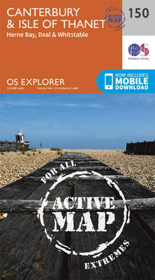
Canterbury, the Isle of Thanet, Herne Bay, Deal and Whitstable area on a detailed topographic and GPS compatible map No. 150, waterproof version, from the Ordnance Survey’s 1:25,000 Explorer series.MOBILE DOWNLOADS: this title and all the other OS Explorer maps include a code for downloading after purchase the digital version onto your smartphone or tablet
Cardiff & Bridgend – Vale of Glamorgan OS Explorer Active Map 151 (waterproof)

Cardiff, Bridgend and the Vale of Glamorgan area on a detailed topographic and GPS compatible map No. 151, waterproof version, from the Ordnance Survey’s 1:25,000 Explorer series. MOBILE DOWNLOADS: this title and all the other OS Explorer maps include a code for downloading after purchase the digital version onto your smartphone or tablet for viewing
Newport & Pontypool OS Explorer Active Map 152 (waterproof)

Newport and Pontypool area on a detailed topographic and GPS compatible map No. 152, waterproof version, from the Ordnance Survey’s 1:25,000 Explorer series. MOBILE DOWNLOADS: this title and all the other OS Explorer maps include a code for downloading after purchase the digital version onto your smartphone or tablet for viewing on the OS smartphone
Weston-super-Mare & Bleadon Hill – Burnham-on-Sea & Clevedon OS Explorer Active Map 153 (waterproof)

Weston-super-Mare, Bleadon Hill, Burnham-on-Sea and Clevedon area on a detailed topographic and GPS compatible map No. 153, waterproof version, from the Ordnance Survey’s 1:25,000 Explorer series. MOBILE DOWNLOADS: this title and all the other OS Explorer maps include a code for downloading after purchase the digital version onto your smartphone or tablet for viewing on
Bristol West & Portishead – Congresbury & Chew Magna OS Explorer Active Map 154 (waterproof)

Bristol West, Portishead, Congresbury and Chew Magna area on a detailed topographic and GPS compatible map No. 154, waterproof version, from the Ordnance Survey’s 1:25,000 Explorer series.MOBILE DOWNLOADS: this title and all the other OS Explorer maps include a code for downloading after purchase the digital version onto your smartphone or tablet for viewing on
Bristol & Bath – Keynsham & Marshfield OS Explorer Active Map 155 (waterproof)
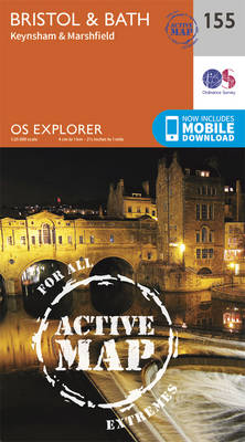
Bristol, Bath, Keynsham and Marshfield area on a detailed topographic and GPS compatible map No. 155, waterproof version, from the Ordnance Survey’s 1:25,000 Explorer series. MOBILE DOWNLOADS: this title and all the other OS Explorer maps include a code for downloading after purchase the digital version onto your smartphone or tablet for viewing on the
Chippenham & Bradford-on-Avon – Trowbridge & Melksham OS Explorer Active Map 156 (waterproof)
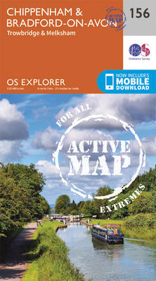
Chippenham, Bradford-on-Avon, Trowbridge and Melksham area on a detailed topographic and GPS compatible map No. 156, waterproof version, from the Ordnance Survey’s 1:25,000 Explorer series. MOBILE DOWNLOADS: this title and all the other OS Explorer maps include a code for downloading after purchase the digital version onto your smartphone or tablet for viewing on the