Category Archives: Maps
Leominster & Bromyard – Hereford North ACTIVE
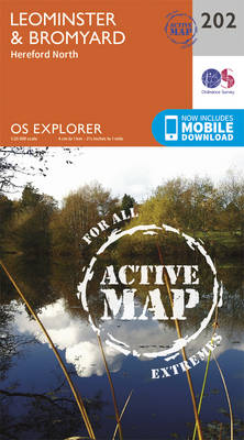
Leominster, Bromyard and Hereford North area on a detailed topographic and GPS compatible map No. 202, waterproof version, from the Ordnance Survey’s 1:25,000 Explorer series.MOBILE DOWNLOADS: this title and all the other OS Explorer maps include a code for downloading after purchase the digital version onto your smartphone or tablet for viewing on the OS
Llandovery, Llanwrtyd Wells & Llyn Brianne OS Explorer Active Map 187 (waterproof)
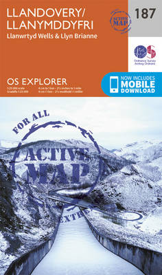
Llandovery, Llanwrtyd Wells and Llyn Brianne area on a detailed topographic and GPS compatible map No. 187, waterproof version, from the Ordnance Survey’s 1:25,000 Explorer series. MOBILE DOWNLOADS: this title and all the other OS Explorer maps include a code for downloading after purchase the digital version onto your smartphone or tablet for viewing on
Ludlow – Tenbury Wells & Cleobury Mortimer OS Explorer Active Map 203 (waterproof)
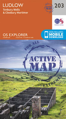
Ludlow, Tenbury Wells and Cleobury Mortimer area on a detailed topographic and GPS compatible map No. 203, waterproof version, from the Ordnance Survey’s 1:25,000 Explorer series.MOBILE DOWNLOADS: this title and all the other OS Explorer maps include a code for downloading after purchase the digital version onto your smartphone or tablet for viewing on the
Builth Wells, Painscastle & Talgarth OS Explorer Active Map 188 (waterproof)

Builth Wells, Painscastle and Talgarth area on a detailed topographic and GPS compatible map No. 188, waterproof version, from the Ordnance Survey’s 1:25,000 Explorer series. MOBILE DOWNLOADS: this title and all the other OS Explorer maps include a code for downloading after purchase the digital version onto your smartphone or tablet for viewing on the
Worcester & Droitwich Spa OS Explorer Active Map 204 (waterproof)

Worcester and Droitwich Spa area on a detailed topographic and GPS compatible map No. 204, waterproof version, from the Ordnance Survey’s 1:25,000 Explorer series. MOBILE DOWNLOADS: this title and all the other OS Explorer maps include a code for downloading after purchase the digital version onto your smartphone or tablet for viewing on the OS
Hereford & Ross-on-Wye OS Explorer Active Map 189 (waterproof)

Hereford and Ross-on-Wye area on a detailed topographic and GPS compatible map No. 189, waterproof version, from the Ordnance Survey’s 1:25,000 Explorer series.MOBILE DOWNLOADS: this title and all the other OS Explorer maps include a code for downloading after purchase the digital version onto your smartphone or tablet for viewing on the OS smartphone app.OS
Stratford-upon-Avon & Evesham – Alcester OS Explorer Active Map 205 (waterproof)
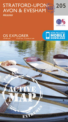
Stratford-upon-Avon, Evesham and Alcester area on a detailed topographic and GPS compatible map No. 205, waterproof version, from the Ordnance Survey’s 1:25,000 Explorer series. MOBILE DOWNLOADS: this title and all the other OS Explorer maps include a code for downloading after purchase the digital version onto your smartphone or tablet for viewing on the OS
Malvern Hills & Bredon Hill – Tewkesbury, Ledbury, Pershore & Upton upon Severn OS Explorer Active Map 190 (waterproof)
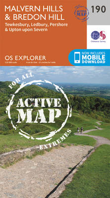
Malvern Hills, Bredon Hill, Tewkesbury, Ledbury, Pershore and Upton upon Severn area on a detailed topographic and GPS compatible map No. 190, waterproof version, from the Ordnance Survey’s 1:25,000 Explorer series. MOBILE DOWNLOADS: this title and all the other OS Explorer maps include a code for downloading after purchase the digital version onto your smartphone
Banbury, Bicester & Chipping Norton – Brackley OS Explorer Active Map 191 (waterproof)
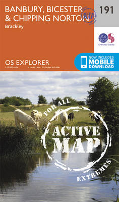
Banbury, Bicester, Chipping Norton and Brackley area on a detailed topographic and GPS compatible map No. 191, waterproof version, from the Ordnance Survey’s 1:25,000 Explorer series.MOBILE DOWNLOADS: this title and all the other OS Explorer maps include a code for downloading after purchase the digital version onto your smartphone or tablet for viewing on the
Blackwater Estuary: Maldon, Burnham-on-Crouch & Southend-on-Sea OS Explorer Active Map 176 (waterproof)
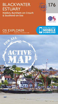
Blackwater Estuary: Maldon, Burnham-on-Crouch and Southend-on-Sea area on a detailed topographic and GPS compatible map No. 176, waterproof version, from the Ordnance Survey’s 1:25,000 Explorer series. MOBILE DOWNLOADS: this title and all the other OS Explorer maps include a code for downloading after purchase the digital version onto your smartphone or tablet for viewing on
Carmarthen & Kidwelly – Pendine & Laugharne OS Explorer Active Map 177 (waterproof)
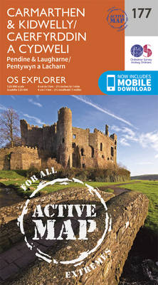
Carmarthen, Kidwelly, Pendine and Laugharne area on a detailed topographic and GPS compatible map No. 177, waterproof version, from the Ordnance Survey’s 1:25,000 Explorer series. MOBILE DOWNLOADS: this title and all the other OS Explorer maps include a code for downloading after purchase the digital version onto your smartphone or tablet for viewing on the
Llanelli & Ammanford – Kidwelly OS Explorer Active Map 178 (waterproof)
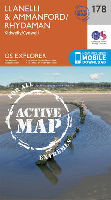
Llanelli, Ammanford and Kidwelly area on a detailed topographic and GPS compatible map No. 178, waterproof version, from the Ordnance Survey’s 1:25,000 Explorer series. MOBILE DOWNLOADS: this title and all the other OS Explorer maps include a code for downloading after purchase the digital version onto your smartphone or tablet for viewing on the OS
Gloucester, Cheltenham & Stroud OS Explorer Active Map 179 (waterproof)
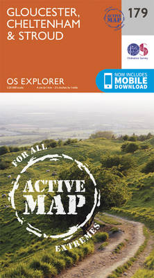
Gloucester, Cheltenham and Stroud area on a detailed topographic and GPS compatible map No. 179, waterproof version, from the Ordnance Survey’s 1:25,000 Explorer series.MOBILE DOWNLOADS: this title and all the other OS Explorer maps include a code for downloading after purchase the digital version onto your smartphone or tablet for viewing on the OS smartphone
Oxford, Witney & Woodstock OS Explorer Map 180 (waterproof)
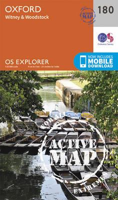
Oxford, Witney and Woodstock area on a detailed topographic and GPS compatible map No. 180, waterproof version, from the Ordnance Survey’s 1:25,000 Explorer series. MOBILE DOWNLOADS: this title and all the other OS Explorer maps include a code for downloading after purchase the digital version onto your smartphone or tablet for viewing on the OS
Chiltern Hills North: Aylesbury, Berkhamsted & Chesham OS Explorer Active Map 181 (waterproof)

Chiltern Hills North: Aylesbury, Berkhamsted and Chesham area on a detailed topographic and GPS compatible map No. 181, waterproof version, from the Ordnance Survey’s 1:25,000 Explorer series. MOBILE DOWNLOADS: this title and all the other OS Explorer maps include a code for downloading after purchase the digital version onto your smartphone or tablet for viewing
Rhondda & Merthyr Tydfil OS Explorer Active Map 166 (waterproof)
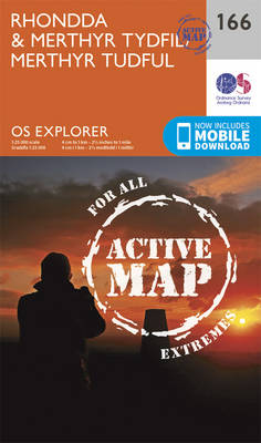
Rhondda and Merthyr Tydfil area on a detailed topographic and GPS compatible map No. 166, waterproof version, from the Ordnance Survey’s 1:25,000 Explorer series.MOBILE DOWNLOADS: this title and all the other OS Explorer maps include a code for downloading after purchase the digital version onto your smartphone or tablet for viewing on the OS smartphone
St Albans & Hatfield – Hemel Hempstead & Welwyn Garden City OS Explorer Active Map 182 (waterproof)
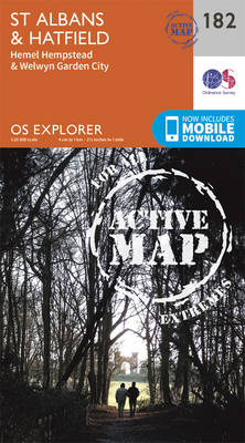
St Albans, Hatfield, Hemel Hempstead and Welwyn Garden area on a detailed topographic and GPS compatible map No. 182, waterproof version, from the Ordnance Survey’s 1:25,000 Explorer series. MOBILE DOWNLOADS: this title and all the other OS Explorer maps include a code for downloading after purchase the digital version onto your smartphone or tablet for
Thornbury, Dursley & Yate OS Explorer Active Map 167 (waterproof)

Thornbury, Dursley, Yate, Berkeley and Wotton-under-Edge area on a detailed topographic and GPS compatible map No. 167, waterproof version, from the Ordnance Survey’s 1:25,000 Explorer series. MOBILE DOWNLOADS: this title and all the other OS Explorer maps include a code for downloading after purchase the digital version onto your smartphone or tablet for viewing on
Chelmsford & The Rodings – Maldon & Witham OS Explorer Active Map 183 (waterproof)
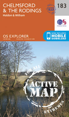
Chelmsford, The Rodings, Maldon and Witham area on a detailed topographic and GPS compatible map No. 183, waterproof version, from the Ordnance Survey’s 1:25,000 Explorer series. MOBILE DOWNLOADS: this title and all the other OS Explorer maps include a code for downloading after purchase the digital version onto your smartphone or tablet for viewing on
Stroud, Tetbury & Malmesbury OS Explorer Active Map 168 (waterproof)

Stroud, Tetbury and Malmesbury area on a detailed topographic and GPS compatible map No. 168, waterproof version, from the Ordnance Survey’s 1:25,000 Explorer series. MOBILE DOWNLOADS: this title and all the other OS Explorer maps include a code for downloading after purchase the digital version onto your smartphone or tablet for viewing on the OS