Category Archives: Maps
Birmingham – Walsall, Solihull & Redditch OS Explorer Active Map 220 (waterproof)

Birmingham, Walsall, Solihull and Redditch area on a detailed topographic and GPS compatible map No. 220, waterproof version, from the Ordnance Survey’s 1:25,000 Explorer series. MOBILE DOWNLOADS: this title and all the other OS Explorer maps include a code for downloading after purchase the digital version onto your smartphone or tablet for viewing on the
Coventry & Warwick – Royal Leamington Spa & Kenilworth OS Explorer Active Map 221 (waterproof)
Coventry, Warwick, Royal Leamington Spa and Kenilworth area on a detailed topographic and GPS compatible map No. 221, waterproof version, from the Ordnance Survey’s 1:25,000 Explorer series.MOBILE DOWNLOADS: this title and all the other OS Explorer maps include a code for downloading after purchase the digital version onto your smartphone or tablet for viewing on
Rugby & Daventry – Southam & Lutterworth OS Explorer Active Map 222 (waterproof)

Rugby, Daventry, Southam and Lutterworth area on a detailed topographic and GPS compatible map No. 222, waterproof version, from the Ordnance Survey’s 1:25,000 Explorer series. MOBILE DOWNLOADS: this title and all the other OS Explorer maps include a code for downloading after purchase the digital version onto your smartphone or tablet for viewing on the
Edge Hill & Fenny Compton – Badby, Kineton & Middle Tysoe OS Explorer Active Map 206 (waterproof)

Edge Hill, Fenny Compton, Badby, Kineton and Middle Tysoe area on a detailed topographic and GPS compatible map No. 206, waterproof version, from the Ordnance Survey’s 1:25,000 Explorer series.MOBILE DOWNLOADS: this title and all the other OS Explorer maps include a code for downloading after purchase the digital version onto your smartphone or tablet for
Northampton & Market Harborough – Brixworth & Pitsford Water OS Explorer Active Map 223 (waterproof)

Northampton, Market Harborough, Brixworth and Pitsford Water area on a detailed topographic and GPS compatible map No. 223, waterproof version, from the Ordnance Survey’s 1:25,000 Explorer series. MOBILE DOWNLOADS: this title and all the other OS Explorer maps include a code for downloading after purchase the digital version onto your smartphone or tablet for viewing
Newport Pagnell & Northampton South – Towcester & Olney OS Explorer Active Map 207 (waterproof)
Newport Pagnell, Northampton South, Towcester and Olney area on a detailed topographic and GPS compatible map No. 207, waterproof version, from the Ordnance Survey’s 1:25,000 Explorer series. MOBILE DOWNLOADS: this title and all the other OS Explorer maps include a code for downloading after purchase the digital version onto your smartphone or tablet for viewing
Corby, Kettering & Wellingborough – Rockingham Forest OS Explorer Active Map 224 (waterproof)
Corby, Kettering, Wellingborough and Rockingham Forest area on a detailed topographic and GPS compatible map No. 224, waterproof version, from the Ordnance Survey’s 1:25,000 Explorer series. MOBILE DOWNLOADS: this title and all the other OS Explorer maps include a code for downloading after purchase the digital version onto your smartphone or tablet for viewing on
Bedford & St Neots – Sandy & Biggleswade OS Explorer Active Map 208 (waterproof)

Bedford, St Neots, Sandy and Biggleswade area on a detailed topographic and GPS compatible map No. 208, waterproof version, from the Ordnance Survey’s 1:25,000 Explorer series. MOBILE DOWNLOADS: this title and all the other OS Explorer maps include a code for downloading after purchase the digital version onto your smartphone or tablet for viewing on
Huntingdon & St Ives – Grafham Water OS Explorer Active Map 225 (waterproof)
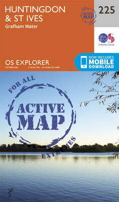
Huntingdon, St Ives and Grafham Water area on a detailed topographic and GPS compatible map No. 225, waterproof version, from the Ordnance Survey’s 1:25,000 Explorer series. MOBILE DOWNLOADS: this title and all the other OS Explorer maps include a code for downloading after purchase the digital version onto your smartphone or tablet for viewing on
Luton & Stevenage – Hitchin & Ampthill OS Explorer Active Map 193 (waterproof)
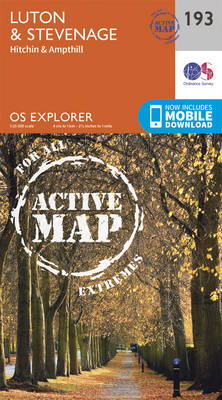
Luton, Stevenage, Hitchin and Ampthill area on a detailed topographic and GPS compatible map No. 193, waterproof version, from the Ordnance Survey’s 1:25,000 Explorer series.MOBILE DOWNLOADS: this title and all the other OS Explorer maps include a code for downloading after purchase the digital version onto your smartphone or tablet for viewing on the OS
Hertford & Bishop`s Stortford – Buntingford & Clavering OS Explorer Active Map 194 (waterproof)

Hertford, Bishop`s Stortford, Buntingford and Clavering area on a detailed topographic and GPS compatible map No. 194, waterproof version, from the Ordnance Survey’s 1:25,000 Explorer series. MOBILE DOWNLOADS: this title and all the other OS Explorer maps include a code for downloading after purchase the digital version onto your smartphone or tablet for viewing on
Braintree & Saffron Walden – Halstead & Great Dunmow OS Explorer Active Map 195 (waterproof)

Braintree, Saffron Walden, Halstead and Great Dunmow area on a detailed topographic and GPS compatible map No. 195, waterproof version, from the Ordnance Survey’s 1:25,000 Explorer series.MOBILE DOWNLOADS: this title and all the other OS Explorer maps include a code for downloading after purchase the digital version onto your smartphone or tablet for viewing on
Sudbury, Hadleigh & Dedham Vale – Lavenham & Long Melford OS Explorer Active Map 196 (waterproof)
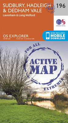
Sudbury, Hadleigh, Dedham Vale, Lavenham and Long Melford area on a detailed topographic and GPS compatible map No. 196, waterproof version, from the Ordnance Survey’s 1:25,000 Explorer series. MOBILE DOWNLOADS: this title and all the other OS Explorer maps include a code for downloading after purchase the digital version onto your smartphone or tablet for
Ipswich, Felixstowe & Harwich – Woodbridge & Manningtree OS Explorer Active Map 197 (waterproof)
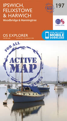
Ipswich, Felixstowe, Harwich, Woodbridge and Manningtree area on a detailed topographic and GPS compatible map No. 197, waterproof version, from the Ordnance Survey’s 1:25,000 Explorer series.MOBILE DOWNLOADS: this title and all the other OS Explorer maps include a code for downloading after purchase the digital version onto your smartphone or tablet for viewing on the
Cardigan & New Quay – Aberaeron OS Explorer Active Map 198 (waterproof)

Cardigan, New Quay and Aberaeron area on a detailed topographic and GPS compatible map No. 198, waterproof version, from the Ordnance Survey’s 1:25,000 Explorer series.MOBILE DOWNLOADS: this title and all the other OS Explorer maps include a code for downloading after purchase the digital version onto your smartphone or tablet for viewing on the OS
Lampeter – Tregaron & Llan-non OS Explorer Active Map 199 (waterproof)

Lampeter, Tregaron and Llan-non area on a detailed topographic and GPS compatible map No. 199, waterproof version, from the Ordnance Survey’s 1:25,000 Explorer series.MOBILE DOWNLOADS: this title and all the other OS Explorer maps include a code for downloading after purchase the digital version onto your smartphone or tablet for viewing on the OS smartphone
Llandrindod Wells & Elan Valley – Rhayader OS Active Explorer Map 200 (waterproof)
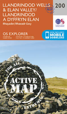
Llandrindod Wells, Elan Valley and Rhayader area on a detailed topographic and GPS compatible map No. 200, waterproof version, from the Ordnance Survey’s 1:25,000 Explorer series. MOBILE DOWNLOADS: this title and all the other OS Explorer maps include a code for downloading after purchase the digital version onto your smartphone or tablet for viewing on
Knighton & Presteigne – Kington & Hay-on-Wye OS Explorer Active Map 201(waterproof)
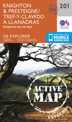
Knighton, Presteigne, Kington and Hay-on-Wye area on a detailed topographic and GPS compatible map No. 201, waterproof version, from the Ordnance Survey’s 1:25,000 Explorer series.MOBILE DOWNLOADS: this title and all the other OS Explorer maps include a code for downloading after purchase the digital version onto your smartphone or tablet for viewing on the OS
Llandeilo & Brechfa Forest – Llanybydder OS Explorer Active Map 186 (waterproof)
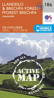
Llandeilo, Brechfa Forest and Llanybydder area on a detailed topographic and GPS compatible map No. 186, waterproof version, from the Ordnance Survey’s 1:25,000 Explorer series.MOBILE DOWNLOADS: this title and all the other OS Explorer maps include a code for downloading after purchase the digital version onto your smartphone or tablet for viewing on the OS
Leominster & Bromyard – Hereford North ACTIVE
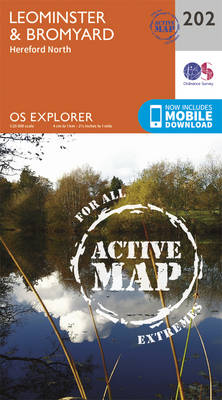
Leominster, Bromyard and Hereford North area on a detailed topographic and GPS compatible map No. 202, waterproof version, from the Ordnance Survey’s 1:25,000 Explorer series.MOBILE DOWNLOADS: this title and all the other OS Explorer maps include a code for downloading after purchase the digital version onto your smartphone or tablet for viewing on the OS