Category Archives: Maps
Southwold & Bungay – Halesworth & Kessingland OS Explorer Active Map 231 (waterproof)
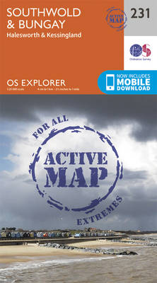
Southwold, Bungay, Halesworth and Kessingland area on a detailed topographic and GPS compatible map No. 231, waterproof version, from the Ordnance Survey’s 1:25,000 Explorer series.MOBILE DOWNLOADS: this title and all the other OS Explorer maps include a code for downloading after purchase the digital version onto your smartphone or tablet for viewing on the OS
Nuneaton & Tamworth – Lichfield & Atherstone OS Explorer Active Map 232 (waterproof)
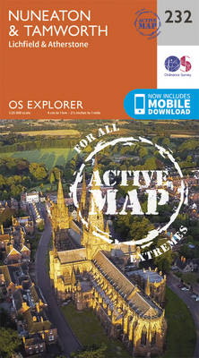
Nuneaton, Tamworth, Lichfield and Atherstone area on a detailed topographic and GPS compatible map No. 232, waterproof version, from the Ordnance Survey’s 1:25,000 Explorer series. MOBILE DOWNLOADS: this title and all the other OS Explorer maps include a code for downloading after purchase the digital version onto your smartphone or tablet for viewing on the
Leicester & Hinckley OS Explorer Active Map 233 (waterproof)

Leicester and Hinckley area on a detailed topographic and GPS compatible map No. 233, waterproof version, from the Ordnance Survey’s 1:25,000 Explorer series. MOBILE DOWNLOADS: this title and all the other OS Explorer maps include a code for downloading after purchase the digital version onto your smartphone or tablet for viewing on the OS smartphone
Rutland Water – Stamford & Oakham OS Explorer Active Map 234 (waterproof)

Rutland Water, Stamford and Oakham area on a detailed topographic and GPS compatible map No. 234, waterproof version, from the Ordnance Survey’s 1:25,000 Explorer series. MOBILE DOWNLOADS: this title and all the other OS Explorer maps include a code for downloading after purchase the digital version onto your smartphone or tablet for viewing on the
Wisbech & Peterborough North – Market Deeping & Crowland OS Explorer Active Map 235 (waterproof)
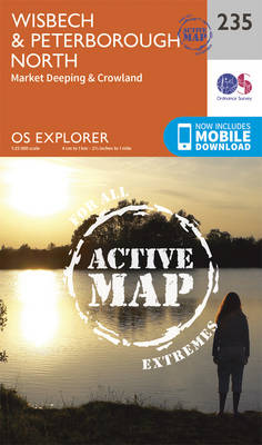
Wisbech, Peterborough North, Market Deeping and Crowland area on a detailed topographic and GPS compatible map No. 235, waterproof version, from the Ordnance Survey’s 1:25,000 Explorer series. MOBILE DOWNLOADS: this title and all the other OS Explorer maps include a code for downloading after purchase the digital version onto your smartphone or tablet for viewing
King`s Lynn, Downham Market & Swaffham OS Explorer Active Map 236 (waterproof)
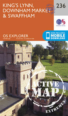
King`s Lynn, Downham Market and Swaffham area on a detailed topographic and GPS compatible map No. 236, waterproof version, from the Ordnance Survey’s 1:25,000 Explorer series.MOBILE DOWNLOADS: this title and all the other OS Explorer maps include a code for downloading after purchase the digital version onto your smartphone or tablet for viewing on the
Norwich – Wymondham, Attleborough & Watton OS Explorer Active Map 237 (waterproof)

Norwich, Wymondham, Attleborough and Watton area on a detailed topographic and GPS compatible map No. 237, waterproof version, from the Ordnance Survey’s 1:25,000 Explorer series. MOBILE DOWNLOADS: this title and all the other OS Explorer maps include a code for downloading after purchase the digital version onto your smartphone or tablet for viewing on the
Dereham & Aylsham – Castle Acre & Reepham OS Explorer Active Map 238 (waterproof)

Dereham, Aylsham, Castle Acre and Reepham area on a detailed topographic and GPS compatible map No. 238, waterproof version, from the Ordnance Survey’s 1:25,000 Explorer series.MOBILE DOWNLOADS: this title and all the other OS Explorer maps include a code for downloading after purchase the digital version onto your smartphone or tablet for viewing on the
Lake Vyrnwy & Llanfyllin – Tanat Valley OS Explorer Active Map 239 (waterproof)
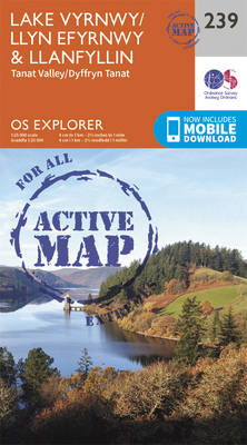
Lake Vyrnwy, Llanfyllin and Tanat Valley area on a detailed topographic and GPS compatible map No. 239, waterproof version, from the Ordnance Survey’s 1:25,000 Explorer series.MOBILE DOWNLOADS: this title and all the other OS Explorer maps include a code for downloading after purchase the digital version onto your smartphone or tablet for viewing on the
Newport Pagnell & Northampton South – Towcester & Olney OS Explorer Active Map 207 (waterproof)
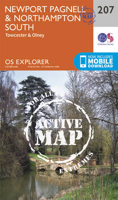
Newport Pagnell, Northampton South, Towcester and Olney area on a detailed topographic and GPS compatible map No. 207, waterproof version, from the Ordnance Survey’s 1:25,000 Explorer series. MOBILE DOWNLOADS: this title and all the other OS Explorer maps include a code for downloading after purchase the digital version onto your smartphone or tablet for viewing
Corby, Kettering & Wellingborough – Rockingham Forest OS Explorer Active Map 224 (waterproof)
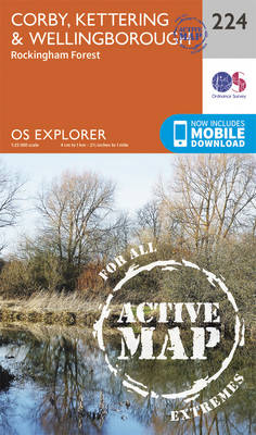
Corby, Kettering, Wellingborough and Rockingham Forest area on a detailed topographic and GPS compatible map No. 224, waterproof version, from the Ordnance Survey’s 1:25,000 Explorer series. MOBILE DOWNLOADS: this title and all the other OS Explorer maps include a code for downloading after purchase the digital version onto your smartphone or tablet for viewing on
Bedford & St Neots – Sandy & Biggleswade OS Explorer Active Map 208 (waterproof)

Bedford, St Neots, Sandy and Biggleswade area on a detailed topographic and GPS compatible map No. 208, waterproof version, from the Ordnance Survey’s 1:25,000 Explorer series. MOBILE DOWNLOADS: this title and all the other OS Explorer maps include a code for downloading after purchase the digital version onto your smartphone or tablet for viewing on
Huntingdon & St Ives – Grafham Water OS Explorer Active Map 225 (waterproof)
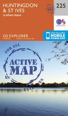
Huntingdon, St Ives and Grafham Water area on a detailed topographic and GPS compatible map No. 225, waterproof version, from the Ordnance Survey’s 1:25,000 Explorer series. MOBILE DOWNLOADS: this title and all the other OS Explorer maps include a code for downloading after purchase the digital version onto your smartphone or tablet for viewing on
Cambridge – Royston, Duxford & Linton OS Explorer Active Map 209 (waterproof)

Cambridge, Royston, Duxford and Linton area on a detailed topographic and GPS compatible map No. 209, waterproof version, from the Ordnance Survey’s 1:25,000 Explorer series.MOBILE DOWNLOADS: this title and all the other OS Explorer maps include a code for downloading after purchase the digital version onto your smartphone or tablet for viewing on the OS
Ely & Newmarket – Mildenhall & Soham OS Explorer Active Map 226 (waterproof)

Ely, Newmarket, Mildenhall and Soham area on a detailed topographic and GPS compatible map No. 226, waterproof version, from the Ordnance Survey’s 1:25,000 Explorer series. MOBILE DOWNLOADS: this title and all the other OS Explorer maps include a code for downloading after purchase the digital version onto your smartphone or tablet for viewing on the
Newmarket & Haverhill – Barrow, Clare & Kedington OS Explorer Active Map 210 (waterproof)

Newmarket, Haverhill, Barrow, Clare and Kedington area on a detailed topographic and GPS compatible map No. 210, waterproof version, from the Ordnance Survey’s 1:25,000 Explorer series.MOBILE DOWNLOADS: this title and all the other OS Explorer maps include a code for downloading after purchase the digital version onto your smartphone or tablet for viewing on the
Bury St Edmunds & Stowmarket – Debenham & Elmswell OS Explorer Active Map 211 (waterproof)

Bury St Edmunds, Stowmarket, Debenham and Elmswell area on a detailed topographic and GPS compatible map No. 211, waterproof version, from the Ordnance Survey’s 1:25,000 Explorer series. MOBILE DOWNLOADS: this title and all the other OS Explorer maps include a code for downloading after purchase the digital version onto your smartphone or tablet for viewing
Woodbridge & Saxmundham – Aldeburgh & Framlingham OS Explorer Active Map 212 (waterproof)
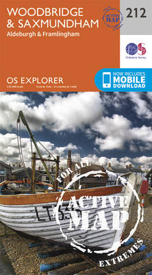
Woodbridge, Saxmundham, Aldeburgh and Framlingham area on a detailed topographic and GPS compatible map No. 212, waterproof version, from the Ordnance Survey’s 1:25,000 Explorer series. MOBILE DOWNLOADS: this title and all the other OS Explorer maps include a code for downloading after purchase the digital version onto your smartphone or tablet for viewing on the
Aberystwyth & Cwm Rheidol – Devil`s Bridge OS Explorer Active Map 213 (waterproof)
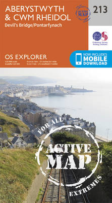
Aberystwyth, Cwm Rheidol and Devil`s Bridge area on a detailed topographic and GPS compatible map No. 213, waterproof version, from the Ordnance Survey’s 1:25,000 Explorer series.MOBILE DOWNLOADS: this title and all the other OS Explorer maps include a code for downloading after purchase the digital version onto your smartphone or tablet for viewing on the
Llanidloes & Newtown – Llyn Clywedog OS Explorer Active Map 214 (waterproof)
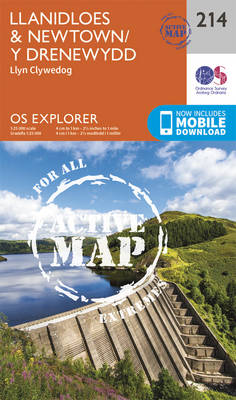
Llanidloes, Newtown and Llyn Clywedog area on a detailed topographic and GPS compatible map No. 214, waterproof version, from the Ordnance Survey’s 1:25,000 Explorer series.MOBILE DOWNLOADS: this title and all the other OS Explorer maps include a code for downloading after purchase the digital version onto your smartphone or tablet for viewing on the OS