Category Archives: Maps
Norfolk Coast East – Cromer & North Walsham OS Explorer Active Map 252 (waterproof)
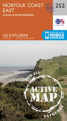
Norfolk Coast East, Cromer and North Walsham area on a detailed topographic and GPS compatible map No. 252, waterproof version, from the Ordnance Survey’s 1:25,000 Explorer series. MOBILE DOWNLOADS: this title and all the other OS Explorer maps include a code for downloading after purchase the digital version onto your smartphone or tablet for viewing
Lleyn Peninsula West – Pwllheli, Abersoch & Aberdaron OS Explorer Active Map 253 (waterproof)
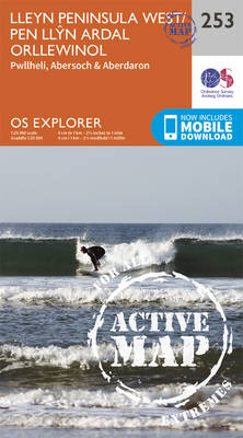
Lleyn Peninsula West, Pwllheli, Abersoch and Aberdaron area on a detailed topographic and GPS compatible map No. 253, waterproof version, from the Ordnance Survey’s 1:25,000 Explorer series. MOBILE DOWNLOADS: this title and all the other OS Explorer maps include a code for downloading after purchase the digital version onto your smartphone or tablet for viewing
Lleyn Peninsula East – Porthmadog, Criccieth & Pwllheli OS Explorer Active Map 254 (waterproof)

Lleyn Peninsula East, Porthmadog, Criccieth and Pwllheli area on a detailed topographic and GPS compatible map No. 254, waterproof version, from the Ordnance Survey’s 1:25,000 Explorer series.MOBILE DOWNLOADS: this title and all the other OS Explorer maps include a code for downloading after purchase the digital version onto your smartphone or tablet for viewing on
Llangollen & Berwyn – Ceiriog Valley OS Explorer Active Map 255 (waterproof)
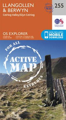
Llangollen, Berwyn and Ceiriog Valley area on a detailed topographic and GPS compatible map No. 255, waterproof version, from the Ordnance Survey’s 1:25,000 Explorer series. MOBILE DOWNLOADS: this title and all the other OS Explorer maps include a code for downloading after purchase the digital version onto your smartphone or tablet for viewing on the
Wrexham & Llangollen OS Explorer Active Map 256 (waterproof)
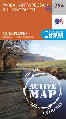
Wrexham and Llangollen area on a detailed topographic and GPS compatible map No. 256, waterproof version, from the Ordnance Survey’s 1:25,000 Explorer series. MOBILE DOWNLOADS: this title and all the other OS Explorer maps include a code for downloading after purchase the digital version onto your smartphone or tablet for viewing on the OS smartphone
Crewe & Nantwich – Whitchurch & Tattenhall OS Explorer Active Map 257 (waterproof)
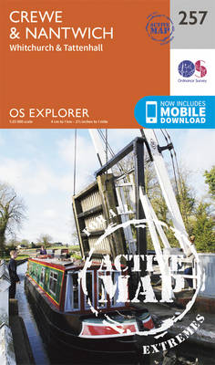
Crewe, Nantwich, Whitchurch and Tattenhall area on a detailed topographic and GPS compatible map No. 257, waterproof version, from the Ordnance Survey’s 1:25,000 Explorer series. MOBILE DOWNLOADS: this title and all the other OS Explorer maps include a code for downloading after purchase the digital version onto your smartphone or tablet for viewing on the
Stoke-on-Trent & Newcastle-under-Lyme – Biddulph & Stone OS Explorer Active Map 258 (waterproof)
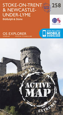
Stoke-on-Trent, Newcastle-under-Lyme, Biddulph and Stone area on a detailed topographic and GPS compatible map No. 258, waterproof version, from the Ordnance Survey’s 1:25,000 Explorer series.MOBILE DOWNLOADS: this title and all the other OS Explorer maps include a code for downloading after purchase the digital version onto your smartphone or tablet for viewing on the OS
Derby – Uttoxeter, Ashbourne & Cheadle OS Explorer Active Map 259 (waterproof)

Derby, Uttoxeter, Ashbourne and Cheadle area on a detailed topographic and GPS compatible map No. 259, waterproof version, from the Ordnance Survey’s 1:25,000 Explorer series.MOBILE DOWNLOADS: this title and all the other OS Explorer maps include a code for downloading after purchase the digital version onto your smartphone or tablet for viewing on the OS
Nottingham – Vale of Belvoir OS Explorer Active Map 260 (waterproof)

Nottingham and the Vale of Belvoir area on a detailed topographic and GPS compatible map No. 260, waterproof version, from the Ordnance Survey’s 1:25,000 Explorer series.MOBILE DOWNLOADS: this title and all the other OS Explorer maps include a code for downloading after purchase the digital version onto your smartphone or tablet for viewing on the
March & Ely – Chatteris, Littleport, Welney & Denver Sluice OS Explorer Acrive Map 228 (waterproof)

March, Ely, Chatteris, Littleport, Welney and Denver Sluice area on a detailed topographic and GPS compatible map No. 228, waterproof version, from the Ordnance Survey’s 1:25,000 Explorer series.MOBILE DOWNLOADS: this title and all the other OS Explorer maps include a code for downloading after purchase the digital version onto your smartphone or tablet for viewing
Cannock Chase & Chasewater – Stafford, Rugeley & Cannock OS Explorer Active Map 244 (waterproof)
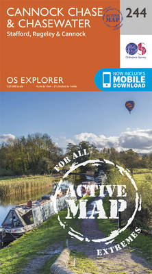
Cannock Chase, Chasewater, Stafford, Rugeley and Cannock area on a detailed topographic and GPS compatible map No. 244, waterproof version, from the Ordnance Survey’s 1:25,000 Explorer series.MOBILE DOWNLOADS: this title and all the other OS Explorer maps include a code for downloading after purchase the digital version onto your smartphone or tablet for viewing on
Thetford Forest in the Brecks – Thetford & Brandon OS Explorer Active Map 229 (waterproof)
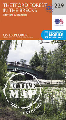
Thetford Forest in the Brecks, Thetford and Brandon area on a detailed topographic and GPS compatible map No. 229, waterproof version, from the Ordnance Survey’s 1:25,000 Explorer series. MOBILE DOWNLOADS: this title and all the other OS Explorer maps include a code for downloading after purchase the digital version onto your smartphone or tablet for
Loughborough – Melton Mowbray & Syston OS Explorer Active Map 246 (waterproof)
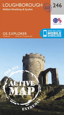
Loughborough, Melton Mowbray and Syston area on a detailed topographic and GPS compatible map No. 246, waterproof version, from the Ordnance Survey’s 1:25,000 Explorer series. MOBILE DOWNLOADS: this title and all the other OS Explorer maps include a code for downloading after purchase the digital version onto your smartphone or tablet for viewing on the
Diss & Harleston – East Harling & Stanton OS Explorer Active Map 230 (waterproof)

Diss, Harleston, East Harling and Stanton area on a detailed topographic and GPS compatible map No. 230, waterproof version, from the Ordnance Survey’s 1:25,000 Explorer series. MOBILE DOWNLOADS: this title and all the other OS Explorer maps include a code for downloading after purchase the digital version onto your smartphone or tablet for viewing on
Grantham – Bottesford & Colsterworth OS Explorer Active Map 247 (waterproof)
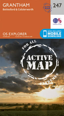
Grantham, Bottesford and Colsterworth area on a detailed topographic and GPS compatible map No. 247, waterproof version, from the Ordnance Survey’s 1:25,000 Explorer series. MOBILE DOWNLOADS: this title and all the other OS Explorer maps include a code for downloading after purchase the digital version onto your smartphone or tablet for viewing on the OS
Southwold & Bungay – Halesworth & Kessingland OS Explorer Active Map 231 (waterproof)
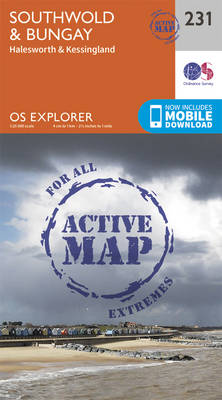
Southwold, Bungay, Halesworth and Kessingland area on a detailed topographic and GPS compatible map No. 231, waterproof version, from the Ordnance Survey’s 1:25,000 Explorer series.MOBILE DOWNLOADS: this title and all the other OS Explorer maps include a code for downloading after purchase the digital version onto your smartphone or tablet for viewing on the OS
Nuneaton & Tamworth – Lichfield & Atherstone OS Explorer Active Map 232 (waterproof)
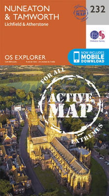
Nuneaton, Tamworth, Lichfield and Atherstone area on a detailed topographic and GPS compatible map No. 232, waterproof version, from the Ordnance Survey’s 1:25,000 Explorer series. MOBILE DOWNLOADS: this title and all the other OS Explorer maps include a code for downloading after purchase the digital version onto your smartphone or tablet for viewing on the
Leicester & Hinckley OS Explorer Active Map 233 (waterproof)

Leicester and Hinckley area on a detailed topographic and GPS compatible map No. 233, waterproof version, from the Ordnance Survey’s 1:25,000 Explorer series. MOBILE DOWNLOADS: this title and all the other OS Explorer maps include a code for downloading after purchase the digital version onto your smartphone or tablet for viewing on the OS smartphone
Rutland Water – Stamford & Oakham OS Explorer Active Map 234 (waterproof)

Rutland Water, Stamford and Oakham area on a detailed topographic and GPS compatible map No. 234, waterproof version, from the Ordnance Survey’s 1:25,000 Explorer series. MOBILE DOWNLOADS: this title and all the other OS Explorer maps include a code for downloading after purchase the digital version onto your smartphone or tablet for viewing on the
Wisbech & Peterborough North – Market Deeping & Crowland OS Explorer Active Map 235 (waterproof)
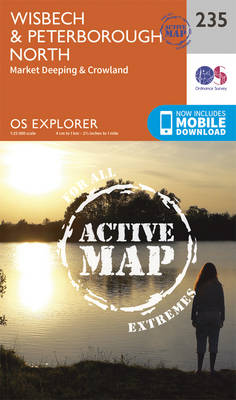
Wisbech, Peterborough North, Market Deeping and Crowland area on a detailed topographic and GPS compatible map No. 235, waterproof version, from the Ordnance Survey’s 1:25,000 Explorer series. MOBILE DOWNLOADS: this title and all the other OS Explorer maps include a code for downloading after purchase the digital version onto your smartphone or tablet for viewing