Category Archives: Maps
Lincoln – Sleaford, Metheringham & Navenby OS Explorer Active Map 272 (waterproof)

Lincoln, Sleaford, Metheringham and Navenby area on a detailed topographic and GPS compatible map No. 272, waterproof version, from the Ordnance Survey’s 1:25,000 Explorer series. MOBILE DOWNLOADS: this title and all the other OS Explorer maps include a code for downloading after purchase the digital version onto your smartphone or tablet for viewing on the
Lincolnshire Wolds South – Horncastle & Woodhall Spa OS Explorer Active Map 273 (waterproof)

Lincolnshire Wolds South, Horncastle and Woodhall Spa area on a detailed topographic and GPS compatible map No. 273, waterproof version, from the Ordnance Survey’s 1:25,000 Explorer series. MOBILE DOWNLOADS: this title and all the other OS Explorer maps include a code for downloading after purchase the digital version onto your smartphone or tablet for viewing
Skegness, Alford & Spilsby – Chapel St Leonards & Wainfleet All Saints OS Explorer Active Map 274 (waterproof)
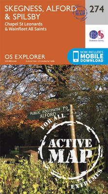
Skegness, Alford, Spilsby, Chapel St Leonards and Wainfleet All Saints area on a detailed topographic and GPS compatible map No. 274, waterproof version, from the Ordnance Survey’s 1:25,000 Explorer series. MOBILE DOWNLOADS: this title and all the other OS Explorer maps include a code for downloading after purchase the digital version onto your smartphone or
Liverpool – St Helens, Widnes & Runcorn OS Explorer Active Map 275 (waterproof)

Liverpool, St Helens, Widnes and Runcorn area on a detailed topographic and GPS compatible map No. 275, waterproof version, from the Ordnance Survey’s 1:25,000 Explorer series. MOBILE DOWNLOADS: this title and all the other OS Explorer maps include a code for downloading after purchase the digital version onto your smartphone or tablet for viewing on
Bolton, Wigan & Warrington OS Explorer Active Map 276 (waterproof)

Bolton, Wigan and Warrington area on a detailed topographic and GPS compatible map No. 276, waterproof version, from the Ordnance Survey’s 1:25,000 Explorer series. MOBILE DOWNLOADS: this title and all the other OS Explorer maps include a code for downloading after purchase the digital version onto your smartphone or tablet for viewing on the OS
Manchester & Salford – Oldham, Rochdale & Stockport OS Explorer Active Map 277 (waterproof)

Manchester, Salford, Oldham, Rochdale and Stockport area on a detailed topographic and GPS compatible map No. 277, waterproof version, from the Ordnance Survey’s 1:25,000 Explorer series. MOBILE DOWNLOADS: this title and all the other OS Explorer maps include a code for downloading after purchase the digital version onto your smartphone or tablet for viewing on
Sheffield & Barnsley – Rotherham OS Explorer Active Map 278 (waterproof)
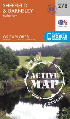
Sheffield, Barnsley and Rotherham area on a detailed topographic and GPS compatible map No. 278, waterproof version, from the Ordnance Survey’s 1:25,000 Explorer series. MOBILE DOWNLOADS: this title and all the other OS Explorer maps include a code for downloading after purchase the digital version onto your smartphone or tablet for viewing on the OS
Doncaster – Conisbrough, Maltby & Thorne OS Explorer Active Map 279 (waterproof)
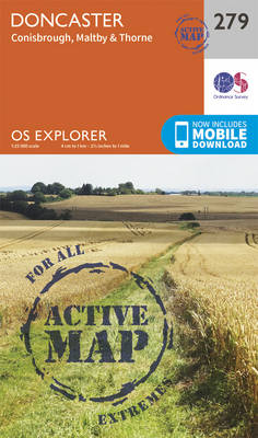
Doncaster, Conisbrough, Maltby and Thorne area on a detailed topographic and GPS compatible map No. 279, waterproof version, from the Ordnance Survey’s 1:25,000 Explorer series. MOBILE DOWNLOADS: this title and all the other OS Explorer maps include a code for downloading after purchase the digital version onto your smartphone or tablet for viewing on the
Isle of Axholme, Scunthorpe & Gainsborough OS Explorer Active Map 280 (waterproof)
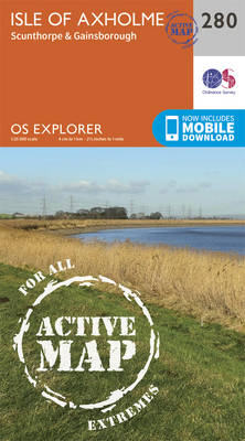
Isle of Axholme, Scunthorpe and Gainsborough area on a detailed topographic and GPS compatible map No. 280, waterproof version, from the Ordnance Survey’s 1:25,000 Explorer series.MOBILE DOWNLOADS: this title and all the other OS Explorer maps include a code for downloading after purchase the digital version onto your smartphone or tablet for viewing on the
Spalding & Holbeach – Long Sutton & Kirton OS Explorer Active Map 249 (waterproof)
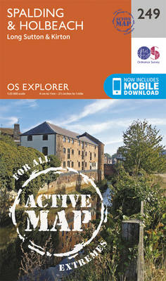
Spalding, Holbeach, Long Sutton and Kirton area on a detailed topographic and GPS compatible map No. 249, waterproof version, from the Ordnance Survey’s 1:25,000 Explorer series. MOBILE DOWNLOADS: this title and all the other OS Explorer maps include a code for downloading after purchase the digital version onto your smartphone or tablet for viewing on
Clwydian Range – Prestatyn, Mold & Ruthin OS Explorer Active Map 265 (waterproof)

Clwydian Range, Prestatyn, Mold and Ruthin area on a detailed topographic and GPS compatible map No. 265, waterproof version, from the Ordnance Survey’s 1:25,000 Explorer series. MOBILE DOWNLOADS: this title and all the other OS Explorer maps include a code for downloading after purchase the digital version onto your smartphone or tablet for viewing on
Norfolk Coast West – King`s Lynn & Hunstanton OS Explorer Active Map 250 (waterproof)
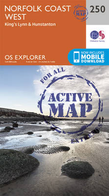
Norfolk Coast West, King`s Lynn and Hunstanton area on a detailed topographic and GPS compatible map No. 250, waterproof version, from the Ordnance Survey’s 1:25,000 Explorer series. MOBILE DOWNLOADS: this title and all the other OS Explorer maps include a code for downloading after purchase the digital version onto your smartphone or tablet for viewing
Wirral & Chester OS Explorer Active Map 266 (waterproof)

The Wirral and Chester area on a detailed topographic and GPS compatible map No. 266, waterproof version, from the Ordnance Survey’s 1:25,000 Explorer series.MOBILE DOWNLOADS: this title and all the other OS Explorer maps include a code for downloading after purchase the digital version onto your smartphone or tablet for viewing on the OS smartphone
Norfolk Coast Central – Wells-next-the-Sea & Fakenham OS Explorer Active Map 251 (waterproof)
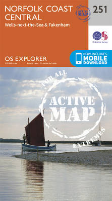
Norfolk Coast Central, Wells-next-the-Sea and Fakenham area on a detailed topographic and GPS compatible map No. 251, waterproof version, from the Ordnance Survey’s 1:25,000 Explorer series.MOBILE DOWNLOADS: this title and all the other OS Explorer maps include a code for downloading after purchase the digital version onto your smartphone or tablet for viewing on the
Northwich & Delamere – Winsford & Middlewich Forest OS Explorer Active Map 267 (waterproof)
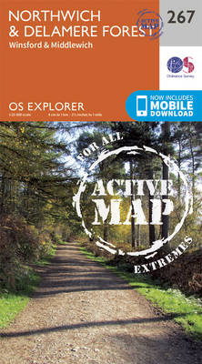
Northwich, Delamere Forest, Winsford and Middlewich area on a detailed topographic and GPS compatible map No. 267, waterproof version, from the Ordnance Survey’s 1:25,000 Explorer series.MOBILE DOWNLOADS: this title and all the other OS Explorer maps include a code for downloading after purchase the digital version onto your smartphone or tablet for viewing on the
Norfolk Coast East – Cromer & North Walsham OS Explorer Active Map 252 (waterproof)
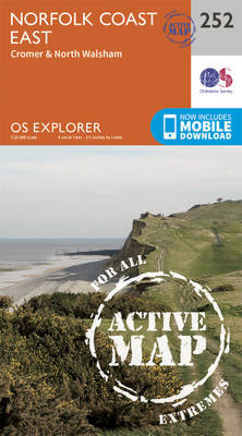
Norfolk Coast East, Cromer and North Walsham area on a detailed topographic and GPS compatible map No. 252, waterproof version, from the Ordnance Survey’s 1:25,000 Explorer series. MOBILE DOWNLOADS: this title and all the other OS Explorer maps include a code for downloading after purchase the digital version onto your smartphone or tablet for viewing
Lleyn Peninsula West – Pwllheli, Abersoch & Aberdaron OS Explorer Active Map 253 (waterproof)
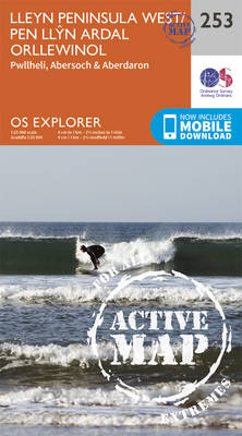
Lleyn Peninsula West, Pwllheli, Abersoch and Aberdaron area on a detailed topographic and GPS compatible map No. 253, waterproof version, from the Ordnance Survey’s 1:25,000 Explorer series. MOBILE DOWNLOADS: this title and all the other OS Explorer maps include a code for downloading after purchase the digital version onto your smartphone or tablet for viewing
Lleyn Peninsula East – Porthmadog, Criccieth & Pwllheli OS Explorer Active Map 254 (waterproof)

Lleyn Peninsula East, Porthmadog, Criccieth and Pwllheli area on a detailed topographic and GPS compatible map No. 254, waterproof version, from the Ordnance Survey’s 1:25,000 Explorer series.MOBILE DOWNLOADS: this title and all the other OS Explorer maps include a code for downloading after purchase the digital version onto your smartphone or tablet for viewing on
Llangollen & Berwyn – Ceiriog Valley OS Explorer Active Map 255 (waterproof)
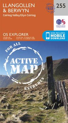
Llangollen, Berwyn and Ceiriog Valley area on a detailed topographic and GPS compatible map No. 255, waterproof version, from the Ordnance Survey’s 1:25,000 Explorer series. MOBILE DOWNLOADS: this title and all the other OS Explorer maps include a code for downloading after purchase the digital version onto your smartphone or tablet for viewing on the
Wrexham & Llangollen OS Explorer Active Map 256 (waterproof)
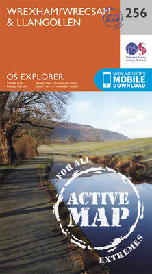
Wrexham and Llangollen area on a detailed topographic and GPS compatible map No. 256, waterproof version, from the Ordnance Survey’s 1:25,000 Explorer series. MOBILE DOWNLOADS: this title and all the other OS Explorer maps include a code for downloading after purchase the digital version onto your smartphone or tablet for viewing on the OS smartphone