Category Archives: Maps
Whitehaven & Workington – Cockermouth & Egremont OS Explorer Active Map 303 (waterproof)
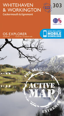
Whitehaven, Workington, Cockermouth and Egremont area on a detailed topographic and GPS compatible map No. 303, waterproof version, from the Ordnance Survey’s 1:25,000 Explorer series.MOBILE DOWNLOADS: this title and all the other OS Explorer maps include a code for downloading after purchase the digital version onto your smartphone or tablet for viewing on the OS
Bradford & Huddersfield – East Calderdale OS Explorer Map 288 (waterproof)

West Bradford, Huddersfield and East Calderdale area on a detailed topographic and GPS compatible map No. 288, waterproof version, from the Ordnance Survey’s 1:25,000 Explorer series. MOBILE DOWNLOADS: this title and all the other OS Explorer maps include a code for downloading after purchase the digital version onto your smartphone or tablet for viewing on
Darlington & Richmond – Egglescliffe & Gainford OS Explorer Active Map 304 (waterproof)
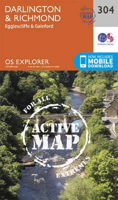
Darlington, Richmond, Egglescliffe and Gainford area on a detailed topographic and GPS compatible map No. 304, waterproof version, from the Ordnance Survey’s 1:25,000 Explorer series.MOBILE DOWNLOADS: this title and all the other OS Explorer maps include a code for downloading after purchase the digital version onto your smartphone or tablet for viewing on the OS
Leeds – Harrogate, Wetherby & Pontefract OS Explorer Active Map 289 (waterproof)
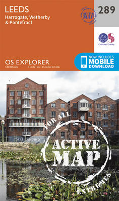
Leeds, Harrogate, Wetherby and Pontefract area on a detailed topographic and GPS compatible map No. 289, waterproof version, from the Ordnance Survey’s 1:25,000 Explorer series.MOBILE DOWNLOADS: this title and all the other OS Explorer maps include a code for downloading after purchase the digital version onto your smartphone or tablet for viewing on the OS
Bishop Auckland – Spennymoor, Newton Aycliffe, Sedgefield & Crook OS Explorer Active Map 305 (waterproof)
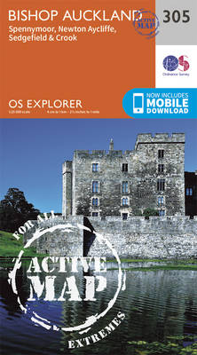
Bishop Auckland, Spennymoor, Newton Aycliffe, Sedgefield and Crook area on a detailed topographic and GPS compatible map No. 305, waterproof version, from the Ordnance Survey’s 1:25,000 Explorer series.MOBILE DOWNLOADS: this title and all the other OS Explorer maps include a code for downloading after purchase the digital version onto your smartphone or tablet for viewing
York – Selby & Tadcaster OS Explorer Active Map 290 (waterproof)
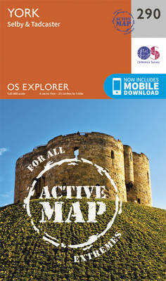
York, Selby and Tadcaster area on a detailed topographic and GPS compatible map No. 290, waterproof version, from the Ordnance Survey’s 1:25,000 Explorer series. MOBILE DOWNLOADS: this title and all the other OS Explorer maps include a code for downloading after purchase the digital version onto your smartphone or tablet for viewing on the OS
Middlesbrough & Hartlepool – Stockton-on-Tees & Redcar OS Explorer Active Map 306 (waterproof)
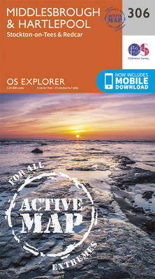
Middlesbrough, Hartlepool, Stockton-on-Tees and Redcar area on a detailed topographic and GPS compatible map No. 306, waterproof version, from the Ordnance Survey’s 1:25,000 Explorer series.MOBILE DOWNLOADS: this title and all the other OS Explorer maps include a code for downloading after purchase the digital version onto your smartphone or tablet for viewing on the OS
Goole & Gilberdyke – Holme-on-Spalding-Moor, Hemingbrough & Howden OS Explorer Active Map 291 (waterproof)
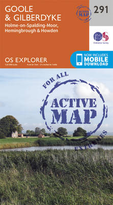
Goole, Gilberdyke, Holme-on-Spalding-Moor, Hemingbrough and Howden area on a detailed topographic and GPS compatible map No. 291, waterproof version, from the Ordnance Survey’s 1:25,000 Explorer series. MOBILE DOWNLOADS: this title and all the other OS Explorer maps include a code for downloading after purchase the digital version onto your smartphone or tablet for viewing on
Consett & Derwent Reservoir – Stanhope OS Explorer Active Map 307 (waterproof)
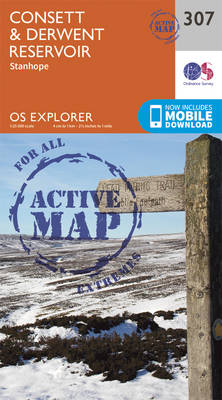
Consett, Derwent Reservoir and Stanhope area on a detailed topographic and GPS compatible map No. 307, waterproof version, from the Ordnance Survey’s 1:25,000 Explorer series. MOBILE DOWNLOADS: this title and all the other OS Explorer maps include a code for downloading after purchase the digital version onto your smartphone or tablet for viewing on the
Bolton, Wigan & Warrington OS Explorer Active Map 276 (waterproof)
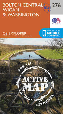
Bolton, Wigan and Warrington area on a detailed topographic and GPS compatible map No. 276, waterproof version, from the Ordnance Survey’s 1:25,000 Explorer series. MOBILE DOWNLOADS: this title and all the other OS Explorer maps include a code for downloading after purchase the digital version onto your smartphone or tablet for viewing on the OS
Manchester & Salford – Oldham, Rochdale & Stockport OS Explorer Active Map 277 (waterproof)

Manchester, Salford, Oldham, Rochdale and Stockport area on a detailed topographic and GPS compatible map No. 277, waterproof version, from the Ordnance Survey’s 1:25,000 Explorer series. MOBILE DOWNLOADS: this title and all the other OS Explorer maps include a code for downloading after purchase the digital version onto your smartphone or tablet for viewing on
Sheffield & Barnsley – Rotherham OS Explorer Active Map 278 (waterproof)
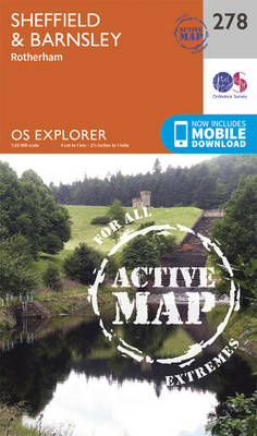
Sheffield, Barnsley and Rotherham area on a detailed topographic and GPS compatible map No. 278, waterproof version, from the Ordnance Survey’s 1:25,000 Explorer series. MOBILE DOWNLOADS: this title and all the other OS Explorer maps include a code for downloading after purchase the digital version onto your smartphone or tablet for viewing on the OS
Doncaster – Conisbrough, Maltby & Thorne OS Explorer Active Map 279 (waterproof)
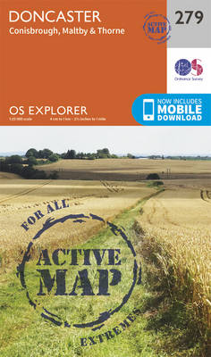
Doncaster, Conisbrough, Maltby and Thorne area on a detailed topographic and GPS compatible map No. 279, waterproof version, from the Ordnance Survey’s 1:25,000 Explorer series. MOBILE DOWNLOADS: this title and all the other OS Explorer maps include a code for downloading after purchase the digital version onto your smartphone or tablet for viewing on the
Isle of Axholme, Scunthorpe & Gainsborough OS Explorer Active Map 280 (waterproof)
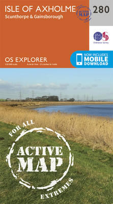
Isle of Axholme, Scunthorpe and Gainsborough area on a detailed topographic and GPS compatible map No. 280, waterproof version, from the Ordnance Survey’s 1:25,000 Explorer series.MOBILE DOWNLOADS: this title and all the other OS Explorer maps include a code for downloading after purchase the digital version onto your smartphone or tablet for viewing on the
Ancholme Valley – Barton-upon-Humber, Brigg, Scunthorpe & Kirton in Lindsey OS Explorer Active Map 281 (waterproof)
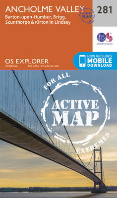
Ancholme Valley, Barton-upon-Humber, Brigg, Scunthorpe and Kirton in Lindsey area on a detailed topographic and GPS compatible map No. 281, waterproof version, from the Ordnance Survey’s 1:25,000 Explorer series.MOBILE DOWNLOADS: this title and all the other OS Explorer maps include a code for downloading after purchase the digital version onto your smartphone or tablet for
Lincolnshire Wolds North – Louth & Market Rasen OS Explorer Active Map 282 (waterproof)
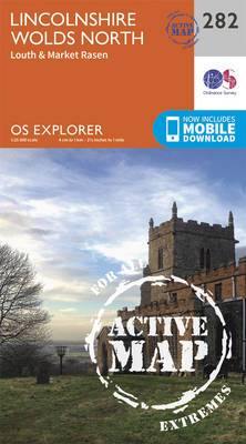
Lincolnshire Wolds North, Louth and Market Rasen area on a detailed topographic and GPS compatible map No. 282, waterproof version, from the Ordnance Survey’s 1:25,000 Explorer series. MOBILE DOWNLOADS: this title and all the other OS Explorer maps include a code for downloading after purchase the digital version onto your smartphone or tablet for viewing
Louth and Mablethorpe – Sutton on Sea & North Somercotes OS Explorer Active Map 283 (waterproof)
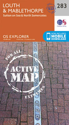
Louth, Mablethorpe, Sutton on Sea and North Somercotes area on a detailed topographic and GPS compatible map No. 283, waterproof version, from the Ordnance Survey’s 1:25,000 Explorer series. MOBILE DOWNLOADS: this title and all the other OS Explorer maps include a code for downloading after purchase the digital version onto your smartphone or tablet for
Wilmslow, Macclesfield & Congleton Altrincham, Knutsford & Sandbach OS Explorer Active Map 268 (waterproof)
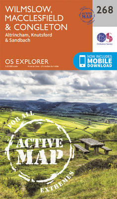
Wilmslow, Macclesfield, Congleton, Altrincham, Knutsford and Sandbach area on a detailed topographic and GPS compatible map No. 268, waterproof version, from the Ordnance Survey’s 1:25,000 Explorer series. MOBILE DOWNLOADS: this title and all the other OS Explorer maps include a code for downloading after purchase the digital version onto your smartphone or tablet for viewing
Grimsby, Cleethorpes & Immingham – Caistor & North Thoresby OS Explorer Active Map 284 (waterproof)
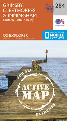
Grimsby, Cleethorpes, Immingham, Caistor and North Thoresby area on a detailed topographic and GPS compatible map No. 284, waterproof version, from the Ordnance Survey’s 1:25,000 Explorer series.MOBILE DOWNLOADS: this title and all the other OS Explorer maps include a code for downloading after purchase the digital version onto your smartphone or tablet for viewing on
Chesterfield & Alfreton – Sutton in Ashfield & Bolsover OS Explorer Active Map 269 (waterproof)
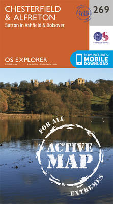
Chesterfield, Alfreton, Sutton in Ashfield and Bolsover area on a detailed topographic and GPS compatible map No. 269, waterproof version, from the Ordnance Survey’s 1:25,000 Explorer series.MOBILE DOWNLOADS: this title and all the other OS Explorer maps include a code for downloading after purchase the digital version onto your smartphone or tablet for viewing on