Category Archives: Maps
Glenluce & Kirkcowan OS Explorer Active Map 310 (waterproof)
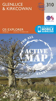
Glenluce and Kirkcowan area on a detailed topographic and GPS compatible map No. 310, waterproof version, from the Ordnance Survey’s 1:25,000 Explorer series.MOBILE DOWNLOADS: this title and all the other OS Explorer maps include a code for downloading after purchase the digital version onto your smartphone or tablet for viewing on the OS smartphone app.OS
Cumnock & Dalmellington – Mauchline & Patna OS Explorer Active Map 327 (waterproof)
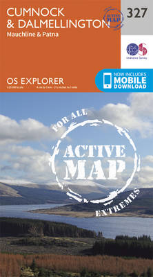
Cumnock, Dalmellington, Mauchline and Patna area on a detailed topographic and GPS compatible map No. 327, waterproof version, from the Ordnance Survey’s 1:25,000 Explorer series. MOBILE DOWNLOADS: this title and all the other OS Explorer maps include a code for downloading after purchase the digital version onto your smartphone or tablet for viewing on the
Wigtown, Whithorn & The Machars OS Explorer Active Map 311 (waterproof)
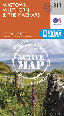
Wigtown, Whithorn and The Machars area on a detailed topographic and GPS compatible map No. 311, waterproof version, from the Ordnance Survey’s 1:25,000 Explorer series.MOBILE DOWNLOADS: this title and all the other OS Explorer maps include a code for downloading after purchase the digital version onto your smartphone or tablet for viewing on the OS
Sanquhar & New Cumnock – Muirkirk & Moniaive OS Explorer Active Map 328 (waterproof)

Sanquhar, New Cumnock, Muirkirk and Moniaive area on a detailed topographic and GPS compatible map No. 328, waterproof version, from the Ordnance Survey’s 1:25,000 Explorer series. MOBILE DOWNLOADS: this title and all the other OS Explorer maps include a code for downloading after purchase the digital version onto your smartphone or tablet for viewing on
Kirkcudbright & Castle Douglas – Gatehouse of Fleet OS Explorer Active Map 312 (waterproof)
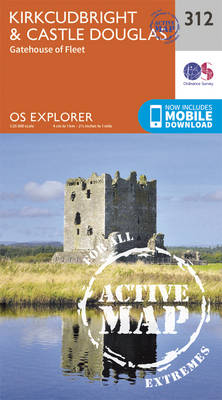
Kirkcudbright, Castle Douglas and Gatehouse of Fleet area on a detailed topographic and GPS compatible map No. 312, waterproof version, from the Ordnance Survey’s 1:25,000 Explorer series. MOBILE DOWNLOADS: this title and all the other OS Explorer maps include a code for downloading after purchase the digital version onto your smartphone or tablet for viewing
Dumfries & Dalbeattie – New Abbey & Mabie Forest OS Explorer Active Map 313 (waterproof)
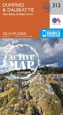
Dumfries, Dalbeattie, New Abbey and Mabie Forest area on a detailed topographic and GPS compatible map No. 313, waterproof version, from the Ordnance Survey’s 1:25,000 Explorer series. MOBILE DOWNLOADS: this title and all the other OS Explorer maps include a code for downloading after purchase the digital version onto your smartphone or tablet for viewing
Solway Firth – Wigton & Silloth OS Explorer Active Map 314 (waterproof)
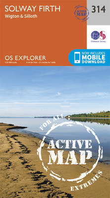
Solway Firth, Wigton and Silloth area on a detailed topographic and GPS compatible map No. 314, waterproof version, from the Ordnance Survey’s 1:25,000 Explorer series. MOBILE DOWNLOADS: this title and all the other OS Explorer maps include a code for downloading after purchase the digital version onto your smartphone or tablet for viewing on the
Carlisle – Brampton, Longtown & Gretna Green OS Explorer Active Map 315 (waterproof)
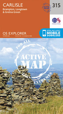
Carlisle, Brampton, Longtown and Gretna Green area on a detailed topographic and GPS compatible map No. 315, wateroroof version, from the Ordnance Survey’s 1:25,000 Explorer series. MOBILE DOWNLOADS: this title and all the other OS Explorer maps include a code for downloading after purchase the digital version onto your smartphone or tablet for viewing on
Newcastle upon Tyne – Gateshead, South Shields, Prudhoe, Ponteland, Cramlington & Whitley Bay OS Explorer Active Map 316 (waterproof)

Newcastle upon Tyne, Gateshead, South Shields, Prudhoe, Ponteland, Cramlington and Whitley Bay area on a detailed topographic and GPS compatible map No. 316, waterproof version, from the Ordnance Survey’s 1:25,000 Explorer series.MOBILE DOWNLOADS: this title and all the other OS Explorer maps include a code for downloading after purchase the digital version onto your smartphone
Scarborough, Bridlington & Flamborough Head OS Explorer Active Map 301 (waterproof)
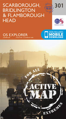
Scarborough, Bridlington and Flamborough Head area on a detailed topographic and GPS compatible map No. 301, waterproof version, from the Ordnance Survey’s 1:25,000 Explorer series. MOBILE DOWNLOADS: this title and all the other OS Explorer maps include a code for downloading after purchase the digital version onto your smartphone or tablet for viewing on the
Northallerton & Thirsk – Catterick & Bedale OS Explorer Active Map 302 (waterproof)
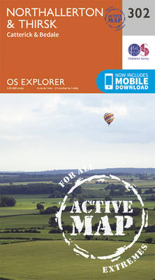
Northallerton, Thirsk, Catterick and Bedale area on a detailed topographic and GPS compatible map No. 302, waterproof version, from the Ordnance Survey’s 1:25,000 Explorer series.MOBILE DOWNLOADS: this title and all the other OS Explorer maps include a code for downloading after purchase the digital version onto your smartphone or tablet for viewing on the OS
Whitehaven & Workington – Cockermouth & Egremont OS Explorer Active Map 303 (waterproof)
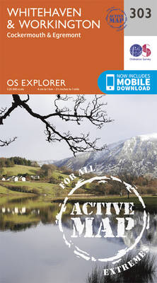
Whitehaven, Workington, Cockermouth and Egremont area on a detailed topographic and GPS compatible map No. 303, waterproof version, from the Ordnance Survey’s 1:25,000 Explorer series.MOBILE DOWNLOADS: this title and all the other OS Explorer maps include a code for downloading after purchase the digital version onto your smartphone or tablet for viewing on the OS
Bradford & Huddersfield – East Calderdale OS Explorer Map 288 (waterproof)

West Bradford, Huddersfield and East Calderdale area on a detailed topographic and GPS compatible map No. 288, waterproof version, from the Ordnance Survey’s 1:25,000 Explorer series. MOBILE DOWNLOADS: this title and all the other OS Explorer maps include a code for downloading after purchase the digital version onto your smartphone or tablet for viewing on
Darlington & Richmond – Egglescliffe & Gainford OS Explorer Active Map 304 (waterproof)
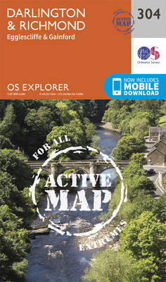
Darlington, Richmond, Egglescliffe and Gainford area on a detailed topographic and GPS compatible map No. 304, waterproof version, from the Ordnance Survey’s 1:25,000 Explorer series.MOBILE DOWNLOADS: this title and all the other OS Explorer maps include a code for downloading after purchase the digital version onto your smartphone or tablet for viewing on the OS
Leeds – Harrogate, Wetherby & Pontefract OS Explorer Active Map 289 (waterproof)
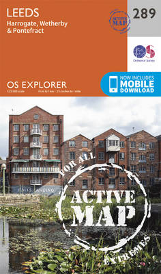
Leeds, Harrogate, Wetherby and Pontefract area on a detailed topographic and GPS compatible map No. 289, waterproof version, from the Ordnance Survey’s 1:25,000 Explorer series.MOBILE DOWNLOADS: this title and all the other OS Explorer maps include a code for downloading after purchase the digital version onto your smartphone or tablet for viewing on the OS
Bishop Auckland – Spennymoor, Newton Aycliffe, Sedgefield & Crook OS Explorer Active Map 305 (waterproof)
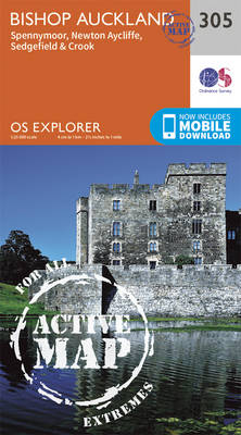
Bishop Auckland, Spennymoor, Newton Aycliffe, Sedgefield and Crook area on a detailed topographic and GPS compatible map No. 305, waterproof version, from the Ordnance Survey’s 1:25,000 Explorer series.MOBILE DOWNLOADS: this title and all the other OS Explorer maps include a code for downloading after purchase the digital version onto your smartphone or tablet for viewing
York – Selby & Tadcaster OS Explorer Active Map 290 (waterproof)
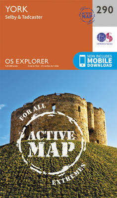
York, Selby and Tadcaster area on a detailed topographic and GPS compatible map No. 290, waterproof version, from the Ordnance Survey’s 1:25,000 Explorer series. MOBILE DOWNLOADS: this title and all the other OS Explorer maps include a code for downloading after purchase the digital version onto your smartphone or tablet for viewing on the OS
Middlesbrough & Hartlepool – Stockton-on-Tees & Redcar OS Explorer Active Map 306 (waterproof)
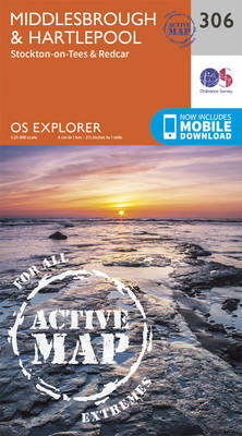
Middlesbrough, Hartlepool, Stockton-on-Tees and Redcar area on a detailed topographic and GPS compatible map No. 306, waterproof version, from the Ordnance Survey’s 1:25,000 Explorer series.MOBILE DOWNLOADS: this title and all the other OS Explorer maps include a code for downloading after purchase the digital version onto your smartphone or tablet for viewing on the OS
Goole & Gilberdyke – Holme-on-Spalding-Moor, Hemingbrough & Howden OS Explorer Active Map 291 (waterproof)
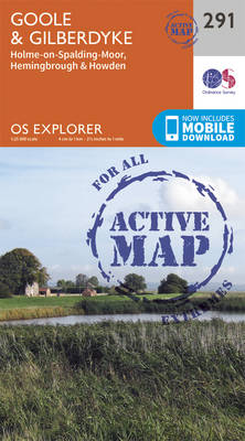
Goole, Gilberdyke, Holme-on-Spalding-Moor, Hemingbrough and Howden area on a detailed topographic and GPS compatible map No. 291, waterproof version, from the Ordnance Survey’s 1:25,000 Explorer series. MOBILE DOWNLOADS: this title and all the other OS Explorer maps include a code for downloading after purchase the digital version onto your smartphone or tablet for viewing on
Consett & Derwent Reservoir – Stanhope OS Explorer Active Map 307 (waterproof)
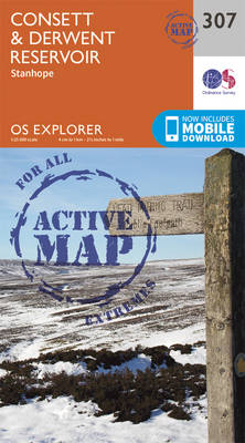
Consett, Derwent Reservoir and Stanhope area on a detailed topographic and GPS compatible map No. 307, waterproof version, from the Ordnance Survey’s 1:25,000 Explorer series. MOBILE DOWNLOADS: this title and all the other OS Explorer maps include a code for downloading after purchase the digital version onto your smartphone or tablet for viewing on the