Category Archives: Maps
Yangzi River Odyssey Map

The Yangzi River, including its Three Gorges region, on a new updated 2014 map from Odyssey Books, presenting the river and the surrounding area in a series of panels with maps at various scales, street plans and satellite images annotated with notes for visitors and spread across both sides of this title.An overview map of
Silk Road: Monks, Warriors & Merchants: 2012

To the modern reader, the Silk Road conjures up images of fabled cities and exotic lands, of long-gone empires and great conquerors. Place names such as Samarkand, Bukhara, Khotan or Chang`an continue to fascinate with the richness of their past. In this authoritative book, Luce Boulnois explores the encounter between East and West across the
Zakynthos Terrain Editions 355
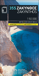
Zakynthos on a light, waterproof and tear-resistant map from Terrain Editions, combining contoured mapping of the island at 1:50,000 with a street plan of Zakynthos Town and extensive bilingual notes about the island.On one side is a map of the whole island with its topography shown by contours at 100m intervals and altitude colouring. Road
Laos & The Mekong River from Source to Sea Odyssey Map
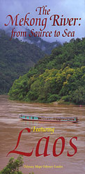
Laos – The Mekong River from Source to Sea on a double-sided map from Odyssey Books offering an interesting combination of a road map of Laos with descriptions of main sights, plus a physical map of South-East Asia with the source of the Mekong on the Tibetan Plateau.On one side is Laos shown at 1:1,470,000
Mt Athos Terrain Editions 209

Mount Athos peninsula at 1:50,000 on a contoured and GPS compatible map from Terrain Editions, printed on light, waterproof and tear-resistant synthetic paper, with an enlargement of the Karyes area at 1:10,000, a detailed plan of Karyes, plus extensive tourist information.Contours are at 100m intervals, enhanced by relief shading. Local roads, tracks and footpaths are
The Mekong River from Source to Sea Odyssey Map
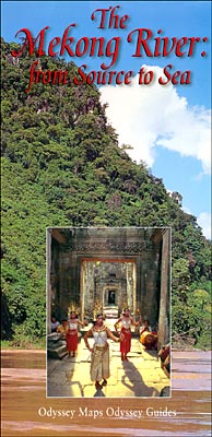
The Mekong River from Source to Sea map from Odyssey Books presenting the river accompanied by extensive descriptions of various aspects of it landscape, flora and fauna, ethnic minorities along its shores, etc, with on the reverse a wider region of South-East Asia.On one side the river is presented with its more immediate surroundings, from
Peloponnese Anavasi Road Atlas
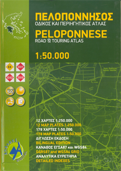
Road Atlas of the Peloponnese from Anavasi, in an A4 paperback format, with contoured, GPS compatible mapping at 1:50,000, very detailed road classification, hiking paths, and place names in both Greek and Latin alphabets.The main section of the atlas has 178 pages of detailed maps with contours at 100m intervals, altitude colouring and relief shading
Philippines Odyssey Map

Philippines on a map at 1:1,950,000 from Odyssey Guides presenting the country on one side with descriptions of its natural sites and recreational possibilities and on the reverse with historical and cultural information.On one side is a map with colouring and shading to indicate the topography. The map shows the network of main roads, principal
Greece: Attika and Central Greece Road Atlas
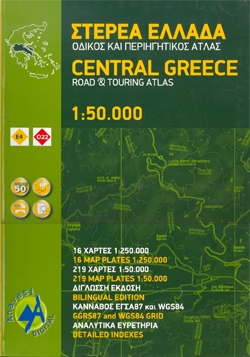
Road Atlas of Attika, the region around Athens, and Central Greece from Anavasi, in an A4 paperback format, with contoured mapping at 1:50,000, a 2km UTM grid for GPS users, very detailed road classification, hiking paths, and place names in both Greek and Latin alphabets.The main section of the atlas has 219 pages of detailed
Mandalay & Myanmar (Burma) Odyssey Map

Mandalay street plan from Odyssey Books with on the reverse a road map of Burma/Myanmar without the panhandle, both with descriptions and colour photos of places of interest highlighted on them.On one side is a street plan of Mandalay showing locations of numerous hotels, as well as markets, pagodas or zedis/stupas, and monasteries. Surrounding the
Greece Terrain Editions

Greece at 1:650,000 on a double-sided map from the Terrain Editions, printed on light, waterproof and tear-resistant synthetic paper and with a separate index booklet listing localities in both Greek and Latin alphabets and providing a distance table.The map divides the country north/south, with Athens included on both with the mainland and with the Peloponnese,
Skiathos Terrain Editions 319
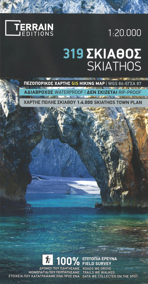
Skiathos at 1:15,000 on a contoured, GPS compatible hiking map published by Terrain Cartography group and printed on light, waterproof and tear-resistant Polyart plastic paper, with extensive tourist information.Topography is very well presented by contours, enhanced by spot heights, subtle relief shading and additional altitude colouring. Contour interval, unless indicated below to the contrary, is
Crete Terrain Editions Regional Map 7

Crete at 1:200,000 on an indexed, double-sided road map from Terrain Editions, printed on light, waterproof and tear-resistant synthetic paper, with street plans of the island’s four main towns: Iraklion, Rethymno, Chania and Aghios Nikolaos. The map divides the island east/west, with a generous overlap between the sides. All place names are in both Greek
Crete: Lasithi Prefecture 150K Terrain Editions Map
Lasithi Prefecture, the easternmost part of Crete, on a road map at 1:150,000 from the Athens-based Terrain Editions, highlighting scenic routes, campsites, archaeological remains and other places of interest. On the reverse a town centre street plan of Aghios Nikolaos.Maps in this series present Crete’s topography by satellite-based relief shading, with spot heights for selected
Crere: Heraklion Prefecture 150K Terrain Editions Map
Heraklion Prefecture of Crete on a road map at 1:150,000 from the Athens-based Terrain Editions, highlighting scenic routes, campsites, archaeological remains and other places of interest. On the reverse a town centre street plan of Heraklion/Iraklion, mainly the area within the old city walls. Coverage along the south coast includes the archaeological sites of Phaestos
Crete: Chania Prefecture 150K Terrain Editions Map
Chania Prefecture of Crete on a road map at 1:150,000 from the Athens-based Terrain Editions, highlighting scenic routes, campsites, archaeological remains and other places of interest. On the reverse a town centre street plan of Chania. Coverage includes the Gorge of Samaria and Hora Sfakion.Maps in this series present Crete’s topography by satellite-based relief shading,
Crete: Rethymno Prefecture 150K Terrain Editions Map

Rethymno Prefecture of Crete on a road map at 1:150,000 from the Athens-based Terrain Editions, highlighting scenic routes, campsites, archaeological remains and other places of interest. On the reverse a town centre street plan of Rethymno. Coverage extends west to the outskirts of Chania including the ferry port of Souda.Maps in this series present Crete’s
Serifos Terrain Editions 303
Serifos at 1:20,000 on a contoured, GPS compatible hiking map published by Terrain Cartography group together with Skai Maps, and printed on light, waterproof and tear-resistant Polyart plastic paper, with extensive tourist information.Topography is very well presented by contours, enhanced by spot heights, subtle relief shading and additional altitude colouring. Contour interval, unless indicated below
Heraklia 15K Terrain Editions Pocket Map
Greek island of Heraklia in the Cyclades just south of Naxos on a contoured and GPS compatible pocket map at 1:15,000 from Terrain Editions. On the reverse are descriptions of six hiking trails and general notes on the island’s history, sights, nature, etc, plus photos. All place names are shown in both Greek and Latin


