Category Archives: Maps
Isle of Mull East – Craignure OS Explorer Active Map 375 (waterproof)
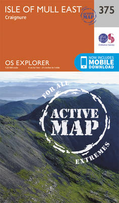
The eastern part of Mull with Craignure on a detailed topographic and GPS compatible map No. 375, waterproof version, from the Ordnance Survey’s 1:25,000 Explorer series. MOBILE DOWNLOADS: this title and all the other OS Explorer maps include a code for downloading after purchase the digital version onto your smartphone or tablet for viewing on
Jura & Scarba OS Explorer Active Map 355 (waterproof)
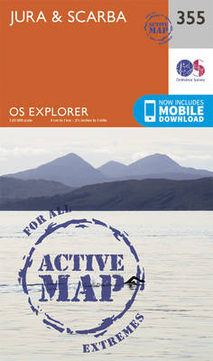
The islands of Jura and Scarba on a detailed topographic and GPS compatible map No. 355, waterproof version, from the Ordnance Survey’s 1:25,000 Explorer series. MOBILE DOWNLOADS: this title and all the other OS Explorer maps include a code for downloading after purchase the digital version onto your smartphone or tablet for viewing on the
Kintyre South – Campbeltown OS Explorer Active Map 356 (waterproof)
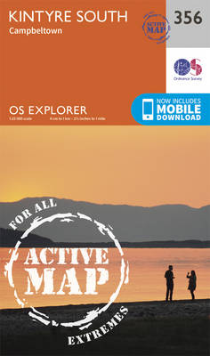
South Kintyre with Campbeltown on a detailed topographic and GPS compatible map No. 356, waterproof version, from the Ordnance Survey’s 1:25,000 Explorer series. MOBILE DOWNLOADS: this title and all the other OS Explorer maps include a code for downloading after purchase the digital version onto your smartphone or tablet for viewing on the OS smartphone
Kintyre North – Knapdale South, Tarbert & Isle of Gigha OS Explorer Active Map 357 (waterproof)
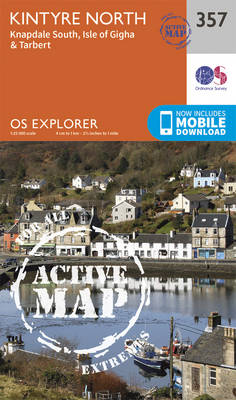
North Kintyre, South Knapdale with Tarbert and Isle of Gigha on a detailed topographic and GPS compatible map No. 357, waterproof version, from the Ordnance Survey’s 1:25,000 Explorer series. MOBILE DOWNLOADS: this title and all the other OS Explorer maps include a code for downloading after purchase the digital version onto your smartphone or tablet
Lochgilphead & Knapdale North – Kilmartin OS Explorer Active Map 358 (waterproof)
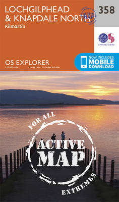
Lochgilphead, Knapdale North and Kilmartin area on a detailed topographic and GPS compatible map No. 358, waterproof version, from the Ordnance Survey’s 1:25,000 Explorer series.MOBILE DOWNLOADS: this title and all the other OS Explorer maps include a code for downloading after purchase the digital version onto your smartphone or tablet for viewing on the OS
Oban, Kerrera & Loch Melfort – The Garvellachs OS Explorer Active Map 359 (waterproof)
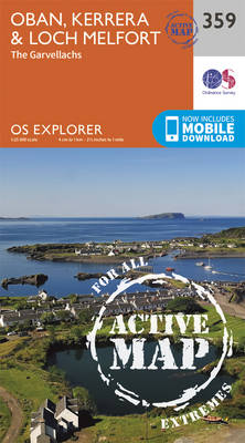
Oban, Kerrera and Loch Melfor area on a detailed topographic and GPS compatible map No. 359, waterproof version, from the Ordnance Survey’s 1:25,000 Explorer series.MOBILE DOWNLOADS: this title and all the other OS Explorer maps include a code for downloading after purchase the digital version onto your smartphone or tablet for viewing on the OS
Loch Awe & Inveraray – Dalmally, Dalavich & Furnace OS Explorer Active Map 360 (waterproof)
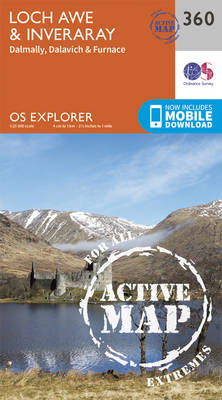
Loch Awe, Inveraray, Dalmally, Dalavich and Furnace area on a detailed topographic and GPS compatible map No. 360, waterproof version, from the Ordnance Survey’s 1:25,000 Explorer series. MOBILE DOWNLOADS: this title and all the other OS Explorer maps include a code for downloading after purchase the digital version onto your smartphone or tablet for viewing
Cowal West & Isle of Bute – Rothesay OS Explorer Active Map 362 (waterproof)

West Cowal and the Isle of Bute on a detailed topographic and GPS compatible map No. 362, waterproof version, from the Ordnance Survey’s 1:25,000 Explorer series. MOBILE DOWNLOADS: this title and all the other OS Explorer maps include a code for downloading after purchase the digital version onto your smartphone or tablet for viewing on
Stirling & Ochil Hills West – Alloa & Dunblane OS Explorer Active Map 366 (waterproof)
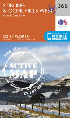
Stirling, Ochil Hills West, Alloa and Dunblane area on a detailed topographic and GPS compatible map No. 366, waterproof version, from the Ordnance Survey’s 1:25,000 Explorer series.MOBILE DOWNLOADS: this title and all the other OS Explorer maps include a code for downloading after purchase the digital version onto your smartphone or tablet for viewing on
Lowther Hills, Sanquhar & Leadhills – Wanlockhead & Crawford OS Explorer Active Map 329 (waterproof)
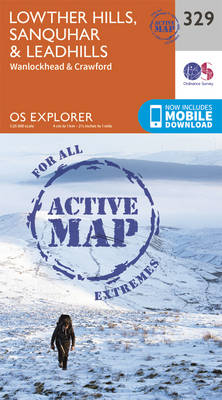
Lowther Hills, Sanquhar, Leadhills, Wanlockhead and Crawford area on a detailed topographic and GPS compatible map No. 329, waterproof version, from the Ordnance Survey’s 1:25,000 Explorer series. MOBILE DOWNLOADS: this title and all the other OS Explorer maps include a code for downloading after purchase the digital version onto your smartphone or tablet for viewing
Berwick-upon-Tweed – Eyemouth, Duns, St Abb`s Head & Cockburnspath OS Explorer Active Map 346 (waterproof)
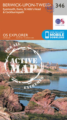
Berwick-upon-Tweed, Eyemouth, Duns, St Abb`s Head and Cockburnspath area on a detailed topographic and GPS compatible map No. 346, waterproof version, from the Ordnance Survey’s 1:25,000 Explorer series. MOBILE DOWNLOADS: this title and all the other OS Explorer maps include a code for downloading after purchase the digital version onto your smartphone or tablet for
Moffat & St Mary`s Loch – Megget Reservoir OS Explorer Active Map 330 (waterproof)
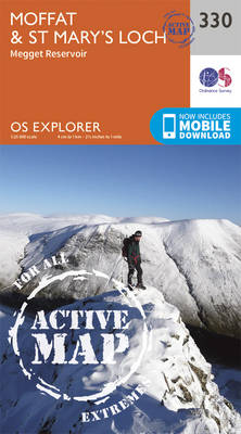
Moffat, St Mary`s Loch and Megget Reservoir area on a detailed topographic and GPS compatible map No. 330, waterproof version, from the Ordnance Survey’s 1:25,000 Explorer series. MOBILE DOWNLOADS: this title and all the other OS Explorer maps include a code for downloading after purchase the digital version onto your smartphone or tablet for viewing
Campsie Fells – Kilsyth, Strathblane & Fintry OS Explorer Active Map 348 (waterproof)
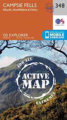
Campsie Fells, Kilsyth, Strathblane and Fintry area on a detailed topographic and GPS compatible map No. 348, waterproof version, from the Ordnance Survey’s 1:25,000 Explorer series.MOBILE DOWNLOADS: this title and all the other OS Explorer maps include a code for downloading after purchase the digital version onto your smartphone or tablet for viewing on the
Teviotdale South – Hawick OS Explorer Active Map 331 (waterproof)
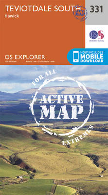
Teviotdale South – Hawick area on a detailed topographic and GPS compatible map No. 331, waterproof version, from the Ordnance Survey’s 1:25,000 Explorer series. MOBILE DOWNLOADS: this title and all the other OS Explorer maps include a code for downloading after purchase the digital version onto your smartphone or tablet for viewing on the OS
Falkirk, Cumbernauld & Livingston – Linlithgow, Bathgate & Kilsyth OS Explorer 349 (waterproof)
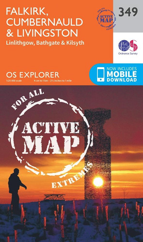
Falkirk, Cumbernauld, Livingstone, Linlithgow, Bathgate and Kilsyth area on a detailed topographic and GPS compatible map No. 349, waterproofr version, from the Ordnance Survey’s 1:25,000 Explorer series.MOBILE DOWNLOADS: this title and all the other OS Explorer maps include a code for downloading after purchase the digital version onto your smartphone or tablet for viewing on
Alnwick & Amble – Craster & Whittingham OS Explorer Active Map 332 (waterproof)

Alnwick, Amble, Craster and Whittingham area on a detailed topographic and GPS compatible map No. 332, waterproof version, from the Ordnance Survey’s 1:25,000 Explorer series. MOBILE DOWNLOADS: this title and all the other OS Explorer maps include a code for downloading after purchase the digital version onto your smartphone or tablet for viewing on the
Edinburgh – Musselburgh & Queensferry OS Explorer Active Map 350 (waterproof)
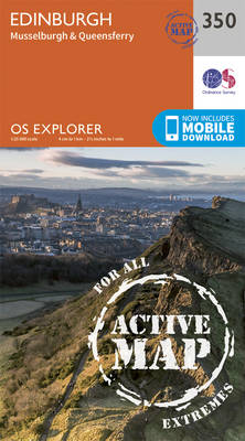
Edinburgh, Musselburgh and Queensferry area on a detailed topographic and GPS compatible map No. 350, waterproof version, from the Ordnance Survey’s 1:25,000 Explorer series.MOBILE DOWNLOADS: this title and all the other OS Explorer maps include a code for downloading after purchase the digital version onto your smartphone or tablet for viewing on the OS smartphone
Kilmarnock & Irvine – Stewarton & Beith OS Explorer Active Map 333 (waterproof)

Kilmarnock, Irvine, Stewarton and Beith area on a detailed topographic and GPS compatible map No. 333, waterproof version, from the Ordnance Survey’s 1:25,000 Explorer series. MOBILE DOWNLOADS: this title and all the other OS Explorer maps include a code for downloading after purchase the digital version onto your smartphone or tablet for viewing on the
East Kilbride, Galston & Darvel – Loudoun Hill & Whitelee Forest OS Explorer Active Map 334 (waterproof)
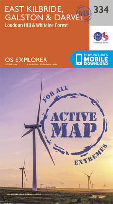
East Kilbride, Galston, Darvel, Loudoun Hill and Whitelee Forest area on a detailed topographic and GPS compatible map No. 334,waterproof version, from the Ordnance Survey’s 1:25,000 Explorer series.MOBILE DOWNLOADS: this title and all the other OS Explorer maps include a code for downloading after purchase the digital version onto your smartphone or tablet for viewing
Lanark & Tinto Hills – Lesmahagow & Douglas OS Explorer Active Map 335 (waterproof)
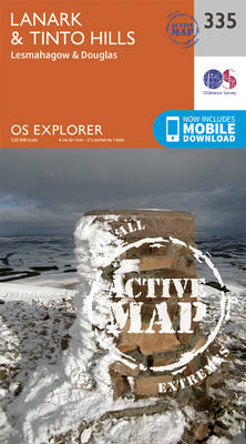
Lanark, Tinto Hills, Lesmahagow and Douglas area on a detailed topographic and GPS compatible map No. 335, waterproof version, from the Ordnance Survey’s 1:25,000 Explorer series.MOBILE DOWNLOADS: this title and all the other OS Explorer maps include a code for downloading after purchase the digital version onto your smartphone or tablet for viewing on the