Category Archives: Maps
Loch Arkaig – Fort William, Corpach, Gairlochy, Achnacarry & Kingie OS Explorer Active Map 399 (waterproof)
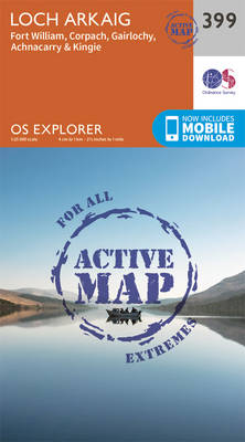
Loch Arkaig, Fort William, Corpach, Gairlochy, Achnacarry and Kingie area on a detailed topographic and GPS compatible map No. 399, waterproof version, from the Ordnance Survey’s 1:25,000 Explorer series.MOBILE DOWNLOADS: this title and all the other OS Explorer maps include a code for downloading after purchase the digital version onto your smartphone or tablet for
Loch Etive & Glen Orchy – Dalmally, Tyndrum, Bridge of Orchy & Taynuilt OS Explorer Active Map 377 (waterproof)
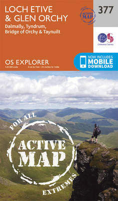
Loch Etive, Glen Orchy, Dalmally, Tyndrum, Bridge of Orchy and Taynuilt area on a detailed topographic and GPS compatible map No. 377, waterproof version, from the Ordnance Survey’s 1:25,000 Explorer series.MOBILE DOWNLOADS: this title and all the other OS Explorer maps include a code for downloading after purchase the digital version onto your smartphone or
Loch Lochy & Glen Roy – Spean Bridge, Invergarry & Fort Augustus OS Explorer Active Map 400 (waterproof)
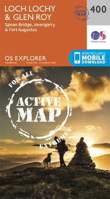
Loch Lochy, Glen Roy, Spean Bridge, Invergarry and Fort Augustus area on a detailed topographic and GPS compatible map No. 400, waterproof version, from the Ordnance Survey’s 1:25,000 Explorer series.MOBILE DOWNLOADS: this title and all the other OS Explorer maps include a code for downloading after purchase the digital version onto your smartphone or tablet
Dunkeld, Aberfeldy & Glen Almond OS Explorer Active Map 379 (waterproof)
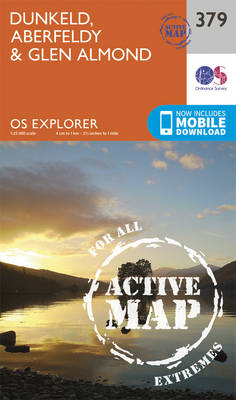
Dunkeld, Aberfeldy and Glen Almond area on a detailed topographic and GPS compatible map No. 379, waterproof version, from the Ordnance Survey’s 1:25,000 Explorer series. MOBILE DOWNLOADS: this title and all the other OS Explorer maps include a code for downloading after purchase the digital version onto your smartphone or tablet for viewing on the
Aberdeen & Banchory OS Explorer Active Map 406 (waterproof)
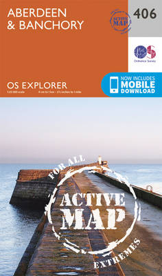
Aberdeen and Banchory area on a detailed topographic and GPS compatible map No. 406, waterproof version, from the Ordnance Survey’s 1:25,000 Explorer series.MOBILE DOWNLOADS: this title and all the other OS Explorer maps include a code for downloading after purchase the digital version onto your smartphone or tablet for viewing on the OS smartphone app.OS
Dundee & Sidlaw Hills OS Explorer Active Map 380 (waterproof)
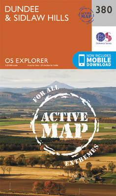
Dundee and the Sidlaw Hills area on a detailed topographic and GPS compatible map No. 380, waterproof version, from the Ordnance Survey’s 1:25,000 Explorer series. MOBILE DOWNLOADS: this title and all the other OS Explorer maps include a code for downloading after purchase the digital version onto your smartphone or tablet for viewing on the
Skye: Dunvegan – Waternish & Macleod`s Tables OS Explorer Active Map 407 (waterproof)

Skye: Dunvegan, Waternish and Macleod`s Tables area on a detailed topographic and GPS compatible map No. 407, waterproof version, from the Ordnance Survey’s 1:25,000 Explorer series.MOBILE DOWNLOADS: this title and all the other OS Explorer maps include a code for downloading after purchase the digital version onto your smartphone or tablet for viewing on the
Blairgowrie, Kirriemuir & Glamis – Strathmore West OS Explorer Active Map 381 (waterproof)
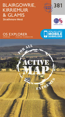
Blairgowrie, Kirriemuir, Glamis and Strathmore West area on a detailed topographic and GPS compatible map No. 381, waterproof version, from the Ordnance Survey’s 1:25,000 Explorer series.MOBILE DOWNLOADS: this title and all the other OS Explorer maps include a code for downloading after purchase the digital version onto your smartphone or tablet for viewing on the
Arbroath, Montrose & Carnoustie – Laurencekirk OS Explorer Active Map 382 (waterproof)
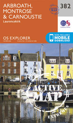
Arbroath, Montrose, Carnoustie and Laurencekirk area on a detailed topographic and GPS compatible map No. 382, waterproof version, from the Ordnance Survey’s 1:25,000 Explorer series. MOBILE DOWNLOADS: this title and all the other OS Explorer maps include a code for downloading after purchase the digital version onto your smartphone or tablet for viewing on the
Cowal West & Isle of Bute – Rothesay OS Explorer Active Map 362 (waterproof)

West Cowal and the Isle of Bute on a detailed topographic and GPS compatible map No. 362, waterproof version, from the Ordnance Survey’s 1:25,000 Explorer series. MOBILE DOWNLOADS: this title and all the other OS Explorer maps include a code for downloading after purchase the digital version onto your smartphone or tablet for viewing on
Stirling & Ochil Hills West – Alloa & Dunblane OS Explorer Active Map 366 (waterproof)
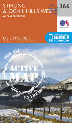
Stirling, Ochil Hills West, Alloa and Dunblane area on a detailed topographic and GPS compatible map No. 366, waterproof version, from the Ordnance Survey’s 1:25,000 Explorer series.MOBILE DOWNLOADS: this title and all the other OS Explorer maps include a code for downloading after purchase the digital version onto your smartphone or tablet for viewing on
Dunfermline, Kirkcaldy & Glenrothes South – Methil & Culross OS Explorer Active Map 367 (waterproof)
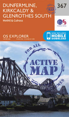
Dunfermline, Kirkcaldy, Glenrothes South, Methil and Culross area on a detailed topographic and GPS compatible map No. 367, waterproof version, from the Ordnance Survey’s 1:25,000 Explorer series. MOBILE DOWNLOADS: this title and all the other OS Explorer maps include a code for downloading after purchase the digital version onto your smartphone or tablet for viewing
Perth & Kinross – Ochil Hills East & Loch Leven OS Explorer Active Map 369 (waterproof)
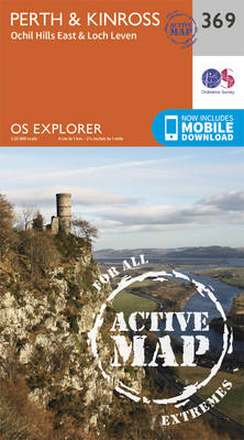
Perth, Kinross, Ochil Hills East and Loch Leven area on a detailed topographic and GPS compatible map No. 369, waterproof version, from the Ordnance Survey’s 1:25,000 Explorer series. MOBILE DOWNLOADS: this title and all the other OS Explorer maps include a code for downloading after purchase the digital version onto your smartphone or tablet for
Glenrothes North, Falkland & Lomond Hills – Auchtermuchty & Cupar OS Explorer Active Map 370 (waterproof)
Glenrothes North, Falkland, Lomond Hills, Auchtermuchty and Cupar area on a detailed topographic and GPS compatible map No. 370, waterproof version, from the Ordnance Survey’s 1:25,000 Explorer series. MOBILE DOWNLOADS: this title and all the other OS Explorer maps include a code for downloading after purchase the digital version onto your smartphone or tablet for
St Andrews & East Fife – Cupar, Anstruther & Crail OS Explorer Active Map 371 (wateroroof)
St Andrews, East Fife, Cupar, Anstruther and Crail area on a detailed topographic and GPS compatible map No. 371, waterproof version, from the Ordnance Survey’s 1:25,000 Explorer series. MOBILE DOWNLOADS: this title and all the other OS Explorer maps include a code for downloading after purchase the digital version onto your smartphone or tablet for
Dunbar & North Berwick – Musselburgh & Haddington OS Explorer Active Map 351 (waterproof)
Dunbar, North Berwick, Musselburgh and Haddington area on a detailed topographic and GPS compatible map No. 351, waterproof version, from the Ordnance Survey’s 1:25,000 Explorer series. MOBILE DOWNLOADS: this title and all the other OS Explorer maps include a code for downloading after purchase the digital version onto your smartphone or tablet for viewing on
Coll & Tiree OS Explorer Active Map 372 (waterproof)
The islands of Coll and Tiree on a detailed topographic and GPS compatible map No. 372, waterproof version, from the Ordnance Survey’s 1:25,000 Explorer series. MOBILE DOWNLOADS: this title and all the other OS Explorer maps include a code for downloading after purchase the digital version onto your smartphone or tablet for viewing on the
Islay South: Port Ellen, Bowmore & Bridgend OS Explorer Active Map 352 (waterproof)
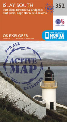
Islay South: Port Ellen, Bowmore and Bridgend area on a detailed topographic and GPS compatible map No. 352, waterproof version, from the Ordnance Survey’s 1:25,000 Explorer series.MOBILE DOWNLOADS: this title and all the other OS Explorer maps include a code for downloading after purchase the digital version onto your smartphone or tablet for viewing on
Iona, Staffa & Ross of Mull OS Explorer Active Map 373 (waterproof)
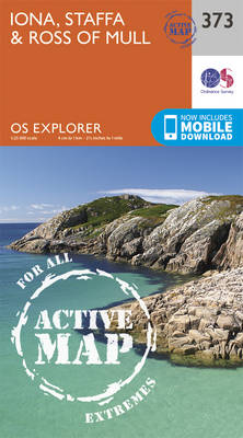
The islands of Iona and Staffa, plus the Ross of Mull on a detailed topographic and GPS compatible map No. 373, waterproof version, from the Ordnance Survey’s 1:25,000 Explorer series. MOBILE DOWNLOADS: this title and all the other OS Explorer maps include a code for downloading after purchase the digital version onto your smartphone or
Islay North – Port Askaig, Bridgend & Port Charlotte OS Explorer Active Map 353 (waterproof)
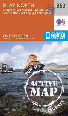
Islay North: Port Askaig, Bridgend and Port Charlotte area on a detailed topographic and GPS compatible map No. 353, waterproof version, from the Ordnance Survey’s 1:25,000 Explorer series. MOBILE DOWNLOADS: this title and all the other OS Explorer maps include a code for downloading after purchase the digital version onto your smartphone or tablet for