Category Archives: Maps
Skye: Trotternish & The Storr – Uig OS Explorer Active Map 408 (waterproof)
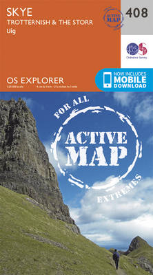
Skye: Trotternish, The Storr and Uig area on a detailed topographic and GPS compatible map No. 408, waterproof version, from the Ordnance Survey’s 1:25,000 Explorer series.MOBILE DOWNLOADS: this title and all the other OS Explorer maps include a code for downloading after purchase the digital version onto your smartphone or tablet for viewing on the
Peterhead & Fraserburgh OS Explorer Active Map 427 (waterproof)
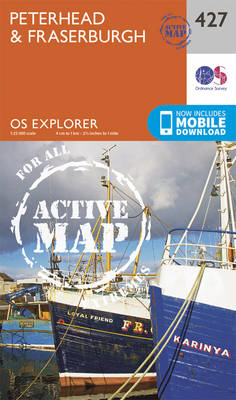
Peterhead and Fraserburgh area on a detailed topographic and GPS compatible map No. 427, waterproof version, from the Ordnance Survey’s 1:25,000 Explorer series. MOBILE DOWNLOADS: this title and all the other OS Explorer maps include a code for downloading after purchase the digital version onto your smartphone or tablet for viewing on the OS smartphone
Raasay, Rona & Scalpay OS Explorer Active Map 409 (waterproof)
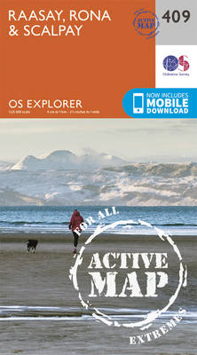
Raasay, Rona and Scalpay area on a detailed topographic and GPS compatible map No. 409, waterproof version, from the Ordnance Survey’s 1:25,000 Explorer series.MOBILE DOWNLOADS: this title and all the other OS Explorer maps include a code for downloading after purchase the digital version onto your smartphone or tablet for viewing on the OS smartphone
Kyle of Lochalsh, Plockton & Applecross OS Explorer Active Map 428 (waterproof)
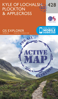
Kyle of Lochalsh, Plockton and Applecross area on a detailed topographic and GPS compatible map No. 428, waterproof version, from the Ordnance Survey’s 1:25,000 Explorer series. MOBILE DOWNLOADS: this title and all the other OS Explorer maps include a code for downloading after purchase the digital version onto your smartphone or tablet for viewing on
Skye: Portree & Bracadale OS Explorer Active Map 410 (waterproof)
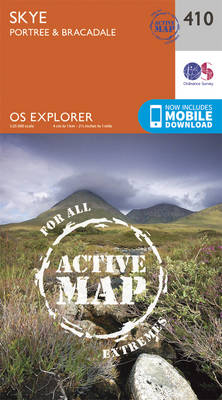
Skye: Portree and Bracadale area on a detailed topographic and GPS compatible map No. 410, waterproof version, from the Ordnance Survey’s 1:25,000 Explorer series.MOBILE DOWNLOADS: this title and all the other OS Explorer maps include a code for downloading after purchase the digital version onto your smartphone or tablet for viewing on the OS smartphone
Glen Carron & West Monar – Strathcarron OS Explorer Active Map 429 (waterproof)
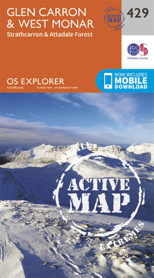
Glen Carron, West Monar and Strathcarron area on a detailed topographic and GPS compatible map No. 429,waterproof version, from the Ordnance Survey’s 1:25,000 Explorer series.MOBILE DOWNLOADS: this title and all the other OS Explorer maps include a code for downloading after purchase the digital version onto your smartphone or tablet for viewing on the OS
Skye: Cuillin Hills – Soay OS Explorer Active Map 411 (waterproof)
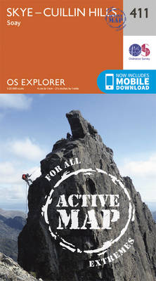
Skye: Cuillin Hills and Soay area on a detailed topographic and GPS compatible map No. 411, waterproof version, from the Ordnance Survey’s 1:25,000 Explorer series.MOBILE DOWNLOADS: this title and all the other OS Explorer maps include a code for downloading after purchase the digital version onto your smartphone or tablet for viewing on the OS
Loch Monar, Glen Cannich & Strathfarrar OS Explorer Active Map 430 (waterproof)
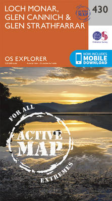
Loch Monar, Glen Cannich and Glen Strathfarrar area on a detailed topographic and GPS compatible map No. 430, waterproof version, from the Ordnance Survey’s 1:25,000 Explorer series.MOBILE DOWNLOADS: this title and all the other OS Explorer maps include a code for downloading after purchase the digital version onto your smartphone or tablet for viewing on
Skye: Sleat – Broadford, Kyleakin & Armadale OS Explorer Active Map 412 (waterproof)
Skye: Sleat, Broadford, Kyleakin and Armadale area on a detailed topographic and GPS compatible map No. 412, waterproof version, from the Ordnance Survey’s 1:25,000 Explorer series.MOBILE DOWNLOADS: this title and all the other OS Explorer maps include a code for downloading after purchase the digital version onto your smartphone or tablet for viewing on the
Forfar, Brechin & Edzell – Strathmore East OS Explorer Active Map 389 (waterproof)
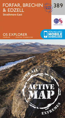
Forfar, Brechin, Edzell and Strathmore East area on a detailed topographic and GPS compatible map No. 389, waterproof version, from the Ordnance Survey’s 1:25,000 Explorer series. MOBILE DOWNLOADS: this title and all the other OS Explorer maps include a code for downloading after purchase the digital version onto your smartphone or tablet for viewing on
Ardnamurchan – Moidart, Sunart & Loch Shiel OS Explorer Active Map (waterproof)
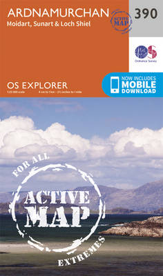
Ardnamurchan, Moidart, Sunart and Loch Shie area on a detailed topographic and GPS compatible map No. 390, waterproof version, from the Ordnance Survey’s 1:25,000 Explorer series. MOBILE DOWNLOADS: this title and all the other OS Explorer maps include a code for downloading after purchase the digital version onto your smartphone or tablet for viewing on
Ardgour & Strontian – Glenfinnan, Loch Eil & Loch Shiel OS Explorer Active Map 391 (waterproof)
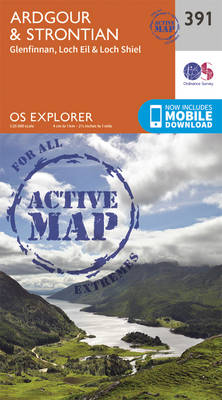
Ardgour, Strontian, Glenfinnan, Loch Eil and Loch Shiel area on a detailed topographic and GPS compatible map No. 391, waterproof version, from the Ordnance Survey’s 1:25,000 Explorer series. MOBILE DOWNLOADS: this title and all the other OS Explorer maps include a code for downloading after purchase the digital version onto your smartphone or tablet for
Ben Nevis & Fort William – The Mamores, The Grey Corries, Kinlochleven & Spean Bridge OS Explorer Active Map 392 (waterproof)
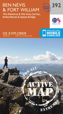
Ben Nevis and Fort William area, including The Mamores, The Grey Corries, Kinlochleven and Spean Bridge on a detailed topographic and GPS compatible map No. 392, paper version, from the Ordnance Survey’s 1:25,000 Explorer series. MOBILE DOWNLOADS: this title and all the other OS Explorer maps include a code for downloading after purchase the digital
Stonehaven, Inverbervie & Laurencekirk – Howe of the Mearns OS Explorer Active Map 396 (waterproof)
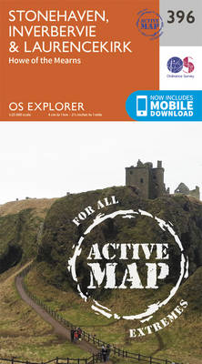
Stonehaven, Inverbervie, Laurencekirk and Howe of the Mearns area on a detailed topographic and GPS compatible map No. 396, paper version, from the Ordnance Survey’s 1:25,000 Explorer series. MOBILE DOWNLOADS: this title and all the other OS Explorer maps include a code for downloading after purchase the digital version onto your smartphone or tablet for
Rum, Eigg, Muck, Canna & Sanday OS Explorer Active Map 397 (waterproof)
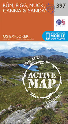
The islands of Rum, Eigg, Muck, Canna and Sanday on a detailed topographic and GPS compatible map No. 397, waterproof version, from the Ordnance Survey’s 1:25,000 Explorer series. MOBILE DOWNLOADS: this title and all the other OS Explorer maps include a code for downloading after purchase the digital version onto your smartphone or tablet for
Loch Morar & Mallaig OS Explorer Active Map 398 (waterproof)

Loch Morar and Mallaig area on a detailed topographic and GPS compatible map No. 398, waterproof version, from the Ordnance Survey’s 1:25,000 Explorer series.MOBILE DOWNLOADS: this title and all the other OS Explorer maps include a code for downloading after purchase the digital version onto your smartphone or tablet for viewing on the OS smartphone
Oban & North Lorn – Benderloch, Lismore & Loch Creran OS Explorer Active Map 376 (waterproof)
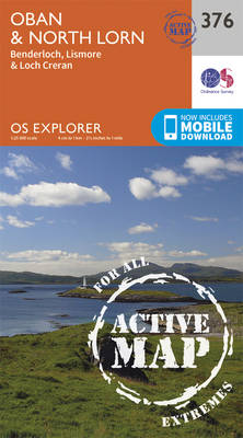
Oban, North Lorn, Benderloch, Lismore and Loch Creran area on a detailed topographic and GPS compatible map No. 376, waterproof version, from the Ordnance Survey’s 1:25,000 Explorer series. MOBILE DOWNLOADS: this title and all the other OS Explorer maps include a code for downloading after purchase the digital version onto your smartphone or tablet for
Loch Arkaig – Fort William, Corpach, Gairlochy, Achnacarry & Kingie OS Explorer Active Map 399 (waterproof)
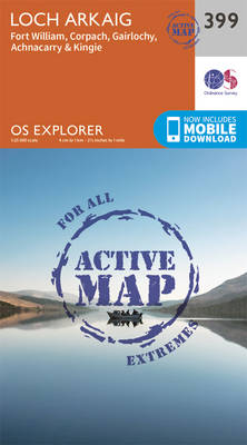
Loch Arkaig, Fort William, Corpach, Gairlochy, Achnacarry and Kingie area on a detailed topographic and GPS compatible map No. 399, waterproof version, from the Ordnance Survey’s 1:25,000 Explorer series.MOBILE DOWNLOADS: this title and all the other OS Explorer maps include a code for downloading after purchase the digital version onto your smartphone or tablet for
Loch Etive & Glen Orchy – Dalmally, Tyndrum, Bridge of Orchy & Taynuilt OS Explorer Active Map 377 (waterproof)
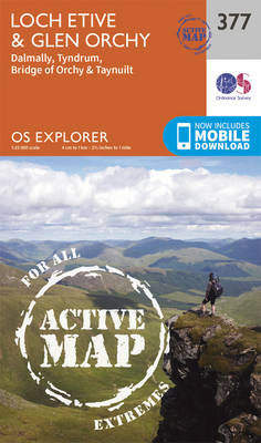
Loch Etive, Glen Orchy, Dalmally, Tyndrum, Bridge of Orchy and Taynuilt area on a detailed topographic and GPS compatible map No. 377, waterproof version, from the Ordnance Survey’s 1:25,000 Explorer series.MOBILE DOWNLOADS: this title and all the other OS Explorer maps include a code for downloading after purchase the digital version onto your smartphone or
Loch Lochy & Glen Roy – Spean Bridge, Invergarry & Fort Augustus OS Explorer Active Map 400 (waterproof)
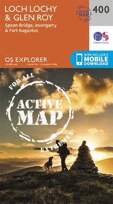
Loch Lochy, Glen Roy, Spean Bridge, Invergarry and Fort Augustus area on a detailed topographic and GPS compatible map No. 400, waterproof version, from the Ordnance Survey’s 1:25,000 Explorer series.MOBILE DOWNLOADS: this title and all the other OS Explorer maps include a code for downloading after purchase the digital version onto your smartphone or tablet