Category Archives: Maps
Shetland: Mainland Central – Lerwick, Papa Stour & Foula OS Explorer Active Map 467 (waterproof)
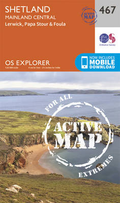
Shetland: Central Mainland with Lerwick, plus Papa Stour, Foula and the nearby smaller islands on a detailed topographic and GPS compatible map No. 467, waterproof version, from the Ordnance Survey’s 1:25,000 Explorer series.MOBILE DOWNLOADS: this title and all the other OS Explorer maps include a code for downloading after purchase the digital version onto your
Barra & Vatersay – Eriskay & Mingulay OS Explorer Active Map 452 (waterproof)
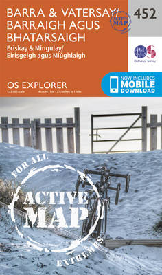
Barra, Vatersay, Eriskay, Mingulay and the surrounding smaller islands on a detailed topographic and GPS compatible map No. 452, waterproof version, from the Ordnance Survey’s 1:25,000 Explorer series. MOBILE DOWNLOADS: this title and all the other OS Explorer maps include a code for downloading after purchase the digital version onto your smartphone or tablet for
Shetland: Mainland North East – Whalsay & Out Skerries OS Explorer Active Map 468 (waterproof)
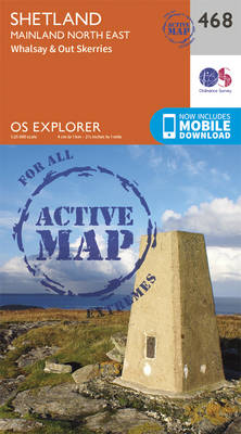
Shetland: north-east Mainland with the islands of Whalsay and Out Skerries, and the nearby smaller islands on a detailed topographic and GPS compatible map No. 468, waterproof version, from the Ordnance Survey’s 1:25,000 Explorer series.MOBILE DOWNLOADS: this title and all the other OS Explorer maps include a code for downloading after purchase the digital version
Benbecula & South Uist – Eriskay OS Explorer Active Map 453 (waterproof)

Benbecula, South Uist, Eriskay and the surrounding smaller islands on a detailed topographic and GPS compatible map No. 453, waterproof version, from the Ordnance Survey’s 1:25,000 Explorer series. MOBILE DOWNLOADS: this title and all the other OS Explorer maps include a code for downloading after purchase the digital version onto your smartphone or tablet for
Shetland: Mainland North West – North Roe & Sullom Voe OS Explorer Active Map 469 (waterproof)
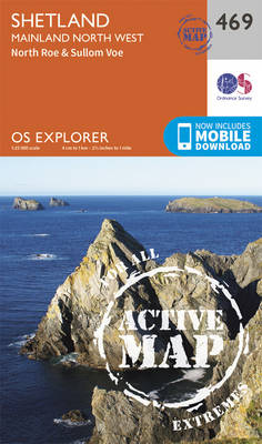
Shetland: north-west Mainland with North Roe, Sullom Voe, and the nearby smaller islands on a detailed topographic and GPS compatible map No. 469, waterproof version, from the Ordnance Survey’s 1:25,000 Explorer series.MOBILE DOWNLOADS: this title and all the other OS Explorer maps include a code for downloading after purchase the digital version onto your smartphone
North Uist & Berneray OS Explorer Active Map 454 (waterproof)
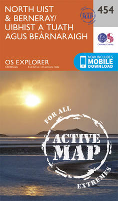
North Uist, Berneray and the surrounding smaller islands on a detailed topographic and GPS compatible map No. 454, waterproof version, from the Ordnance Survey’s 1:25,000 Explorer series. MOBILE DOWNLOADS: this title and all the other OS Explorer maps include a code for downloading after purchase the digital version onto your smartphone or tablet for viewing
Shetland: Unst, Yell & Fetlar OS Explorer Active Map 470 (waterproof)
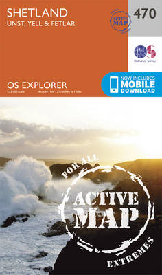
Shetland: Unst, Yell and Fetlar with the nearby smaller islands on a detailed topographic and GPS compatible map No. 470, waterproof version, from the Ordnance Survey’s 1:25,000 Explorer series. MOBILE DOWNLOADS: this title and all the other OS Explorer maps include a code for downloading after purchase the digital version onto your smartphone or tablet
South Harris – Taransay OS Explorer Active Map 455 (waterproof)
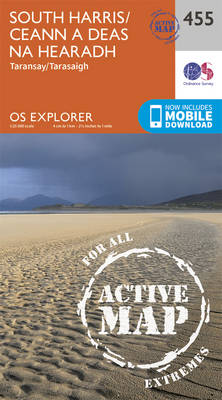
South Harris, Taransay and the surrounding smaller islands on a detailed topographic and GPS compatible map No. 455, waterproof version, from the Ordnance Survey’s 1:25,000 Explorer series. MOBILE DOWNLOADS: this title and all the other OS Explorer maps include a code for downloading after purchase the digital version onto your smartphone or tablet for viewing
North Harris & Loch Seaforth OS Explorer Active Map 456 (waterproof)
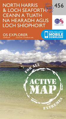
North Harris with Loch Seaforth and the surrounding smaller islands on a detailed topographic and GPS compatible map No. 456, waterproof version, from the Ordnance Survey’s 1:25,000 Explorer series. MOBILE DOWNLOADS: this title and all the other OS Explorer maps include a code for downloading after purchase the digital version onto your smartphone or tablet
Lairg, Bonar Bridge & Golspie – Dornoch & Brora OS Explorer Active Map 441 (waterproof)
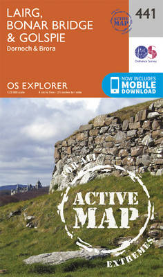
Lairg, Bonar Bridge, Golspie, Dornoch and Brora area on a detailed topographic and GPS compatible map No. 441, waterproof version, from the Ordnance Survey’s 1:25,000 Explorer series. MOBILE DOWNLOADS: this title and all the other OS Explorer maps include a code for downloading after purchase the digital version onto your smartphone or tablet for viewing
Assynt & Lochinver – Kylesku & Inchnadamph OS Explorer Active Map 442 (waterproof)

Assynt, Lochinver, Kylesku and Inchnadamph area on a detailed topographic and GPS compatible map No. 442, waterproof version, from the Ordnance Survey’s 1:25,000 Explorer series. MOBILE DOWNLOADS: this title and all the other OS Explorer maps include a code for downloading after purchase the digital version onto your smartphone or tablet for viewing on the
Ben Klibreck & Ben Armine OS Explorer Active Map 443 (waterproof)
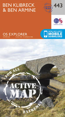
Ben Klibreck and Ben Armine area on a detailed topographic and GPS compatible map No. 443, waterproof version, from the Ordnance Survey’s 1:25,000 Explorer series.MOBILE DOWNLOADS: this title and all the other OS Explorer maps include a code for downloading after purchase the digital version onto your smartphone or tablet for viewing on the OS
Helmsdale & Strath of Kildonan OS Explorer Active Map 444 (waterproof)
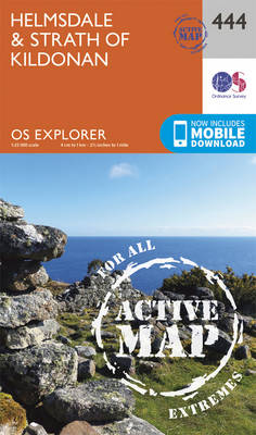
Helmsdale and Strath of Kildonan area on a detailed topographic and GPS compatible map No. 444, waterproof version, from the Ordnance Survey’s 1:25,000 Explorer series.MOBILE DOWNLOADS: this title and all the other OS Explorer maps include a code for downloading after purchase the digital version onto your smartphone or tablet for viewing on the OS
Foinaven, Arkle, Kylesku & Scourie OS Explorer Active Map 445 (waterproof)
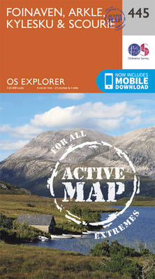
Foinaven, Arkle, Kylesku and Scourie area on a detailed topographic and GPS compatible map No. 445, waterproof version, from the Ordnance Survey’s 1:25,000 Explorer series. MOBILE DOWNLOADS: this title and all the other OS Explorer maps include a code for downloading after purchase the digital version onto your smartphone or tablet for viewing on the
Durness & Cape Wrath – Kinlochbervie & Rhiconich OS Explorer Active Map 446 (waterproof)
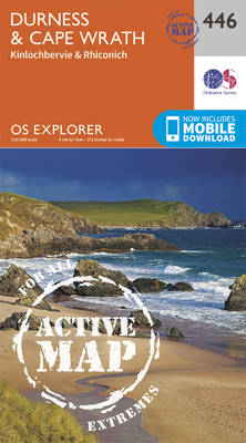
Durness, Cape Wrath, Kinlochbervie and Rhiconich area on a detailed topographic and GPS compatible map No. 446, waterproof version, from the Ordnance Survey’s 1:25,000 Explorer series.MOBILE DOWNLOADS: this title and all the other OS Explorer maps include a code for downloading after purchase the digital version onto your smartphone or tablet for viewing on the
Glen Urquhart & Strathglass – Drumnadrochit & Muir of Ord OS Explorer Active Map 431 (waterproof)
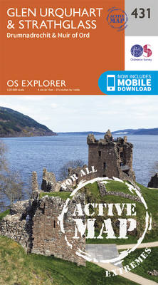
Glen Urquhart, Strathglass, Drumnadrochit and Muir of Ord area on a detailed topographic and GPS compatible map No. 431, waterproof version, from the Ordnance Survey’s 1:25,000 Explorer series. MOBILE DOWNLOADS: this title and all the other OS Explorer maps include a code for downloading after purchase the digital version onto your smartphone or tablet for
Ben Hope, Ben Loyal & Kyle of Tongue OS Explorer Active Map 447 (waterproof)

Ben Hope, Ben Loyal and Kyle of Tongue area on a detailed topographic and GPS compatible map No. 447, waterproof version, from the Ordnance Survey’s 1:25,000 Explorer series.MOBILE DOWNLOADS: this title and all the other OS Explorer maps include a code for downloading after purchase the digital version onto your smartphone or tablet for viewing
Black Isle – Fortrose, Cromarty & Dingwall OS Explorer Active Map 432 (waterproof)
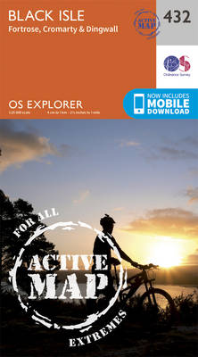
Black Isle, Fortrose, Cromarty and Dingwall area on a detailed topographic and GPS compatible map No. 432, waterproof version, from the Ordnance Survey’s 1:25,000 Explorer series. MOBILE DOWNLOADS: this title and all the other OS Explorer maps include a code for downloading after purchase the digital version onto your smartphone or tablet for viewing on
Strath Naver & Loch Loyal – Bettyhill OS Explorer Active Map 448 (waterproof)
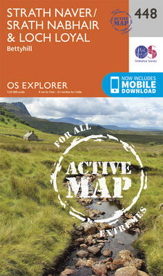
Strath Naver, Loch Loyal and Bettyhill area on a detailed topographic and GPS compatible map No. 448, waterproof version, from the Ordnance Survey’s 1:25,000 Explorer series. MOBILE DOWNLOADS: this title and all the other OS Explorer maps include a code for downloading after purchase the digital version onto your smartphone or tablet for viewing on
Torridon – Beinn Eighe & Liathach – Loch Maree, Kinlochewe & Gairloch OS Explorer Active Map 433 (waterproof)
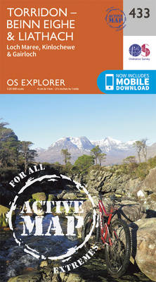
Torridon, Beinn Eighe, Liathach, Loch Maree, Kinlochewe and Gairloch area on a detailed topographic and GPS compatible map No. 433, waterproof version, from the Ordnance Survey’s 1:25,000 Explorer series. MOBILE DOWNLOADS: this title and all the other OS Explorer maps include a code for downloading after purchase the digital version onto your smartphone or tablet