Category Archives: Maps
Scythians: warriors of ancient Siberia
The Scythians were an ancient nomadic people, who lived in the Russian steppe from 900 to 400 BC. They established a rich, nomadic civilization stretching from their homeland in Siberia as far as the Black Sea and the edge of China. Mobility and mastery of local resources were central to their culture and their achievements.
Charles Booth`s London Poverty Maps
Charles Booth`s landmark survey of life in late-19th-century London, published for the first time in one volume. In the late 19th century, Charles Booth`s landmark social and economic survey found that 35% of Londoners were living in abject poverty. Between 1886 and 1903, Booth`s team of social investigators interviewed Londoners from all walks of life,
Great Cycling Climbs: The French Alps
The Alps are a place of legend for cyclists, road-racers and enthusiasts alike. Home to one of the most challenging sections of the Tour de France, the mountains offer some of Europe`s most challenging and glorious cycling climbs through Geneva, Chamonix, Annecy, Chambery, Grenoble, Le Bourg-d`Oisans and Barcelonnette. In this comprehensive guide, teacher, passionate cycling
The New Atlas of World History: Global Events at a Glance
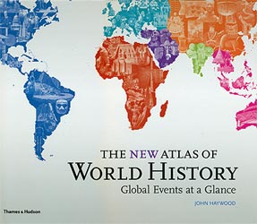
The first and only atlas to present global history in a series of uniform world-to-view maps, The New Atlas of World History tells the human story in 56 crystal-clear world maps, from six million years ago to today.The maps show the grand sweep of historical events, supplemented by thematic maps that show the origins and
The Yellow Peril: Dr Fu Manchu & the Rise of Chinaphobia
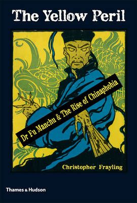
A hundred years ago, a character made his first appearance in the world of literature who was to enter the bloodstream of 20th-century popular culture: the evil genius called Dr Fu Manchu, described at the beginning of the first story in which he appeared as the yellow peril incarnate in one man. Why did the
The Greeks in Asia
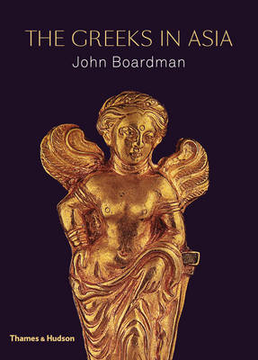
This book, by Britains most distinguished historian of ancient Greek art, recounts the influence of Greek communities and their culture through Central Asia, India and Western China, from the Bronze Age through to the rise of Islam. Boardman examines a wealth of art and artifacts as well as literary sources to reveal the remarkable influence
STRATA: William Smith`s Geological Maps
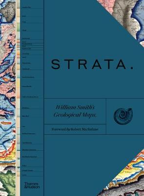
This sumptuous and comprehensive evaluation showcases Smith`s 1815 hand-coloured map, A Delineation of the Strata of England and Wales, with part of Scotland, and illustrates the story of his career, from apprentice to fossil collector and from his 1799 geological map of Bath and table of strata to his detailed stratigraphical county maps. The introduction
The City Shaped
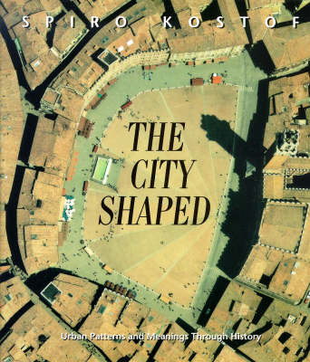
Cities are among the most enduring and remarkable of human artefacts. This study explains how and why cities took the shape they did. Professor Kostof focuses on a number of themes – organic patterns, the grid, the city as diagram, the grand manner and the skyline – and interprets the hidden order of urban patterns.
The Atlas of the Real World
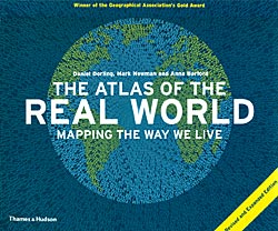
Here is our planet as you’ve never seen it before: The Atlas of the Real World combines sophisticated software with comprehensive analysis of every aspect of life to represent the world as it really is. 366 digitally modified maps – known as cartograms – depict the areas and countries of the world not by their
Japanese Illustration Now

This example-packed overview of contemporary Japanese illustration showcases the works of 100 of Japan`s most successful and exciting artists and designers. The images embrace a huge range of styles, from traditional to futuristic, from classic ukiyo-e prints to the worlds of manga and anime. Some look towards urban street culture or build their own surreal
City Cycling London
The eight guides in the City Cycling Europe series are each devoted to a different city: London, Amsterdam, Copenhagen, Antwerp/Ghent, Berlin, Paris, Barcelona and Milan. Each compact volume features cycle-friendly neighbourhoods, itineraries, cycle maps and places to visit where cyclists are always welcome. Aimed primarily at those looking to take casual weekend breaks, there is
City Cycling Paris
The eight guides in the City Cycling Europe series are each devoted to a different city: London, Amsterdam, Copenhagen, Antwerp/Ghent, Berlin, Paris, Barcelona and Milan. Each compact volume features cycle-friendly neighbourhoods, itineraries, cycle maps and places to visit where cyclists are always welcome. Aimed primarily at those looking to take casual weekend breaks, there is
Atlas of Medieval Britain
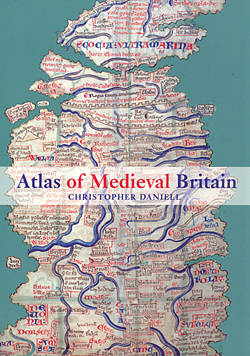
Christopher Daniell`s “Atlas of Medieval Britain” is a historical atlas illustrating the changing face of the British Isles in Medieval times. Annotated throughout with clear commentary, this volume tells the story of the British Isles, and makes visually accessible the varied and often complex world of the Middle Ages.The atlas depicts the spatial distribution of
City Cycling Copenhagen
The eight guides in the City Cycling Europe series are each devoted to a different city: London, Amsterdam, Copenhagen, Antwerp/Ghent, Berlin, Paris, Barcelona and Milan. Each compact volume features cycle-friendly neighbourhoods, itineraries, cycle maps and places to visit where cyclists are always welcome. Aimed primarily at those looking to take casual weekend breaks, there is
Liddesdale & Kershope Forest – Newcastleton & Canonbie OS Explorer 324 ACTIVE
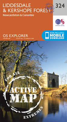
Liddesdale, Kershope Forest, Newcastleton and Canonbie area on a detailed topographic and GPS compatible map No. 324, waterproof version, from the Ordnance Survey’s 1:25,000 Explorer series.MOBILE DOWNLOADS: this title and all the other OS Explorer maps include a code for downloading after purchase the digital version onto your smartphone or tablet for viewing on the
Yorkshire Dales Southern & Western – Whernside, Ingleborough & Pen-y-ghent OS Explorer OL2 ACTIVE
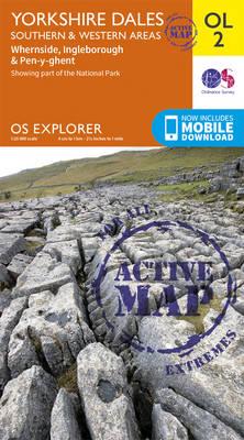
Southern and western area of the Yorkshire Dales on a detailed topographic and GPS compatible map OL2, waterproof version, from the Ordnance Survey`s 1:25,000 Explorer series. Coverage includes Wharfedale with Grassington and Hebden, the upper part of the Ribblesdale with Settle and Horton, Yorkshire’s Three Peaks area of Whernside, Ingleborough and Pen-y-ghent, The Devils Bridge
Lough Erne Activity Map
Lough Erne at 1:25,000 on a large, double-sided Activity Map from the Ordnance Survey of Northern Ireland designed with outdoor enthusiasts in mind: waterproof and tear-resistant, topographic and GPS compatible, with hiking and cycling routes and tourist information for the area. The map covers both Upper and Lower Lough Erne and the Shannon-Erne Waterway. Topographic
Caribbean Certificate Atlas
The Caribbean Certificate Atlas is a completely new atlas focusing on the most accurate and up-to-date digital mapping of all countries of the Caribbean, with special thematic maps newly designed to illustrate the economic and social character of the region. New digital world maps are incorporated from a series of internationally acclaimed Macmillan school atlases.-
She-Merchants, Buccaneers and Gentlewomen: British women in India 1600 – 1900
`Sharply observed, snappily written and thoroughly researched, She Merchants provides a fabulous panorama of a largely ignored area of social history. Katie Hickman successfully challenges the stereotype of the snobbish, matron-like memsahib by deploying a riveting gallery of powerful and often eccentric women ranging from stowaways and runaways through courtesans and society beauties to Generals`
The March Of Folly: From Troy to Vietnam
From the distinguished American historian whose work has been acclaimed around the world, a major new book that penetrates one of the most bizarre and fascinating paradoxes in history: the persistent pursuit by governments of policies contrary to their own intersts. Across the march of thirty centuries, Tuchman brings to life the dramatic events which