Category Archives: Maps
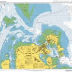
Indianapolis & Vicinity IN Regional Rand McNally
Indianapolis and Vicinity in a series of Rand McNally’s regional road maps covering the environs of main US cities. The map is centered on Indianapolis and extends north to Kokomo and West Lafayette, east to beyond Yorktown, south beyond Columbus, and westwards to Brazil and Hillsboro. Communities covered by this map include Anderson, Bloomington, Crawfordsville,
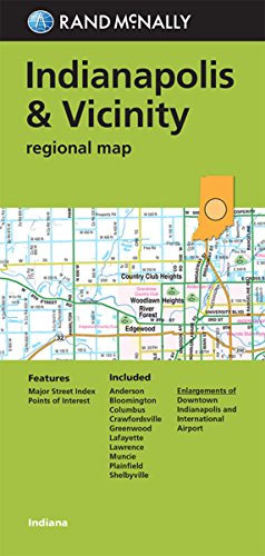
New York City & Long Island Regional Rand McNally
New York City – Long Island in a series of Rand McNally’s regional road maps covering the environs of main US cities. Coverage extends north beyond the West Point Military Academy to the Stewart International Airport in New York State. The eastern part of Long Island is shown at a slightly reduced scale of 1:170,000
Sacramento CA Rand McNally
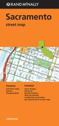
Sacramento in California on an indexed street plan from Rand McNally in their extensive range of maps covering cities in the United States, with an enlargement showing in greater detail downtown Sacramento plus a road map of the surrounding region showing the road links with San Francisco, Napa and Sonoma Valleys, etc. Communities covered by
Magnum China

Many of Magnum`s most renowned photographers – beginning with Robert Capa and Henri Cartier-Bresson on assignment in the 1930s – have been captivated by China. They`ve returned time and again, their fascination growing in line with China`s burgeoning accessibility and international influence. – both an outstanding photobook and a fascinating social history – illustrates the
Tampa – St. Petersburg – Ocala to Sarasota Regional Rand McNally
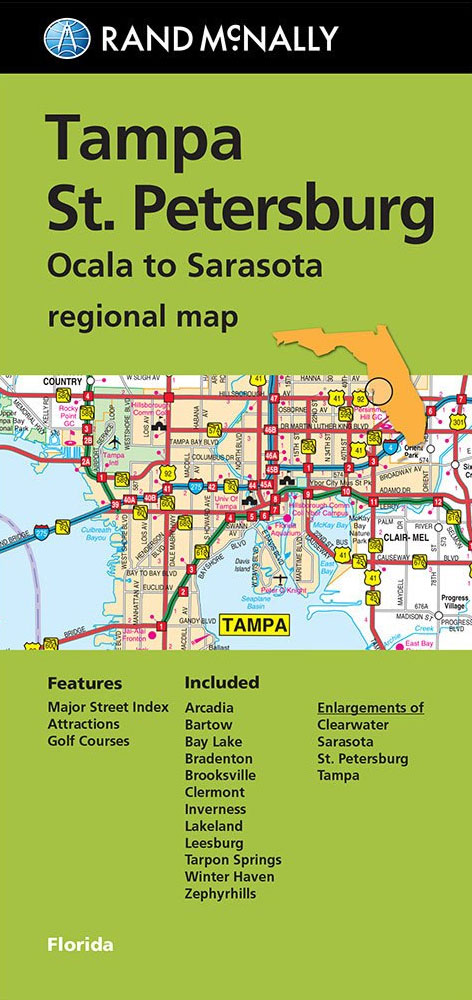
Tampa ‘“ St Petersburg map in a series of Rand McNally’s regional road maps covering the environs of main US cities. The map covers the coast of western Florida, extending from well north of Ocala to south of Sarasota and inland to include Disney World. Insets provide street plans of Saint Petersburg, Tampa, Sarasota and
Harry Gruyaert: India

For more than thirty years, Harry Gruyaert has been recording the subtle chromatic vibrations of Eastern and Western light. His photographs attest to his singular vision: his interest in story, public space and unexpected scenes. This book brings together 125 of Gruyaert`s photographs of India, many published here for the first time. From Gujarat to
Las Vegas – North Las Vegas – The Strip NV Rand McNally
Las Vegas in Nevada on an indexed street plan from Rand McNally in their extensive range of maps covering cities in the United States. Coverage includes The Strip and the city’s McCarran International Airport with exits onto the Bruce Woodbury Beltway ring road, and North Las Vegas with the Beltway’s northern section. The map highlights
Petra

Shortlisted for the 2018 4-11 Picture Book AwardsIs Petra a mountain? An egg? Who knows! She`s a rock and this is how she rolls. Petra is a mighty mountain that can`t be moved by the wind or time. Or so we think until we discover that she`s actually something even more astonishing. Petra has the
Portland OR Rand McNally
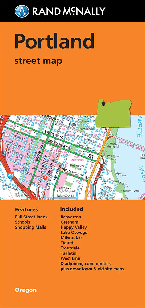
Portland in Oregon on an indexed street plan from Rand McNally in their extensive range of maps covering cities in the United States. An inset shows downtown Portland in greater detail and another panel provides a road map of the Greater Portland area. Communities covered by this map include Beaverton, Gresham, Happy Valley, Lake Oswego,
The Nagas

In the years before Indian Independence in 1947, the Nagas of Northeast India came to exemplify an exotic society. Peoples of the Hills, radically different in culture and beliefs from the better-known Hindu peoples of the plains, they were renowned for their fierce resistance to British rule and for their former practice of head-taking. Although
Memphis TN Rand McNally
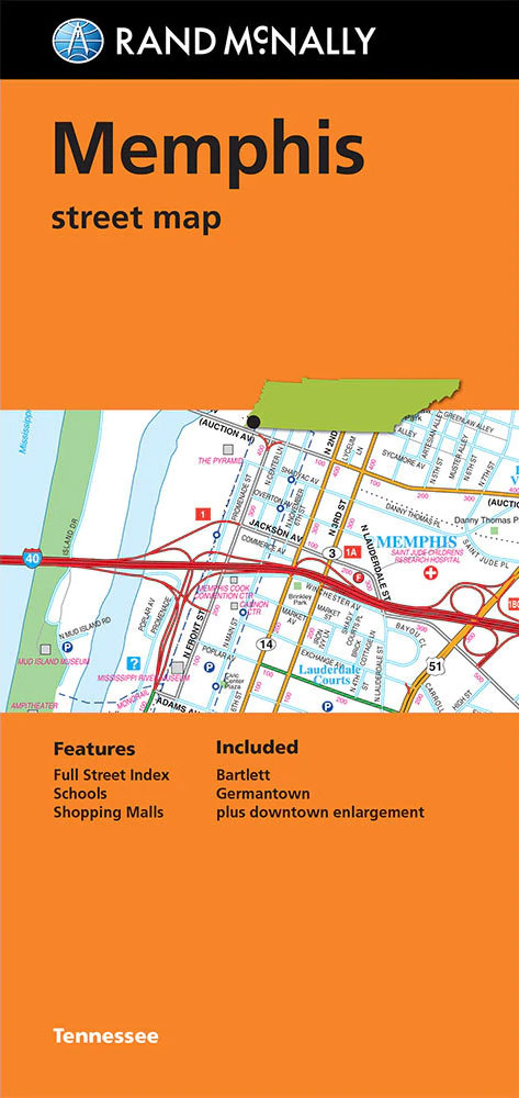
Memphis in Tennessee on an indexed street plan from Rand McNally in their extensive range of maps covering cities in the United States. An enlargement shows the downtown area in greater detail. Communities covered by this map include Bartlett and Germantown.NEW STREET PLAN CARTOGRAPHY FROM RAND McNALLY: Rand McNally are currently changing the cartography of
The Real State of America Atlas

America is the land of the free, the beacon of democracy, and the leader of the world. It is the land of opportunity and a nation of homeowners. Or is it? Packed with maps, graphics, illustrations, and incisive essays, this handy, concise atlas examines the most cherished ideals about American life to see how they
China`s Museums

This book provides a guide to China`s rich and varied museum collections, illustrated with rare images from the collections themselves. A great number of exquisite objects and artifacts have been preserved on China`s vast territory, many of which are now displayed as museum exhibits. These cultural relics provide a crucial supplement to documentary sources, enriching
Des Moines – Ames IA Rand McNally

Des Moines in Iowa on an indexed street plan from Rand McNally in their extensive range of maps covering cities in the United States. Additional insets provide coverage of Ames plus a road map of Des Moines and vicinity. Communities covered by this title include Altoona, Ankeny, Carlisle, Clive, Grimes, Johnston, Pleasant Hill, Urbandale, West
Denver Regional CO Rand McNally
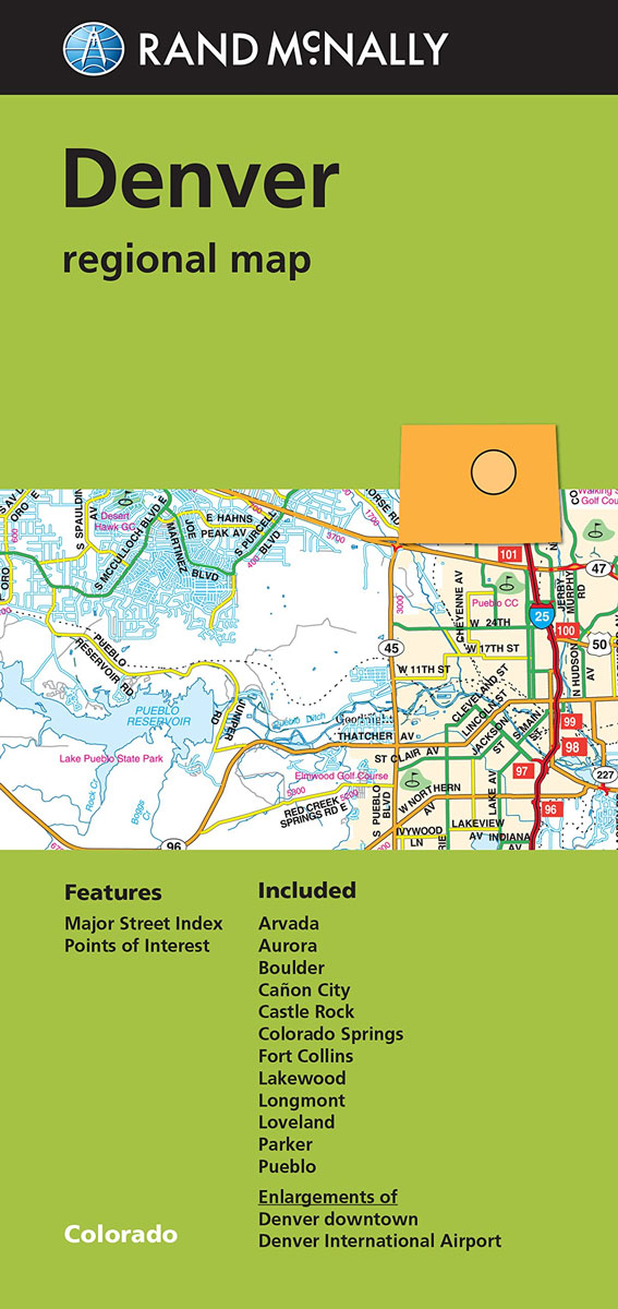
Denver and vicinity in a series of Rand McNally’s regional road maps covering the environs of main US cities. Insets show downtown Denver and access to the city’s airport. Coverage extends north beyond Fort Collins, and south beyond Colorado Springs to Pueblo. In the west the map extends beyond the Peak to Peak Highway to
Los Angeles & San Diego Vicinity CA Regional Rand McNally
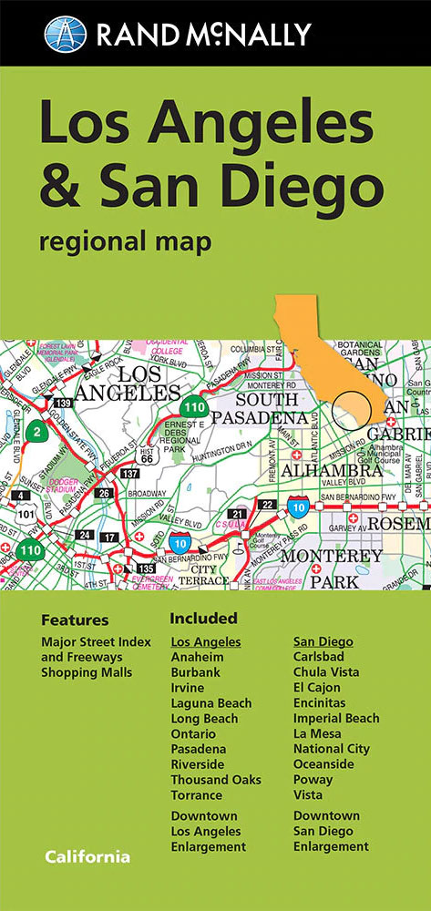
The vicinity of Los Angeles and San Diego at 1:150,000 approx. on a detailed, indexed map from Rand McNally’s regional series covering the environs of main US cities. On one side is the LA conurbation with coverage extending inland to Riverside and Lake Elsinore, north to San Fernando and Moorpark, and along the coast from
Sita Ram`s Painted Views of India: Lord Hastings`s Journey from Calcutta to the Punjab, 1814 15
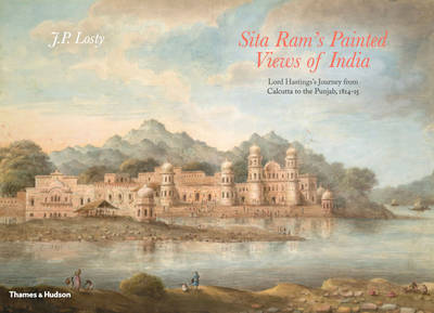
Lord Hastings`s journal of his travels from Calcutta to the Punjab in 1814-1815 records the events and views of this journey accompanied by 200 large watercolour illustrations by Sita Ram. This book includes an edited version of the journal charting his passage through the India of the early nineteenth century. Though Sita Ram`s picturesque paintings
Unseen Extremes: Mapping the World`s Greatest Mountains

Unseen Extremes marks a new milestone in Earth observation and Alpine exploration, presenting thirteen of the world`s great mountains in a manner never seen before. The German Centre for Aviation and Space Travel created very precise digital pictures of the mountains with the aid of satellite photographs taken from a height of several hundred kilometres.
Asian Lives: A Closer Look

In 2011, adhering to his mentor Henri Cartier-Bresson`s mantra to `photograph the truth`, animation filmmaker Ishu Patel embarks on a photographic journey in southeast Asia. Abandoning moving images to secure a series of still images that capture a uniquely human gesture or powerful thought-provoking story, he prowls both urban and rural areas armed only with
City Cycling Berlin

The eight guides in the City Cycling Europe series are each devoted to a different city: London, Amsterdam, Copenhagen, Antwerp/Ghent, Berlin, Paris, Barcelona and Milan. Each compact volume features cycle-friendly neighbourhoods, itineraries, cycle maps and places to visit where cyclists are always welcome. Aimed primarily at those looking to take casual weekend breaks, there is