Category Archives: Maps
Houston TX Regional Rand McNally
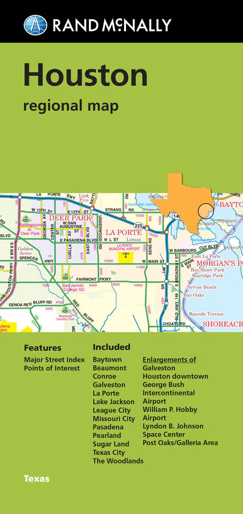
Houston and the surrounding region on an indexed road map from Rand McNally, with coverage extending to the Gulf of Mexico. Additional panels provide more detailed street plans of downtown Houston, the Galleria/Post Oak and the Hobby Airport area, access to the Houston LBJ Space Centre and to the city’s George Bush Intercontinental Airport, plus
Charlotte NC Rand McNally
Charlotte and Vicinity in North Carolina in a series of Rand McNally’s regional maps covering the environs of main US cities. The map covers an area centered on the city, extending west beyond Gaffney and Morganton; north beyond Hickory and Statesville to Sawmills and Lenoir; east to Lexington and Richfield; and south to Union, Chester
Miami – Fort Lauderdale – West Palm Beach FL Regional Rand McNally
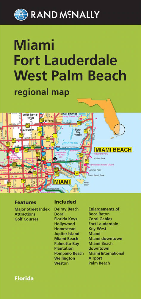
The eastern half of southern Florida with Miami, Fort Lauderdale and West Palm Beach in a series of Rand McNally’s regional road maps covering the environs of main US cities. Coverage along the coast extends from Jupiter Island to Key Largo and the northern part of Florida Keys. Other communities covered by the map include
Philadelphia & Southeast Pennsylvania Regional Rand McNally
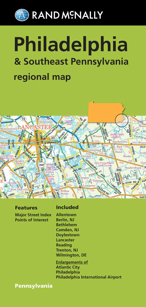
Philadelphia and Southeast Pennsylvania in a series of Rand McNally’s regional road maps covering the environs of main US cities. Additional panels show in greater detail downtown Philadelphia plus access to the city’s international airport, and a street plan of Atlantic City in New Jersey. Coverage of the road maps extends north/south from Bath and
Seattle WA Rand McNally
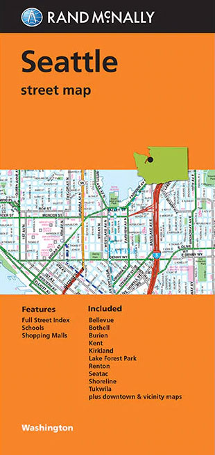
Seattle in Washington State on an indexed street plan from Rand McNally in their extensive range of maps covering cities in the United States. An enlargement shows downtown Seattle in greater detail and also provided is a road map of the Puget Sound area from Tacoma to Everett. Communities covered by this map include Bellevue,
Buffalo – Niagara Falls NY Rand McNally
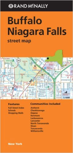
Buffalo and Niagara Falls in New York State on an indexed street plan from Rand McNally in their extensive range of maps covering cities in the United States. Coverage extends across the Canadian border to include the downtown are of Niagara Fall in Ontario. Other communities covered by this map include Amherst, Cheektowaga, Depew, Kenmore,
Atlanta GA Rand McNally
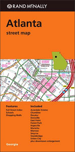
Atlanta in Georgia on an indexed street plan from Rand McNally in their extensive range of maps covering cities in the United States. An inset provides a more detailed street plan of downtown Atlanta. Communities covered by this title include Avondale Estates, Chamblee, Decatur, Doraville, East Point, Forest Park, Hapeville, Marietta, Morrow, Smyrna, Stockbridge, and
Florida Central & Eastern Regional Rand McNally
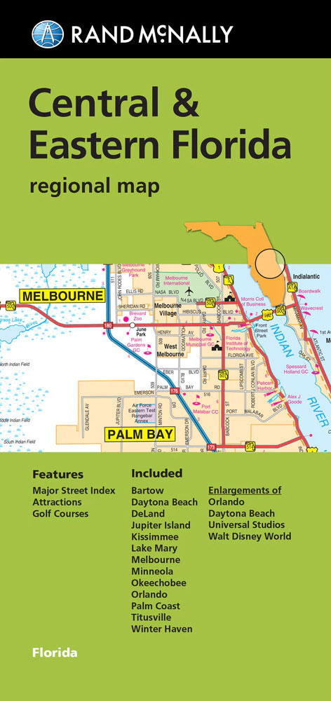
Central and Eastern Florida, including Orlando, Disney World and NASA’s Space Centre in a series of Rand McNally’s regional road maps covering the environs of main US cities. Coverage along the coast extends from north of Daytona Beach to south of Port Saint Lucie, and inland to include Kissimmee, Disney World and Winter Haven. On
Charleston SC Rand McNally
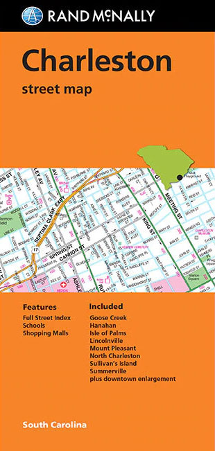
Charleston in South Carolina on an indexed street plan from Rand McNally in their extensive range of maps covering cities in the United States. An inset presents downtown Charleston in greater detail. Coverage includes communities of Goose Creek, Hanahan, Isle of Palms, Lincolnville, Mount Pleasant, North Charleston Sullivan’s Islands and Summerville.NEW STREET PLAN CARTOGRAPHY FROM
Pittsburgh Regional PA Rand McNally
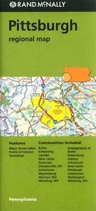
Pittsburgh Regional Map from Rand McNally including panels providing more detailed mapping of the region`s most visited areas.Maps in this series present the road network on a clear background with no relief shading to show the area’s topography, but with national or state parks, forests and other protected areas indicated by colouring. Roads are numbered
Atlanta GA Regional Rand McNally
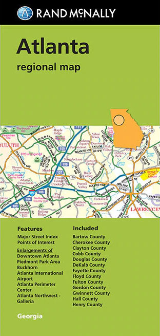
Greater Atlanta in Georgia on an indexed regional map from Rand McNally in their extensive range of maps covering cities in the United States. Seven panels provide enlargements showing in greater detail downtown Atlanta, access to the city’s international airport, Atlanta Northwest-Galleria, Atlanta Perimeter Centre, Buckhead Atlanta, Atlanta Piedmont Park, and Stone Mountain Park. Counties
Cleveland – Cuyahoga County OH Rand McNally
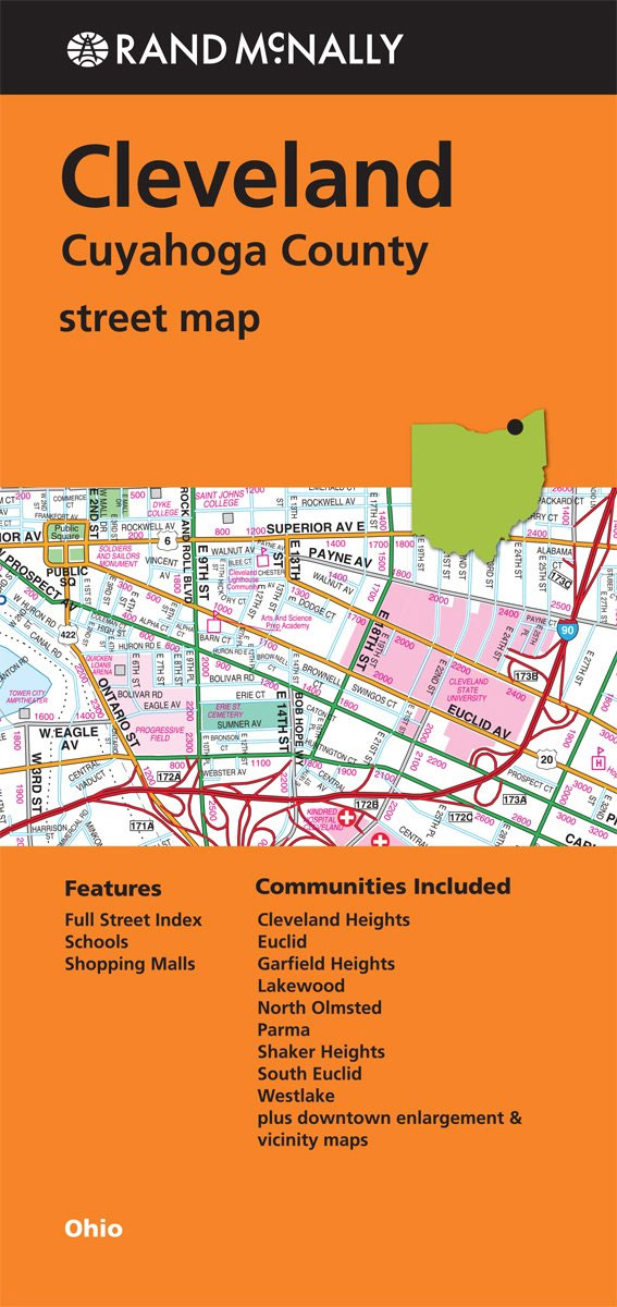
Cleveland and Cuyahoga County in Ohio on an indexed street plan from Rand McNally in their extensive range of maps covering cities in the United States. Insets provide a more detailed street plan of downtown Cleveland, plus a road map of Cleveland and vicinity. Communities covered by this title include Cleveland Heights, Euclid, Garfield Heights,
Salt Lake City UT Rand McNally
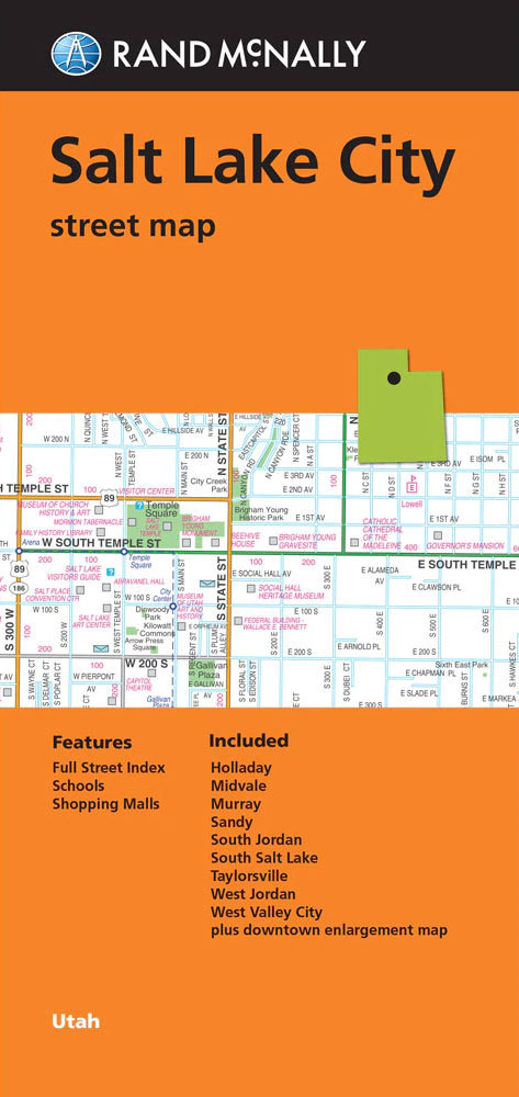
Salt Lake City in Utah on an indexed street plan from Rand McNally in their extensive range of maps covering cities in the United States. An enlargement shows downtown Salt Lake City in greater detail. Communities covered by this map include Holladay, Midvale, Murray, Sandy, South Jordan, South Salt Lake, Taylorsville and West Valley City.NEW
Chicago Regional Rand McNally
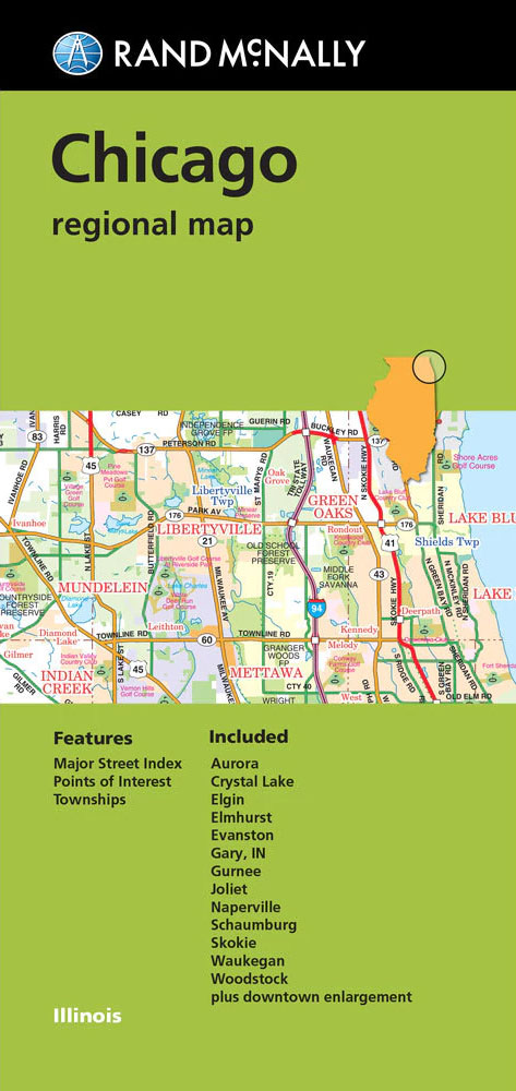
Chicago and vicinity in a series of Rand McNally’s regional maps covering the environs of main US cities. Coverage extends west and south beyond the city’s conurbation to DeKalb and Grundy – Kankakee, and along the shore of Lake Michigan northwards just beyond the state border and eastwards to Gray in Indiana. Communities covered by
Detroit & Southeastern Michigan Regional Rand McNally
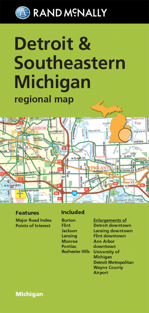
Detroit and South Eastern Michigan in a series of Rand McNally’s regional road maps covering the environs of main US cities, with enlargements showing in greater detail downtown Detroit, Ann Arbor with an index of buildings in the University of Michigan campus, Lansing, Flint and access to the Detroit Metro Wayne Airport. Coverage extends north-west
Petra

Shortlisted for the 2018 4-11 Picture Book AwardsIs Petra a mountain? An egg? Who knows! She`s a rock and this is how she rolls. Petra is a mighty mountain that can`t be moved by the wind or time. Or so we think until we discover that she`s actually something even more astonishing. Petra has the
Portland OR Rand McNally
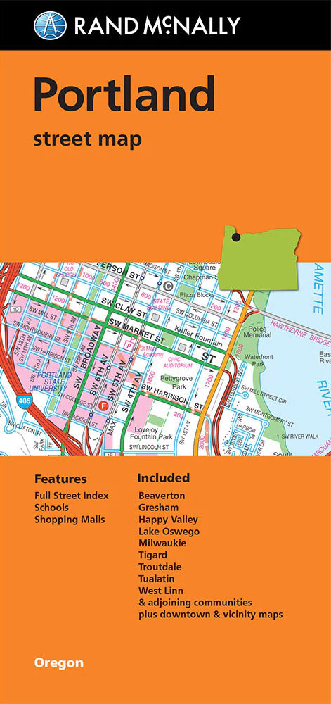
Portland in Oregon on an indexed street plan from Rand McNally in their extensive range of maps covering cities in the United States. An inset shows downtown Portland in greater detail and another panel provides a road map of the Greater Portland area. Communities covered by this map include Beaverton, Gresham, Happy Valley, Lake Oswego,
The Nagas

In the years before Indian Independence in 1947, the Nagas of Northeast India came to exemplify an exotic society. Peoples of the Hills, radically different in culture and beliefs from the better-known Hindu peoples of the plains, they were renowned for their fierce resistance to British rule and for their former practice of head-taking. Although
Memphis TN Rand McNally
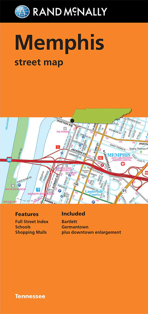
Memphis in Tennessee on an indexed street plan from Rand McNally in their extensive range of maps covering cities in the United States. An enlargement shows the downtown area in greater detail. Communities covered by this map include Bartlett and Germantown.NEW STREET PLAN CARTOGRAPHY FROM RAND McNALLY: Rand McNally are currently changing the cartography of