Category Archives: Maps
An Illustrated History of Kazakhstan: Asia`s Heartland in Context
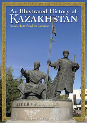
Using essays from renowned archaeologists, historians and scholars as the core of each chapter, this book explains Kazakhstan s long and complex history as a single flowing narrative, complemented by a range of beautiful maps and images, from exquisite museum pieces to landscapes that place you within the hauntingly beautiful environment that molded the region
Central Asia Geographical Edition Gizi Map
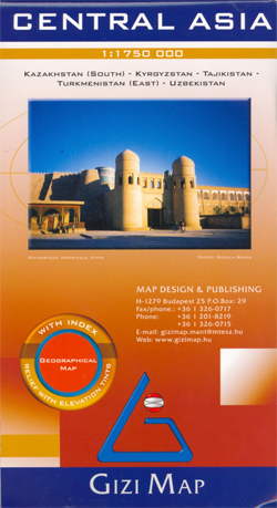
Gizi Map coverage of Central Asia at 1:1,750,000 is available either in a geographical version or in a road edition and includes Uzbekistan, Kyrgyzstan, Tajikistan, plus southern Kazakhstan and most of Turkmenistan.Both versions show the region’s rail and road networks, including selected dirt tracks, give driving distances on major roads, and highlight several variants of
Myeik Archipelago & Myanmar (Burma) Odyssey Map

Myeik Archipelago and the southern part of Burma’s panhandle presented by Odyssey Books at 1:625,000 with descriptions of the region’s 17 most important sights, many illustrated with colour photos, plus on the reverse a map of the whole country, also accompanied by descriptions and photos of its various highlights.On one side is a map of
Central Asia (Road Edition)
Gizi Map coverage of Central Asia at 1:1,750,000 is available either in a geographical version or in a road edition and includes Uzbekistan, Kyrgyzstan, Tajikistan, plus southern Kazakhstan and most of Turkmenistan.Both versions show the region’s rail and road networks, including selected dirt tracks, give driving distances on major roads, and highlight several variants of
Malaysia Odyssey Map

Malaysia on a double-sided map/guide from Odyssey Books, with extensive text accompanied by colour photos providing additional tourist information. Peninsular Malaysia 1:1,300,000 with Sarawak and Sabah at 1:2,600,000 are presented on both sides of the map ‘“ on one side with shading and/or colouring showing the topography and on the reverse vegetation. The map shows
St Anna Lake Dimap Hiking Map
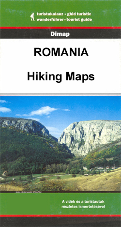
St Anna Lake at 1:35,000 in a series of detailed contoured maps covering popular hiking areas of Transylvania published by Dimap, one of Hungary’s leading publishers specializing in mapping of that region. The maps show local hiking routes and provide tourist information such as campsites, places of interest, etc. Many titles include street plans and/or
Sarawak Odyssey Map

Malaysian province of Sarawak on the north-western side of Borneo at 1:800,000 on a double-sided map, with extensive text accompanied by colour photos providing additional tourist information. The whole province is shown on each side of the map, but with shading and/or colouring emphasising on one side the topography and on the reverse the vegetation.
Cambodia – the Khmer Legacy Odyssey Illustrated Map
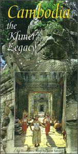
Cambodia at 1:1,000,000 on a map/guide from Odyssey Books with extensive text accompanied by colour photos describing the country’s 19 main tourist attractions, including temples, beaches, wildlife and nature, etc.The map shows the network of main road and rail connections, plus regional airports. Relatively fewer smaller towns and villages are marked than on other maps
Inle Lake Odyssey Map

Inle Lake in central Burma / Myanmar on a double-sided map from Odyssey Books presenting the lake area at 1:40,000 and a wider region around it at 1:150,000, with highlighting for sights and tourist accommodation, plus descriptions and photos.On one side Inle Lake and its immediate surroundings, including the town of Nyaung Shwe, is presented
Yangon & Myanmar (Burma) Odyssey Map

Yangon (Rangoon) street plan at 1:24,000 from Odyssey Books with on the reverse a road map of Burma/Myanmar at 1:2,150,000, both with informative descriptions and colour photos of places of interest highlighted on them and various aspects of the country.On one side is a street plan of Yangon showing locations of numerous hotels, as well
Polhograjsko Hribovje Slovenian Alpine Club 25K Map
Polhograjsko Hribovje area at 1:25,000 in a series of contoured, GPS compatible recreational maps from Planinska zveza Slovenie – Slovenian Alpine Club, covering Slovenia’s popular hiking regions at 1:50,000 or 1:25,000. Contours are at 20m intervals and the map has a 1km UTM grid plus 1’ margin ticks. On the reverse are details of two
Slovenia Kartografija Road Atlas

Slovenia at 1:75,000 presented in an A4, paperback road atlas from the Ljubljana-based Kartografija with very detailed GPS-compatible mapping at 1:75,000, including vivid presentation of the topography, extensive tourist overprint, plus 11 indexed street plans, a distance table, etc. Coverage includes the border areas of Italy around Trieste and Gorizia. The atlas shows names of
Yangzi River Odyssey Map
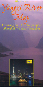
The Yangzi River, including its Three Gorges region, on a new updated 2014 map from Odyssey Books, presenting the river and the surrounding area in a series of panels with maps at various scales, street plans and satellite images annotated with notes for visitors and spread across both sides of this title.An overview map of
Silk Road: Monks, Warriors & Merchants: 2012

To the modern reader, the Silk Road conjures up images of fabled cities and exotic lands, of long-gone empires and great conquerors. Place names such as Samarkand, Bukhara, Khotan or Chang`an continue to fascinate with the richness of their past. In this authoritative book, Luce Boulnois explores the encounter between East and West across the
Zakynthos Terrain Editions 355
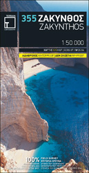
Zakynthos on a light, waterproof and tear-resistant map from Terrain Editions, combining contoured mapping of the island at 1:50,000 with a street plan of Zakynthos Town and extensive bilingual notes about the island.On one side is a map of the whole island with its topography shown by contours at 100m intervals and altitude colouring. Road
Laos & The Mekong River from Source to Sea Odyssey Map
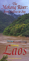
Laos – The Mekong River from Source to Sea on a double-sided map from Odyssey Books offering an interesting combination of a road map of Laos with descriptions of main sights, plus a physical map of South-East Asia with the source of the Mekong on the Tibetan Plateau.On one side is Laos shown at 1:1,470,000
Mt Athos Terrain Editions 209

Mount Athos peninsula at 1:50,000 on a contoured and GPS compatible map from Terrain Editions, printed on light, waterproof and tear-resistant synthetic paper, with an enlargement of the Karyes area at 1:10,000, a detailed plan of Karyes, plus extensive tourist information.Contours are at 100m intervals, enhanced by relief shading. Local roads, tracks and footpaths are
The Mekong River from Source to Sea Odyssey Map
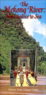
The Mekong River from Source to Sea map from Odyssey Books presenting the river accompanied by extensive descriptions of various aspects of it landscape, flora and fauna, ethnic minorities along its shores, etc, with on the reverse a wider region of South-East Asia.On one side the river is presented with its more immediate surroundings, from
Peloponnese Anavasi Road Atlas
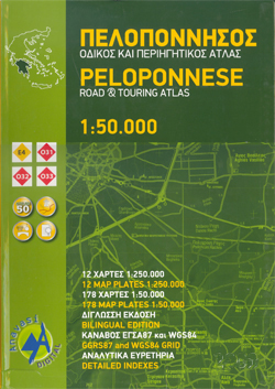
Road Atlas of the Peloponnese from Anavasi, in an A4 paperback format, with contoured, GPS compatible mapping at 1:50,000, very detailed road classification, hiking paths, and place names in both Greek and Latin alphabets.The main section of the atlas has 178 pages of detailed maps with contours at 100m intervals, altitude colouring and relief shading
Philippines Odyssey Map

Philippines on a map at 1:1,950,000 from Odyssey Guides presenting the country on one side with descriptions of its natural sites and recreational possibilities and on the reverse with historical and cultural information.On one side is a map with colouring and shading to indicate the topography. The map shows the network of main roads, principal


