Category Archives: Maps
Kansas City MO/KS Rand McNally
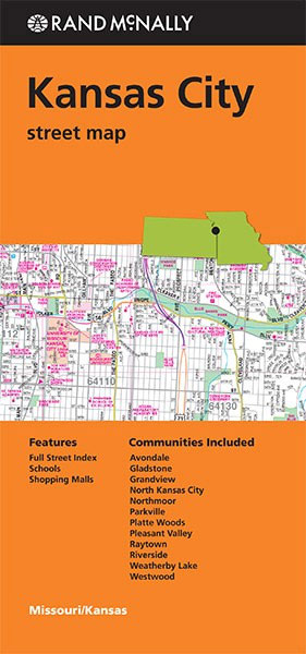
Kansas City, both in Missouri and in Kansas, on an indexed street plan from Rand McNally in their extensive range of maps covering cities in the United States. Insets provide an enlargement of the downtown area in Missouri, plus a road map of Kansas City and vicinity. Communities covered by this title include Avondale, Gladstone,
Louisville KY Rand McNally
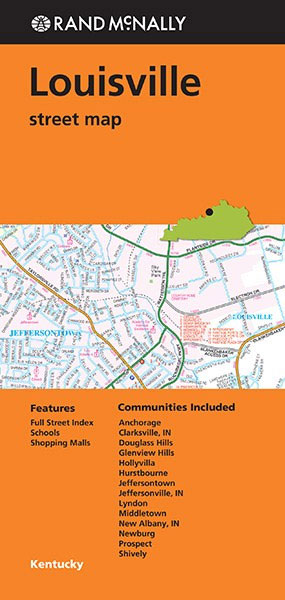
Louisville in Kentucky on an indexed street plan from Rand McNally in their extensive range of maps covering cities in the United States. An inset shows a road map of Louisville and vicinity. Communities covered by this map include Anchorage, Clarksville IN, Douglass Hills, Glenview Hills, Hollyvilla, Husrtbourne, Jeffersontown, Jeffersonville IN, Lyndon, Middletown, New Albany
Raleigh – Durham NC Rand McNally
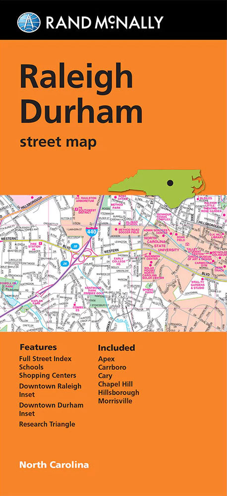
Raleigh and Durham in North Carolina on an indexed street plan from Rand McNally in their extensive range of maps covering cities in the United States. Enlargements shows downtown Raleigh, Durham and Chapel Hill in greater detail and a small panel provides a road map of the surrounding area. Communities covered by this map include
Miami FL Rand McNally
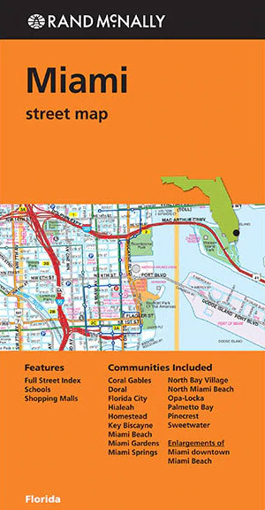
Miami with Miami Beach in Florida on an indexed street plan from Rand McNally in their extensive range of maps covering cities in the United States. The map includes more detailed enlargements of downtown Miami with Miami Beach. Other communities covered by this title include Coral Gables, Doral, Florida City, Hialeah, Homestead, Key Biscayne, Miami
Milwaukee WI Rand McNally
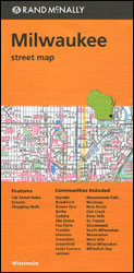
Milwaukee in Wisconsin on an indexed street plan from Rand McNally in their extensive range of maps covering cities in the United States. An inset provides a more detailed street plan of downtown Milwaukee, and on the reverse is a road map of south-eastern Wisconsin extending south to the state border, west beyond Madison, and
Boston MA Rand McNally
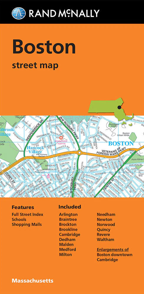
Boston in Massachusetts on an indexed street plan from Rand McNally in their extensive range of maps covering cities in the United States, with enlargements showing in greater detail downtown Boston and Cambridge. Communities covered by this map include Arlington, Braintree, Brockton, Brookline, Dedham, Malden, Medford, Milton, Needham, Newton, Norwood, Quincy, Revere and Waltham. NEW
Dallas TX Rand McNally
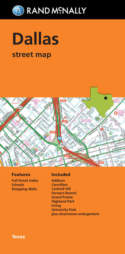
Dallas area in Texas on an indexed street plan from Rand McNally in their extensive range of maps covering cities in the United States. An inset shows the downtown area in greater detail. Coverage included the Dallas Fort Worth International Airport. Other communities covered by this map include Addison, Carrollton, Cockrell Hill, Farmers Branch, Highland
New York City 5-Borough Rand McNally
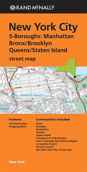
New York City on a combination of street plans from Rand McNally including coverage of all the five boroughs, a detailed plan of Manhattan, layout plans of the main airports, a road map of the city’s vicinity and a map of the subway system.On one side is a street plan of the city’s four main
Phoenix – Tucson & Vicinity AZ Regional Rand McNally
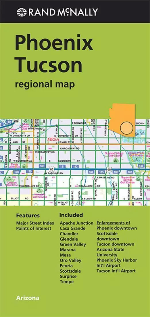
Phoenix, Tucson and Vicinity in Arizona in a series of Rand McNally’s regional road maps covering the environs of main US cities. On one side is the Phoenix conurbation and on the reverse Tucson ‘“ the area between the two cities is not shown. Communities covered by this map include Apache Junction, Chandler, Glendale, Marana,
Philadelphia PA Rand McNally
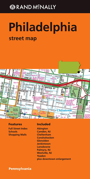
Philadelphia in Pennsylvania on an indexed street plan from Rand McNally in their extensive range of maps covering cities in the United States. An inset shows downtown Philadelphia in greater detail. Communities covered by this map include Abington, Camden NJ, Cheltenham, Conshohocken, Glenolden, Jenkintown, Lansdowne, Palmyra NJ, Prospect Park, Westville NJ, and Yeadon.NEW STREET PLAN
Puget Sound WA Regional Rand McNally
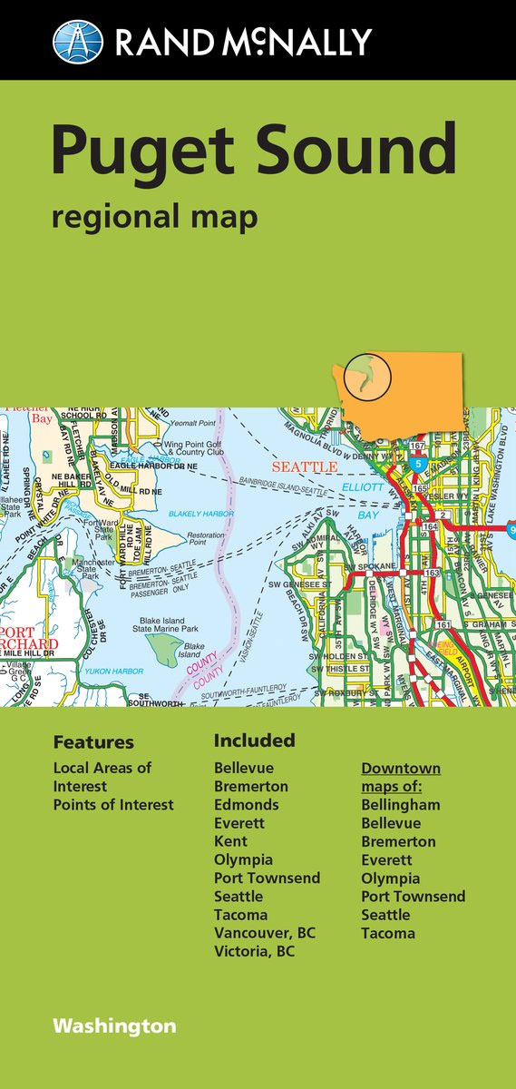
Seattle and the Puget Sound area in a series of Rand McNally’s regional road maps covering the environs of main US cities, plus street maps of 12 towns. Coverage extends north to include Vancouver with the western part of the Fraser Valley and the south-eastern tip of the Vancouver Island, and south beyond the Mount
Columbus OH Rand McNally
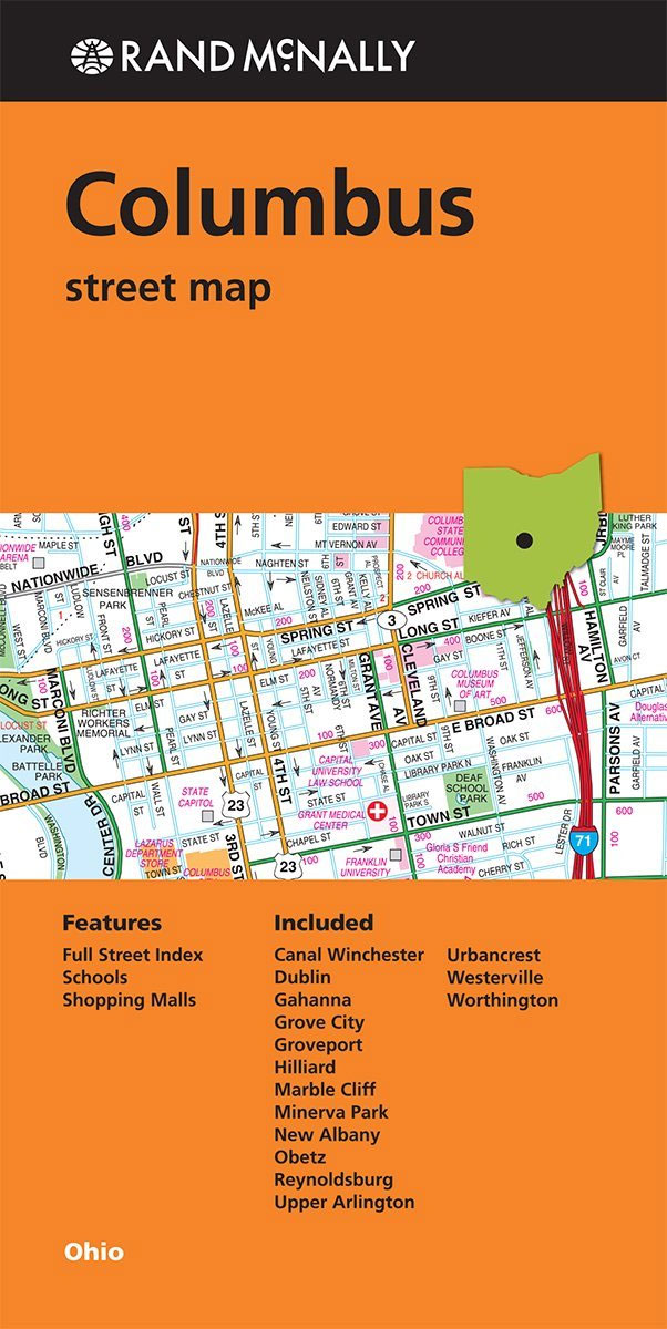
Columbus in Ohio on an indexed street plan from Rand McNally in their extensive range of maps covering cities in the United States. An inset provides a road map of Tulsa and vicinity. An inset shows downtown Columbus in greater detail. Communities covered by this title include Canal Winchester, Dublin, Gahanna, Grove City, Groveport, Hilliard,
Portland Regional Rand McNally
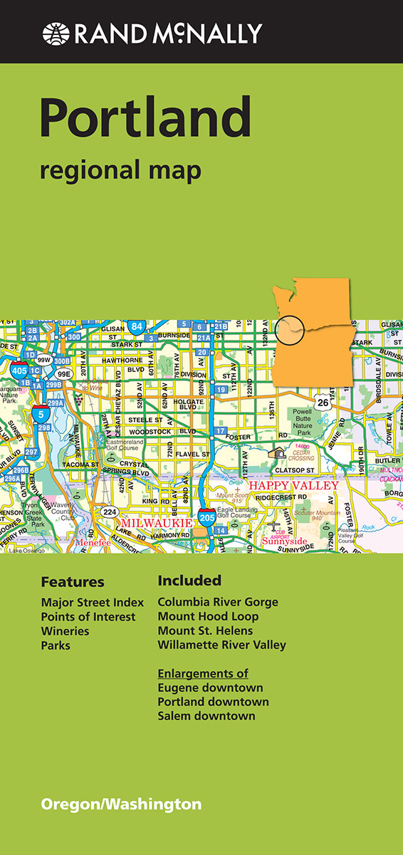
Portland Regional Map from Rand McNally including panels providing more detailed mapping of the region`s most visited areas.Maps in this series present the road network on a clear background with no relief shading to show the area’s topography, but with national or state parks, forests and other protected areas indicated by colouring. Roads are numbered
Jacksonville FL Rand McNally
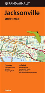
Jacksonville in Florida on an indexed street plan from Rand McNally in their extensive range of maps covering cities in the United States. Communities covered by this title include Atlantic Beach, Jacksonville Beach and Neptune Beach.Rand McNally street plans provide coverage of cities with their outer suburbs, clearly indicating main traffic arteries: highways (distinguishing between
St Louis MO Rand McNally
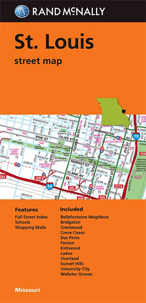
St. Louis on an indexed street plan from Rand McNally in their extensive range of maps covering cities in the United States. Insets show downtown St. Louis in greater detail, plus the city’s environs on both sides of the Mississippi. Coverage includes Lambert Saint Louis International Airport; communities include Bellefontaine Neighbors, Bridgeton, Crestwood, Creve Coeur,
Washington D.C. Rand McNally
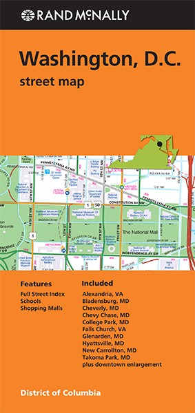
Washington DC with the whole District of Columbia (apart from the southernmost corner of Alexandria) plus the adjoining counties on an indexed street plan from Rand McNally in their extensive range of maps covering cities in the United States. An enlargement presents downtown DC in greater detail. Communities covered by this map include Bladensburg, Cheverly,
Buffalo – Niagara Falls NY Rand McNally
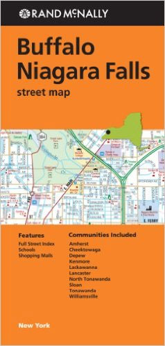
Buffalo and Niagara Falls in New York State on an indexed street plan from Rand McNally in their extensive range of maps covering cities in the United States. Coverage extends across the Canadian border to include the downtown are of Niagara Fall in Ontario. Other communities covered by this map include Amherst, Cheektowaga, Depew, Kenmore,
Atlanta GA Rand McNally
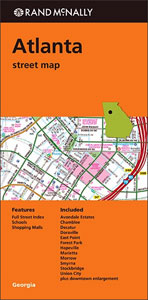
Atlanta in Georgia on an indexed street plan from Rand McNally in their extensive range of maps covering cities in the United States. An inset provides a more detailed street plan of downtown Atlanta. Communities covered by this title include Avondale Estates, Chamblee, Decatur, Doraville, East Point, Forest Park, Hapeville, Marietta, Morrow, Smyrna, Stockbridge, and
Florida Central & Eastern Regional Rand McNally
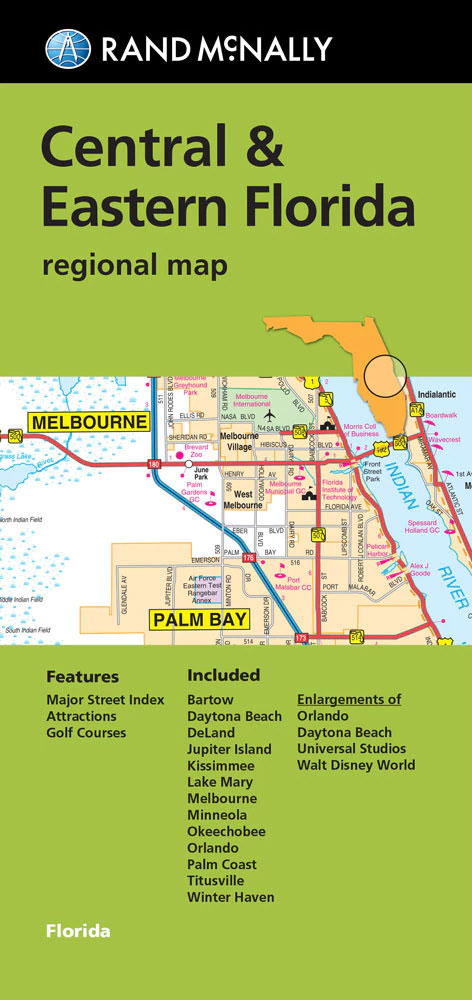
Central and Eastern Florida, including Orlando, Disney World and NASA’s Space Centre in a series of Rand McNally’s regional road maps covering the environs of main US cities. Coverage along the coast extends from north of Daytona Beach to south of Port Saint Lucie, and inland to include Kissimmee, Disney World and Winter Haven. On
Charleston SC Rand McNally
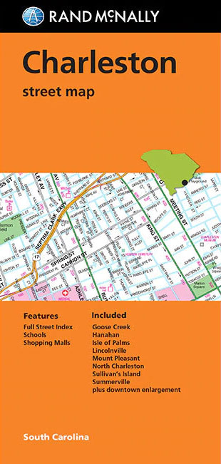
Charleston in South Carolina on an indexed street plan from Rand McNally in their extensive range of maps covering cities in the United States. An inset presents downtown Charleston in greater detail. Coverage includes communities of Goose Creek, Hanahan, Isle of Palms, Lincolnville, Mount Pleasant, North Charleston Sullivan’s Islands and Summerville.NEW STREET PLAN CARTOGRAPHY FROM