Category Archives: Maps
Connecticut & Rhode Island Easy to Fold Rand McNally

Connecticut and Rhode Island on a laminated and waterproof Easy-to-Fold map from Rand McNally, the country’s leading publisher of road maps and street plans. For clarity of road information Rand McNally state maps present the road network on a plain background, with no or little topographic detail. Driving distances are indicated on all principal highways
Maine Easy to Fold Rand McNally

Maine on a laminated and waterproof Easy-to-Fold map from Rand McNally, the country’s leading publisher of road maps and street plans. For clarity of road information Rand McNally state maps present the road network on a plain background, with no or little topographic detail. Driving distances are indicated on all principal highways and on many
New Hampshire & Vermont Easy to Fold Rand McNally

New Hampshire and Vermont on a laminated and waterproof Easy-to-Fold map from Rand McNally, the country’s leading publisher of road maps and street plans. For clarity of road information Rand McNally state maps present the road network on a plain background, with no or little topographic detail. Driving distances are indicated on all principal highways
Idaho Easy to Fold Rand McNally

Idaho on a laminated and waterproof Easy-to-Fold map from Rand McNally, the country’s leading publisher of road maps and street plans. For clarity of road information Rand McNally state maps present the road network on a plain background, with no or little topographic detail. Driving distances are indicated on all principal highways and on many
Massachusetts Easy-to-Read Rand McNally
Massachusetts Easy-to-Read map from Rand McNally, US leading publisher of road maps and street plans, in their extensive series of state maps. Additional panels provide enlargements for: Boston and vicinity with a plan of downtown Boston, Cap Cod National Sea Shore, New Bedford – Fall River, Lowell – Lawrence – the Merrimack Valley Cities, Pittsville,
Montana & Wyoming Easy to Fold Rand McNally
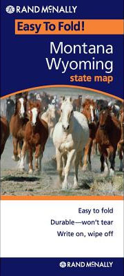
Montana and Wyoming on a laminated and waterproof Easy-to-Fold map from Rand McNally, the country’s leading publisher of road maps and street plans. For clarity of road information Rand McNally state maps present the road network on a plain background, with no or little topographic detail. Driving distances are indicated on all principal highways and
Montana – Wyoming Easy-to-Read Rand McNally
Montana and Wyoming Easy-to-Read map from Rand McNally, US leading publisher of road maps and street plans, in their extensive series of state maps. Additional panels provide enlargements for: Billings, Butte, Casper, Cheyenne, Great Falls, Helena, Missoula, Waterton-Glacier International Peace Park, Yellowstone and Grand Teton National Parks.For clarity of road information Rand McNally state maps
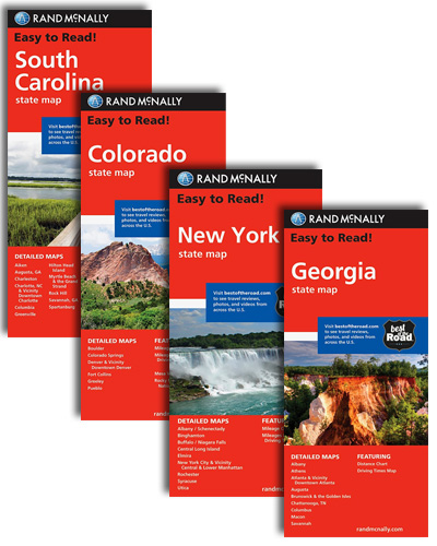
Colorado Easy to Fold Rand McNally

Colorado on a laminated and waterproof Easy-to-Fold map from Rand McNally, the country’s leading publisher of road maps and street plans. For clarity of road information Rand McNally state maps present the road network on a plain background, with no or little topographic detail. Driving distances are indicated on all principal highways and on many
Nevada Easy-to-Read Rand McNally
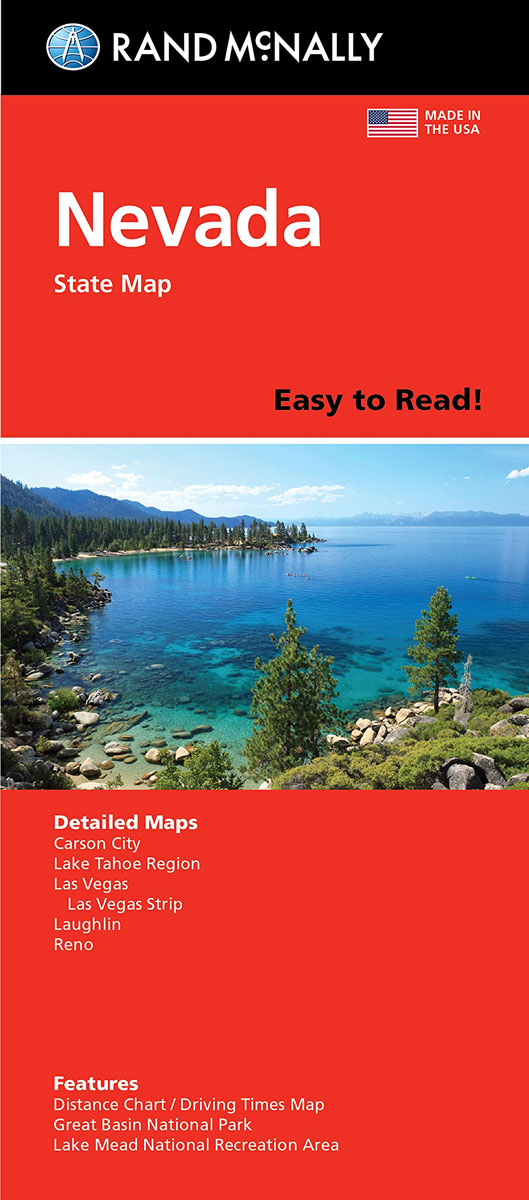
Nevada Easy-to-Read map from Rand McNally, US leading publisher of road maps and street plans, in their extensive series of state maps. Additional panels provide enlargements for Las Vegas with a map of Las Vegas Strip, Lake Mead National Recreational Area, Laughlin, Carson City, Great Basin National Park, Lake Tahoe Region and Reno.For clarity of
Iowa Easy to Fold Rand McNally

Iowa on a laminated and waterproof Easy-to-Fold map from Rand McNally, the country’s leading publisher of road maps and street plans. For clarity of road information Rand McNally state maps present the road network on a plain background, with no or little topographic detail. Driving distances are indicated on all principal highways and on many
Central United States Rand McNally
Central United States map at 1:2,650,000 from Rand McNally presenting the region’s road network on a base highlighting national parks or forests and Indian Reservations. Numerous enlargements show the areas around main cities in greater detail. Coverage in the north extends from Chicago to the western borders of the Dakotas, and in the south from
Eastern United States Easy-to-Read Rand McNally
Eastern United States Easy-to-Read map at 1:2,650,000 from Rand McNally presenting the region’s road network on a base highlighting national parks and forests. Numerous enlargements show the areas around main cities in greater detail. Coverage extends to St. Louis, Memphis TN and New Orleans. The index is arranged by state.The enlargements show: Atlanta , Baltimore,
Florida Easy-to-Read Rand McNally
Florida Easy-to-Read map from Rand McNally, US leading publisher of road maps and street plans, in their extensive series of state maps. Additional panels provide enlargements for Miami and Vicinity (extending north to Riviera Beach) with a street plan of downtown Miami; plus Daytona Beach, Fort Myers – Cape Coral, Gainesville, Jacksonville, Key West with
North Carolina Easy-to-Read Rand McNally
North Carolina Easy-to-Read map from Rand McNally, US leading publisher of road maps and street plans, in their extensive series of state maps. Additional panels provide enlargements of Asheville, Charlotte and vicinity with plan of the downtown area, Fayetteville, Hickory, The Triangle: Raleigh – Durham – Chapel Hill, The Triad: Winston-Salem – Greensboro – High
Tennessee Easy-to-Read Rand McNally
Tennessee Easy-to-Read map from Rand McNally, US leading publisher of road maps and street plans, in their extensive series of state maps. Additional panels provide enlargements for: Memphis and vicinity, Nashville and vicinity, Jackson, Gatlinburg – Pigeon Force, Tri-cities: Johnson City – Kingsport – Bristol, Chattanooga, Clarksville and Knoxville, plus Great Smoky Mountains National Park
Minnesota Easy to Fold Rand McNally

Minnesota on a laminated and waterproof Easy-to-Fold map from Rand McNally, the country’s leading publisher of road maps and street plans. For clarity of road information Rand McNally state maps present the road network on a plain background, with no or little topographic detail. Driving distances are indicated on all principal highways and on many
USA Rand McNally EasyFinder Road Atlas 2022 A4 SPIRAL-BOUND
This spiral bound format features maps that are 35% larger than those found in Rand McNally`s standard Midsize Atlas. This updated North American atlas contains maps of every U.S. state and Canadian province, an overview map of Mexico, plus detailed maps of over 50 North American cities, all conveniently packaged for travel. Contains mileage chart
Nashville TN Rand McNally
Nashville in Tennessee on an indexed street plan from Rand McNally in their extensive range of maps covering cities in the United States. An enlargement shows the downtown area in greater detail, accompanied by an index of places of interest. Communities covered by this map include Belle Meade, Bellevue, Berry Hill, Brentwood, Forest Hills, Franklin,
Northern Virginia Rand McNally
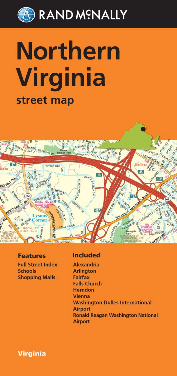
Northern Virginia urban conurbation on an indexed street plan from Rand McNally in their extensive range of maps covering cities in the United States. Coverage extends from the western districts of Washington DC in the north-eastern corner of the map southwards beyond Alexandria, and westwards beyond Herndon and Clifton. Other Communities covered by this map
Los Angeles CA Rand McNally
Los Angeles on an indexed street plan from Rand McNally in their extensive range of maps covering cities in the United States. Coverage includes the city’s international airport, Hollywood and Beverly Hills, and extends inland beyond the Los Angeles River and along the coast to include Malibu. Communities covered by this map include Bel Air