Category Archives: Maps
Hawaii Easy-to-Read Rand McNally
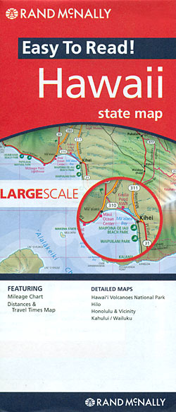
Hawaii East-to-Read map from Rand McNally showing the islands on separate panels but all at the same scale of 1:260,000 approx, with enlargements for Honolulu and Vicinity, Hilo, Kahului ‘“ Wailuku area, and the Hawaii Volcanoes National Park.The islands are presented on four separate panels: Oahu, Hawaii (The Big Island), Kauai with Niihau, plus Maui
Iowa Easy-to-Read Rand McNally
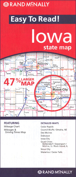
Iowa Easy-to-Read map from Rand McNally, US leading publisher of road maps and street plans, in their extensive series of state maps. Additional panels provide enlargements for Des Moines, Council Bluffs ‘“ Omaha NE, Sioux City, Cedar Rapids, Dubuque, Iowa City, Waterloo ‘“ Cedar Falls, and the Quad Cities: Bettendorf ‘“ Davenport ‘“ Moline IL
Georgia Easy-to-Read Rand McNally
Georgia Easy-to-Read map from Rand McNally, US leading publisher of road maps and street plans, in their extensive series of state maps. Additional panels provide enlargements for Albany, Athens, Atlanta and Vicinity with a street plan of downtown Atlanta, Augusta, Brunswick, Columbus, Macon, and Savannah.For clarity of road information Rand McNally state maps present the
Idaho Easy-to-Read Rand McNally
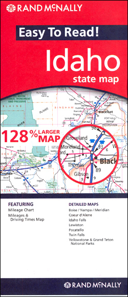
Idaho Easy-to-Read map from Rand McNally, US leading publisher of road maps and street plans, in their extensive series of state maps. Additional panels provide enlargements for Boise – Nampa – Meridian, Coeur d’Alene, Idaho Falls, Lewiston, Pocatello, Twin Falls, plus the Yellowstone and Grand Teton National Parks.For clarity of road information Rand McNally state
Illinois Easy-to-Read Rand McNally
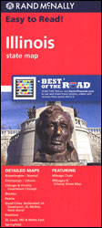
Illinois Easy-to-Read map from Rand McNally, US leading publisher of road maps and street plans, in their extensive series of state maps. Additional panels provide enlargements for Bloomington – Normal, Champaign – Urbana, Chicago and vicinity, downtown Chicago, Decatur, Peoria, Quad Cities (Bettenforf and Davenport, IA, plus Miline and Rock Island), Rockford, St. Louis –
Indiana Easy-to-Read Rand McNally
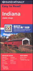
Indiana Easy-to-Read map from Rand McNally, US leading publisher of road maps and street plans, in their extensive series of state maps. Additional panels provide enlargements for: Indianapolis, downtown Indianapolis, Gary, Fort Wayne, South Bend, Anderson, Elkhart, Lafayette, Muncie, Terre Haute, Bloomington, Evansville and Louisville KY.For clarity of road information Rand McNally state maps present
USA Interstate Rand McNally
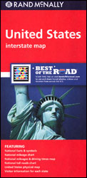
Rand McNally’s road map of the whole of USA presenting the country’s network of free and toll interstate highways plus US and state/provincial highways on a base highlighting national parks or forests and Indian Reservations. Also marked is a selection of other important places of interest. The index, arranged by state, is on the reverse.The
Louisiana Easy to Fold Rand McNally

Louisiana on a laminated and waterproof Easy-to-Fold map from Rand McNally, the country’s leading publisher of road maps and street plans. For clarity of road information Rand McNally state maps present the road network on a plain background, with no or little topographic detail. Driving distances are indicated on all principal highways and on many
Kansas Easy-to-Read Rand McNally

Kansas Easy-to-Read map from Rand McNally, US leading publisher of road maps and street plans, in their extensive series of state maps. Additional panels provide enlargements for Kansas City MO/KS and vicinity with a street plan of downtown Kansas City MO, plus Hutchinson, Lawrence, Manhattan, Salina, Topeka, and Wichita.For clarity of road information Rand McNally
Texas Easy to Fold Rand McNally

Texas on a laminated and waterproof Easy-to-Fold map from Rand McNally, the country’s leading publisher of road maps and street plans. For clarity of road information Rand McNally state maps present the road network on a plain background, with no or little topographic detail. Driving distances are indicated on all principal highways and on many
Kentucky Easy-to-Read Rand McNally
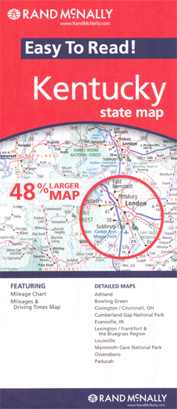
Kentucky Easy-to-Read map from Rand McNally, US leading publisher of road maps and street plans, in their extensive series of state maps. Additional panels provide enlargements for Lexington – Frankfort – Blue Grass region highlighting numerous stud farms, Covington – Cincinnati OH area, Louisville, Ashland, Bowling Green, Paducah, Owensboro, and Evansville IN, plus Mammoth Cave
Mississippi Easy to Fold Rand McNally
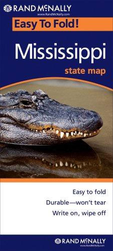
Mississippi on a laminated and waterproof Easy-to-Fold map from Rand McNally, the country’s leading publisher of road maps and street plans. For clarity of road information Rand McNally state maps present the road network on a plain background, with no or little topographic detail. Driving distances are indicated on all principal highways and on many
Louisiana Easy-to-Read Rand McNally
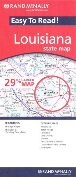
Louisiana Easy-to-Read map from Rand McNally, US leading publisher of road maps and street plans, in their extensive series of state maps. Additional panels provide enlargements for: New Orleans and vicinity with a street plan of the downtown area, Baton Rouge, Alexandria, Lafayette, Lake Charles, Monroe, and Shrevenport.For clarity of road information Rand McNally state
New Jersey Easy to Fold Rand McNally

New Jersey on a laminated and waterproof Easy-to-Fold map from Rand McNally, the country’s leading publisher of road maps and street plans. For clarity of road information Rand McNally state maps present the road network on a plain background, with no or little topographic detail. Driving distances are indicated on all principal highways and on
Arkansas Easy to Fold Rand McNally

Arkansas on a laminated and waterproof Easy-to-Fold map from Rand McNally, the country’s leading publisher of road maps and street plans. For clarity of road information Rand McNally state maps present the road network on a plain background, with no or little topographic detail. Driving distances are indicated on all principal highways and on many
North Dakota & South Dakota Easy to Fold Rand McNally

North and South Dakota on a laminated and waterproof Easy-to-Fold map from Rand McNally, the country’s leading publisher of road maps and street plans. For clarity of road information Rand McNally state maps present the road network on a plain background, with no or little topographic detail. Driving distances are indicated on all principal highways
Oklahoma Easy to Fold Rand McNally

Oklahoma on a laminated and waterproof Easy-to-Fold map from Rand McNally, the country’s leading publisher of road maps and street plans. For clarity of road information Rand McNally state maps present the road network on a plain background, with no or little topographic detail. Driving distances are indicated on all principal highways and on many
Alaska Easy to Fold Rand McNally

Alaska on a laminated and waterproof Easy-to-Fold map from Rand McNally, the country’s leading publisher of road maps and street plans. For clarity of road information Rand McNally state maps present the road network on a plain background, with no or little topographic detail. Driving distances are indicated on all principal highways and on many
Kansas & Nebraska Easy to Fold Rand McNally

Kansas and Nebraska on a laminated and waterproof Easy-to-Fold map from Rand McNally, the country’s leading publisher of road maps and street plans. For clarity of road information Rand McNally state maps present the road network on a plain background, with no or little topographic detail. Driving distances are indicated on all principal highways and
Connecticut & Rhode Island Easy to Fold Rand McNally

Connecticut and Rhode Island on a laminated and waterproof Easy-to-Fold map from Rand McNally, the country’s leading publisher of road maps and street plans. For clarity of road information Rand McNally state maps present the road network on a plain background, with no or little topographic detail. Driving distances are indicated on all principal highways