Category Archives: Maps
Maine Easy-to-Read Rand McNally
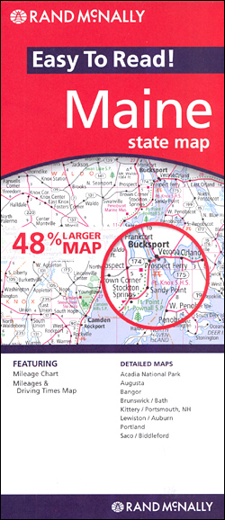
Maine Easy-to-Read map from Rand McNally, US leading publisher of road maps and street plans, in their extensive series of state maps. Additional panels provide enlargements for: Acadia National Park, Augusta, Bangor, Brunswick – Bath, Kittery – Portsmouth NH, Lewiston – Auburn, Portland and Saco – Biddleford.For clarity of road information Rand McNally state maps
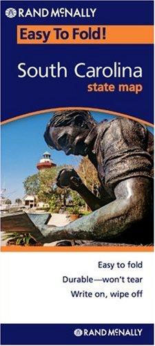
South Carolina Easy to Fold Rand McNally
Alabama on a laminated and waterproof Easy-to-Fold map from Rand McNally, the country’s leading publisher of road maps and street plans. For clarity of road information Rand McNally state maps present the road network on a plain background, with no or little topographic detail. Driving distances are indicated on all principal highways and on many
Georgia Easy to Fold Rand McNally

Georgia on a laminated and waterproof Easy-to-Fold map from Rand McNally, the country’s leading publisher of road maps and street plans. For clarity of road information Rand McNally state maps present the road network on a plain background, with no or little topographic detail. Driving distances are indicated on all principal highways and on many
Michigan Easy to Fold Rand McNally

Michigan on a laminated and waterproof Easy-to-Fold map from Rand McNally, the country’s leading publisher of road maps and street plans. For clarity of road information Rand McNally state maps present the road network on a plain background, with no or little topographic detail. Driving distances are indicated on all principal highways and on many
Pennsylvania Easy to Fold Rand McNally

Pennsylvania on a laminated and waterproof Easy-to-Fold map from Rand McNally, the country’s leading publisher of road maps and street plans. For clarity of road information Rand McNally state maps present the road network on a plain background, with no or little topographic detail. Driving distances are indicated on all principal highways and on many
Illinois Easy to Fold Rand McNally

Illinois on a laminated and waterproof Easy-to-Fold map from Rand McNally, the country’s leading publisher of road maps and street plans. For clarity of road information Rand McNally state maps present the road network on a plain background, with no or little topographic detail. Driving distances are indicated on all principal highways and on many
Wisconsin Easy to Fold Rand McNally

Wisconsin on a laminated and waterproof Easy-to-Fold map from Rand McNally, the country’s leading publisher of road maps and street plans. For clarity of road information Rand McNally state maps present the road network on a plain background, with no or little topographic detail. Driving distances are indicated on all principal highways and on many
Indiana Easy to Fold Rand McNally

Indiana on a laminated and waterproof Easy-to-Fold map from Rand McNally, the country’s leading publisher of road maps and street plans. For clarity of road information Rand McNally state maps present the road network on a plain background, with no or little topographic detail. Driving distances are indicated on all principal highways and on many
North Carolina Easy to Fold Rand McNally

North Carolina on a laminated and waterproof Easy-to-Fold map from Rand McNally, the country’s leading publisher of road maps and street plans. For clarity of road information Rand McNally state maps present the road network on a plain background, with no or little topographic detail. Driving distances are indicated on all principal highways and on
New York Easy to Fold Rand McNally
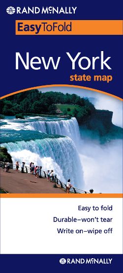
New York State on a laminated and waterproof Easy-to-Fold map from Rand McNally, the country’s leading publisher of road maps and street plans. For clarity of road information Rand McNally state maps present the road network on a plain background, with no or little topographic detail. Driving distances are indicated on all principal highways and
Oregon Easy to Fold Rand McNally

Oregon on a laminated and waterproof Easy-to-Fold map from Rand McNally, the country’s leading publisher of road maps and street plans. For clarity of road information Rand McNally state maps present the road network on a plain background, with no or little topographic detail. Driving distances are indicated on all principal highways and on many
Wisconsin Easy-to-Read Rand McNally

Wisconsin Easy-to-Read map from Rand McNally, US leading publisher of road maps and street plans, in their extensive series of state maps. Additional panels provide enlargements for Milwaukee and vicinity with a street plan of the downtown area, Appleton, Eau Claire, Green Bay, Janesville – Beloit area, Kenosha – Racine area, La Crosse, Madison, Oshkosh,
Washington Easy to Fold Rand McNally

Washington State on a laminated and waterproof Easy-to-Fold map from Rand McNally, the country’s leading publisher of road maps and street plans. For clarity of road information Rand McNally state maps present the road network on a plain background, with no or little topographic detail. Driving distances are indicated on all principal highways and on
West Virginia Easy-to-Read Rand McNally
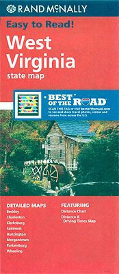
West Virginia Easy-to-Read map from Rand McNally, US leading publisher of road maps and street plans, in their extensive series of state maps. Coverage extends to Pittsburg in Pennsylvania. Additional panels provide enlargements for: Beckley, Charleston, Clarksburg, Fairmont, Huntington, Morgantown, Parkersburg, and Wheeling.For clarity of road information Rand McNally state maps present the road network
California Southern Easy to Fold Rand McNally

Southern California on a laminated and waterproof Easy-to-Fold map in a series of US state maps from Rand McNally, the country’s leading publisher of road maps and street plans. Coverage extends from San Diego to beyond Fresno, with an inset extending it northwards along the coast to San Jose. Also included is Las Vegas in
Alabama Easy-to-Read Rand McNally
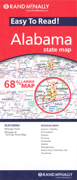
Alabama Easy-to-Read map from Rand McNally, US leading publisher of road maps and street plans, in their extensive series of state maps. Additional panels provide enlargements for Birmingham, Auburn – Opelika, Montgomery, Florence, Huntsville, Phoenix City – Columbus, GA, Tuscaloosa, Mobile and Dotham.For clarity of road information Rand McNally state maps present the road network
Nevada & Utah Easy to Fold Rand McNally

Nevada and Utah on a laminated and waterproof Easy-to-Fold map from Rand McNally, the country’s leading publisher of road maps and street plans. For clarity of road information Rand McNally state maps present the road network on a plain background, with no or little topographic detail. Driving distances are indicated on all principal highways and
New Jersey Easy-to-Read Rand McNally
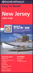
New Jersey Easy-to-Read map from Rand McNally, US leading publisher of road maps and street plans, in their extensive series of state maps. Additional panels provide enlargements for Newark – Jersey City and Vicinity, Long Brach, Camden – Philadelphia PA and Vicinity, Vineland – Millville, Cape May, Atlantic City and Trenton – Princeton.For clarity of
New Mexico Easy-to-Read Rand McNally
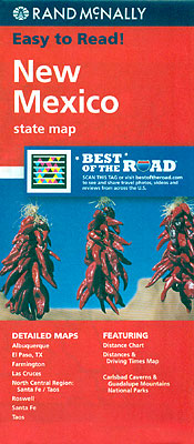
New Mexico Easy-to-Read map from Rand McNally, US leading publisher of road maps and street plans, in their extensive series of state maps. Additional panels provide enlargements of the North Central Region (Albuquerque – Santa Fe – Taos – Colorado border); the area around the Carlsbad Caverns NP – Guadeloupe Mountains NP in Texas; Albuquerque,
New Hampshire – Vermont Easy-to-Read Rand McNally

New Hampshire and Vermont Easy-to-Read map from Rand McNally, US leading publisher of road maps and street plans, in their extensive series of state maps. Additional panels provide enlargements for: Burlington, Concord, Manchester, Montpelier – Barre, Nashua, Portsmouth and Rochester.For clarity of road information Rand McNally state maps present the road network on a plain