Category Archives: Maps
The Yellow Jersey Club

The Yellow Jersey Club contains just twenty-six living members. To become one of this exclusive number requires complete dedication, brutal self-sacrifice and the most extraordinary physical attributes. Yet along with the ability to climb mountains, bomb along time trials and survive all the perils of the road, what really makes a Tour de France champion?
To Hell on a Bike: Riding Paris-Roubaix: the Toughest Race in Cycling

“Paris-Roubaix is the best race in the world and knocks spots off the Tour de France.” (Sir Bradley Wiggins). Paris-Roubaix. The Hell of the North. The ultimate monument in cycling`s Classics. More than 150 miles across dusty or muddy roads, much of it puncture-inducing and bone-breaking cobblestones. Even professional riders blanche at the very mention
Black Flags: The Rise of Isis
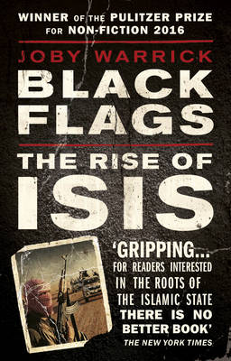
WINNER of the PULITZER PRIZE for NON-FICTION 2016. In a thrilling dramatic narrative, Pulitzer Prize-winning reporter Joby Warrick traces how the strain of militant Islam behind ISIS first arose in a remote Jordanian prison and spread to become the world`s greatest threat. When the government of Jordan granted amnesty to a group of political prisoners
The Unbearable Dreamworld of Champa the Driver
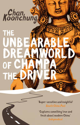
Sex, Lies, and Rocky Roads…Life is simple for Champa. He has a good job as a chauffeur in his hometown of Lhasa, and if his Chinese boss Plum is a little domineering, well, he can understand that – she`s a serious art-collector after all. And he does get to drive her huge Toyota. When he
Gweilo: Memories Of A Hong Kong Childhood

Martin Booth died in February 2004, shortly after finishing the book that would be his epitaph – this wonderfully remembered, beautifully told memoir of a childhood lived to the full in a far-flung outpost of the British Empire…An inquisitive seven-year-old, Martin Booth found himself with the whole of Hong Kong at his feet when his
Delaware & Maryland Easy to Fold Rand McNally
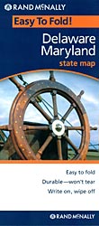
Delaware and Maryland on a laminated and waterproof Easy-to-Fold map from Rand McNally, the country’s leading publisher of road maps and street plans. For clarity of road information Rand McNally state maps present the road network on a plain background, with no or little topographic detail. Driving distances are indicated on all principal highways and
Hanging Hill

The Victim: A teenage girl has been brutally murdered on her way home from school. The cryptic message `all like her` is crudely written on her body. The Silence: The dead girl`s friends are deeply shocked and upset, but they all refuse to reveal anything about her last movements. Who are they protecting? And what
Virginia Easy to Fold Rand McNally

Virginia on a laminated and waterproof Easy-to-Fold map from Rand McNally, the country’s leading publisher of road maps and street plans. For clarity of road information Rand McNally state maps present the road network on a plain background, with no or little topographic detail. Driving distances are indicated on all principal highways and on many
Fear and Trembling
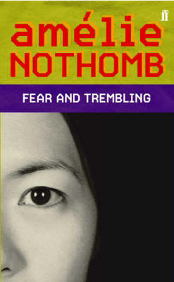
Amelie, a well-intentioned and eager young westerner, goes to Japan to spend a year working at the Yumimoto Corporation. Returning to the land where she was born is the fulfilment of a dream for Amelie, but working there turns into a comic nightmare of terror and self-abasement. Disturbing, hilarious and totally convincing Fear and Trembling
West Virginia Easy to Fold Rand McNally

West Virginia on a laminated and waterproof Easy-to-Fold map from Rand McNally, the country’s leading publisher of road maps and street plans. For clarity of road information Rand McNally state maps present the road network on a plain background, with no or little topographic detail. Driving distances are indicated on all principal highways and on
Where China Meets India
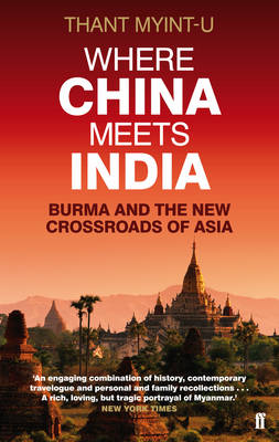
From their very beginnings, the civilizations of China and India have been walled off from each other, not only by the towering summits of the Himalayas, but also by the vast and impenetrable jungle, hostile tribes, and remote inland kingdoms that once stretched a thousand miles from Calcutta across Burma to the upper Yangtze River.
Massachusetts Easy to Fold Rand McNally
Massachusetts on a laminated and waterproof Easy-to-Fold map from Rand McNally, the country’s leading publisher of road maps and street plans. For clarity of road information Rand McNally state maps present the road network on a plain background, with no or little topographic detail. Driving distances are indicated on all principal highways and on many
The Baghdad Railway Club

Baghdad 1917. Captain Jim Stringer, invalided from the Western Front, has been dispatched to investigate what looks like a nasty case of treason. He arrives to find a city on the point of insurrection, his cover apparently blown – and his only contact lying dead with flies in his eyes. As Baghdad swelters in a
New England Easy to Fold Rand McNally

New England at 1:1,750,000 in Rand McNally’s Easy-to-Fold, waterproof and tear-resistant version as part of their series of regional road maps of United States. On one side is a map of the New England states including Maine and extending south to New York City. The map shows the region’s road network on a plain white
New Mexico Easy to Fold Rand McNally
New Mexico on a laminated and waterproof Easy-to-Fold map from Rand McNally, the country’s leading publisher of road maps and street plans. For clarity of road information Rand McNally state maps present the road network on a plain background, with no or little topographic detail. Driving distances are indicated on all principal highways and on
View From The Summit
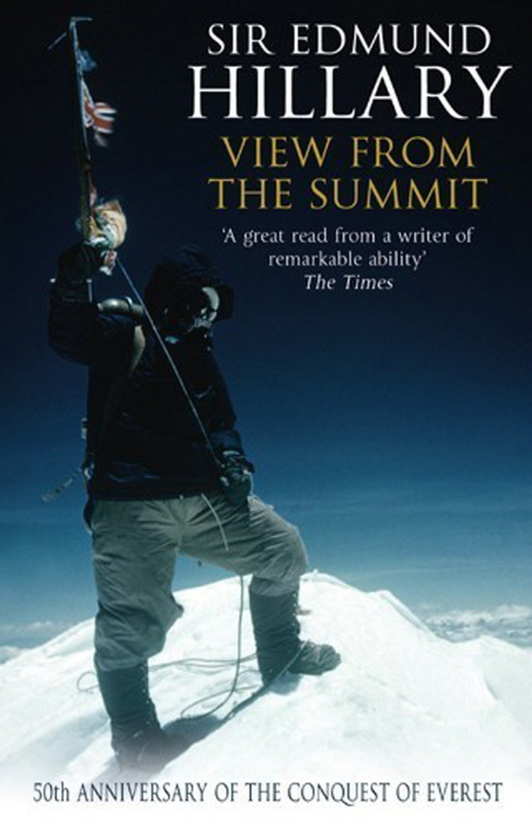
The first man to set foot on the summit of Everest, the man who led a team of tractors to the South Pole, the man who jetboated up the Ganges from the ocean to the sky has, for the first time, gathered all the remarkable adventures of a long life into one volume. But there
Darkside

It is freezing mid-winter on Exmoor, and in a close-knit community where no stranger goes unnoticed, a local woman has been found murdered in her bed. This is local policeman Jonas Holly`s first murder investigation. But he is distracted by anonymous letters, accusing him of failing to do his job. Taunted by the killer and
Indiana Easy to Fold Rand McNally
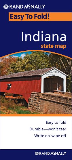
Indiana on a laminated and waterproof Easy-to-Fold map from Rand McNally, the country’s leading publisher of road maps and street plans. For clarity of road information Rand McNally state maps present the road network on a plain background, with no or little topographic detail. Driving distances are indicated on all principal highways and on many
North Carolina Easy to Fold Rand McNally
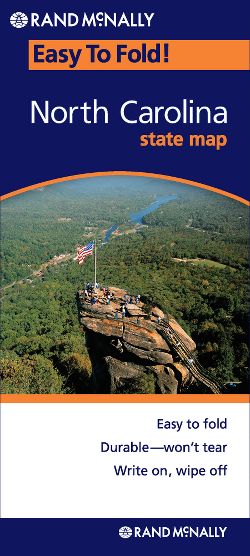
North Carolina on a laminated and waterproof Easy-to-Fold map from Rand McNally, the country’s leading publisher of road maps and street plans. For clarity of road information Rand McNally state maps present the road network on a plain background, with no or little topographic detail. Driving distances are indicated on all principal highways and on
New York Easy to Fold Rand McNally
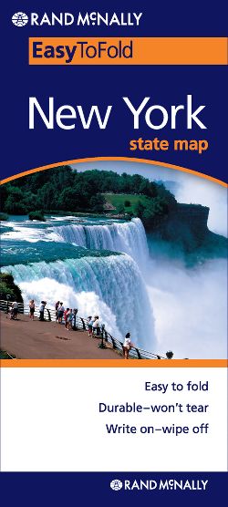
New York State on a laminated and waterproof Easy-to-Fold map from Rand McNally, the country’s leading publisher of road maps and street plans. For clarity of road information Rand McNally state maps present the road network on a plain background, with no or little topographic detail. Driving distances are indicated on all principal highways and