Category Archives: Maps
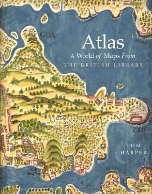
Atlas: A World of Maps from the British Library
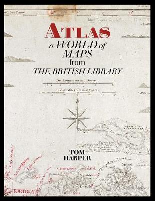
The British Library`s map collection is the national cartographic collection of Britain and numbers around four million maps dating from 15 CE to 2017 CE. These include road maps drawn for 13th century pilgrims and sea charts for 17th-century pirates. They include the first printed map to show the Americas and the last to show
Atlas: A World of Maps from the The British Library
From the publication in 1595 of the first `atlas` by the Flemish cartographer Gerhard Mercator, the term has become a universally adopted title for books containing accurate, uniform and evenly spread maps of all or some of the world. This is an atlas with a difference. Few of the maps in this book could reasonably
Mozambique and Malawi
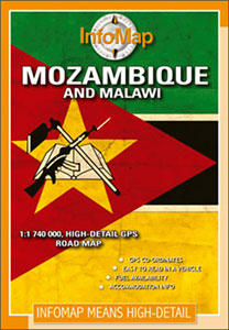
Mozambique on a double-side road map from South African publishers International Motoring Productions with GPS waypoints for selected road junctions, small towns or settlements, places of interest and recommended accommodation.The map, one of a series of similar maps covering countries and selected regions of southern Africa, has rather simple cartography with somewhat basic elevation tinting,
Serengeti – Photographic Checklist Map
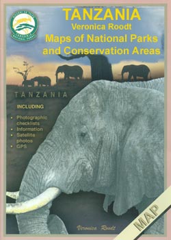
Serengeti National Park at 1:400,000 on a map from Veronica Roodt Publications presenting the area on a base derived from satellite imagery. Extra panels provide additional information for visitors including numerous enlargements.On one side is a map of the whole park showing its network of roads and tracks for viewing animals. A panel provides GPS
Botswana Tourist Map
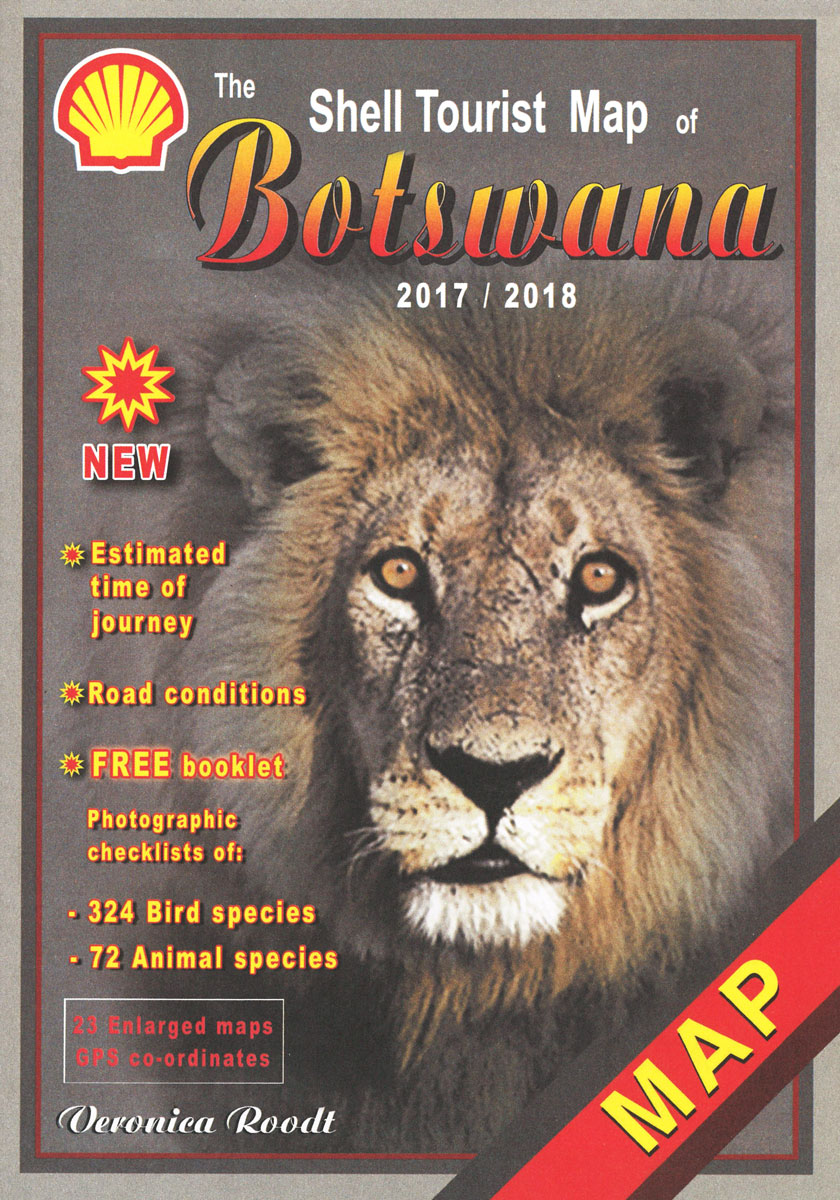
Shell Tourist Map of Botswana at 1:1,750,000 from Veronica Roodt Publications with enlargements for all the country’s most visited areas annotated with lists of numerous GPS waypoints for accommodation, road junctions and other important features.Road information indicates different types of roads from main tarred routes to 4WD tracks and wilderness trails. Intermediate driving distances given
NP21 Bay of Bengal Pilot
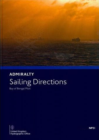
Bay of Bengal Pilot (NP 21)ย in the British Admiralty Sailing Directions series. It covers the East Cost of India north of Point Calimere, the Coast of Bangladesh, the Coast of Burma, the West Coast of Thailand from Pakchan River to Chong Pak Phra, the Andaman Islands and the Nicobar Islands.Piloto de la Bahรญa de Bengala
100km around Cape Town
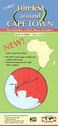
100km Around Cape Town map at 1:150,000 from the locally based Cabex, printed on light, waterproof and tear-resistant plastic paper with on the reverse popular Winelands areas shown with individual wineries, accommodation, etc.On one side is a map at 1:150,000 covering the 150km radius from Cape Town. Coverage extends north to Darling, north-east to Ceres,
Alice Springs to Uluru (Ayers Rock)
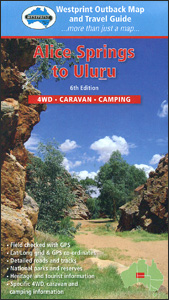
Alice Springs with the MacDonnell Ranges, Uluru (Ayers Rock), and the adjoining areas of South Australia and Western Australia states on a road map at 1:1,000,000 annotated with 40 places of interest, plus on the reverse their descriptions and more detailed mapping of the MacDonnell Ranges at 1:750,000.On one side the main road map at
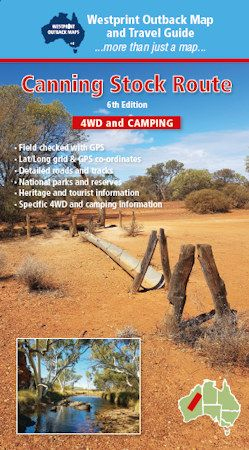
Canning Stock Route
The Gulf Country spanning the western coastline of Queensland and the north-eastern part of Northern Territory on a GPS compatible map at 1:1,500,00 from Westprint, with on the reverse descriptions of the region’s 34 best sights plus other useful tourist information. Coverage extends from the south-western coast of Cape York to Katherine in the north-western
Gulf Country QLD/NT
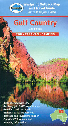
The Gulf Country spanning the western coastline of Queensland and the north-eastern part of Northern Territory on a GPS compatible map at 1:1,500,00 from Westprint, with on the reverse descriptions of the region’s 34 best sights plus other useful tourist information. Coverage extends from the south-western coast of Cape York to Katherine in the north-western
Hotels of Pyongyang

Despite being one the world`s most authoritarian and isolated countries, North Korea`s doors remain open to tourists, who spend downtime in Pyongyang`s architecturally beguiling hotels, dining in grand banquet halls, belting out numbers in kitsch karaoke rooms, and taking in the evening view from one of the revolving restaurants. Asia specialist and podcast host James
Adelaide Hills & Barossa SA
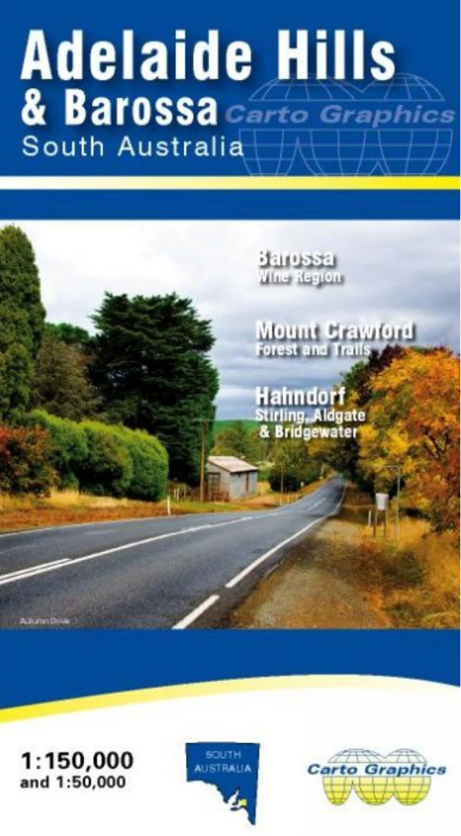
Adelaide Hills and Barossa Wine Region of South Australia on an indexed road map from the Australian publishers Carto Graphics combining coverage of the whole region at 1:150,000 with more detailed panels showing the most visited areas, plus a list of local vineries.The main map covers the whole region at 1:150,000 extending south of Adelaide
The Summits of Modern Man
The history of mountaineering has long served as a metaphor for civilization triumphant. Once upon a time, the Alps were an inaccessible habitat of specters and dragons, until heroic men–pioneers of enlightenment–scaled their summits, classified their strata and flora, and banished the phantoms forever. A fascinating interdisciplinary study of the first ascents of the major
Barrington Atlas of the Greek and Roman World
In 102 full-color maps spread over 175 pages, the Barrington Atlas re-creates the entire world of the Greeks and Romans from the British Isles to the Indian subcontinent and deep into North Africa. It spans the territory of more than 75 modern countries. Its large format (13 1/4 x 18 in. or 33.7 x 46.4
Lost Enlightenment: Central Asia`s Golden Age from the Arab Conquest to Tamerlane
In this sweeping and richly illustrated history, S. Frederick Starr tells the fascinating but largely unknown story of Central Asia`s medieval enlightenment through the eventful lives and astonishing accomplishments of its greatest minds–remarkable figures who built a bridge to the modern world. Because nearly all of these figures wrote in Arabic, they were long assumed
Making the Arab World: Nasser, Qutb, and the Clash That Shaped the Middle East
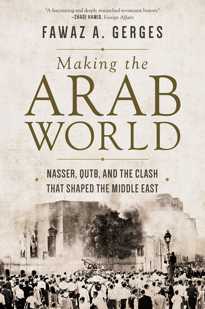
How the conflict between political Islamists and secular-leaning nationalists has shaped the modern Middle EastIn `Making the Arab World`, Fawaz Gerges, one of the world`s leading authorities on the Middle East, describes how the clash between pan-Arab nationalism and pan-Islamism has shaped the history of the region from the 1920s to the present. He tells
Iran Rising: The Survival and Future of the Islamic Republic
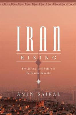
On the fortieth anniversary of the 1978-79 Iranian revolution, a definitive political picture of the Islamic RepublicWhen Iranians overthrew their monarchy, rejecting a pro-Western shah in favor of an Islamic regime, many observers predicted that revolutionary turmoil would paralyze the country for decades to come. Yet forty years after the 1978-79 revolution, Iran has emerged
Learning to Make an Oud in Nazareth

`Making is our defence against the dark…` Through images of conflict and craftsmanship, Ruth Padel`s powerful new poems address the Middle East, tracing a quest for harmony in the midst of destruction. An oud, the central instrument of Middle Eastern music , is made and broken. An ancient synagogue survives attacks, a Palestinian boy in