Category Archives: Maps
Dalmatia – Istria
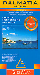
Eastern Adriatic coast from Trieste and Istria to Dubrovnik and Montenegro presented at 1:250,000 on an indexed map from Gizi Map, with bold altitude colouring to show its topography, ferry connections, campsites, etc.The map covers the coast of Croatia on two panels, extending south to Ulcinj to include most of the cost of Montenegro. Bold
Libya Gizi Road Map
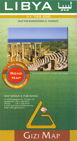
Libya at 1:1,750,000 on an indexed road map from Gizi Map with exceptionally fine and detailed presentation of its physical geography, oil and gas wells and pipelines, water aqueducts, ancients sites and other places of interest, etc. Names of larger towns and selected smaller locations, as well as of many topographic features are also shown
Lake Balaton II West Cartographia Water Sports & Cycling Map
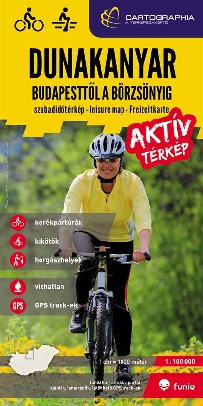
Lake Balaton (90K)in a series of contoured hiking and recreational maps from the Budapest based Cartographia, with hiking routes and other tourist information, including in many titles street plans, cycling trails, etc. The maps have contours at 10m intervals with relief shading and spot heights, plus colouring and/or graphics to indicate different types of vegetation.
Croatia – Montenegro Coast Cartographia 2-Map Set
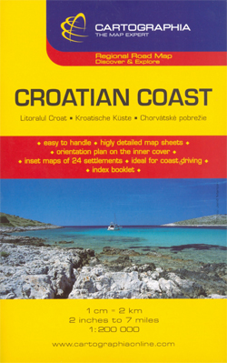
The Adriatic Coast of Croatia and Montenegro, from Trieste and Istria to the Albanian border at 1:160,000 on a set of two separate maps with numerous street plans of central areas in its towns and holiday resorts, plus a separate booklet.The whole coastline is presented on two double-sided maps with, where appropriate, some of the
Bulgaria Cartographia Road Map
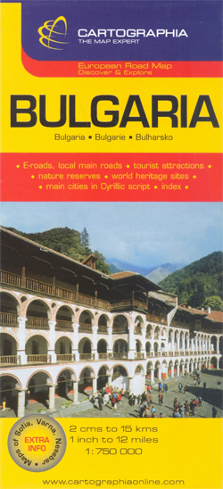
Bulgaria on an indexed road map at 1:750,000 from the Budapest based Cartographia highlighting the country’s picturesque locations. Additional street plans show central Sofia, Varna and Nesebar. All place names are in Latin alphabet, with names of main towns also given in Cyrillic script.The map clearly shows the country’s topography by relief shading, with plenty
Serbia – Montenegro – Bosnia-Herzegovina – Macedonia – Kosovo
Good road detail and tourist information such as the location of national parks, monasteries, mosques, monuments, spas, passes, steep ascents, scenic roads. On the reverse of the sheet is an index of place names. The key to symbols on the map is in English, German, French, Serbian, Macedonian and Hungarian.
Secuimea Szekelyfold Cartographia Road Map
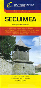
Secuimea on an indexed road map at 1:250,000 from Cartographia, providing coverage of central and eastern parts of Transylvania, from Cluj Napoca and Alba Iulia eastward, with coverage extending south to Sibiu and Brasov. The map has contours at 100m intervals, plus spot heights, names of mountain ranges and colouring for forested areas. Road network
Slovakia

Slovakia on an indexed road map at 1:500,000 from the Budapest-based Cartographia, prominently highlighting interesting locations and national parks, plus an enlargement showing Tatra Mountain in greater detail and a street plan of central Bratislava. Coverage extends north to Krakรณw to cover the Polish side of the Tatras and their foothills.Road network, graded into six
Libya
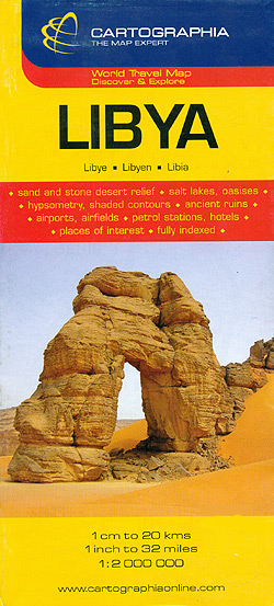
General map with plans of Tripoli and Benghazi, an enlargement for the environs of the capital, and an administrative map of the country. The map does not cover the whole of Libya, but only the coastal area and the western part of the country, extending south to just beyond 26ยบ (i.e. most of Marzuk and
Ukraine – Belorussia – Moldova
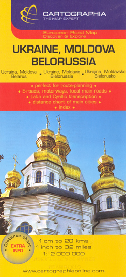
Ukraine, Belorussia and Moldova at 1:2,000,000 from the Budapest based Catrographia on a useful overview road map providing coverage from Warsaw to Moscow and from St. Petersburg to the Crimea.Where appropriate all names of towns and villages are shown in both Cyrillic and Latin alphabets. Names of geographical features such as mountain ranges, peaks and
Sarawak Odyssey Map

Malaysian province of Sarawak on the north-western side of Borneo at 1:800,000 on a double-sided map, with extensive text accompanied by colour photos providing additional tourist information. The whole province is shown on each side of the map, but with shading and/or colouring emphasising on one side the topography and on the reverse the vegetation.
Cambodia – the Khmer Legacy Odyssey Illustrated Map
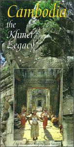
Cambodia at 1:1,000,000 on a map/guide from Odyssey Books with extensive text accompanied by colour photos describing the country’s 19 main tourist attractions, including temples, beaches, wildlife and nature, etc.The map shows the network of main road and rail connections, plus regional airports. Relatively fewer smaller towns and villages are marked than on other maps
Inle Lake Odyssey Map
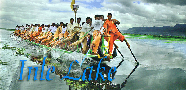
Inle Lake in central Burma / Myanmar on a double-sided map from Odyssey Books presenting the lake area at 1:40,000 and a wider region around it at 1:150,000, with highlighting for sights and tourist accommodation, plus descriptions and photos.On one side Inle Lake and its immediate surroundings, including the town of Nyaung Shwe, is presented
Yangon & Myanmar (Burma) Odyssey Map

Yangon (Rangoon) street plan at 1:24,000 from Odyssey Books with on the reverse a road map of Burma/Myanmar at 1:2,150,000, both with informative descriptions and colour photos of places of interest highlighted on them and various aspects of the country.On one side is a street plan of Yangon showing locations of numerous hotels, as well
Retezat Mountains Dimap Hiking Map

Retezat Mountains at 1:50,000 in a series of detailed contoured maps covering popular hiking areas of Transylvania published by Dimap, one of Hungary’s leading publishers specializing in mapping of that region. The maps show local hiking routes and provide tourist information such as campsites, places of interest, etc. Many titles include street plans and/or English
Caucasus Geographical Gizi Map
The Caucasus at 1:1,000,000 from Gizi Map, presenting the region in a geographical edition with bright altitude coloring to show its topography. Coverage includes the southern republics of Russia. International boundaries are clearly marked. Within Georgia the map indicates the boundaries of South Ossetia, Abkhazia and Adjara; in Azerbaijan the border of Nagorno Karabach and
Apuseni Mountains

Apuseni Mountains, the north-western part of Transylvania, at 1:200,000 on a detailed contoured road map from Dimap, with city centre plans of five local towns, plus extensive tourist notes including sightseeing routes.Contour lines and spot heights indicate the relief, with colouring and graphics for forests, orchards and vineyards. Nature reserves and other protected areas are
Kazakhstan Political Gizi Map
Kazakhstan at 1:3,000,000 from Gizi Map in a political edition with different background colouring for all the countries covered by the map, an index of localities on the reverse, plus a street plan of Astana showing locations of important buildings, hotels, etc.The map provides good coverage of the adjoining regions, extending well beyond Kazakhstan’s borders
China Northwest Gizi Map
North-Western China in a series of five indexed maps at 1:2,000,000 from Gizi Map with attractive presentation of the country`s varied topography. Bold altitude colouring, with spot heights and names of mountain ranges and other geographical features, provides an excellent picture of the terrain. The maps in this series show various categories of roads including
Tibet Gizi Road Map
Tibet at 1:2,000,000 on an indexed map from Gizi Map presenting the region with relief shading to show its topography. Names of many settlements are shown in two or three versions: in the Latin alphabet transliteration of the Chinese and the Tibetan versions, plus for larger places also in Chinese.Coverage of Tibet at 1:2,000,000 is


