Category Archives: Maps
Australia UBD Gregory`s Touring Atlas A3
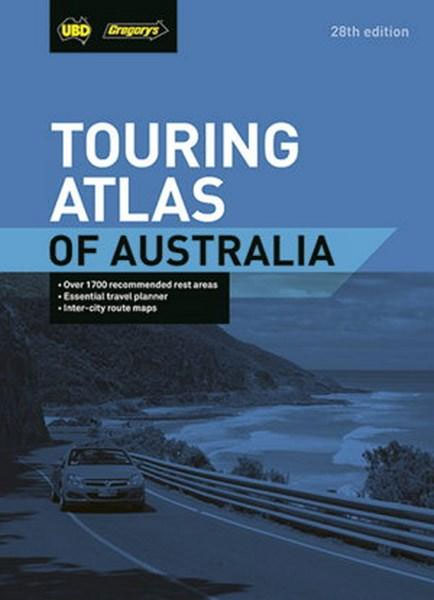
Touring Atlas of Australia in an A3 paperback format, one of versions from UBD Gregory`s series of road atlases of the country. Arranged by state, scales of the road mapping vary according to the size of the state and each state is accompanied by a main roads street plan and an environs road map of
Gippsland Discovery – Wilsons Promontory VIC UBD Gregory`s 386
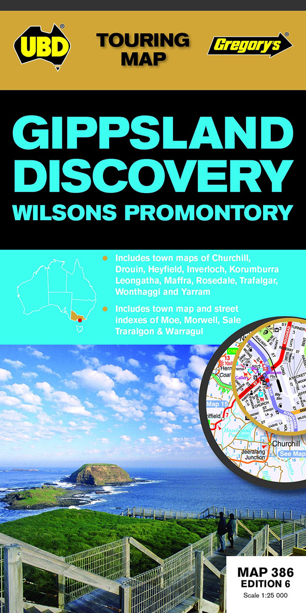
Gippsland Discovery and Wilsons Promontory area of Victoria on a touring map from UDB Gregory’s. Coverage extends to Buxton in the north, Wilsons Promontory in the south, Heyfield in the east and Craigieburn in the west. This title includes a map of the Phillip Island with street maps of Smiths Beach, Cowes, Newhaven, San Remo
Blue Mountains Suburban Streets UBD Gregory`s 290
Brisbane Suburbs and City Centre map from UBD Gregory’s, combining a detailed, indexed street plan of the centre with a map of the city with its suburbs and the surrounding area, plus extensive tourist information,Half of one side is taken by a detailed, indexed street plan at 1:5,000 of the city centre (CBD) including the
Ballarat – Grampians & Spa Country VIC UBD Gregory`s 382
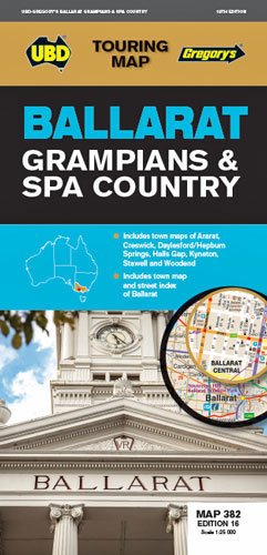
Regional touring map covering Harcourt Campbells Bridge in the north, Cressy in the south, Romsey in the east Wartook Dunkeld in the west Map street index of Ballarat and town maps of Ararat, Daylesford Hepburn Springs, Halls Gap, Kyneton, Stawell Woodend.
Brisbane UBD Gregory`s City Pocket 460
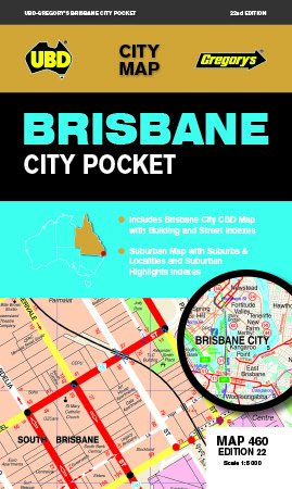
Brisbane City Pocket Map from UBD Gregory’s combining a very detailed street plan of the city’s inner districts with a road map of its suburbs. On one side a detailed, indexed street plan of the central districts at 1:5,000 names various important buildings and facilities including hotels and motels, shows streets with selected house numbers,
Port Stephens NSW UBD Gregory`s 295
Port Stephens area of New South Wales on a touring maps from UDB Gregory’s, with an indexed street plan of Nelson Bay, plus town maps of Hawkes Nest-Tea Gardens, Karuah, Raymond Terrace and Tilligerry Peninsula.To see other titles in this series of touring maps from UBD Gregory’s please click on the series link.
Newcastle Suburban Streets NSW UBD Gregory`s 280
Newcastle Suburban Streets map from UBD Gregory’s combining a street map showing the town at 1:25,000 and a regional map of Newcastle to Hunter Valley, both indexed.To see a list of other street plans and directories from UBD Gregory`s please click on the series link.
South Australia State & Suburban UBD Gregory`s 570
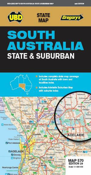
South Australia ‘State and Suburban” map from UBD Gregory’s providing coverage of the whole state at 1:1,900,000 with an index of places, plus an indexed road map of the suburbs of Adelaide.Maps in this series from UBD Gregory’s present Australia’s states as ‘State and Suburban” titles with a map showing suburbs of the state capital,
Adelaide UBD Gregory`s City Pocket 560
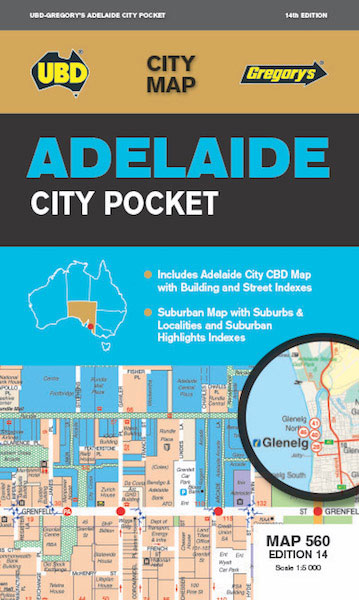
City map of Adelaide by UBD Gregory`s in handy pocket size.Fully revised and updated. Suburban coverage north to Elizabeth & Williamstown, south to Noarlunga Centre & Mt Barker.Includes a suburbs & localities index and a list of suburban highlights.
New South Wales State & Cities UBD Gregory`s 219
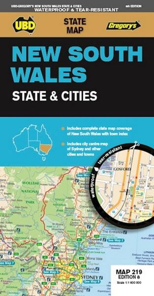
New South Wales on a waterproof and tear-resistant ‘State and Cities” map from UBD Gregory’s providing coverage of the whole state at 1:1,600,000 with an index of places, plus a city centre street plan of Sydney and plans of several other local towns.Maps in this series from UBD Gregory’s present Australia’s states as ‘State and
Sydney City Streets & Suburbs UBD Gregory`s 262
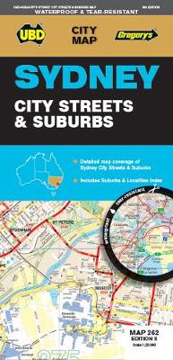
Sydney City Streets and Suburbs, a waterproof and tear-resistant, double-sided map from UBD Gregory’s combining a street plan of the city with its inner suburbs with, on the reverse, a map of the wider environs.On one side is a street plan covering Sydney at 1:25,000. Coverage extends south to Botany Bay and north to Killarney
Melbourne UBD Gregory`s City Pocket 360
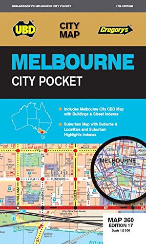
Melbourne City Pocket Map from UBD Gregpry’s combining street plans of Melbourne’s CDB districts, indexed for streets and selected buildings/institutions, with on the reverse a road map of the city with its outer suburbs.On one side is a very detailed street plan of the city’s Central Business District, extending south to the Government House. The
South-West Western Australia UBD Gregory`s 682
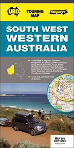
South-western Western Australia on a touring map at 1:500,000 from UBD Gregory’s, extending from Lake Preston north of Bunbury to Chatham Island. Street plans show Augusta, Australiad Boyanup, Boyanup Brook, Bridgetown, Brunswick Junction, Bunbury, Busselton, Capel, Collie, Donnybrook, Dunsborough – Quindalup, Eagle Bay, Greenbushes, Manjimup, Margaret River, Nannup, Pemberton, Prevelly, and Yallingup.To see other titles
World Down Under Political – Physical Map UBD Gregory`s
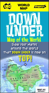
The world upside down as seen from the Down Under: a map of the world from the Australian publishers UBD Gregory’s showing on one side a political version and on the reverse a physical map. Both maps are Pacific centred, so Australia and New Zealand are on top and in the centre. On one side
Australia UBD Gregory`s 149 wall map POD
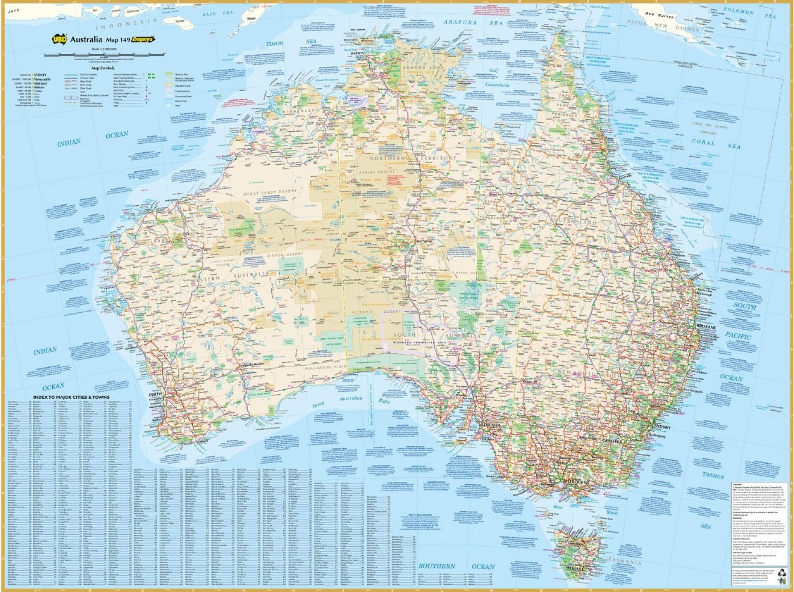
This clear and easy to read map of Australia in a Lamberts conformal conic projection, features major cities & towns with a population index for easy reference. Roads include distances between towns, route numbering, national parks & reserves and much more.Published 2015
Sydney & North Sydney UBD Gregory`s City Pocket 260
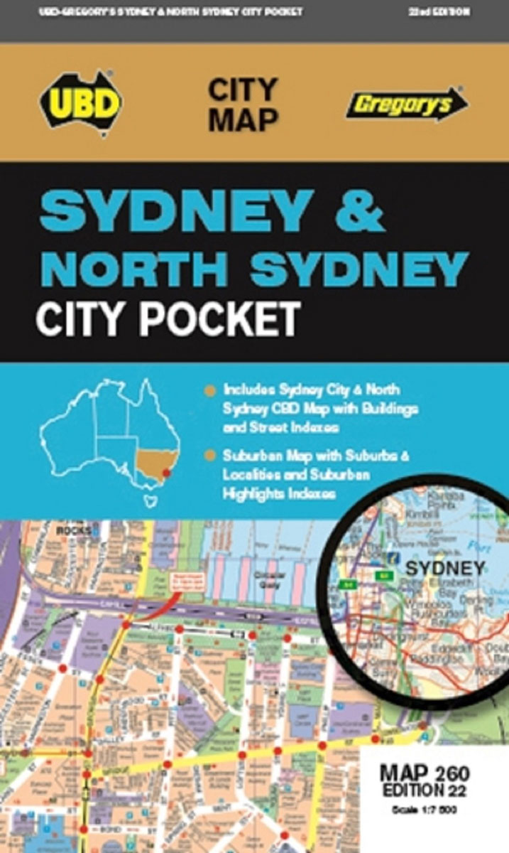
Sydney and North Sydney City Pocket Map from UBD Gregpry’s combining street plans of Sydney’s and North Sydney’s CDB districts, indexed for streets and selected buildings/institutions, with a road map of the city with its outer suburbs.On one side is a street plan of the city’s Central Business District, extending south just beyond the central
Central Coast Suburban Streets NSW UBD Gregory`s 289
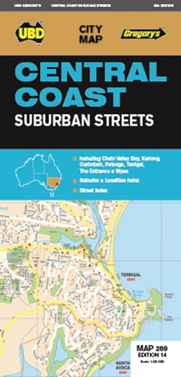
Central Coast of New South Wales Suburban Streets map from UBD Gregory’s at 1:25,000 with coverage including Chain Valley Bay, Ourimbah, Kariong, Patonga, Terrigal, The Entrance and Wyee. The map is indexed and highlight various facilities and places of interest.To see a list of other street plans and directories from UBD Gregory`s please click on