Category Archives: Maps
Lyme Bay 25K AA/OS Walker`s Map No. 11
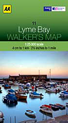
Lyme Bay at 1:25,000 in a series of Walker’s Maps published by the AA with the cartography from the Ordnance Survey’s Explorer series. Coverage includes Lyme Regis, Axmouth, Seaton, Shute, Axminster, Yarcombe, Chard, Crewkerne, Mosterton, Beaminster, Bridport, West Bay, etc.Maps in the AA Walker’s series are identical to the OS Explorer maps and provide plenty
North York Moors East 25K AA/OS Walker`s Map No. 12
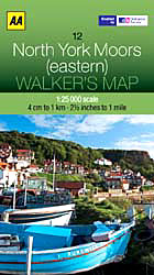
The eastern part of the North Yorkshire Moors at 1:25,000 in a series of Walker’s Maps published by the AA with the cartography from the Ordnance Survey’s Explorer series. The map is double-sided and coverage includes the North Yorks Moors National Park, Scarborough, Robin Hood’s Bay, Whitby, Lythe, Staithes, Loftus, Goathland, Newton-on-Radcliffe, Lockton, Pickering, etc.Maps
Brisbane Suburbs & City Centre UBD Gregory`s 418
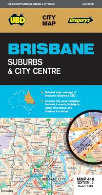
Brisbane Suburbs and City Centre map from UBD Gregory’s, combining a detailed, indexed street plan of the centre with a map of the city with its suburbs and the surrounding area, plus extensive tourist information,Half of one side is taken by a detailed, indexed street plan at 1:5,000 of the city centre (CBD) including the
North York Moors West AA Walker`s Map 19
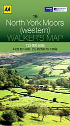
The western part of the North York Moors at 1:25,000 in a series of Walker’s Maps published by the AA with the cartography from the Ordnance Survey’s Explorer series. The map is double-sided and coverage includes North York Moors National Park, Middlesbrough, Salturn-by-the-Sea, Guisboroughm Stokesley, Castleton, Seave Green, Hutton-le-Hole, Hawnby, Kirkbymoorside, Helmsley, Ampleforth, etc.Maps in
Snowdon & The Conway Valley AA Walker`s Map 4
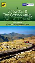
Snowdon and the Conwy Valley at 1:25,000 in a series of Walker’s Maps published by the AA with the cartography from the Ordnance Survey’s Explorer series. The map is double-sided and coverage includes parts of the New Forest National Park, Bangor, Caernarfon, Llanberis, Llanwnda, Rhyd-Ddu, Batws-y-Coed, Capel Curig, Tal-y-Bont, Llanfairfechan, Conwy. Llandudno, Colwyn Bay, etc.Maps
Generalissimo: Chiang Kai-shek and the China He Lost
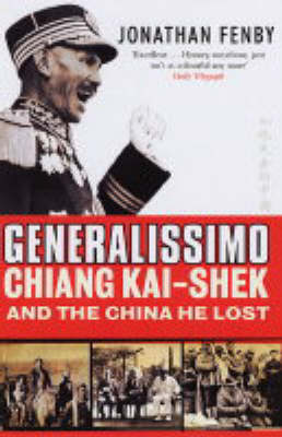
Chiang Kai-shek was the man who lost China to the Communists. As leader of the nationalist movement, the Kuomintang, Chiang established himself as head of the government in Nanking in 1928. Yet although he laid claim to power throughout the 1930s and was the only Chinese figure of sufficient stature to attend a conference with
Europe AA Route Planner
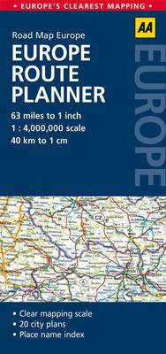
Europe on a double-sided indexed route planning map from the AA at 1:4,000,000, prominently highlighting locations worth visiting, plus 17 enlargements showing in greater detail road access to main cities. The Continent is divided so that UK and Ireland are shown on one side with northern Europe including the whole of Scandinavia; on the reverse
Six Days: How the 1967 War Shaped the Middle East
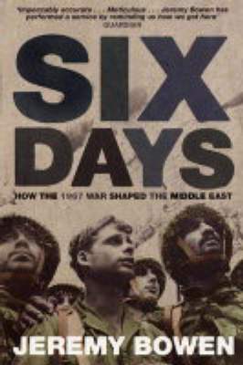
The Six-Day War was an extraordinary human drama. It swept up a generation of Israelis and Arabs whose children still cannot live peacefully in the world the war created. Today, Israel is the superpower of the region. It has nuclear weapons but has never been able to digest the land it swallowed in 1967. However
Languedoc-Roussillon
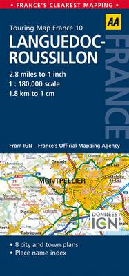
Languedoc-Roussillon at 1:180,000 in a series of double-sided, indexed road maps of French regions from the AA with cartography from the Insitut Gรฉographique National (IGN). Small plans show main streets and principal routes across Millau, Rodez, Alรจs and Nรฎmes.Cartography is identical to IGN’s own regional series at 1:250,000, simply enlarged without additional information. Detailed mapping
Children`s Picture Atlas
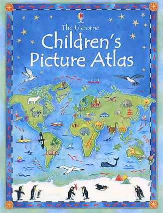
Usborne’s beautifully illustrated Children’s Picture Atlas is a wonderfully unique way to take your children on a magical journey around the world. Each continent is depicted by a map covered with little pictures and crammed with fascinating details to pore over and talk about, making this a wonderful book to share.The ideas of mapping and
See Inside: Planet Earth

See Inside Planet Earth is a brilliant fun-packed flap book that delves deep into the mysteries of the geography of our planet. Each page is covered with flaps that reveal and explain the Earth`s structure, climate and environments, from desert to arctic tundra, and includes sections revealing the problems of climate change and ways to
Never Far from Nowhere

A passionate and perceptive story full of the pain and the humour of growing up, from Andrea Levy, author of the Orange Prize winning SMALL ISLAND and the Man Booker shortlisted THE LONG SONG. NEVER FAR FROM NOWHERE is the story of two sisters, Olive and Vivien, born in London to Jamaican parents and brought
P&O: A History

?From humble beginnings in the 1830s, The Peninsular & Oriental Steam Navigation Company grew to dominate British mercantile shipping for much of the nineteenth and twentieth centuries. Initially, the company`s paddle steamers carried Her Majesty`s Mail to the Iberian Peninsula, as the name implies, but over time P&O extended its routes across the Mediterranean and
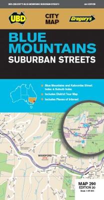
Blue Mountains Suburban Streets UBD Gregory`s 290
Brisbane Suburbs and City Centre map from UBD Gregory’s, combining a detailed, indexed street plan of the centre with a map of the city with its suburbs and the surrounding area, plus extensive tourist information,Half of one side is taken by a detailed, indexed street plan at 1:5,000 of the city centre (CBD) including the
Ballarat – Grampians & Spa Country VIC UBD Gregory`s 382
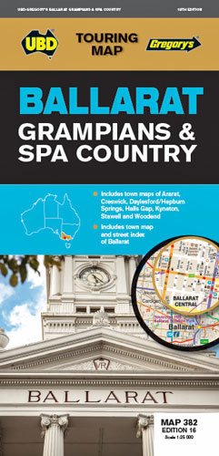
Regional touring map covering Harcourt Campbells Bridge in the north, Cressy in the south, Romsey in the east Wartook Dunkeld in the west Map street index of Ballarat and town maps of Ararat, Daylesford Hepburn Springs, Halls Gap, Kyneton, Stawell Woodend.
Brisbane UBD Gregory`s City Pocket 460
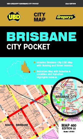
Brisbane City Pocket Map from UBD Gregory’s combining a very detailed street plan of the city’s inner districts with a road map of its suburbs. On one side a detailed, indexed street plan of the central districts at 1:5,000 names various important buildings and facilities including hotels and motels, shows streets with selected house numbers,
Port Stephens NSW UBD Gregory`s 295
Port Stephens area of New South Wales on a touring maps from UDB Gregory’s, with an indexed street plan of Nelson Bay, plus town maps of Hawkes Nest-Tea Gardens, Karuah, Raymond Terrace and Tilligerry Peninsula.To see other titles in this series of touring maps from UBD Gregory’s please click on the series link.
Newcastle Suburban Streets NSW UBD Gregory`s 280
Newcastle Suburban Streets map from UBD Gregory’s combining a street map showing the town at 1:25,000 and a regional map of Newcastle to Hunter Valley, both indexed.To see a list of other street plans and directories from UBD Gregory`s please click on the series link.