Category Archives: Maps
The Rocks of Wales – BGS Geological Map of Wales
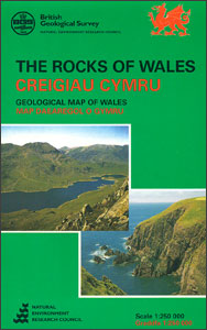
Solid geology map of Wales at 1:250,000 from the British Geological Survey. This is a 2005 reprint of the 1st edition of this map originally published by BGS in 1994. The map is designed to show principal chronostratigraphical divisions (age) down to ‘Series’ level by colour, and, where possible, gross lithology by ornamented overprint. The
Londonist Mapped
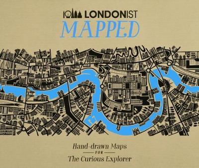
Winner of the Destinations Show Photography & Illustrated Travel Book of the Year at the Edward Stanford Travel Writing Awards 2018Londonist is about London and everything that happens in it – and now it`s mapped. The city at your fingertips, brought to life by an eclectic group of illustrators. Whether you`re looking for something new
Britain AA Trucker`s Atlas A3 SPIRAL-BOUND

Fully updated for 2020, the atlas includes truck and freight ferry routes and port plans, route planner map, quick reference distance chart and an explanatory list of restricted motorway junctions. Additionally there is a 12-page section of London street mapping with height, width and weight restrictions clearly marked, as well as large scale district maps
The Battle for Singapore: The True Story of the Greatest Catastrophe of World War II
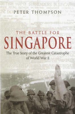
The true story of the `the greatest defeat and largest capitulation` in British military history. The Fall of Singapore on 15 February 1942 is a military disaster of enduring fascination. For the 60th anniversary of the liberation of the island, Peter Thompson tells the explosive story of the Malayan campaign, the siege of Singapore, the
Geological Map 1815 William Smith
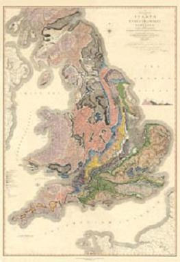
Original Title: A Delineation of the Strata of England and Wales with part of Scotland; exhibiting the collieries and mines, the marshes and fen lands originally overflowed by the sea, and the Varieties of Soil according to the variations in the Substrata, illustrated by the most Descriptive Names by W Smith.William Smith`s famous 1815 geological
Everest Pioneer (photographs of…)

Capturing the drama and tragedy of the 1922 and 1924 expeditions on Everest the first to venture upon the highest mountain on earth, Everest Pioneer features the best of the pictures of Captain John Noel, official photographer to the expeditions.
Everest Revealed: The Private Diaries and Sketches of Edward Norton, 1922-24
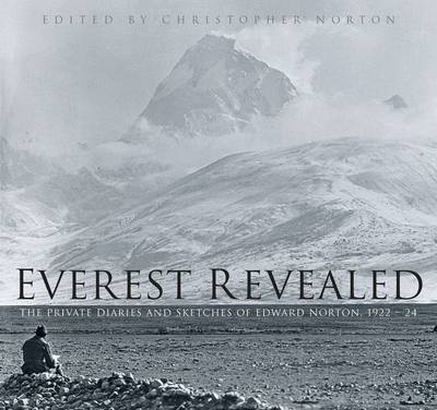
E.F. (`Teddy`) Norton was a member of the 1922 Everest expedition and the leader of the 1924 expedition. Generally considered to be one of the finest climbers of his generation, in 1924 he reached a height of 28,126ft without oxygen, a record that stood for fifty-four years. A few days later, Norton`s fellow climbers Mallory
The Retribution

There is one serial killer who has shaped and defined police profiler Tony Hill`s life. One serial killer whose evil surpasses all others. One serial killer who has the power to chill him to the bone: Jacko Vance. And now Jacko is back in Tony`s life. Even more twisted and cunning than ever before, he
Cross and Burn

Someone is brutally killing women. Women who bear a striking resemblance to former DCI Carol Jordan. The connection is too strong to ignore and soon psychological profiler Tony Hill finds himself dangerously close to the investigation, just as the killer is closing in on his next target. This is a killer like no other, hell-bent
Eastbourne & Beachy Head AA Walker`s Map 30
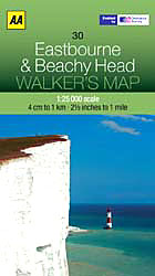
Eastbourne and Beachy Head at 1:25,000 in a series of Walker’s Maps published by the AA with the cartography from the Ordnance Survey’s Explorer series. Coverage includes Seven Sisters and the Cuckmere Haven, the start of the South Downs Way, Seaford, Newhaven, Alfriston, Firle, Glynde, Ringmer, Uckfield, Buxted, Heathfield, Herstmonceux, Hailsham, Pevensey and the Pevensey
Exmoor AA Walker`s Map 13
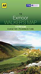
Exmoor at 1:25,000 in a series of Walker’s Maps published by the AA with the cartography from the Ordnance Survey’s Explorer series. The map is double-sided and coverage includes the Exmoor National Park, Ilfracombe, Combe Martin, Lynton, Porlock, Minehead, Williton, Exford, Dulverton, Brayford, Barnstaple, etc.Maps in the AA Walker’s series are identical to the OS
Isle of Wight AA Walker`s Map 16
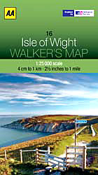
Isle of Wight at 1:25,000 in a series of Walker’s Maps published by the AA with the cartography from the Ordnance Survey’s Explorer series. The map is double-sided and coverage includes The Solent and part of the mainland with ferry connections from Portsmouth and Lymington.Maps in the AA Walker’s series are identical to the OS
Lyme Bay 25K AA/OS Walker`s Map No. 11
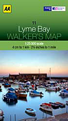
Lyme Bay at 1:25,000 in a series of Walker’s Maps published by the AA with the cartography from the Ordnance Survey’s Explorer series. Coverage includes Lyme Regis, Axmouth, Seaton, Shute, Axminster, Yarcombe, Chard, Crewkerne, Mosterton, Beaminster, Bridport, West Bay, etc.Maps in the AA Walker’s series are identical to the OS Explorer maps and provide plenty
North York Moors East 25K AA/OS Walker`s Map No. 12
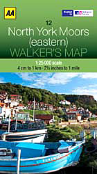
The eastern part of the North Yorkshire Moors at 1:25,000 in a series of Walker’s Maps published by the AA with the cartography from the Ordnance Survey’s Explorer series. The map is double-sided and coverage includes the North Yorks Moors National Park, Scarborough, Robin Hood’s Bay, Whitby, Lythe, Staithes, Loftus, Goathland, Newton-on-Radcliffe, Lockton, Pickering, etc.Maps
Brisbane Suburbs & City Centre UBD Gregory`s 418
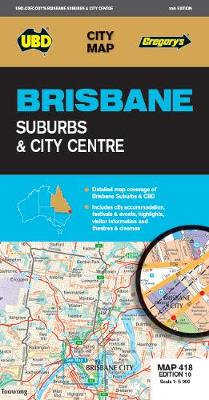
Brisbane Suburbs and City Centre map from UBD Gregory’s, combining a detailed, indexed street plan of the centre with a map of the city with its suburbs and the surrounding area, plus extensive tourist information,Half of one side is taken by a detailed, indexed street plan at 1:5,000 of the city centre (CBD) including the