Category Archives: Maps
United Kingdom North BGS Bedrock Geology Map
A geological map at 1:625,000 from the British Geological Survey showing bedrock geology of the northern part of the United Kingdom. Coverage extends south to Lancaster and Bridlington Bay (British National Grid line 460km north) and overlaps generously with the Southern UK sheet. Orkney Islands, Shetland Islands, and the remote islands Rockall, Sule Skerry, Stack
Discovery of Witches

It begins with absence and desire. It begins with blood and fear. It begins with a discovery of witches. When historian Diana Bishop opens an alchemical manuscript in the Bodleian Library, it`s an unwelcome intrusion of magic into her carefully ordered life. Though Diana is a witch of impeccable lineage, the violent death of her
United Kingdom South Bedrock Geology BGS Wall Map
A geological wall map at 1:625,000 from the British Geological Survey showing bedrock geology of the southern part of the United Kingdom (size 112 x 110cm / 44″ x 39.5″ approx). Coverage extends north to Hartlepool and Workington (National Grid line 540km north), and overlaps generously with the Northern UK sheet. Current 7th edition was
The Land Beyond: A Thousand Miles on Foot through the Heart of the Middle East
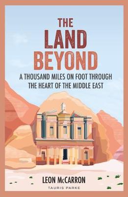
There are many reasons why it might seem unwise to walk, mostly alone, through the Middle East. That, in part, is exactly why Leon McCarron did it. From Jerusalem, McCarron followed a series of wild hiking trails that trace ancient trading and pilgrimage routes and traverse some of the most contested landscapes in the world.
United Kingdom South BGS Bedrock Geology Map
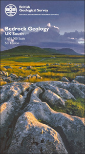
A geological map at 1:625,000 from the British Geological Survey showing bedrock geology of the southern part of the United Kingdom. Coverage extends north to Hartlepool and Workington (National Grid line 540km north) and overlaps generously with the Northern UK sheet. Current 7th edition was published in 2007.Map detail is generalised from the 1:50,000 map
World Children`s Illustrated Physical Kruger & Schonhoff Wall Map
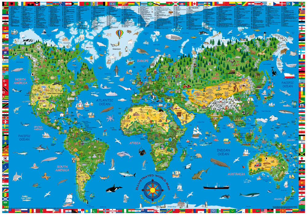
Children`s Illustrated World Map, measuring 135x95cm when flat, is a fun and educational way of displaying the world to younger explorers. Bright and colourful cartoon illustrations attract interest and attention to different areas of the world, linking items with correct geographical locations, inevitably encouraging your child’s interest in and understanding of the world. The map
United Kingdom South BGS Gravity Anomaly Map
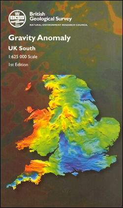
The Gravity Anomaly Map UK South is a colour contour map that shows variation in the gravity field over the southern part of the UK landmass and adjacent sea area at a scale of 1: 625, 000. Contour values are shown as Bouguer anomaly onshore and free-air anomaly offshore. Gravity and magnetic anomalies show small
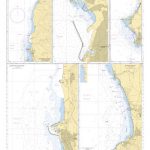
United Kingdom North BGS Magnetic Anomaly Map
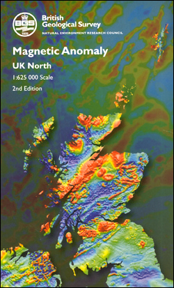
The Magnetic Anomaly Map UK North is a colour contour map that shows variations in the magnetic field over the northern part of the UK landmass and adjacent sea area at a scale of 1: 625, 000. Magnetic contour values are displayed as total field anomaly. Magnetic anomalies show small departures from the expected value
United Kingdom South BGS Magnetic Anomaly Map
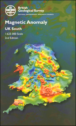
The Magnetic Anomaly Map UK South is a colour contour map that shows variations in the magnetic field over the southern part of the UK landmass and adjacent sea area at a scale of 1: 625, 000. Magnetic contour values are displayed as total field anomaly. Magnetic anomalies show small departures from the expected value
England, Wales and Southern Scotland Geological Map 1815 by William Smith
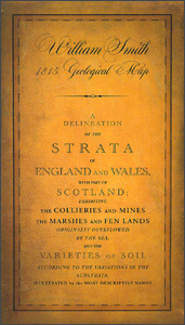
A beautiful reproduction by the British Geological Survey of William Smith’s famous 1815 geological map of England and Wales, with the combination of superb hand colouring and old-fashioned cartography providing a really stunning effect.The map, to give it its full, impressive title: ‘A delineation of the strata of England and Wales, with part of Scotland;
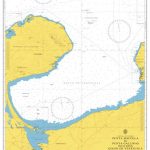
Geological map of the British Islands BGS
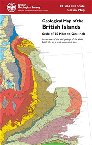
Folded version of the Geological Map of the British Islands at 1:1,584,000 (1″ to 25 miles) from the British Geological Survey, showing the bedrock (formerly ‘solid’) geology of the whole of the UK, Ireland, the Channel Islands and part of the English Channel coastline of France. The disposition at surface (outcrops) of the major rock
Bicentennial Geological Map of Britain 1815-2015
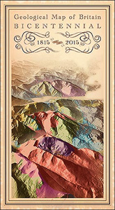
Geological map of the United Kingdom (i.e. Northern Ireland is included) at 1:1,000,000 from the British Geological Survey, in a special bicentennial edition depicting modern geological bedrock data in the style of the first ever geological map of Britain published in 1815 by William Smith. The base map has satellite-derived relief plus the road network.The
Bizarre Cars: The Strangest Vehicles of All Time

This book is dedicated to a select group of designers and marketing people round the world who, in blissful ignorance of the meaning of `fit for purpose`, came up with vehicles so totally bizarre, ugly or inappropriate (in some cases all three) that they must be recorded for posterity. Some people have designed deliberately bizarre
First Dinosaur Picture Atlas
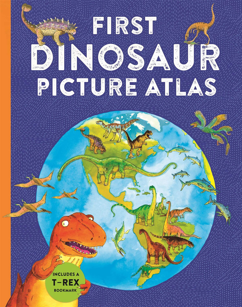
Beautifully illustrated by children`s artist Anthony Lewis, with lively age-appropriate text by zoologist and environmentalist David Burnie, the First Dinosaur Picture Atlas explains where dinosaurs came from and how they lived in different habitats across the world. An adorable dinosaur-shaped bookmark takes readers on a journey around the globe, helping them identify different species of
An Atlas of Tolkien
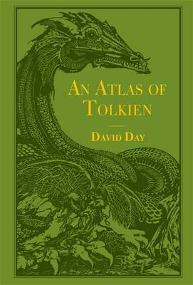
This lavish, colour atlas is a complete guide to the weird and wonderful geography of Tolkien`s world. Packed with full page maps and illustrations of events in the annals of Middle-earth, it is the perfect companion to the bestselling A Dictionary of Tolkien.
Londonist Mapped
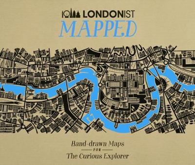
Winner of the Destinations Show Photography & Illustrated Travel Book of the Year at the Edward Stanford Travel Writing Awards 2018Londonist is about London and everything that happens in it – and now it`s mapped. The city at your fingertips, brought to life by an eclectic group of illustrators. Whether you`re looking for something new
Britain AA Trucker`s Atlas A3 SPIRAL-BOUND
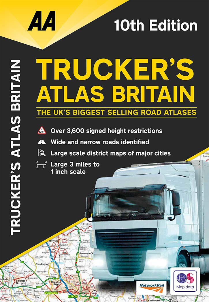
Fully updated for 2020, the atlas includes truck and freight ferry routes and port plans, route planner map, quick reference distance chart and an explanatory list of restricted motorway junctions. Additionally there is a 12-page section of London street mapping with height, width and weight restrictions clearly marked, as well as large scale district maps
The Battle for Singapore: The True Story of the Greatest Catastrophe of World War II
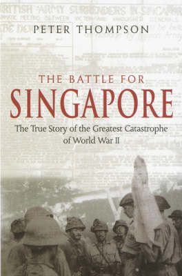
The true story of the `the greatest defeat and largest capitulation` in British military history. The Fall of Singapore on 15 February 1942 is a military disaster of enduring fascination. For the 60th anniversary of the liberation of the island, Peter Thompson tells the explosive story of the Malayan campaign, the siege of Singapore, the