Category Archives: Maps
Budapest Street Atlas
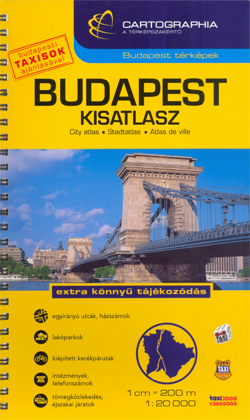
Cartographia’s comprehensive street atlas of Budapest at 1: 20,000 in a spiral-bound format, with an enlargement for the city center, plans of night bus services, plus a comprehensive index of bus routes, tramlines, night services, all rail/metro lines, museums, theatres, libraries, universities, hospitals, embassies, sports facilities, swimming pools/spas and street names.Road classification has five different
Bucharest Street Atlas
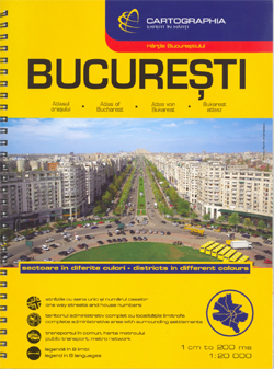
Spiral-bound, indexed street atlas of the city and the surrounding districts, with lists of public transport lines, hotels, museums, theatres, hospitals, etc. Municipal boundaries are drawn, notable buildings, parks and places of interest are marked and a range of symbols denotes specific features e.g. hotels and campsites, museums and monuments, bus terminals, hospitals, etc. The
Hungary – Budapest Road Atlas SPIRAL-BOUND
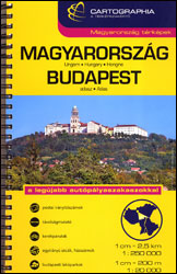
Road atlas of Hungary at 1:250,000 combined with a street atlas of Budapest at 1:20,000 from Cartographia, presented in a handy glovebox size and spiral-bound format, each section with an extensive index, plus an enlargement of the Budapest region, etc.The road atlas section shows six different classes of roads, plus cart tracks and selected local
Bulgarian and Romanian Coast
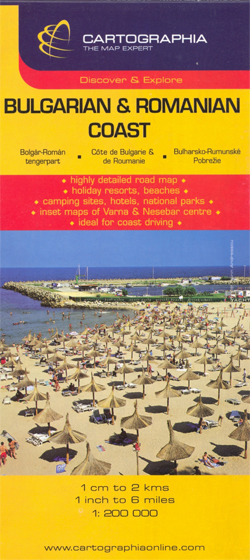
Romanian and Bulgarian coast of the Black Sea on a detailed, double-sided road map from Cartographia at 1:200,000, with street plans of towns and main holiday resorts overprinted with names of numerous hotels and other tourist information. In Bulgaria names of towns and villages are shown in both Latin and Cyrillic alphabet, geographical information and
Hungary – soft cover
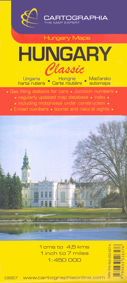
Clear, indexed, road map of Hungary, from Hungary`s leading cartographic publisher, Cartographia.Road details include six different kinds of roads plus tracks, with intermediate driving distances, petrol stations, and names and numbers on major roads. Railways, national and international boundaries with border crossings, ferry lines on rivers and airports are also marked, alongside national parks and
Zemplen Hills North Cartographia Tourist Map 22
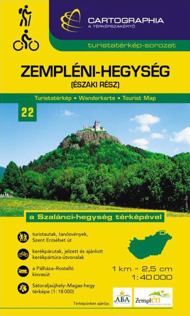
Zemplen Hills Northin a series of contoured hiking and recreational maps from the Budapest based Cartographia, with hiking routes and other tourist information, including in many titles street plans, cycling trails, etc. The maps have contours at 10m intervals with relief shading and spot heights, plus colouring and/or graphics to indicate different types of vegetation.
Zselic Cartographia Tourist Map 17
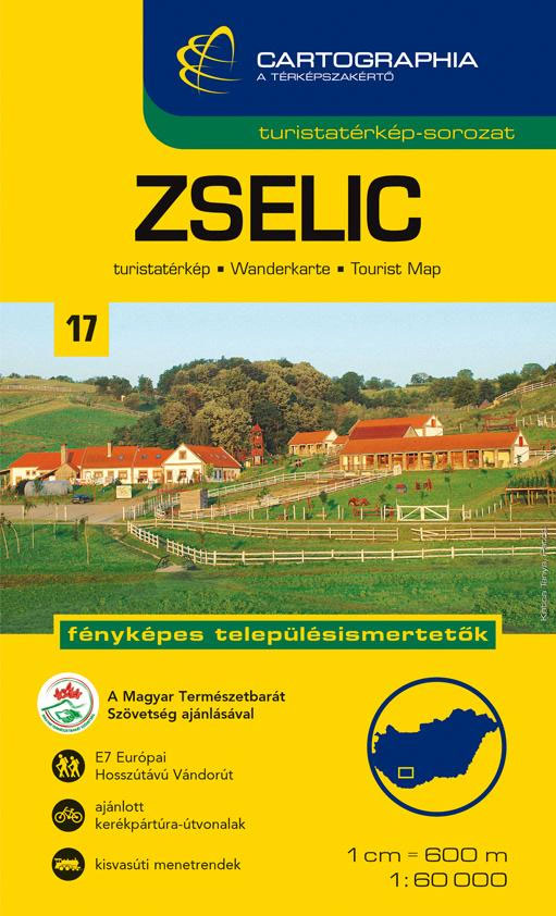
Zselicin a series of contoured hiking and recreational maps from the Budapest based Cartographia, with hiking routes and other tourist information, including in many titles street plans, cycling trails, etc. The maps have contours at 10m intervals with relief shading and spot heights, plus colouring and/or graphics to indicate different types of vegetation. An overprint
Cserhat – Karancs – Medves Cartographia Tourist Map 8
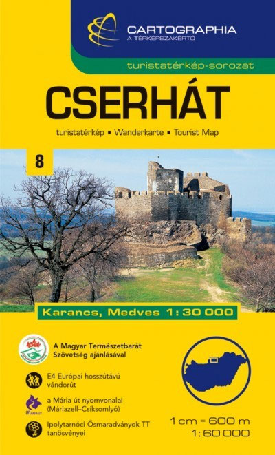
Cserhรกtin a series of contoured hiking and recreational maps from the Budapest based Cartographia, with hiking routes and other tourist information, including in many titles street plans, cycling trails, etc. The maps have contours at 10m intervals with relief shading and spot heights, plus colouring and/or graphics to indicate different types of vegetation. An overprint
Orsรฉg – Gรถcsej – Kemeneshat Cartographia Tourist Map 21
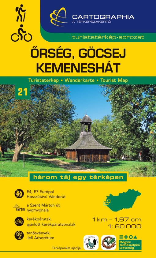
Orsรฉg – Gรถcsejin a series of contoured hiking and recreational maps from the Budapest based Cartographia, with hiking routes and other tourist information, including in many titles street plans, cycling trails, etc. The maps have contours at 10m intervals with relief shading and spot heights, plus colouring and/or graphics to indicate different types of vegetation.
Secuimea Szekelyfold Cartographia Road Map
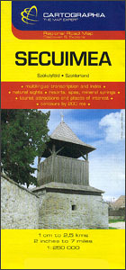
Secuimea on an indexed road map at 1:250,000 from Cartographia, providing coverage of central and eastern parts of Transylvania, from Cluj Napoca and Alba Iulia eastward, with coverage extending south to Sibiu and Brasov. The map has contours at 100m intervals, plus spot heights, names of mountain ranges and colouring for forested areas. Road network
Slovakia

Slovakia on an indexed road map at 1:500,000 from the Budapest-based Cartographia, prominently highlighting interesting locations and national parks, plus an enlargement showing Tatra Mountain in greater detail and a street plan of central Bratislava. Coverage extends north to Krakรณw to cover the Polish side of the Tatras and their foothills.Road network, graded into six
Libya
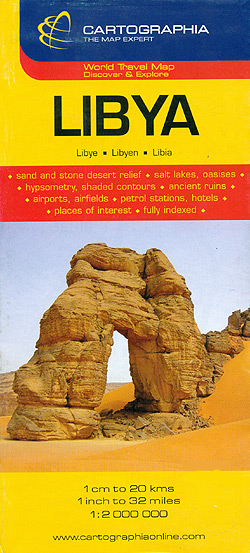
General map with plans of Tripoli and Benghazi, an enlargement for the environs of the capital, and an administrative map of the country. The map does not cover the whole of Libya, but only the coastal area and the western part of the country, extending south to just beyond 26ยบ (i.e. most of Marzuk and
Ukraine – Belorussia – Moldova
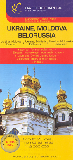
Ukraine, Belorussia and Moldova at 1:2,000,000 from the Budapest based Catrographia on a useful overview road map providing coverage from Warsaw to Moscow and from St. Petersburg to the Crimea.Where appropriate all names of towns and villages are shown in both Cyrillic and Latin alphabets. Names of geographical features such as mountain ranges, peaks and
Fagaras Mountains Dimap Hiking Map
Fagaras Mountains at 1:60,000 in a series of detailed contoured maps covering popular hiking areas of Transylvania published by Dimap, one of Hungary’s leading publishers specializing in mapping of that region. The maps show local hiking routes and provide tourist information such as campsites, places of interest, etc. Many titles include street plans and/or English
China – Mongolia
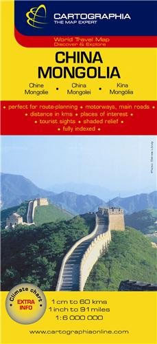
Detailed (but sometimes crowded) road map of China & Mongolia with hill shading, coloring and selected spot heights. A separate inset covers the Hainan Dao Island in China.Six different types of roads plus tracks are indicated with intermediate driving distances on main roads. Also marked are international and disputed boundaries, administrative boundaries, airports and ports,
Silk Road Countries
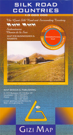
The Silk Route Countries at 1:3,000,000 from Gizi Map with coverage extending from eastern Turkey and Syria, across the countries of Central Asia, to western China and south to the Arabian Sea; different variants of the route across this vast region are clearly highlighted on the map.The map has altitude coloring to provide an excellent
Ethiopia – Eritrea – Djibouti
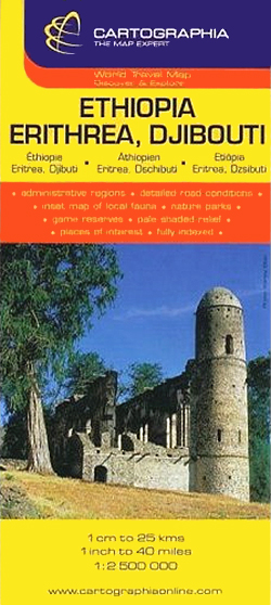
Ethiopia with Eritrea and Djibouti at 1:2,500,000 on an indexed road map from Cartographia, with a street plan of central Addis Ababa, a plan of the Awash National Park, plus a map showing distribution of different animals within the country.Hill-shading with spot heights very effectively portrays the region`s topography, with graphics showing lava fields, mangroves,
Tibet Gizi Map

Tibet at 1:2,000,000 on an indexed map from Gizi Map presenting the region with relief shading to show its topography. Names of many settlements are shown in two or three versions: in the Latin alphabet transliteration of the Chinese and the Tibetan versions, plus for larger places also in Chinese.Coverage of Tibet at 1:2,000,000 is


