Category Archives: Maps
Lombok & Komodo Periplus Travel Map
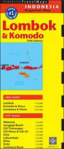
Lesser Sunda Islands from Lombok to Flores presented by Periplus on panels across both sides of the sheet showing road maps and street plans at various scales to provide good coverage of the archipelago’s most visited areas. Topography of the islands is vividly shown by altitude colouring and shading. Both the road maps and the
Brief History of Indonesia: Sultans, Spices, and Tsunamis: the Incredible Story of Southeast Asia`s Largest Nation
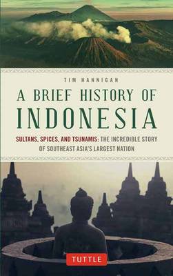
Sultans, Spices, and Tsunamis: The Incredible Story of the World`s Largest ArchipelagoIndonesia is by far the largest nation in Southeast Asia and has the fourth largest population in the world after the United States. Indonesian history and culture are especially relevant today as the Island nation is an emerging power in the region with a
Bali Periplus Travel Map
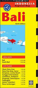
Bali with Nusa Penida at 1:250,000 from Periplus, with a more detailed enlargement of south-eastern Bali, plus street plans of the island’s towns and popular tourist resorts, all highlighting accommodation and places of interest. Enlargements and street plans cover/provide:- the more populated south-eastern part of Bali at 1:100,000 with street plans of Denpasar, the Kuta
Bali Street Atlas
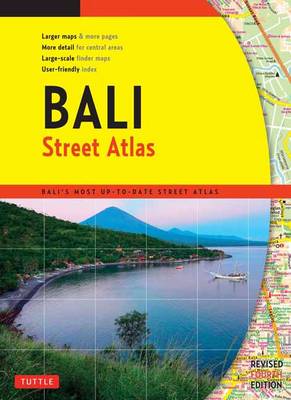
Finding your way around Bali has never been easier! This newly revised Street Atlas from Periplus, Asia`s leading book and map Publisher, is designed for Bali residents and visitors. It is the first and only atlas of Bali produced to world-class cartographic standards. All roads are color-coded with major arteries in bright yellow and orange.
Java & Bali Periplus Travel Map
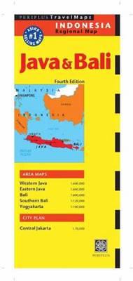
Java and Bali on a double-sided map at 1:600,000 from Periplus, accompanied by enlargements of southern Bali and overview street plans of Jakarta and Yogyakarta. All are annotated with numerous places of interest.Java is divided between the two sides of the map, with the whole of Bali shown at the same scale of 1:600,000 as
Philippines: A Visual Journey
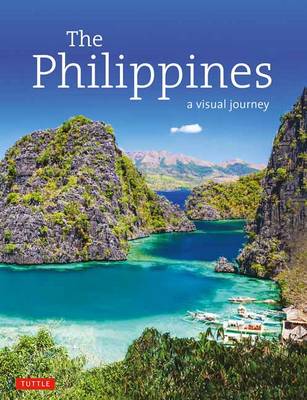
This beautifully photographed travel pictorial captures the people, art, architecture, food and landscapes of the Philippines.The Philippine Archipelago with its 7,100 islands is culturally diverse and unique in Southeast Asia, and renowned for the splendor of its coastal beaches and terraced mountains. Seventy million Filipinos have been nurtured by both tropical environment and unique historical
Vietnam Periplus Travel Map
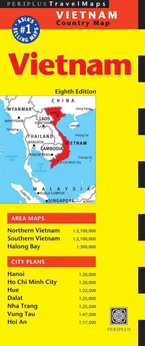
The Vietnam Travel Map from Periplus is designed as a convenient, easy-to-use tool for travelers. Designed to fit easily into a purse or pocket and created using durable coated paper, this map is made to open and fold multiple times, whether it`s the entire map that you want to view or one panel at a
Singapore Periplus Travel Map
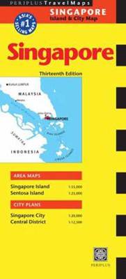
Singapore on a double-sided map by Periplus, providing road mapping of the Singapore Island and Sentosa Island, a street plan of Singapore City with a more detailed enlargement of its Central District, and a diagram of the MRT and LRT transport system.On one side is the whole of the Singapore Island, presented at 1:55,000. Road
Myanmar / Burma Periplus Travel Map
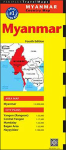
Myanmar (Burma) on a double-sided map from Periplus, including a country map at 1:2,000,000, plus street plans of Yangon (Rangoon), Mandalay, the Bagan area, and Naypyidaw.On one side is a road map showing Burma at 1:2,000,000, with good coverage of the adjoining regions of the neighbouring countries; coverage of Thailand extends to Bangkok and includes
Australia Periplus Travel Map
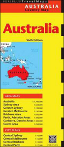
Australia on an overview map from Periplus accompanied by enlargements of its most visited areas plus street plans of the five main cities, shown on panels on both sides of the sheet. All the maps are annotated with numerous places of interest and street plans additionally show locations of hotels. A general map covers the
China Periplus Travel Map
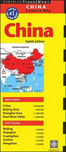
China on an overview map from Periplus, accompanied by enlargements of the regions around the capital, Shanghai and the Pearl River Delta, plus street plans of central Beijing, Shanghai, Guangzhou, Suzhou and Hangzhou.On one side is a general map of China at 1:8,000,000 showing the country’s networks of main road and rail connections, as well
Bangkok Periplus Travel Map
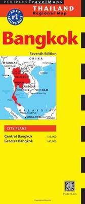
The Bangkok Travel Map from Periplus is designed as a convenient, easy-to-use tool for travelers. Created using durable coated paper, this map is made to open and fold multiple times, whether it`s the entire map that you want to view or one panel at a time.Following highways and byways, this map will show you how
Philippines Wall Map
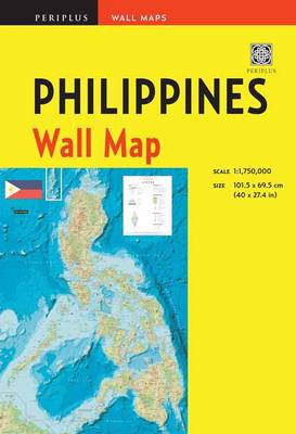
Each of the maps in the Periplus Wall Maps series is available in a user-friendly format. Each map is folded neatly into a heavy-duty cardstock protective pocket/folder and features comprehensive coverage of tourist facilities and public amenities, an easy-to-use legend for quick reference, plus a fully digital map base which allows them to be frequently
Malaysia Periplus Wall Map

This portable map of Malaysia guarantees you won`t go anywhere without the information you need!This first edition wall map of Malaysia is handsome enough to hang up and display, while sufficiently compact to carry on hand for easy access. It is scaled at 1:2,000,000 and features a simple-to-use legend for quick reference. When not in
Grasslands National Park: East Block, Saskatchewan

Grasslands National Park: East Block in Saskatchewan at 1:50,000 in a series of GPS compatible recreational maps at various scales from Go Trekkers highlighting recreational possibilities including trekking and/or snowshoe trails, canoeing and kayaking routes, campgrounds, warden stations, etc.Cartography of each title varies according to the terrain of the national park, but the maps are
Grasslands National Park; West Block Saskatchewan
Grasslands National Park: West Block in Saskatchewan at 1:50,000 in a series of GPS compatible recreational maps at various scales from Go Trekkers highlighting recreational possibilities including trekking and/or snowshoe trails, canoeing and kayaking routes, campgrounds, warden stations, etc.Cartography of each title varies according to the terrain of the national park, but the maps are
World NGS Classic Wall Map ENCAPSULATED
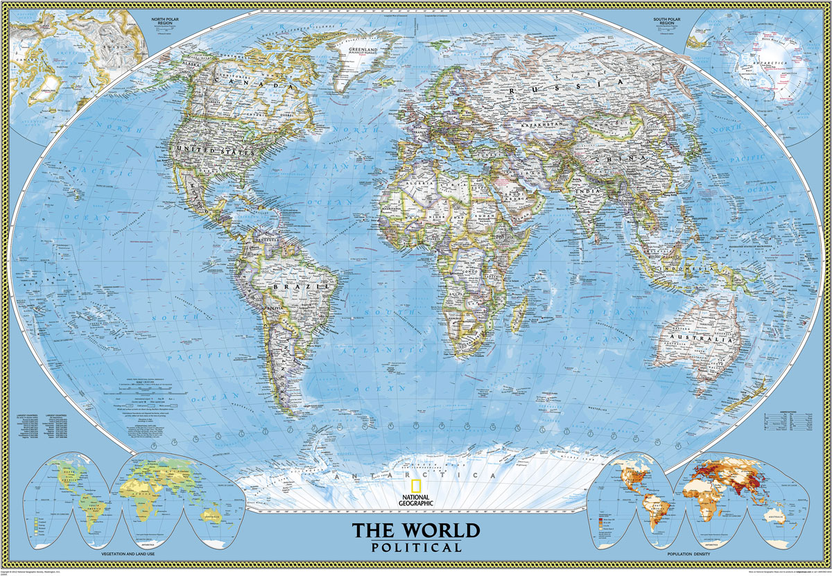
NGS Classic political map of the world, standard size 110.5 x 77cm (43.5″ x 30″ approx) ‘“ encapsulated version, with the publishers’ characteristic lay-out providing an attractive alternative to the more conventional world maps, countries in white but defined by different colour borders, oceans in bright blue, plus interesting additional features. All place names are
India Periplus Travel Map
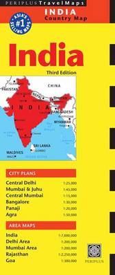
Indian Subcontinent at 1:7,000,000 on an overview map from Periplus, accompanied by enlargements for some of its most visited areas: Rajastan, Goa, and the environs of Delhi and Mumbai, plus street plans of Delhi, Mumbai and Juhu, Panaji, Agra and Bangalore.The main map provides an overview of the Subcontinent, including most of Pakistan, Nepal, Bhutan,
World NGS Classic Wall Map LARGE ENCAPSULATED
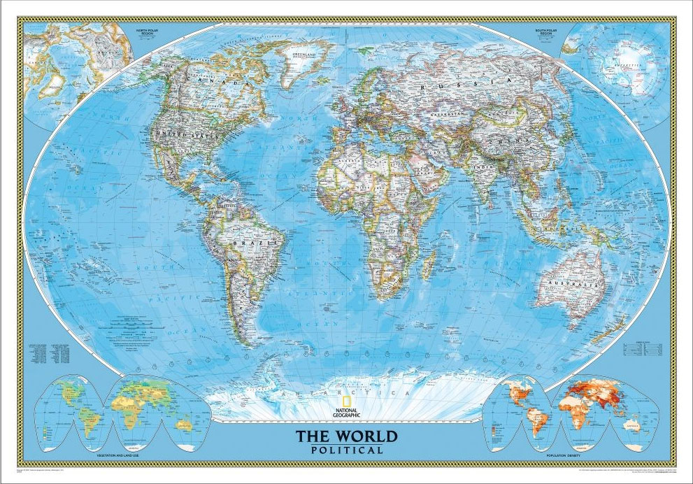
NGS Classic political map of the world, enlarged size 178 x 123cm (70″ x 48″ approx) ‘“ encapsulated version, with the publishers’ characteristic lay-out providing an attractive alternative to the more conventional world maps, countries in white but defined by different colour borders, oceans in bright blue, plus interesting additional features. All place names are
Cambodia Periplus Travel Map
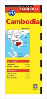
Cambodia map at 1: 1,000,000 from Periplus, with a large, indexed street plan of Phnom Penh, plus plans of Siem Reap and Sihanoukville, and a map of the Angkor area highlighting locations of 56 temples and 35 selected hotels.The map of the whole of Cambodia at 1:1,000,000, showing the country’s network of principal roads and