Category Archives: Maps
Szolnok
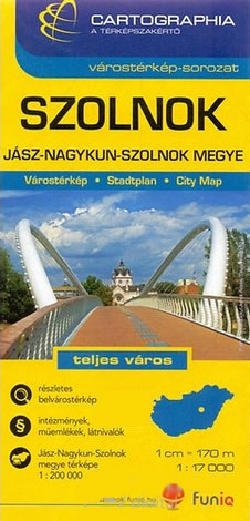
Szolnok in a series of street plans of Hungary’s main towns from Cartographia in Budapest. The plans cover the whole town with its outer suburbs and, where appropriate, have an enlargement for the central area. All the plans have a street index.Map legend varies; in plans of larger towns or popular tourist destinations it usually
Veszprรฉm
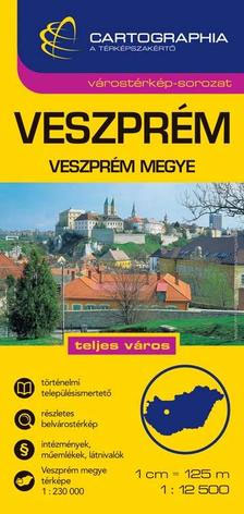
Veszprรฉm in a series of street plans of Hungary’s main towns from Cartographia in Budapest. The plans cover the whole town with its outer suburbs and, where appropriate, have an enlargement for the central area. All the plans have a street index.Map legend varies; in plans of larger towns or popular tourist destinations it usually
Balatonfรผred – Tihany
Balatonfรผred – Tihany in a series of street plans of Hungary’s main towns from Cartographia in Budapest. The plans cover the whole town with its outer suburbs and, where appropriate, have an enlargement for the central area. All the plans have a street index.Map legend varies; in plans of larger towns or popular tourist destinations
Zalaegerszeg – Zala County
Zalaegerszeg in a series of street plans of Hungary’s main towns from Cartographia in Budapest. The plans cover the whole town with its outer suburbs and, where appropriate, have an enlargement for the central area. All the plans have a street index.Map legend varies; in plans of larger towns or popular tourist destinations it usually
Debrecen

Debrecen in a series of street plans of Hungary’s main towns from Cartographia in Budapest. The plans cover the whole town with its outer suburbs and, where appropriate, have an enlargement for the central area. All the plans have a street index.Map legend varies; in plans of larger towns or popular tourist destinations it usually
Eger
Eger in a series of street plans of Hungary’s main towns from Cartographia in Budapest. The plans cover the whole town with its outer suburbs and, where appropriate, have an enlargement for the central area. All the plans have a street index.Map legend varies; in plans of larger towns or popular tourist destinations it usually
Erd and Environs
Erd and the surroundings settlements in a series of street plans of Hungary’s main towns from Cartographia in Budapest. The plans cover the whole town with its outer suburbs and, where appropriate, have an enlargement for the central area. All the plans have a street index.Map legend varies; in plans of larger towns or popular
Gyor

Gyor in a series of street plans of Hungary’s main towns from Cartographia in Budapest. The plans cover the whole town with its outer suburbs and, where appropriate, have an enlargement for the central area. All the plans have a street index.Map legend varies; in plans of larger towns or popular tourist destinations it usually
Kaposvar
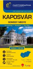
Kaposvar in a series of street plans of Hungary’s main towns from Cartographia in Budapest. The plans cover the whole town with its outer suburbs and, where appropriate, have an enlargement for the central area. All the plans have a street index.Map legend varies; in plans of larger towns or popular tourist destinations it usually
Kecskemรฉt (with Kiskunsรกg National Park)

Kecskemรฉt in a series of street plans of Hungary’s main towns from Cartographia in Budapest. The plans cover the whole town with its outer suburbs and, where appropriate, have an enlargement for the central area. All the plans have a street index.Map legend varies; in plans of larger towns or popular tourist destinations it usually
Hungary “Comfort” Map

Clear, indexed, road map of Hungary at a scale of 1:520,000, from Hungary`s leading cartographic publisher, Cartographia.Road details include six different kinds of roads plus tracks, with intermediate driving distances, petrol stations, and names and numbers on major roads. Railways, national and international boundaries with border crossings, ferry lines on rivers and airports are also
Hungary Pocket Road Atlas SPIRAL-BOUND
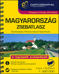
Pocket spiral-bound Road Atlas of Hungary from the Budapest based Cartographia, presenting the country at 1:330,000, with enlargements for the environs of the capital and for Lake Balaton, a distance table and diagrams of motorway interchanges.The atlas shows Hungary at a scale slightly better than used in most folded maps of the country. The number
Central America – Caribbean Islands – Mexico

Central America and the Caribbean at 1:6,000,000 from Cartographia, showing both physical geography and political boundaries, with an enlargement for the Panama Canal, plus flags, coats of arms, population and area for all the countries.Coverage includes the southern US states around the Gulf of Mexico, extending north to Memphis TN, and in South America western
Romania Cartographia Road Atlas
Romania on a compact spiral-bound road atlas from the Budapest based Cartographia, clearly showing the country’s road network and indicating roads closed to general traffic, scenic routes, border crossings, and intermediate driving distances. Railways, administrative boundaries, and national parks are marked, and symbols highlight various places of interest, including campsites, spas and beaches, World Heritage
Budapest Street Atlas
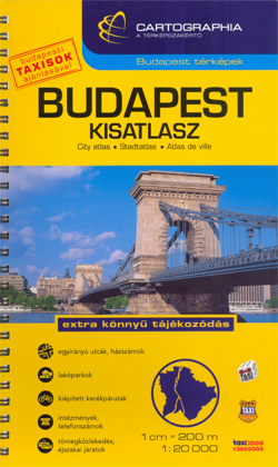
Cartographia’s comprehensive street atlas of Budapest at 1: 20,000 in a spiral-bound format, with an enlargement for the city center, plans of night bus services, plus a comprehensive index of bus routes, tramlines, night services, all rail/metro lines, museums, theatres, libraries, universities, hospitals, embassies, sports facilities, swimming pools/spas and street names.Road classification has five different
Bucharest Street Atlas
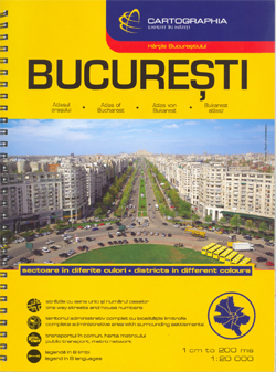
Spiral-bound, indexed street atlas of the city and the surrounding districts, with lists of public transport lines, hotels, museums, theatres, hospitals, etc. Municipal boundaries are drawn, notable buildings, parks and places of interest are marked and a range of symbols denotes specific features e.g. hotels and campsites, museums and monuments, bus terminals, hospitals, etc. The
Hungary – Budapest Road Atlas SPIRAL-BOUND
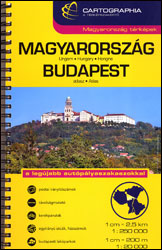
Road atlas of Hungary at 1:250,000 combined with a street atlas of Budapest at 1:20,000 from Cartographia, presented in a handy glovebox size and spiral-bound format, each section with an extensive index, plus an enlargement of the Budapest region, etc.The road atlas section shows six different classes of roads, plus cart tracks and selected local
Bulgarian and Romanian Coast
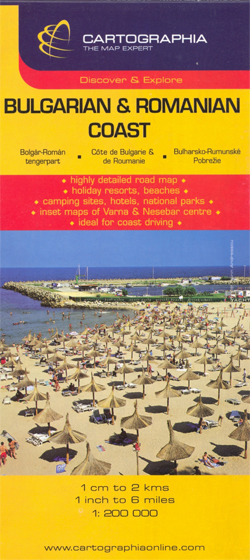
Romanian and Bulgarian coast of the Black Sea on a detailed, double-sided road map from Cartographia at 1:200,000, with street plans of towns and main holiday resorts overprinted with names of numerous hotels and other tourist information. In Bulgaria names of towns and villages are shown in both Latin and Cyrillic alphabet, geographical information and


