Category Archives: Maps
Belfast North 1920
Belfast North in 1920 in a fascinating series of reproductions of old Ordnance Survey plans in the Alan Godfrey Editions, ideal for anyone interested in the history of their neighbourhood or family. The map covers a busy area of north central Belfast, including several of the docks. Coverage stretches from Clifton Park Avenue eastward to
Fleetwood 1910
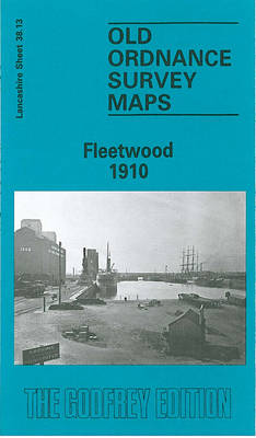
Fleetwood in 1910 in a fascinating series of reproductions of old Ordnance Survey plans in the Alan Godfrey Editions, ideal for anyone interested in the history of their neighbourhood or family.Most of the town centre is shown and coverage extends southward to Wyre Street, westward to Cemetery Lane. Major features include the town centre, Wyre
Openshaw 1905

Openshaw in 1905 in a fascinating series of reproductions of old Ordnance Survey plans in the Alan Godfrey Editions, ideal for anyone interested in the history of their neighbourhood or family. Two versions have been published for this area. The map covers a busy area of east Manchester; the southern part is dominated by railway
Bermondsey & Wapping 1894 – 77.2
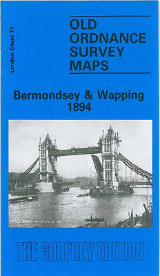
Bermondsey and Wapping in 1894 in a fascinating series of reproductions of old Ordnance Survey plans in the Alan Godfrey Editions, ideal for anyone interested in the history of their neighbourhood or family. Three versions cover the area stretching from London Bridge eastward to Southwark Park and southward to New Kent Road and Spa Road.
Winchmore Hill 1896 – 7.10a
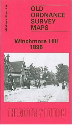
Winchmore Hill in 1896 in a fascinating series of reproductions of old Ordnance Survey plans in the Alan Godfrey Editions, ideal for anyone interested in the history of their neighbourhood or family. The map covers Winchmore Hill, stretching from Memorial Terrace and Vicars Moor Lane southward to Stonard Road, and east to the New River
Hampstead 1866 – 27.1
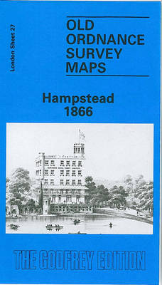
Hampstead in 1866 in a fascinating series of reproductions of old Ordnance Survey plans in the Alan Godfrey Editions, ideal for anyone interested in the history of their neighbourhood or family. Three versions of this map have been published, covering most of Hampstead Village and much of Hampstead Heath. Coverage extends from Finchley Road and
Darlington 1898 – 55.06a
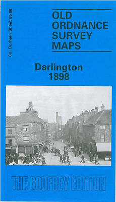
Darlington in 1898 in a fascinating series of reproductions of old Ordnance Survey plans in the Alan Godfrey Editions, ideal for anyone interested in the history of their neighbourhood or family. The map covers the centre of the town, stretching from the Market Place northward to North Road station; St Andrews church at Haughton le
Derry/Londonderry 1905 – 14.10
Derry/Londonderry in 1905 in a fascinating series of reproductions of old Ordnance Survey plans in the Alan Godfrey Editions, ideal for anyone interested in the history of their neighbourhood or family. Coverage stretches from Brooke Park southward to Carlisle Bridge, and from the Cemetery eastward to Glendermott Road. Major features include the city centre, St
Wigan West 1908
Wigan West in 1908 in a fascinating series of reproductions of old Ordnance Survey plans in the Alan Godfrey Editions, ideal for anyone interested in the history of their neighbourhood or family. The map covers the western part of Wigan, including some central features such as the Rectory (Wigan Hall), Mesnes Park and `Wigan Pier`.
Barnsley 1904
Barnsley in 1904 in a fascinating series of reproductions of old Ordnance Survey plans in the Alan Godfrey Editions, ideal for anyone interested in the history of their neighbourhood or family. Two versions have been published for this area. The 1890 version is in full colour, taken from the beautiful 1st Edition OS hand-coloured map.
Wakefield (North) 1890 – 248.03a
Wakefield North in 1890 in a fascinating series of reproductions of old Ordnance Survey plans in the Alan Godfrey Editions, ideal for anyone interested in the history of their neighbourhood or family. The map covers the northern part of Wakefield and features include the Cathedral, Borough Market, St Andrew`s church, Westgate station, Prison (left blank
Wakefield (South) 1890 – 248.07a
Wakefield South in 1890 in a fascinating series of reproductions of old Ordnance Survey plans in the Alan Godfrey Editions, ideal for anyone interested in the history of their neighbourhood or family. The map covers the southern part of Wakefield, stretching from George Street southward to Sparable Lane. Several railways cross the map with Kirkgate
Holbeck & New Wortley 1906 – 218.05b
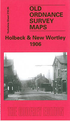
Leeds South West: Holbeck and New Wortley in 1906 in a fascinating series of reproductions of old Ordnance Survey plans in the Alan Godfrey Editions, ideal for anyone interested in the history of their neighbourhood or family. Two versions have been published for this area. Coverage stretches from Amberley Road eastward to David Street, and
Smethwick 1901 – 72.03a
Smethwick in 1901 in a fascinating series of reproductions of old Ordnance Survey plans in the Alan Godfrey Editions, ideal for anyone interested in the history of their neighbourhood or family. The map covers Smethwick, then a Municipal Borough, including much of Uplands, Victoria and Soho Wards. Coverage stretches from Auckland Road eastward to Vittoria
Hull (East) 1928 – 240.03c
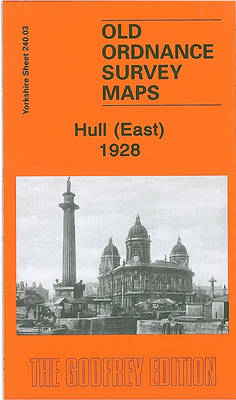
Hull East in 1928 in a fascinating series of reproductions of old Ordnance Survey plans in the Alan Godfrey Editions, ideal for anyone interested in the history of their neighbourhood or family. Three versions have been published for this area. The maps cover much of central Hull, stretching from Jameson Street and King Edward Street
Wickersley 1901
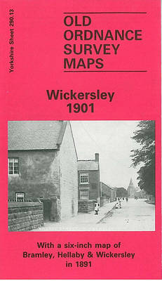
Wickersley in 1901 in a fascinating series of reproductions of old Ordnance Survey plans in the Alan Godfrey Editions, ideal for anyone interested in the history of their neighbourhood or family. The map covers the village of Wickersley, east of Rotherham. Coverage stretches from the cross roads, where the Three Horse Shoes, White Swan and
East Acton & Wormholt 1913 – 58.3

East Acton and Wormholt in 1913 in a fascinating series of reproductions of old Ordnance Survey plans in the Alan Godfrey Editions, ideal for anyone interested in the history of their neighbourhood or family. Three versions cover the same area, extending from Goldsmith Avenue eastward to Ellerslie Road, and from Friars Place Farm southward to
Leicester (NE) 1913 – 31.11
Leicester North East in 1902 in a fascinating series of reproductions of old Ordnance Survey plans in the Alan Godfrey Editions, ideal for anyone interested in the history of their neighbourhood or family. Leicester is covered on six maps.This title covers a busy area of east Leiecester, stretching from Southampton Street and the northern part
Stepney & Limehouse 1914 – 64.3
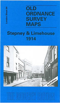
Stepney and Limehouse in 1914 in a fascinating series of reproductions of old Ordnance Survey plans in the Alan Godfrey Editions, ideal for anyone interested in the history of their neighbourhood or family. Three versions cover the area stretching from Sidney Street and Shadwell station eastward to Stainsby Road, and from the Mile End Road