Category Archives: Maps
Edgware 1895
Edgware in 1895 in a fascinating series of reproductions of old Ordnance Survey plans in the Alan Godfrey Editions, ideal for anyone interested in the history of their neighbourhood or family. Two versions for this area have been published to show how it developed across the years. The map covers the town centre, stretching from
Whetstone 1897
Whetstone in 1897 in a fascinating series of reproductions of old Ordnance Survey plans in the Alan Godfrey Editions, ideal for anyone interested in the history of their neighbourhood or family. The map covers an area stretching from Totteridge Green eastward to Oakleigh Park. The Great North Road runs north-south through the centre of the
Wembley Park 1895
Wembley Park in 1895 in a fascinating series of reproductions of old Ordnance Survey plans in the Alan Godfrey Editions, ideal for anyone interested in the history of their neighbourhood or family. Two versions have been published to show how this area developed across the years. The two maps cover the same area but with
Hull West 1928
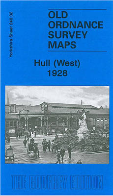
Hull West in 1928 in a fascinating series of reproductions of old Ordnance Survey plans in the Alan Godfrey Editions, ideal for anyone interested in the history of their neighbourhood or family. Three versions have been published for this area. The maps cover west Hull, stretching from Albert Avenue and Plane Street eastward to Prospect
Swinton 1901

Swinton in 1901 in a fascinating series of reproductions of old Ordnance Survey plans in the Alan Godfrey Editions, ideal for anyone interested in the history of their neighbourhood or family. Most of the town is covered, including Station Street, William Street, Market Street, Bridge Street and surrounding streets and alleys and coverage extends west
Central Belfast 1931 – 61.09
Belfast Central in 1931 in a fascinating series of reproductions of old Ordnance Survey plans in the Alan Godfrey Editions, ideal for anyone interested in the history of their neighbourhood or family. The central area of Belfast, with coverage stretching from Distillery Street eastward to Albert Bridge, and from Smithfield southward to Cromwell Road. Note
Sheffield Darnall 1903
Sheffield Darnall in 1903 in a fascinating series of reproductions of old Ordnance Survey plans in the Alan Godfrey Editions, ideal for anyone interested in the history of their neighbourhood or family. The map covers the eastern area of Sheffield, including Little Attercliffe and Darnall. Coverage stretches from Ripon Street eastward to High Hazels Park
City of York & Clifton 1907 – 174.06b
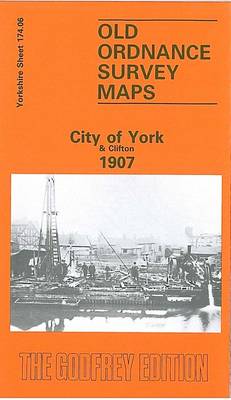
York City and Clifton in 1907 in a fascinating series of reproductions of old Ordnance Survey plans in the Alan Godfrey Editions, ideal for anyone interested in the history of their neighbourhood or family. Most of the city centre is covered, stretching from Ouse Bridge and Foss Bridge northward to Haxby Road and Fountayne Street;
Sheffield Park 1903
Sheffield Park in 1903 in a fascinating series of reproductions of old Ordnance Survey plans in the Alan Godfrey Editions, ideal for anyone interested in the history of their neighbourhood or family. The map covers the south-eastern area of Sheffield, around Norfolk Park and Bramall Lane. Coverage stretches from Bramall Lane eastward to City Road
Wednesbury 1902
Wednesbury in 1902 in a fascinating series of reproductions of old Ordnance Survey plans in the Alan Godfrey Editions, ideal for anyone interested in the history of their neighbourhood or family. The map covers the Black Country town of Wednesbury, together with the industrial hinterland to its west, with the site of many disused collieries.
Newcastle & Gateshead 1894 – 18a
Newcastle and Gateshead in 1894 in a fascinating series of reproductions of old Ordnance Survey plans in the Alan Godfrey Editions, ideal for anyone interested in the history of their neighbourhood or family. Two maps have have been published for this area to show how it has changed over the years. Coverage stretches from Westgate
Hammersmith & Fulham 1871 – 86.1
Hammersmith and Fulham in 1871 in a fascinating series of reproductions of old Ordnance Survey plans in the Alan Godfrey Editions, ideal for anyone interested in the history of their neighbourhood or family. Three versions for this area have been published, stretching from Hammersmith Bridge and Broadway eastward to Philbeach Gardens and Earls Court Exhibition
Darlaston & King`s Hill 1901
Darlaston and King`s Hill in 1901 in a fascinating series of reproductions of old Ordnance Survey plans in the Alan Godfrey Editions, ideal for anyone interested in the history of their neighbourhood or family. The map covers the centre of Darlaston and extends southward to King`s Hill and south-west to Old Moxley. Other districts include
Shoreditch 1872 – 51.1
Shoreditch in 1870 in a fascinating series of reproductions of old Ordnance Survey plans in the Alan Godfrey Editions, ideal for anyone interested in the history of their neighbourhood or family. Three versions of this map have been published, stretching from Cropley Street and City Road eastward to Cambridge Road and Corfield Street, and from
Brixton & Herne Hill 1870 – 116.1
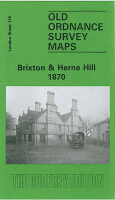
Brixton and Herne Hill in 1870 in a fascinating series of reproductions of old Ordnance Survey plans in the Alan Godfrey Editions, ideal for anyone interested in the history of their neighbourhood or family. Three versions for this area have been published, stretching from Branksome Road and Strathleven Road eastward to Beckwith Road, and from
Winchmore Hill 1896 – 7.10a
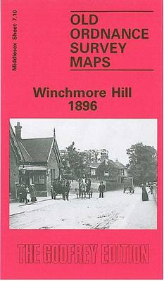
Winchmore Hill in 1896 in a fascinating series of reproductions of old Ordnance Survey plans in the Alan Godfrey Editions, ideal for anyone interested in the history of their neighbourhood or family. The map covers Winchmore Hill, stretching from Memorial Terrace and Vicars Moor Lane southward to Stonard Road, and east to the New River
Hampstead 1866 – 27.1
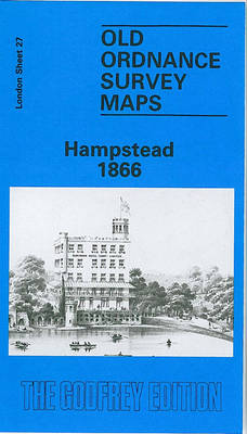
Hampstead in 1866 in a fascinating series of reproductions of old Ordnance Survey plans in the Alan Godfrey Editions, ideal for anyone interested in the history of their neighbourhood or family. Three versions of this map have been published, covering most of Hampstead Village and much of Hampstead Heath. Coverage extends from Finchley Road and
Darlington 1898 – 55.06a
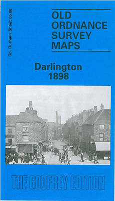
Darlington in 1898 in a fascinating series of reproductions of old Ordnance Survey plans in the Alan Godfrey Editions, ideal for anyone interested in the history of their neighbourhood or family. The map covers the centre of the town, stretching from the Market Place northward to North Road station; St Andrews church at Haughton le
Derry/Londonderry 1905 – 14.10
Derry/Londonderry in 1905 in a fascinating series of reproductions of old Ordnance Survey plans in the Alan Godfrey Editions, ideal for anyone interested in the history of their neighbourhood or family. Coverage stretches from Brooke Park southward to Carlisle Bridge, and from the Cemetery eastward to Glendermott Road. Major features include the city centre, St