Category Archives: Maps
Barnsley North East 1904

Barnsley North East in 1904 in a fascinating series of reproductions of old Ordnance Survey plans in the Alan Godfrey Editions, ideal for anyone interested in the history of their neighbourhood or family. The map covers the north east area of Barnsley, continuing north to Monk Bretton and eastward to Burton Grange. Features include the
Horbury 1905
Horbury in 1905 in a fascinating series of reproductions of old Ordnance Survey plans in the Alan Godfrey Editions, ideal for anyone interested in the history of their neighbourhood or family. The map covers Horbury and Horbury Bridge, just west of Wakefield. The small town of Horbury is on the right hand side of the
South Oxford 1898 – 39.03
South Oxford in 1898 in a fascinating series of reproductions of old Ordnance Survey plans in the Alan Godfrey Editions, ideal for anyone interested in the history of their neighbourhood or family. Two maps of Oxford are published in this series; they link up with each other to provide quite good coverage of the city,
Victoria Park 1889
Victoria Park in 1889 in a fascinating series of reproductions of old Ordnance Survey plans in the Alan Godfrey Editions, ideal for anyone interested in the history of their neighbourhood or family. STwo versions have been published for this area. The maps cover south Manchester around and to the north of Victoria Park, including part
Barnet and Hadley 1896
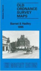
Barnet and Hadley in 1896 in a fascinating series of reproductions of old Ordnance Survey plans in the Alan Godfrey Editions, ideal for anyone interested in the history of their neighbourhood or family. The map shows parts of two communities, Chipping Barnet and Monken Hadley. Coverage extends from Wood Street, in Chipping Barnet, northward along
Paddington 1872 – 60.1
Paddington in 1872 in a fascinating series of reproductions of old Ordnance Survey plans in the Alan Godfrey Editions, ideal for anyone interested in the history of their neighbourhood or family. Three versions of this map show how the area developed across the years. The maps each cover the same area, stretching from Chepstow Place
Central Leeds 1906 – 218.02b
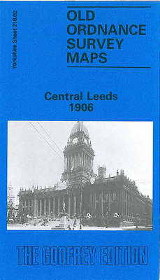
Leeds Central and North East in 1906 in a fascinating series of reproductions of old Ordnance Survey plans in the Alan Godfrey Editions, ideal for anyone interested in the history of their neighbourhood or family. Two versions have been published for this area. The map captures much of central Leeds, together with the Burmantofts and
Burton on Trent South 1900
Burton on Trent South in 1900 in a fascinating series of reproductions of old Ordnance Survey plans in the Alan Godfrey Editions, ideal for anyone interested in the history of their neighbourhood or family. Two versions have been published for this area. The maps cover the southern part of the town, extending from the railway
Sheffield Heeley 1903
Sheffield Heeley in 1903 in a fascinating series of reproductions of old Ordnance Survey plans in the Alan Godfrey Editions, ideal for anyone interested in the history of their neighbourhood or family. The map covers the southern part of Sheffield around Heeley, stretching from Valley Road eastward to Hurl Field, and from Prospect Road southward
Greenwich and the Isle of Dogs 1913
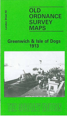
Greenwich and the Isle of Dogs in 1913 in a fascinating series of reproductions of old Ordnance Survey plans in the Alan Godfrey Editions, ideal for anyone interested in the history of their neighbourhood or family. Three versions have been published for this area, stretching from Deptford Creek eastward to Annandale Road and Selcroft Road,
Finchley and Holders Hill 1895
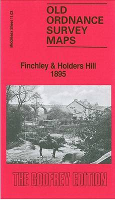
Finchley and Holders Hill in 1895 in a fascinating series of reproductions of old Ordnance Survey plans in the Alan Godfrey Editions, ideal for anyone interested in the history of their neighbourhood or family. The map covers the north-western area of Finchley, running from St Mary`s church and Regents Park Road westward, and with Holders
Great Bridge and Toll End 1902
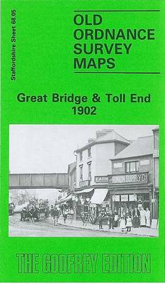
Great Bridge and Toll End in 1902 in a fascinating series of reproductions of old Ordnance Survey plans in the Alan Godfrey Editions, ideal for anyone interested in the history of their neighbourhood or family. The map covers the Great Bridge and Toll End area, west of West Bromwich, east of Tipton. Other districts include
West Bromwich 1902 – 68.10b
West Bromwich in 1902 in a fascinating series of reproductions of old Ordnance Survey plans in the Alan Godfrey Editions, ideal for anyone interested in the history of their neighbourhood or family. Two versions have been published for this area. The maps cover most of West Bromwich, stretching from Bond Street and St John`s church
Whitechapel, Spitalfields & The Bank 1873 – 63.1
Whitechapel, Spitalfields and The Bank in 1873 in a fascinating series of reproductions of old Ordnance Survey plans in the Alan Godfrey Editions, ideal for anyone interested in the history of their neighbourhood or family. Three versions of this map have been published, covering much of The City and extending across Whitechapel, Bishopsgate and Spitalfields.
Manchester Oxford Street and Gaythorn 1849
Oxford Street and Gaythorn area of Manchester in 1849 in a series of exceptionally detailed reproductions of old Ordnance Survey street plans for areas of larger cities which have undergone substantial redevelopment in the late 19th or the early 20th century, published in the Alan Godfrey Editions.The plans, printed in back and white, have been
Jesmond 1895
Jesmond in 1895 in a fascinating series of reproductions of old Ordnance Survey plans in the Alan Godfrey Editions, ideal for anyone interested in the history of their neighbourhood or family. Two maps have been published for this area to show how it has changed over the years. Features on the 1895 version show St
Central Belfast 1931 – 61.09
Belfast Central in 1931 in a fascinating series of reproductions of old Ordnance Survey plans in the Alan Godfrey Editions, ideal for anyone interested in the history of their neighbourhood or family. The central area of Belfast, with coverage stretching from Distillery Street eastward to Albert Bridge, and from Smithfield southward to Cromwell Road. Note
Sheffield Darnall 1903
Sheffield Darnall in 1903 in a fascinating series of reproductions of old Ordnance Survey plans in the Alan Godfrey Editions, ideal for anyone interested in the history of their neighbourhood or family. The map covers the eastern area of Sheffield, including Little Attercliffe and Darnall. Coverage stretches from Ripon Street eastward to High Hazels Park
City of York & Clifton 1907 – 174.06b
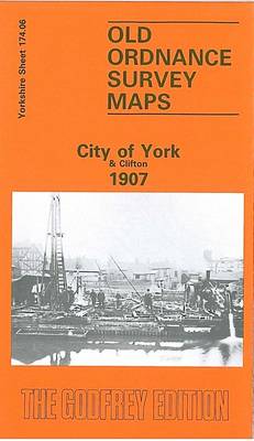
York City and Clifton in 1907 in a fascinating series of reproductions of old Ordnance Survey plans in the Alan Godfrey Editions, ideal for anyone interested in the history of their neighbourhood or family. Most of the city centre is covered, stretching from Ouse Bridge and Foss Bridge northward to Haxby Road and Fountayne Street;
Sheffield Park 1903
Sheffield Park in 1903 in a fascinating series of reproductions of old Ordnance Survey plans in the Alan Godfrey Editions, ideal for anyone interested in the history of their neighbourhood or family. The map covers the south-eastern area of Sheffield, around Norfolk Park and Bramall Lane. Coverage stretches from Bramall Lane eastward to City Road