Category Archives: Maps
Dulwich Village 1913
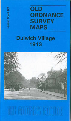
Dulwich Village in 1913 in a fascinating series of reproductions of old Ordnance Survey plans in the Alan Godfrey Editions, ideal for anyone interested in the history of their neighbourhood or family. Three versions for this area have been published, stretching from Gallery Road eastward to Honor Oak Road, and from Camberwell Cemetery southward to
North Woolwich 1894
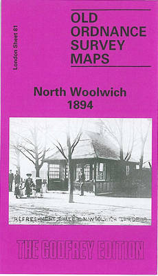
North Woolwich in 1894 in a fascinating series of reproductions of old Ordnance Survey plans in the Alan Godfrey Editions, ideal for anyone interested in the history of their neighbourhood or family. Three versions have been published for this area, with North Woolwich well covered but also with a stretch of Woolwich proper, including the
Shooters Hill 1866 – 107.1
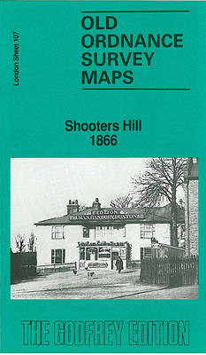
Shooters Hill in 1866 in a fascinating series of reproductions of old Ordnance Survey plans in the Alan Godfrey Editions, ideal for anyone interested in the history of their neighbourhood or family. Three versions for this area have been published, stretching from the Brook Hospital eastward to Oxleas Wood and Woodlands Farm, and from Genesta
Wath upon Dearne 1901

Wath upon Dearne in 1901 in a fascinating series of reproductions of old Ordnance Survey plans in the Alan Godfrey Editions, ideal for anyone interested in the history of their neighbourhood or family. The map covers the town of Wath upon Dearne, the village of West Melton, and the hamlets of Newhill, Gore Hill and
Langley and Londonderry 1902
Langley and Londonderry in 1902 in a fascinating series of reproductions of old Ordnance Survey plans in the Alan Godfrey Editions, ideal for anyone interested in the history of their neighbourhood or family. The map covers sections of both Worcestershire and Staffordshire (sheet 72.02) including Langley, Langley Green, Tat Bank, Rood End and Londonderry. The
Walthamstow West 1913
Walthamstow West in 1913 in a fascinating series of reproductions of old Ordnance Survey plans in the Alan Godfrey Editions, ideal for anyone interested in the history of their neighbourhood or family. Three versions have been published for this area, covering the western part of Walthamstow from the River Lea Navigation and Ferry Boat Inn
Brockley 1868 – 118.1
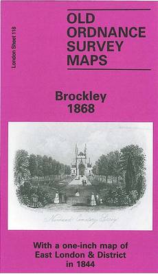
Brockley in 1868 in a fascinating series of reproductions of old Ordnance Survey plans in the Alan Godfrey Editions, ideal for anyone interested in the history of their neighbourhood or family. Three versions for this area have been published, stretching from Homestall Road and Ryehill Park eastward to Chudleigh Road and Hilly Fields, and from
Greets Green 1902
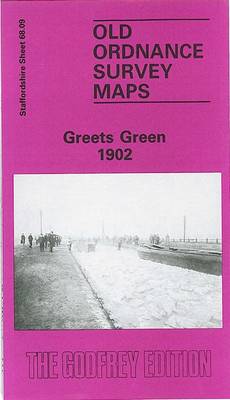
Greets Green in 1902 in a fascinating series of reproductions of old Ordnance Survey plans in the Alan Godfrey Editions, ideal for anyone interested in the history of their neighbourhood or family. The map covers the Greets Green area, west of West Bromwich, and extends westward to Tividale (bottom left corner) and Dudley Port station
Barnsley South East 1904
Barnsley South East in 1904 in a fascinating series of reproductions of old Ordnance Survey plans in the Alan Godfrey Editions, ideal for anyone interested in the history of their neighbourhood or family. The map covers the south-eastern quarter of Barnsley, extending eastward to Hunningley. The Barnsley portion includes Beevor Hall, Barnsley Cemetery, Cemetery Road,
Winson Green and Hockley 1903
Winson Green and Hockley in 1903 in a fascinating series of reproductions of old Ordnance Survey plans in the Alan Godfrey Editions, ideal for anyone interested in the history of their neighbourhood or family. Two versions have been published for this area; the maps cover the busy Winson Green part of north-west Birmingham, including parts
St Paul`s and Newgate 1873
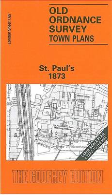
St Paul`s and Newgate area of London in 1873 in a series of exceptionally detailed reproductions of old Ordnance Survey street plans for areas of larger cities which have undergone substantial redevelopment in the late 19th or the early 20th century, published in the Alan Godfrey Editions.The plans, printed in back and white, have been
Holywood 1931
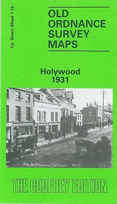
Holywood in 1931 in a fascinating series of reproductions of old Ordnance Survey plans in the Alan Godfrey Editions, ideal for anyone interested in the history of their neighbourhood or family. The map is double-sided and covers most of the town of Holywood, east of Belfast. The main map covers the area from Holywood Barracks
Leytonstone & Leyton 1915 – 23.3
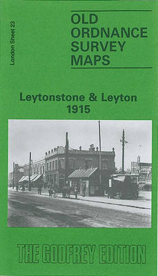
Leytonstone and Leyton in 1915 in a fascinating series of reproductions of old Ordnance Survey plans in the Alan Godfrey Editions, ideal for anyone interested in the history of their neighbourhood or family. Two versions for this area have been published, stretching from Manor Road and Lea Hall Road eastward to Poppleton Road and St
Warley 1902
Warley in 1902 in a fascinating series of reproductions of old Ordnance Survey plans in the Alan Godfrey Editions, ideal for anyone interested in the history of their neighbourhood or family. The map covers what was still the largely rural area around Warley, stretching from Causeway Green south-east towards Warley Abbey. Features include Warley Abbey
Darlington (South) 1898 – 55.10a
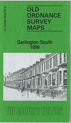
Darlington South in 1898 in a fascinating series of reproductions of old Ordnance Survey plans in the Alan Godfrey Editions, ideal for anyone interested in the history of their neighbourhood or family. The map covers the southern part of the town around the main railway station and includes the railway approaches to the south with
Hexham 1896
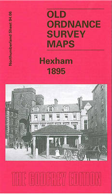
Hexham in 1896 in a fascinating series of reproductions of old Ordnance Survey plans in the Alan Godfrey Editions, ideal for anyone interested in the history of their neighbourhood or family. T: the map covers most of this historic town. Features include St Andrew`s church, Abbey remains, Gilesgate, Beaumont Street, Battle Hill, Cattle Market, Priestpopple,
Horbury 1905
Horbury in 1905 in a fascinating series of reproductions of old Ordnance Survey plans in the Alan Godfrey Editions, ideal for anyone interested in the history of their neighbourhood or family. The map covers Horbury and Horbury Bridge, just west of Wakefield. The small town of Horbury is on the right hand side of the
South Oxford 1898 – 39.03
South Oxford in 1898 in a fascinating series of reproductions of old Ordnance Survey plans in the Alan Godfrey Editions, ideal for anyone interested in the history of their neighbourhood or family. Two maps of Oxford are published in this series; they link up with each other to provide quite good coverage of the city,
Victoria Park 1889
Victoria Park in 1889 in a fascinating series of reproductions of old Ordnance Survey plans in the Alan Godfrey Editions, ideal for anyone interested in the history of their neighbourhood or family. STwo versions have been published for this area. The maps cover south Manchester around and to the north of Victoria Park, including part
Barnet and Hadley 1896
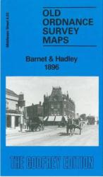
Barnet and Hadley in 1896 in a fascinating series of reproductions of old Ordnance Survey plans in the Alan Godfrey Editions, ideal for anyone interested in the history of their neighbourhood or family. The map shows parts of two communities, Chipping Barnet and Monken Hadley. Coverage extends from Wood Street, in Chipping Barnet, northward along