Category Archives: Maps
New Hartley and Delaval Hall 1896
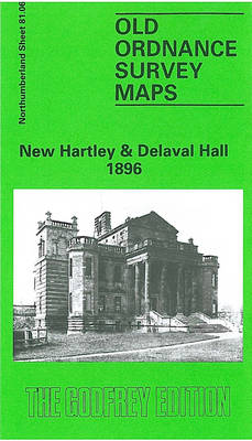
New Hartley and Delaval Hall in 1896 in a fascinating series of reproductions of old Ordnance Survey plans in the Alan Godfrey Editions, ideal for anyone interested in the history of their neighbourhood or family. The map is double-sided and on the reverse shows part of the area in 1857 to cover Seaton Delaval Hall.
Gateshead East 1895

Gateshead East in 1895 in a fascinating series of reproductions of old Ordnance Survey plans in the Alan Godfrey Editions, ideal for anyone interested in the history of their neighbourhood or family. The map of Gateshead East stretches from Moratio Street and St Anthony`s Vicarage in the north to Sunderland Road and Brewery Lane in
Cullercoats and Whitley 1895
Cullercoats and Whitley in 1895 in a fascinating series of reproductions of old Ordnance Survey plans in the Alan Godfrey Editions, ideal for anyone interested in the history of their neighbourhood or family. The map is double-sided and shows the area in 1895 and 1919. Features on the 1895 version show the NER railway line
Holland Park & Shepherds Bush 1871 – 73.1
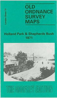
Holland Park and Shepherds Bush in 1871 in a fascinating series of reproductions of old Ordnance Survey plans in the Alan Godfrey Editions, ideal for anyone interested in the history of their neighbourhood or family. Three versions cover this area, stretching from Iffley Road, Hammersmith eastward to Phillimore Gardens, Kensington; and from Royal Crescent and
Alexandra Park & South Friern 1894 – 6a

Alexandra Park and South Friern in 1894 in a fascinating series of reproductions of old Ordnance Survey plans in the Alan Godfrey Editions, ideal for anyone interested in the history of their neighbourhood or family. Three maps have been published for this area, extemding from Coppetts Road eastward to Prince`s Avenue, and from Cromwell Road
Stoke Newington 1914 – 30.3
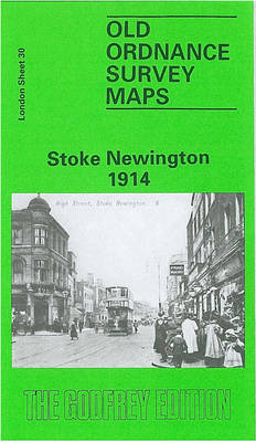
Stoke Newington in 1914 in a fascinating series of reproductions of old Ordnance Survey plans in the Alan Godfrey Editions, ideal for anyone interested in the history of their neighbourhood or family. Three versions cover the same area, stretching from Petherton Road and Clissold Park eastward to Upper Clapton Road and Cricketfield Road, and from
Clydebank 1896
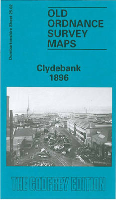
Clydebank in 1896 in a fascinating series of reproductions of old Ordnance Survey plans in the Alan Godfrey Editions, ideal for anyone interested in the history of their neighbourhood or family. Coverage stretches from the Kilbowie Factory southward to the Old Canal and Hamilton Free Church. Features include Kilbowie Sewing Machine Factory, Clydebank Engineering &
Mill Hill Village 1898
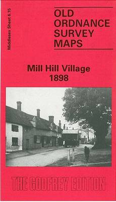
Mill Hill Village in 1898 in a fascinating series of reproductions of old Ordnance Survey plans in the Alan Godfrey Editions, ideal for anyone interested in the history of their neighbourhood or family. The map covers the area of Mill Hill later known as the Village, which had become a `gentleman`s suburb` by 1800. Hamlets
Nether Edge 1903
Nether Edge in 1903 in a fascinating series of reproductions of old Ordnance Survey plans in the Alan Godfrey Editions, ideal for anyone interested in the history of their neighbourhood or family. The map covers the south-western area of Sheffield towards Carter Knowle. Coverage stretches from Valley Road westward to Hill Lane and Banners Cross
Willington Quay 1895
Willington Quay in 1895 in a fascinating series of reproductions of old Ordnance Survey plans in the Alan Godfrey Editions, ideal for anyone interested in the history of their neighbourhood or family. The map covers the area north of the Tyne and stretches to Rosehill. Features include Wallsend Cemetery, Football Ground, St Pauls Church, Willington
Perivale 1894
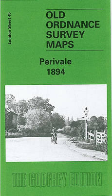
Perivale in 1894 in a fascinating series of reproductions of old Ordnance Survey plans in the Alan Godfrey Editions, ideal for anyone interested in the history of their neighbourhood or family. Two versions of this map have been published; the map covers the northern area of Ealing around Perivale and Pitshanger Lane, stretching from Thames
Poulton-le-Fylde 1910 – 51.02
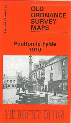
Poulton-le-Fylde in 1910 in a fascinating series of reproductions of old Ordnance Survey plans in the Alan Godfrey Editions, ideal for anyone interested in the history of their neighbourhood or family. The map covers the historic village of Poulton-le-Fylde, just east of Blackpool. In 1837 this was described as “an ancient port and metropolis of
N.W. Leeds 1908 – 218.01b
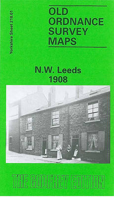
Leeds North West in 1908 in a fascinating series of reproductions of old Ordnance Survey plans in the Alan Godfrey Editions, ideal for anyone interested in the history of their neighbourhood or family. Two versions have been published for this area. The maps covers the west and north-west of Leeds, encompassing a portion of the
Middlesbrough North 1913
Middlesbrough North in 1913 in a fascinating series of reproductions of old Ordnance Survey plans in the Alan Godfrey Editions, ideal for anyone interested in the history of their neighbourhood or family. Two versions have been published for this area. The map extends from the railway station and Zetland Street northward to the river, including
Tipton 1904
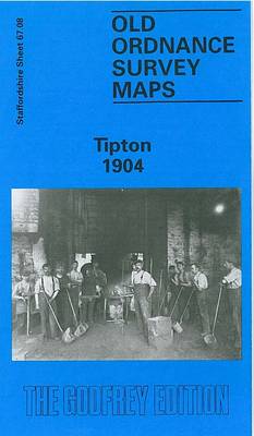
Tipton in 1904 in a fascinating series of reproductions of old Ordnance Survey plans in the Alan Godfrey Editions, ideal for anyone interested in the history of their neighbourhood or family. The map covers an industrial area in the northern part of Tipton, extending northward to Bloomfield, Tibbington, Summer Hill, Princes End,Walbrook, and westward to
Brockley 1868 – 118.1
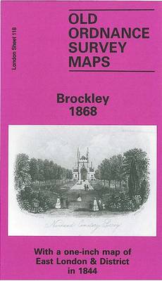
Brockley in 1868 in a fascinating series of reproductions of old Ordnance Survey plans in the Alan Godfrey Editions, ideal for anyone interested in the history of their neighbourhood or family. Three versions for this area have been published, stretching from Homestall Road and Ryehill Park eastward to Chudleigh Road and Hilly Fields, and from
Greets Green 1902
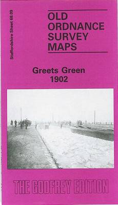
Greets Green in 1902 in a fascinating series of reproductions of old Ordnance Survey plans in the Alan Godfrey Editions, ideal for anyone interested in the history of their neighbourhood or family. The map covers the Greets Green area, west of West Bromwich, and extends westward to Tividale (bottom left corner) and Dudley Port station
Barnsley South East 1904
Barnsley South East in 1904 in a fascinating series of reproductions of old Ordnance Survey plans in the Alan Godfrey Editions, ideal for anyone interested in the history of their neighbourhood or family. The map covers the south-eastern quarter of Barnsley, extending eastward to Hunningley. The Barnsley portion includes Beevor Hall, Barnsley Cemetery, Cemetery Road,
Winson Green and Hockley 1903
Winson Green and Hockley in 1903 in a fascinating series of reproductions of old Ordnance Survey plans in the Alan Godfrey Editions, ideal for anyone interested in the history of their neighbourhood or family. Two versions have been published for this area; the maps cover the busy Winson Green part of north-west Birmingham, including parts