Category Archives: Maps
Liverpool Toxteth 1906
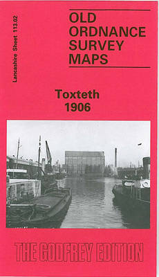
Toxteth in 1906 in a fascinating series of reproductions of old Ordnance Survey plans in the Alan Godfrey Editions, ideal for anyone interested in the history of their neighbourhood or family. The map is double-sided and covers an area of south Liverpool, largely comprising the western half of Toxteth. Coverage of the main map stretches
Putney Bridge 1894 – 99.2
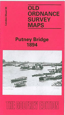
Putney Bridge in 1894 in a fascinating series of reproductions of old Ordnance Survey plans in the Alan Godfrey Editions, ideal for anyone interested in the history of their neighbourhood or family. Three versions for this area have been published to show how it developed across the years. The maps each cover the same area,
Aberystwyth 1904
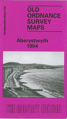
Aberystwyth in 1904 in a fascinating series of reproductions of old Ordnance Survey plans in the Alan Godfrey Editions, ideal for anyone interested in the history of their neighbourhood or family. Features include the Cambrian station, engine sheds, Vale of Rheidol station, Pont Aberystwyth, University College (in town, not today`s buildings), St Michael`s church, Royal
Shoreditch 1914 – 51.3
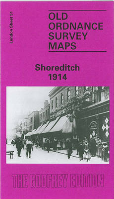
Shoreditch in 1914 in a fascinating series of reproductions of old Ordnance Survey plans in the Alan Godfrey Editions, ideal for anyone interested in the history of their neighbourhood or family. Three versions of this map have been published, stretching from Cropley Street and City Road eastward to Cambridge Road and Corfield Street, and from
Ossett Central 1890

Central Ossett in 1890 in a fascinating series of reproductions of old Ordnance Survey plans in the Alan Godfrey Editions, ideal for anyone interested in the history of their neighbourhood or family. Two versions have been published for this area, extending southward to Sowood Farm and Ossett Spa, and eastward to Haggs Lane. Features include
Euston & Regent`s Park 1894 – 49.2
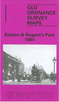
Euston and Regent`s Park in 1894 in a fascinating series of reproductions of old Ordnance Survey plans in the Alan Godfrey Editions, ideal for anyone interested in the history of their neighbourhood or family. Three versions of this map cover the same area stretching from Baker Street station eastward to Tavistock Square and from The
St Albans South-West 1897

St Albans South-West in 1897 in a fascinating series of reproductions of old Ordnance Survey plans in the Alan Godfrey Editions, ideal for anyone interested in the history of their neighbourhood or family. St Albans is covered by four maps. This title covers the south-western section, including part of the city centre. Coverage runs from
Creekmouth 1894 – 68.2
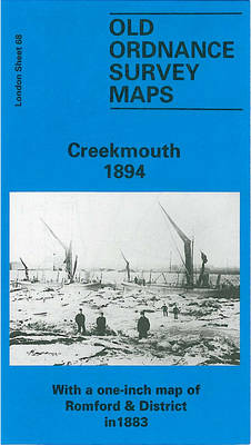
Creekmouth in 1894 in a fascinating series of reproductions of old Ordnance Survey plans in the Alan Godfrey Editions, ideal for anyone interested in the history of their neighbourhood or family. Two versions cover the area centred on Barking Creek, where the River Roding meets the Thames. At the time Creekmouth was described as “an
Accrington 1909
Accrington in 1909 in a fascinating series of reproductions of old Ordnance Survey plans in the Alan Godfrey Editions, ideal for anyone interested in the history of their neighbourhood or family. The map covers most of Accrington and its southern surburbs, stretching from Park Road eastward to Arden Hall and Owl Hall, and from Hyndburn
Crystal Palace 1871 – 7.10
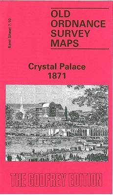
Crystal Palace in 1871 in a fascinating series of reproductions of old Ordnance Survey plans in the Alan Godfrey Editions, ideal for anyone interested in the history of their neighbourhood or family. Two versions have been published to show how the area developed across the years – the two maps are from different series, for
New Brighton 1909
New Brighton in 1909 in a fascinating series of reproductions of old Ordnance Survey plans in the Alan Godfrey Editions, ideal for anyone interested in the history of their neighbourhood or family. Two versions of this map have been published and each one includes a large section of adjacent sheet 7.06, extending coverage westward to
Dunston 1894
Dunston in 1894 in a fascinating series of reproductions of old Ordnance Survey plans in the Alan Godfrey Editions, ideal for anyone interested in the history of their neighbourhood or family. The town on the eastern side of the maps and coverages stretches west to include Whickham Hall and Dockendale Hall. Features include Dunston Lodge,
Bootle Docks & Seaforth 1907 – 99.13
Bootle Docks in 1907 in a fascinating series of reproductions of old Ordnance Survey plans in the Alan Godfrey Editions, ideal for anyone interested in the history of their neighbourhood or family. The map is double-sided; the main map covers much of Seaforth, together with part of north Bootle including Linacre Ward. Coverage stretches from
Tranmere & Oxton 1909
Tranmere and Oxton in 1909 in a fascinating series of reproductions of old Ordnance Survey plans in the Alan Godfrey Editions, ideal for anyone interested in the history of their neighbourhood or family. The map covers the southern area of Birkenhead around Tranmere, Devonshire Park and east Oxton. Coverage stretches from Oxton Hall and Talbot
The Falls 1931 – 60.12
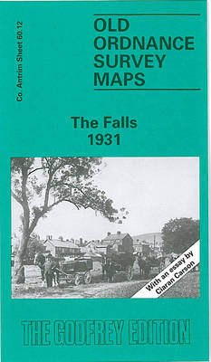
The Falls Road area of Belfast in 1931 in a fascinating series of reproductions of old Ordnance Survey plans in the Alan Godfrey Editions, ideal for anyone interested in the history of their neighbourhood or family. Coverage stretches from Roden Street westward to Whiterock Road and Falls Park, and from Cupar Street southward to Donegall
North Chorley 1909 – 77.08
Chorley North in 1909 in a fascinating series of reproductions of old Ordnance Survey plans in the Alan Godfrey Editions, ideal for anyone interested in the history of their neighbourhood or family. The map covers the northern part of Chorley, stretching from Hollinshead Street northward to Hartwood Hall, and from Park Road eastward to Lower
Cullercoats and Whitley 1895
Cullercoats and Whitley in 1895 in a fascinating series of reproductions of old Ordnance Survey plans in the Alan Godfrey Editions, ideal for anyone interested in the history of their neighbourhood or family. The map is double-sided and shows the area in 1895 and 1919. Features on the 1895 version show the NER railway line
Holland Park & Shepherds Bush 1871 – 73.1
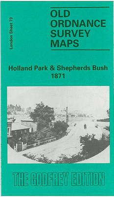
Holland Park and Shepherds Bush in 1871 in a fascinating series of reproductions of old Ordnance Survey plans in the Alan Godfrey Editions, ideal for anyone interested in the history of their neighbourhood or family. Three versions cover this area, stretching from Iffley Road, Hammersmith eastward to Phillimore Gardens, Kensington; and from Royal Crescent and
Alexandra Park & South Friern 1894 – 6a

Alexandra Park and South Friern in 1894 in a fascinating series of reproductions of old Ordnance Survey plans in the Alan Godfrey Editions, ideal for anyone interested in the history of their neighbourhood or family. Three maps have been published for this area, extemding from Coppetts Road eastward to Prince`s Avenue, and from Cromwell Road