Category Archives: Maps
Inverness West 1903

Inverness West in 1903 in a fascinating series of reproductions of old Ordnance Survey plans in the Alan Godfrey Editions, ideal for anyone interested in the history of their neighbourhood or family. The map covers the western part of Inverness, stretching from Castle Street westward to the Caledonian Canal and Kinmylies, and from Rose Street
Manchester: London Road 1849
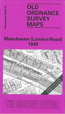
London Road area of Manchester in 1849 in a series of exceptionally detailed reproductions of old Ordnance Survey street plans for areas of larger cities which have undergone substantial redevelopment in the late 19th or the early 20th century, published in the Alan Godfrey Editions.The plans, printed in back and white, have been taken from
Wandsworth 1894 – 114a
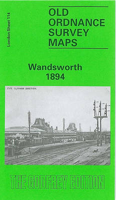
Wandsworth in 1894 in a fascinating series of reproductions of old Ordnance Survey plans in the Alan Godfrey Editions, ideal for anyone interested in the history of their neighbourhood or family. Two versions have been published for this area, extending from Red Lion Street and the River Wandle eastwards to Leathwaite Road, and from St
Knaresborough 1909

Knaresborough in 1909 in a fascinating series of reproductions of old Ordnance Survey plans in the Alan Godfrey Editions, ideal for anyone interested in the history of their neighbourhood or family. Most of the town is covered, stretching from Conyngham Hall eastward to Hay-a-Park. Features include the railway and station, River Nidd, Beech Hill, Spital
Bootle 1907
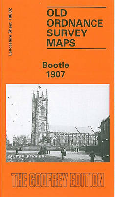
Bootle in 1907 in a fascinating series of reproductions of old Ordnance Survey plans in the Alan Godfrey Editions, ideal for anyone interested in the history of their neighbourhood or family. The map covers much of Bootle, north of Liverpool, stretching from Derby Road eastward to City Road, and from Strand Road southward to Brunswick
Penrith 1923
Penrith in 1923 in a fascinating series of reproductions of old Ordnance Survey plans in the Alan Godfrey Editions, ideal for anyone interested in the history of their neighbourhood or family. The map covers most of the town of Penrith, stretching from the railway station northward to Fair Hill and the cemetery, and from Fell
Evesham North 1903
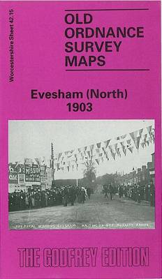
Evesham North in 1903 in a fascinating series of reproductions of old Ordnance Survey plans in the Alan Godfrey Editions, ideal for anyone interested in the history of their neighbourhood or family. The map covers the northern part of Evesham, extending northward to Green Hill and Twyford House, westward to Rawlings Farm. Features include GWR
Battersea & Clapham 1894 – 101.2
Battersea and Clapham in 1894 Battersea in a fascinating series of reproductions of old Ordnance Survey plans in the Alan Godfrey Editions, ideal for anyone interested in the history of their neighbourhood or family. Three versions have been published for this area, stretching from Eland Road and Culvert Road eastward to Hartington Road and Jeffrey`s
Mesty Croft 1888
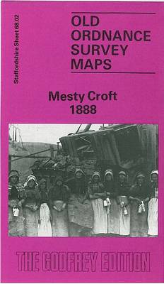
Mesty Croft in 1888 in a fascinating series of reproductions of old Ordnance Survey plans in the Alan Godfrey Editions, ideal for anyone interested in the history of their neighbourhood or family. Two versions have been published for this area. The map covers the Mesty Croft area east of Wednesbury, including the eastern edge of
Bradford East 1906
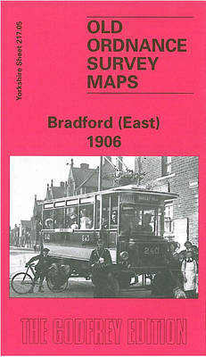
Bradford East in 1906 in a fascinating series of reproductions of old Ordnance Survey plans in the Alan Godfrey Editions, ideal for anyone interested in the history of their neighbourhood or family. The map covers the eastern part of Bradford, including Laisterdyke and Tyersall. Coverage stretches from Birksland Street eastward to Tyersall Hall and from
Notting Hill 1871 – 59.1
Notting Hill in 1871 in a fascinating series of reproductions of old Ordnance Survey plans in the Alan Godfrey Editions, ideal for anyone interested in the history of their neighbourhood or family. Three versions of this map cover the area from White City eastward to Pembridge Square and St Stephen`s Square, and capture the part
Liverpool North 1906
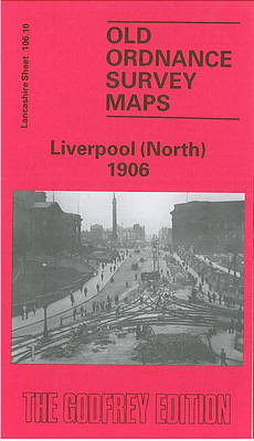
Liverpool North in 1906 in a fascinating series of reproductions of old Ordnance Survey plans in the Alan Godfrey Editions, ideal for anyone interested in the history of their neighbourhood or family. The map is double-sided; the main map covers a major northern part of the city, stretching from King Edward Street eastward to Everton
Pollokshields 1894
Pollockshields area of Glasgow in 1894 in a fascinating series of reproductions of old Ordnance Survey plans in the Alan Godfrey Editions, ideal for anyone interested in the history of their neighbourhood or family.The map covers part of south Glasgow, including much of Pollokshields, Laurieston, Port Eglinton and Kinning Park. Coverage stretches from Ardgown Street
Seaton Carew 1894
Seaton Carew in 1894 in a fascinating series of reproductions of old Ordnance Survey plans in the Alan Godfrey Editions, ideal for anyone interested in the history of their neighbourhood or family. The map covers almost all this small resort and extends westward to Stranton Grange and Cold Knuckles, still an area of open countryside
Carlisle South-West 1924
Carlisle South-West in 1924 in a fascinating series of reproductions of old Ordnance Survey plans in the Alan Godfrey Editions, ideal for anyone interested in the history of their neighbourhood or family. Carlisle is covered by four maps. This title covers the south-western area, extending from Crown Street and Red Bank Terrace westward to Morton
Willenhall & Darlaston Green 1888 – 63.09a
Willenhall and Darlaston Green in 1888 in a fascinating series of reproductions of old Ordnance Survey plans in the Alan Godfrey Editions, ideal for anyone interested in the history of their neighbourhood or family. Two versions have been published for this area. Coverage stretches from Willenhall Lower Lichfield Street eastward to Darlaston & James Bridge
Central Newcastle 1894 – 11a
Central Newcastle in 1894 in a fascinating series of reproductions of old Ordnance Survey plans in the Alan Godfrey Editions, ideal for anyone interested in the history of their neighbourhood or family. Two maps have have been published for this area to show how it has changed over the years. Coverage stretches from Clayton Road
Streatham Hill & Tulse Hill 1894 – 126.2
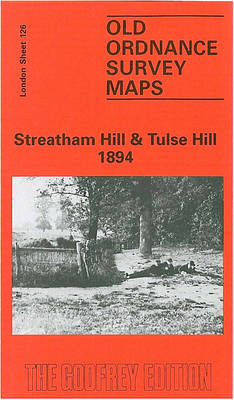
Streatham Hill and Tulse Hill in 1894 in a fascinating series of reproductions of old Ordnance Survey plans in the Alan Godfrey Editions, ideal for anyone interested in the history of their neighbourhood or family. Three versions cover this area, extending from Streatham Hill eastward to West Dulwich station, and from Brockwell Park southward to
Leicester North West 1902
Leicester North West in 1902 in a fascinating series of reproductions of old Ordnance Survey plans in the Alan Godfrey Editions, ideal for anyone interested in the history of their neighbourhood or family. Leicester is covered by six maps.This title covers part of central Leicester, together with its north-western suburbs, stretching from Granby Street and
Liverpool Edge Hill 1905
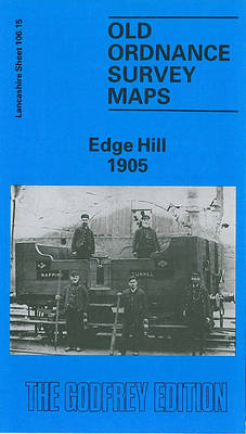
Edge Hill in 1905 in a fascinating series of reproductions of old Ordnance Survey plans in the Alan Godfrey Editions, ideal for anyone interested in the history of their neighbourhood or family. The map covers a major area of east Liverpool, stretching from Grove Street eastward to Wavertree station, and from Edge Lane southward to