Category Archives: Maps
Gillingham (Dorset) 1900
Gillingham in Dorset in 1900 in a fascinating series of reproductions of old Ordnance Survey plans in the Alan Godfrey Editions, ideal for anyone interested in the history of their neighbourhood or family. The map is double-sided to provide maximum coverage. The main map covers the area from St Mary`s church and the town centre
Wallasey Village 1898

Wallasey Village in 1898 in a fascinating series of reproductions of old Ordnance Survey plans in the Alan Godfrey Editions, ideal for anyone interested in the history of their neighbourhood or family. The map covers the village of Wallasey before large scale development. Features include railway with Wallasey station, St Hilary`s church, Cottage Hospital, golf
Shaftesbury 1900
Shaftesbury in 1900 in a fascinating series of reproductions of old Ordnance Survey plans in the Alan Godfrey Editions, ideal for anyone interested in the history of their neighbourhood or family. The map covers the hill-top town of Shaftesbury. Features include the town centre, Holy Trinity church, High Street, St James, Butts Knap, Hawksdean Lane,
Poplar 1914 – 65.3
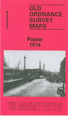
Poplar in 1914 in a fascinating series of reproductions of old Ordnance Survey plans in the Alan Godfrey Editions, ideal for anyone interested in the history of their neighbourhood or family. Three versions cover the area stretching from Upper North Street at Poplar eastward to Rathbone Street at Canning Town, and from Empson Street and
Watford South and New Bushey 1896
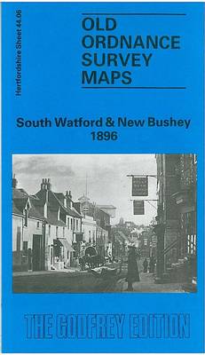
South Watford and New Bushey in 1896 in a fascinating series of reproductions of old Ordnance Survey plans in the Alan Godfrey Editions, ideal for anyone interested in the history of their neighbourhood or family. The map is double-sided, to give maximum coverage of the town. The main map covers the town centre, extending westward
Swanage 1900
Swanage in 1900 in a fascinating series of reproductions of old Ordnance Survey plans in the Alan Godfrey Editions, ideal for anyone interested in the history of their neighbourhood or family. Coverage extends from the coast and Peveril Point westward to Herston and northward to Caldron Barn Farm, about half a mile north of the
Harrogate 1908

Harrogate in 1908 in a fascinating series of reproductions of old Ordnance Survey plans in the Alan Godfrey Editions, ideal for anyone interested in the history of their neighbourhood or family. SCoverage stretches from Valley Gardens eastward to Silker Fields and Hurstleigh Terrace, and from Mayfield Terrace southward to Trinity church. Features include the town
Dundee West 1901
Dundee West in 1901 in a fascinating series of reproductions of old Ordnance Survey plans in the Alan Godfrey Editions, ideal for anyone interested in the history of their neighbourhood or family. The map covers the western part of Dundee, stretching from Seagate and William Street westward to City Road, and from Ward Road northward
Dundee East 1901
Dundee East in 1901 in a fascinating series of reproductions of old Ordnance Survey plans in the Alan Godfrey Editions, ideal for anyone interested in the history of their neighbourhood or family. The map covers the eastern half of Dundee, stretching from Brown Constable Street eastward to the Eastern Necropolis, and from Sandeman Street southward
Tamworth 1900
Tamworth in 1900 in a fascinating series of reproductions of old Ordnance Survey plans in the Alan Godfrey Editions, ideal for anyone interested in the history of their neighbourhood or family. The map is double-sided. The main map covers the centre and east of the town, extending eastward about a mile to Royals Farm and
Carlisle South-East 1924
Carlisle South-East in 1924 in a fascinating series of reproductions of old Ordnance Survey plans in the Alan Godfrey Editions, ideal for anyone interested in the history of their neighbourhood or family. Carlisle is covered by four maps. This title covers the south-eastern area, stretching from Cecil Street eastward to Durranhill Park and southward to
Pimlico, Sloane Square & Nine Elms 1894 – 88.2
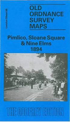
Pimlico, Sloane Square and Nine Elms in 1894 in a fascinating series of reproductions of old Ordnance Survey plans in the Alan Godfrey Editions, ideal for anyone interested in the history of their neighbourhood or family. Three versions have been published for this area, stretching from Chelsea Royal Hospital eastward to Vauxhall Bridge, and from
Runcorn 1905 – 115.13b
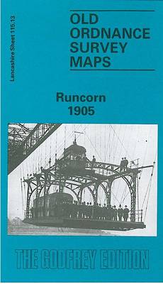
Runcorn in 1905 in a fascinating series of reproductions of old Ordnance Survey plans in the Alan Godfrey Editions, ideal for anyone interested in the history of their neighbourhood or family. Tthe map covers the main area of Runcorn, plus the southern tip of Widnes around West Bank. Coverage stretches from West Street Widnes southward
Wimborne Minster 1900
Wimborne Minster in 1900 in a fascinating series of reproductions of old Ordnance Survey plans in the Alan Godfrey Editions, ideal for anyone interested in the history of their neighbourhood or family. The map is double-sided to provide maximum coverage. The main map covers the area from Little Pamphill eastward to the town centre, and
Highbury & Islington 1871 – 39.1
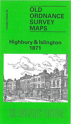
Highbury and Islington in 1871 in a fascinating series of reproductions of old Ordnance Survey plans in the Alan Godfrey Editions, ideal for anyone interested in the history of their neighbourhood or family. Three versions of this map cover the same area, fromYork Road eastward to Rotherfield Street, and from Cloudsley Square northward to Witherington
Barnsley South 1904
Barnsley South in 1904 in a fascinating series of reproductions of old Ordnance Survey plans in the Alan Godfrey Editions, ideal for anyone interested in the history of their neighbourhood or family. The map covers the south west area of Barnsley, extending west to Gilroyd and Keresforth Hill. Features include Keresforth Hill Farm, St Thomas
Bootle 1907
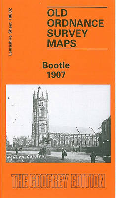
Bootle in 1907 in a fascinating series of reproductions of old Ordnance Survey plans in the Alan Godfrey Editions, ideal for anyone interested in the history of their neighbourhood or family. The map covers much of Bootle, north of Liverpool, stretching from Derby Road eastward to City Road, and from Strand Road southward to Brunswick
Penrith 1923
Penrith in 1923 in a fascinating series of reproductions of old Ordnance Survey plans in the Alan Godfrey Editions, ideal for anyone interested in the history of their neighbourhood or family. The map covers most of the town of Penrith, stretching from the railway station northward to Fair Hill and the cemetery, and from Fell
Evesham North 1903
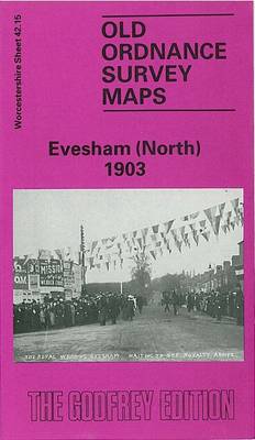
Evesham North in 1903 in a fascinating series of reproductions of old Ordnance Survey plans in the Alan Godfrey Editions, ideal for anyone interested in the history of their neighbourhood or family. The map covers the northern part of Evesham, extending northward to Green Hill and Twyford House, westward to Rawlings Farm. Features include GWR
Battersea & Clapham 1894 – 101.2
Battersea and Clapham in 1894 Battersea in a fascinating series of reproductions of old Ordnance Survey plans in the Alan Godfrey Editions, ideal for anyone interested in the history of their neighbourhood or family. Three versions have been published for this area, stretching from Eland Road and Culvert Road eastward to Hartington Road and Jeffrey`s