Category Archives: Maps
Transylvania
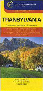
Transylvania on an indexed road map at 1:500,000 from the Hungarian publishers Cartographia. The map provides slightly wider coverage than found on other maps of this region, extending south to include the Iron Gate gorges along the Danube and Bucharest. Relief shading with plenty of names of peaks and mountain ranges gives a good representation
Congo, Democratic Republic
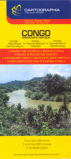
Detailed road map with an inset showing a street plan of the central part of Kinshasa. Relief shading shows the topography. Six different types of roads and tracks are shown, indicating those passable only in the dry season, with intermediate driving distances on main roads. The map also shows railways, airports and ports, river navigational
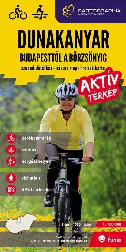
Borzsony Cartographia Tourist Map 5

Borzsonyin a series of contoured hiking and recreational maps from the Budapest based Cartographia, with hiking routes and other tourist information, including in many titles street plans, cycling trails, etc. The maps have contours at 10m intervals with relief shading and spot heights, plus colouring and/or graphics to indicate different types of vegetation. An overprint
Buda Hills Cartographia Tourist Map 6
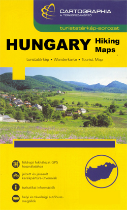
Buda Hillsin a series of contoured hiking and recreational maps from the Budapest based Cartographia, with hiking routes and other tourist information, including in many titles street plans, cycling trails, etc. The maps have contours at 10m intervals with relief shading and spot heights, plus colouring and/or graphics to indicate different types of vegetation. An
Bucharest
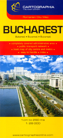
Plan of the city with its outer suburbs, showing administrative districts. An enlargement at 1:10,000 shows the centre, a diagram shows the metro network, and a road map at 1:300,000 covers the environs of the capital. Both the main plan and the enlargement show bus, trolleybus, tram, metro and railway lines. A range of symbols
Iasi Cartographia Street Plan

Iasi on a street plan at 1:14,500 from Hungarian publishers Cartographia with an enlargement of its town centre, plus a road map of the environs. The index includes an extensive list of various facilities and places of interest, including hotels, museums and monuments, etc.Unusually for street plans, the base has contours (20m intervals) to present
Budapest City Plan
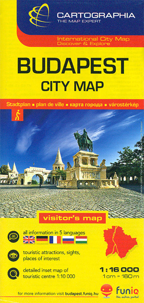
Budapest at 1:16,000 from Cartographia on an indexed plan covering the centre with the surrounding districts, plus an enlargement presenting the centre in greater detail, plus public transport diagrams including night bus services.On one side the plan at 1:16,000 covers the city from the Buda Hills to the Hungexpo grounds, and north/south from the Hajรณgyรกri
Brasov – Targu Mures Cartographia Street Plan

Romanian towns of Brasov and Targu Mures on a double-sided map from the Budapest-based Cartographia. Each town is shown with an enlargement of its central area, an index including lists of sights and facilities, plus a small road map of the surrounding region.On one side is a plan of Brasov at 1:15,000; insets at reduced
Drava Cartographia Water Sports & Cycling Map
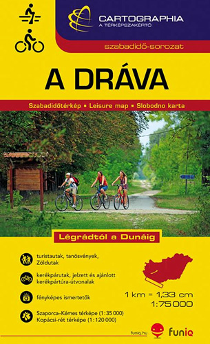
The course of the river Drava along the border of Hungary and Croatia and its section in Croatia to is confluence with the Danube on a detailed contoured map at 1:75,000 from Cartographia in Budapest highlighting waymarked and recommended cycling routes, etc.The course of the river is presented on four panels. An overprint highlights waymarked
Sfรขntu Gheorghe Cartographia Street Plan
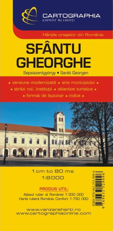
Our series of Romanian cities contains the largest and most popular tourist destinations. Publications made with professional spot and frequent updates are rich in detail and aesthetic. On the backside of the list of attractions, there is a street list with old and new street names, sometimes in several languages, as well as a list
Pรฉcs
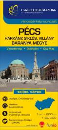
Pรฉcs in a series of street plans of Hungary’s main towns from Cartographia in Budapest. The plans cover the whole town with its outer suburbs and, where appropriate, have an enlargement for the central area. All the plans have a street index.Map legend varies; in plans of larger towns or popular tourist destinations it usually
Siofok
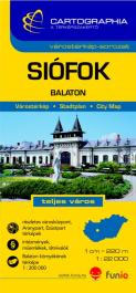
Siรณfok in a series of street plans of Hungary’s main towns from Cartographia in Budapest. The plans cover the whole town with its outer suburbs and, where appropriate, have an enlargement for the central area. All the plans have a street index.Map legend varies; in plans of larger towns or popular tourist destinations it usually
Sopron

Sopron in western Hungary on a street plan at 1:12,500, with a more detailed enlargement of its historic town centre, plus on the reverse a road map at 1:230,000 covering the region between Sopron and Gyor.On one side a street plan covers Sopron; three insets at a slightly reduced scale of 1:20,000 extend coverage to
Szeged
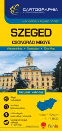
Szeged in a series of street plans of Hungary’s main towns from Cartographia in Budapest. The plans cover the whole town with its outer suburbs and, where appropriate, have an enlargement for the central area. All the plans have a street index.Map legend varies; in plans of larger towns or popular tourist destinations it usually
Hungary EXTRA Road Map with Index
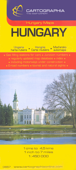
Clear, indexed, road map of Hungary with a hard plastified cover, from Hungary`s leading cartographic publisher, Cartographia.Road details include six different kinds of roads plus tracks, with intermediate driving distances, petrol stations, and names and numbers on major roads. Railways, national and international boundaries with border crossings, ferry lines on rivers and airports are also
Szekesfehervar – Fejer County

Szรฉkesfehรฉrvรกr in a series of street plans of Hungary’s main towns from Cartographia in Budapest. The plans cover the whole town with its outer suburbs and, where appropriate, have an enlargement for the central area. All the plans have a street index.Map legend varies; in plans of larger towns or popular tourist destinations it usually
Budapest Pocket Atlas
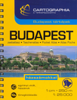
Cartographia’s pocket street atlas of Budapest in a spiral-bound format, with an enlargement for the city center, plans of the metro system and night bus services, plus a comprehensive index of bus routes, tramlines, night services, all rail/metro lines and street names.Road classification has four different classes of roads, plus pedestrian only footpaths. City and
Szolnok
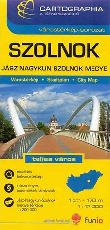
Szolnok in a series of street plans of Hungary’s main towns from Cartographia in Budapest. The plans cover the whole town with its outer suburbs and, where appropriate, have an enlargement for the central area. All the plans have a street index.Map legend varies; in plans of larger towns or popular tourist destinations it usually


