Category Archives: Maps
Sandwell Hall 1902

Sandwell Hall in 1902 in a fascinating series of reproductions of old Ordnance Survey plans in the Alan Godfrey Editions, ideal for anyone interested in the history of their neighbourhood or family. The map is dominated by Sandwell Hall which is near the centre. Features include Sandwell Park, Pleasure Pool, Hilltop Farm, Sandwell Saw Mill,
Luton 1922 – 33.05
Luton in 1922 in a fascinating series of reproductions of old Ordnance Survey plans in the Alan Godfrey Editions, ideal for anyone interested in the history of their neighbourhood or family. The map of Luton gives good coverage of the town and includes St Mary`s Church, Childrens Home, Christ Church, Boiler & Engineering Works, Cocoa
Dumfries North 1899
Dumfries North in 1899 in a fascinating series of reproductions of old Ordnance Survey plans in the Alan Godfrey Editions, ideal for anyone interested in the history of their neighbourhood or family.The map covers the northern part of Dumfries, stretching from Church Place northward to Nunholm, and from Maryholm and Nithside eastward to Stoop. Features
Monken Hadley 1896
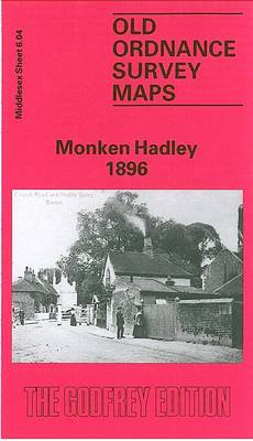
Monken Hadley in 1896 in a fascinating series of reproductions of old Ordnance Survey plans in the Alan Godfrey Editions, ideal for anyone interested in the history of their neighbourhood or family. The map shows the historic centre of Monken Hadley which developed at the crossing of the ancient roads at the south-western edge of
Blandford Forum 1901
Blandford Forum in 1901 in a fascinating series of reproductions of old Ordnance Survey plans in the Alan Godfrey Editions, ideal for anyone interested in the history of their neighbourhood or family. The map covers one of the finest Georgian towns in England. A disastrous fire in 1731 meant that the town had to be
Liverpool Princes Park 1905
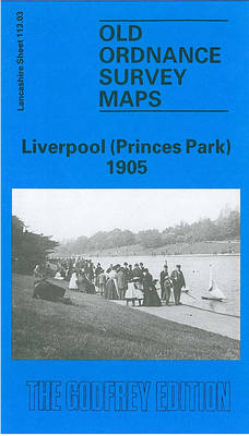
Liverpool Princes Park in 1905 in a fascinating series of reproductions of old Ordnance Survey plans in the Alan Godfrey Editions, ideal for anyone interested in the history of their neighbourhood or family. The map covers a busy area of south Liverpool, largely comprising the eastern half of Toxteth, Princes Park Ward and Sefton Park.
Manchester South-East 1915
Manchester South-East in 1915 in a fascinating series of reproductions of old Ordnance Survey plans in the Alan Godfrey Editions, ideal for anyone interested in the history of their neighbourhood or family. Two versions have been published for this area, extending from Brook Street eastward to Barmouth Street, and from Pollard Street southward to Clowes
Workington North 1923
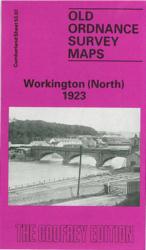
Workington North in 1923 in a fascinating series of reproductions of old Ordnance Survey plans in the Alan Godfrey Editions, ideal for anyone interested in the history of their neighbourhood or family. The map is double-sided; the main map covers the northern part of the town from St Michael`s church northward to Oldside Iron &
Bedford 1924 – 11.16b
Bedford in 1924 in a fascinating series of reproductions of old Ordnance Survey plans in the Alan Godfrey Editions, ideal for anyone interested in the history of their neighbourhood or family. Bedford is covered by a group of five maps. The map of Bedford covers the main part of the town with features such as
Workington South 1923
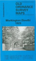
Workington South in 1923 in a fascinating series of reproductions of old Ordnance Survey plans in the Alan Godfrey Editions, ideal for anyone interested in the history of their neighbourhood or family. The map is double-sided; the main map covers the centre of Workington, extending southward to Mossbay Road and eastward to Schoose Quarry. Features
Hanger Hill 1895
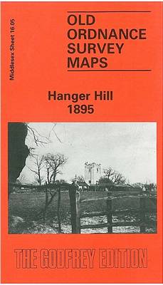
Hanger Hill in 1895 in a fascinating series of reproductions of old Ordnance Survey plans in the Alan Godfrey Editions, ideal for anyone interested in the history of their neighbourhood or family. Two versions for this area have been published to show how it developed across the years. The 1895 version is a somewhat empty,
Willenhall North East 1885
Willenhall North East in 1885 in a fascinating series of reproductions of old Ordnance Survey plans in the Alan Godfrey Editions, ideal for anyone interested in the history of their neighbourhood or family. The map covers the north-eastern area of Willenhall, extending from the cemetery and Wood Street eastward to Bentley Hall and northward to
Darlington West 1898
Darlington West in 1898 in a fascinating series of reproductions of old Ordnance Survey plans in the Alan Godfrey Editions, ideal for anyone interested in the history of their neighbourhood or family. The map is double-sided. The main map covers an area from Stanhope Green and Larchfield Street near the town centre westward to Mowden
Eltham Green 1894 – 120.2
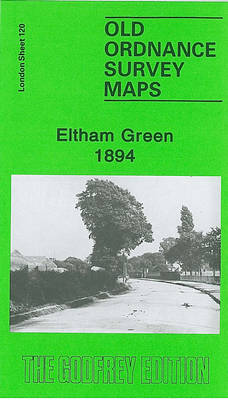
Eltham in 1894 in a fascinating series of reproductions of old Ordnance Survey plans in the Alan Godfrey Editions, ideal for anyone interested in the history of their neighbourhood or family. Two versions cover this area, stretching from Leyland Road at Lewisham eastward to Eltham Green and a little beyond, and northward to Kidbrooke station.
Brades Village 1902 68.13a
Brades Village in 1902 in a fascinating series of reproductions of old Ordnance Survey plans in the Alan Godfrey Editions, ideal for anyone interested in the history of their neighbourhood or family. The map covers the western part of Oldbury, Brades Village, Rounds Green and the rather bleak mining area to the west. Features include
Poole 1900
Poole in 1900 in a fascinating series of reproductions of old Ordnance Survey plans in the Alan Godfrey Editions, ideal for anyone interested in the history of their neighbourhood or family. Two versions have been published for this area. The maps capture the historic old centre, spread out around High Street, Market Street, Hunger Hill
Knottingley 1905
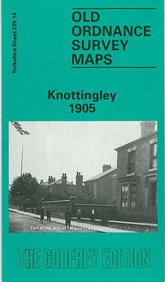
Knottingley in 1905 in a fascinating series of reproductions of old Ordnance Survey plans in the Alan Godfrey Editions, ideal for anyone interested in the history of their neighbourhood or family. The map is double-sided. The main map covers the centre and south of the town, with coverage from The Croft and St Botolph`s church
Camberwell & Stockwell 1913 – 102.3
Camberwell and Stockwell in 1913 in a fascinating series of reproductions of old Ordnance Survey plans in the Alan Godfrey Editions, ideal for anyone interested in the history of their neighbourhood or family. Three versions for this area have been published, stretching from South Lambeth Road and Stockwell station eastward to Camberwell Green and from
Keswick 1898
Keswick in 1898 in a fascinating series of reproductions of old Ordnance Survey plans in the Alan Godfrey Editions, ideal for anyone interested in the history of their neighbourhood or family. The map is double-sided. The main map covers the town centre, extending southward to Derwent Isle and westward to the western bank of Derwent
Hendon 1895
Hendon in 1895 in a fascinating series of reproductions of old Ordnance Survey plans in the Alan Godfrey Editions, ideal for anyone interested in the history of their neighbourhood or family. Two versions have been published to show how this area developed across the years, stretching from The Burroughs eastward to Finchley Road, and from