Category Archives: Maps
Annan 1898
Annan in 1898 in a fascinating series of reproductions of old Ordnance Survey plans in the Alan Godfrey Editions, ideal for anyone interested in the history of their neighbourhood or family. Coverage stretches from Howes eastward to Watchhill, and from Annan station northward to Gala Bank. Features include the town centre, High Street area, banks,
City of Salisbury with West Harnham & East Harnham 1900 – 66.15
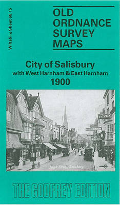
Salisbury City with West and East Harnham in 1900 in a fascinating series of reproductions of old Ordnance Survey plans in the Alan Godfrey Editions, ideal for anyone interested in the history of their neighbourhood or family. The map covers the southern part of Salisbury extending from Milford Street southward to East Harnham and Salisbury
Isle of Portland: Easton and Weston 1927

Isle of Portland: Easton and Weston in 1927 in a fascinating series of reproductions of old Ordnance Survey plans in the Alan Godfrey Editions, ideal for anyone interested in the history of their neighbourhood or family. The Isle of Portland is covered by four maps. The Castletown map covers the northern part of the island,
West India Docks 1867 – 79.1
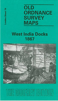
West India Docks in 1867 in a fascinating series of reproductions of old Ordnance Survey plans in the Alan Godfrey Editions, ideal for anyone interested in the history of their neighbourhood or family. Three versions of this map have been published to show how the area developed across the years. The sheetlines are a little
Huddersfield South 1905
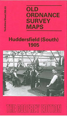
Huddersfield South in 1905 in a fascinating series of reproductions of old Ordnance Survey plans in the Alan Godfrey Editions, ideal for anyone interested in the history of their neighbourhood or family. The map covers much of south Huddersfield, including parts of Almondbury parish. Coverage stretches from Dungeon Wood eastward to Longley, and from Primrose
Beckenham 1861-71 – 7.15
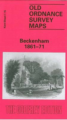
Beckenham in 1861-1871 in a fascinating series of reproductions of old Ordnance Survey plans in the Alan Godfrey Editions, ideal for anyone interested in the history of their neighbourhood or family. Three versions have been published to show how this developed across the years – the maps are from different series, for Kent and for
Isleworth 1894
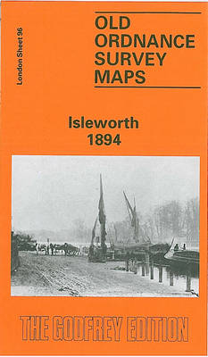
Isleworth in 1894 in a fascinating series of reproductions of old Ordnance Survey plans in the Alan Godfrey Editions, ideal for anyone interested in the history of their neighbourhood or family. Two versions for this area have been published, covering the village centre of Isleworth with Lower Square, South Street, Manor Mill, Gumley House convent,
Rowley Regis and Blackheath 1902
Rowley Regis and Blackheath in 1902 in a fascinating series of reproductions of old Ordnance Survey plans in the Alan Godfrey Editions, ideal for anyone interested in the history of their neighbourhood or family. The map covers the southern part of Rowley Regis together with Blackheath and coverage extends eastward to Cakemore Brick Works and
Manchester: Castlefield 1848
Castlefield area of Manchester in 1848 in a series of exceptionally detailed reproductions of old Ordnance Survey street plans for areas of larger cities which have undergone substantial redevelopment in the late 19th or the early 20th century, published in the Alan Godfrey Editions.The plans, printed in back and white, have been taken from the
Leyton 1914
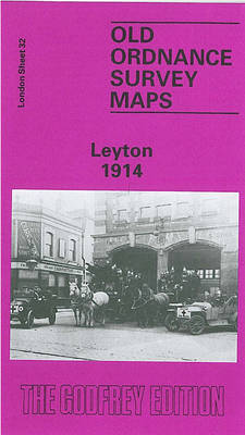
Leyton in 1914 in a fascinating series of reproductions of old Ordnance Survey plans in the Alan Godfrey Editions, ideal for anyone interested in the history of their neighbourhood or family. Three versions cover the same area, from Templemill Sidings eastward to Woodhouse Road and Newcomen Road, and from Carlisle Road and St Mary`s church
Isle of Portland: Fortuneswell and Grove 1927
Isle of Portland: Fortuneswell and Grove in 1927 in a fascinating series of reproductions of old Ordnance Survey plans in the Alan Godfrey Editions, ideal for anyone interested in the history of their neighbourhood or family. The Isle of Portland is covered by four maps. The Castletown map covers the northern part of the island,
Wanstead 1915 – 24.3
Wanstead in 1915 in a fascinating series of reproductions of old Ordnance Survey plans in the Alan Godfrey Editions, ideal for anyone interested in the history of their neighbourhood or family. Two versions for this area have been published, stretching from Mornington Road and Whipps Cross Road eastward to the River Roding and Wanstead Lane;
Cambridge 1925 – 47.02b
Cambridge in 1925 in a fascinating series of reproductions of old Ordnance Survey plans in the Alan Godfrey Editions, ideal for anyone interested in the history of their neighbourhood or family.Tthe map gives good coverage of this historic city, extending from Great Bridge and Merton Hall southward to Sheeps Green, Leys School and Russell Street;
Huddersfield Central 1905
Central Huddersfield in 1905 in a fascinating series of reproductions of old Ordnance Survey plans in the Alan Godfrey Editions, ideal for anyone interested in the history of their neighbourhood or family. Two versions have been published for this area. The maps cover central Huddersfield, stretching from Crosland Moor Bottom and Gledholt Junction eastward to
Clerkenwell, King`s Cross & The Angel 1871 – 50.1

Clerkenwell, King`s Cross and The Angel in 1871 in a fascinating series of reproductions of old Ordnance Survey plans in the Alan Godfrey Editions, ideal for anyone interested in the history of their neighbourhood or family. Three versions of this map have been published, stretching from Judd Street and King`s Cross station eastward to Shepherdess
Greenford 1894
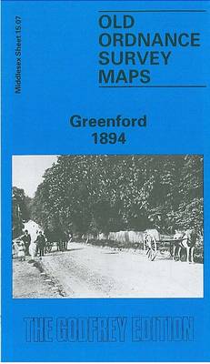
Greenford in 1894 in a fascinating series of reproductions of old Ordnance Survey plans in the Alan Godfrey Editions, ideal for anyone interested in the history of their neighbourhood or family. Two versions for this area have been published to show how it developed across the years. Coverage extends from Holy Cross church southward to
Monken Hadley 1896
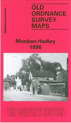
Monken Hadley in 1896 in a fascinating series of reproductions of old Ordnance Survey plans in the Alan Godfrey Editions, ideal for anyone interested in the history of their neighbourhood or family. The map shows the historic centre of Monken Hadley which developed at the crossing of the ancient roads at the south-western edge of
Blandford Forum 1901
Blandford Forum in 1901 in a fascinating series of reproductions of old Ordnance Survey plans in the Alan Godfrey Editions, ideal for anyone interested in the history of their neighbourhood or family. The map covers one of the finest Georgian towns in England. A disastrous fire in 1731 meant that the town had to be
Liverpool Princes Park 1905
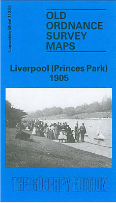
Liverpool Princes Park in 1905 in a fascinating series of reproductions of old Ordnance Survey plans in the Alan Godfrey Editions, ideal for anyone interested in the history of their neighbourhood or family. The map covers a busy area of south Liverpool, largely comprising the eastern half of Toxteth, Princes Park Ward and Sefton Park.
Manchester South-East 1915
Manchester South-East in 1915 in a fascinating series of reproductions of old Ordnance Survey plans in the Alan Godfrey Editions, ideal for anyone interested in the history of their neighbourhood or family. Two versions have been published for this area, extending from Brook Street eastward to Barmouth Street, and from Pollard Street southward to Clowes