Category Archives: Maps
Putney 1913 – 113.3
Putney in 1913 in a fascinating series of reproductions of old Ordnance Survey plans in the Alan Godfrey Editions, ideal for anyone interested in the history of their neighbourhood or family. Two versions for this area have been published, stretching from Larpent Avenue and Colinette Road eastward to Budlow Road and Broomhill Road in Wandsworth,
Clapham Common 1894 – 115.2
Clapham Common in 1894 in a fascinating series of reproductions of old Ordnance Survey plans in the Alan Godfrey Editions, ideal for anyone interested in the history of their neighbourhood or family. Three versions have been published for this area, stretching from Grandison Road and Wroughton Road eastward to Bedford Road and Lyham Road, and
Chelsea 1865 – 87.1
Chelsea in 1865 in a fascinating series of reproductions of old Ordnance Survey plans in the Alan Godfrey Editions, ideal for anyone interested in the history of their neighbourhood or family. Three versions have been published for this area, stretching from Stamford Bridge football ground eastward to Sloane Avenue and Royal Avenue, and from Harrington
Swindon South-East 1899

Swindon South-East in 1899 in a fascinating series of reproductions of old Ordnance Survey plans in the Alan Godfrey Editions, ideal for anyone interested in the history of their neighbourhood or family. Swindon, famed for the development of the railways in the 19th century, is covered by four maps with extracts from directories on the
Dalston 1894 – 40.2
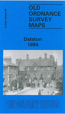
Dalston in 1894 in a fascinating series of reproductions of old Ordnance Survey plans in the Alan Godfrey Editions, ideal for anyone interested in the history of their neighbourhood or family. Three versions of this map cover the same area, stretching from Essex Road eastward to London Fields, and from Shacklewell Lane southward to De
Allerton 1905
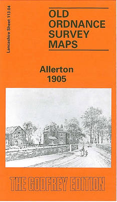
Allerton in 1905 in a fascinating series of reproductions of old Ordnance Survey plans in the Alan Godfrey Editions, ideal for anyone interested in the history of their neighbourhood or family. The map covers the Allerton Road area on the south-eastern side of Liverpool, plus the southern part of Wavertree. Coverage stretches from Greenbank Road
Bridgnorth 1901
Bridgnorth in 1901 in a fascinating series of reproductions of old Ordnance Survey plans in the Alan Godfrey Editions, ideal for anyone interested in the history of their neighbourhood or family. The map is double-sided, the main map covers the southern half of the town, stretching from St Mary`s Street southward to Oldbury and Danesford.
Swindon South-West 1899
Swindon South-West in 1899 in a fascinating series of reproductions of old Ordnance Survey plans in the Alan Godfrey Editions, ideal for anyone interested in the history of their neighbourhood or family. Swindon, famed for the development of the railways in the 19th century, is covered by four maps with extracts from directories on the
Palmers Green 1912 – 7.14a
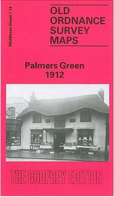
Palmers Green in 1912 in a fascinating series of reproductions of old Ordnance Survey plans in the Alan Godfrey Editions, ideal for anyone interested in the history of their neighbourhood or family. The map shows Palmers Green developing rapidly either side of the GNR Enfield Branch and Green Lanes which run north-south through the centre
Euston & Regent`s Park 1913 – 49.3
Euston and Regent`s Park in 1913 in a fascinating series of reproductions of old Ordnance Survey plans in the Alan Godfrey Editions, ideal for anyone interested in the history of their neighbourhood or family. Three versions of this map cover the same area stretching from Baker Street station eastward to Tavistock Square and from The
Isle of Portland: Southwell 1927
Isle of Portland: Southwell in 1927 in a fascinating series of reproductions of old Ordnance Survey plans in the Alan Godfrey Editions, ideal for anyone interested in the history of their neighbourhood or family. The Isle of Portland is covered by four maps. The Castletown map covers the northern part of the island, and features
Swindon (NW) 1899 – 15.03a
Swindon North-West in 1899 in a fascinating series of reproductions of old Ordnance Survey plans in the Alan Godfrey Editions, ideal for anyone interested in the history of their neighbourhood or family. Swindon, famed for the development of the railways in the 19th century, is covered by four maps with extracts from directories on the
Swindon (NE) 1899 – 15.04a
Swindon North-East in 1899 in a fascinating series of reproductions of old Ordnance Survey plans in the Alan Godfrey Editions, ideal for anyone interested in the history of their neighbourhood or family. Swindon, famed for the development of the railways in the 19th century, is covered by four maps with extracts from directories on the
Mossley Hill 1905
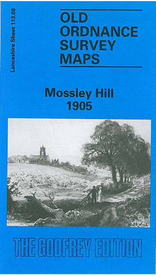
Mossley Hill in 1905 in a fascinating series of reproductions of old Ordnance Survey plans in the Alan Godfrey Editions, ideal for anyone interested in the history of their neighbourhood or family. The map covers much of the Mossley Hill area south-eastern Liverpool, including portions of Aigburth, Garston and Allerton. Coverage stretches from St Anne`s
Wandsworth Common 1893 – 124b
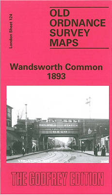
Wandsworth Common in 1893 in a fascinating series of reproductions of old Ordnance Survey plans in the Alan Godfrey Editions, ideal for anyone interested in the history of their neighbourhood or family. Two versions have been published for this area, extending from Wandsworth Prison southward to Garratt Green, and from Earlsfield eastward to St James`s
Waterloo & Southwark 1914 – 76.3
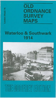
Waterloo and Southwark in 1914 in a fascinating series of reproductions of old Ordnance Survey plans in the Alan Godfrey Editions, ideal for anyone interested in the history of their neighbourhood or family. Three versions cover this area which includes much of Lambeth and Southwark, and the area now known as the South Bank. Coverage
Isle of Portland: Easton and Weston 1927
Isle of Portland: Easton and Weston in 1927 in a fascinating series of reproductions of old Ordnance Survey plans in the Alan Godfrey Editions, ideal for anyone interested in the history of their neighbourhood or family. The Isle of Portland is covered by four maps. The Castletown map covers the northern part of the island,
West India Docks 1867 – 79.1
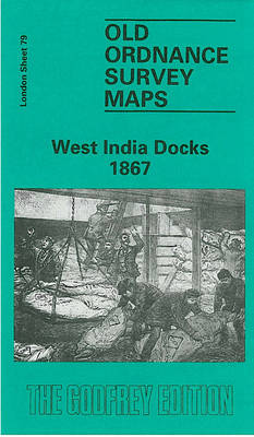
West India Docks in 1867 in a fascinating series of reproductions of old Ordnance Survey plans in the Alan Godfrey Editions, ideal for anyone interested in the history of their neighbourhood or family. Three versions of this map have been published to show how the area developed across the years. The sheetlines are a little
Huddersfield South 1905
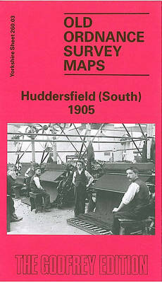
Huddersfield South in 1905 in a fascinating series of reproductions of old Ordnance Survey plans in the Alan Godfrey Editions, ideal for anyone interested in the history of their neighbourhood or family. The map covers much of south Huddersfield, including parts of Almondbury parish. Coverage stretches from Dungeon Wood eastward to Longley, and from Primrose
Beckenham 1861-71 – 7.15
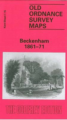
Beckenham in 1861-1871 in a fascinating series of reproductions of old Ordnance Survey plans in the Alan Godfrey Editions, ideal for anyone interested in the history of their neighbourhood or family. Three versions have been published to show how this developed across the years – the maps are from different series, for Kent and for