Category Archives: Maps
Central Croydon 1895 – 14.10
Central Croydon in 1895 in a fascinating series of reproductions of old Ordnance Survey plans in the Alan Godfrey Editions, ideal for anyone interested in the history of their neighbourhood or family. This is the main map for Croydon and covers the centre of the town, stretching from Wandle Park eastward to Radcliffe Road, and
Darlington North 1896
Darlington North in 1896 in a fascinating series of reproductions of old Ordnance Survey plans in the Alan Godfrey Editions, ideal for anyone interested in the history of their neighbourhood or family. The map is double-sided. The main map covers the north of the town, from the locomotive works and engine sheds northward to Harrowgate
Bishop Auckland 1896 – 42.02a

Bishop Auckland in 1896 in a fascinating series of reproductions of old Ordnance Survey plans in the Alan Godfrey Editions, ideal for anyone interested in the history of their neighbourhood or family. The map is double-sided to give maximum coverage of Bishop Auckland, the historic home of the Bishop of Durham. The main map covers
Stockton on Tees & Thornaby 1897 – 50.16a
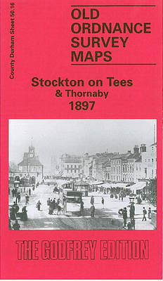
Stockton on Tees and Thornaby in 1897 in a fascinating series of reproductions of old Ordnance Survey plans in the Alan Godfrey Editions, ideal for anyone interested in the history of their neighbourhood or family. The map covers much of Stockton plus a portion of its neighbour across the Tees, Thornaby. Coverage stretches from Hartburn
Woolwich 1914
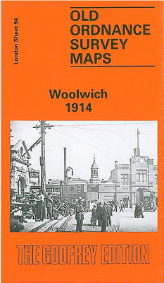
Woolwich in 1914 in a fascinating series of reproductions of old Ordnance Survey plans in the Alan Godfrey Editions, ideal for anyone interested in the history of their neighbourhood or family. Three versions for this area have been published, stretching from Maryon Road and Wood Street eastward to Earl Street and Waverley Road, and from
Weymouth Westham 1901
Weymouth Westham in 1901 in a fascinating series of reproductions of old Ordnance Survey plans in the Alan Godfrey Editions, ideal for anyone interested in the history of their neighbourhood or family. Weymouth is covered by a block of three maps. On the main Weymouth map is the town centre, with coverage stretching from Westerhall
Walsall (SE) 1901 – 63.11
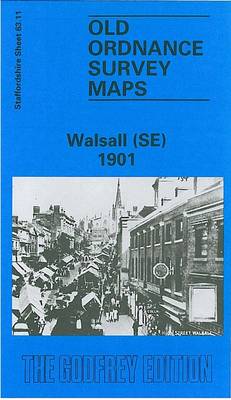
Walsall South East in 1901 in a fascinating series of reproductions of old Ordnance Survey plans in the Alan Godfrey Editions, ideal for anyone interested in the history of their neighbourhood or family. The map covers the south-eastern area of Walsall, including part of the town centre and the Paddock Ward area. Coverage extends from
Quinton 1902
Quinton in 1902 in a fascinating series of reproductions of old Ordnance Survey plans in the Alan Godfrey Editions, ideal for anyone interested in the history of their neighbourhood or family. The map covers an area west of Birmingham that includes Quinton and is crossed by Harborne Lane and Beech Lane. Coverage stretches from Bourne
Wolverhampton (SE) 1901 – 62.11b
Wolverhampton South East in 1901 in a fascinating series of reproductions of old Ordnance Survey plans in the Alan Godfrey Editions, ideal for anyone interested in the history of their neighbourhood or family. The map covers the south-eastern part of Wolverhampton, including Monmore Green and much of St George`s and St Matthew`s Wards. Coverage extends
Knotty Ash and Old Swan 1906
Knotty Ash and Old Swan in 1906 in a fascinating series of reproductions of old Ordnance Survey plans in the Alan Godfrey Editions, ideal for anyone interested in the history of their neighbourhood or family. The map covers the area of east Liverpool around Old Swan and Knotty Ash. Coverage stretches from Church Road Stanley
Wyke Regis 1901
Wyke Regis in 1901 in a fascinating series of reproductions of old Ordnance Survey plans in the Alan Godfrey Editions, ideal for anyone interested in the history of their neighbourhood or family. Weymouth is covered by a block of three maps. On the main Weymouth map is the town centre, with coverage stretching from Westerhall
St John`s Wood 1868
St John`s Wood in 1868 in a fascinating series of reproductions of old Ordnance Survey plans in the Alan Godfrey Editions, ideal for anyone interested in the history of their neighbourhood or family. Four versions of this map have been published, each covers the same area: Kilburn Park Road and Essendine Road eastward to Regents
Bethnal Green & Bow 1914 – 52.3
Bethnal Green and Bow in 1914 in a fascinating series of reproductions of old Ordnance Survey plans in the Alan Godfrey Editions, ideal for anyone interested in the history of their neighbourhood or family. Three versions of this map have been published, stretching from Cambridge Road eastward to Fairfield Road, and from Morpeth Road southward
Stoke Newington 1894 – 30.2
Stoke Newington in 1894 in a fascinating series of reproductions of old Ordnance Survey plans in the Alan Godfrey Editions, ideal for anyone interested in the history of their neighbourhood or family. Three versions cover the same area, stretching from Petherton Road and Clissold Park eastward to Upper Clapton Road and Cricketfield Road, and from
Stoke upon Trent (South) 1898 – 18.05
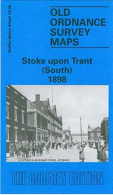
Stoke-upon- Trent South in 1898 in a fascinating series of reproductions of old Ordnance Survey plans in the Alan Godfrey Editions, ideal for anyone interested in the history of their neighbourhood or family. The map covers the southern part of Stoke upon Trent, stretching from St Peter`s church southward to Oak Hill and from Queen`s
Wood Green 1912 – 7.3
Wood Green in 1912 in a fascinating series of reproductions of old Ordnance Survey plans in the Alan Godfrey Editions, ideal for anyone interested in the history of their neighbourhood or family. Three versions have been published for this area, stretching from Dagmar Road eastward to Hatherley Road and Boundary Road, and from Spencer Avenue
Old Portsmouth & Gosport 1896 – 83.11a
Old Portsmouth and Gosport in 1896 in a fascinating series of reproductions of old Ordnance Survey plans in the Alan Godfrey Editions, ideal for anyone interested in the history of their neighbourhood or family. Portsmouth is covered by a block of six maps. This map covers part of Old Portsmouth and parts of Gosport on
Walsall (NE) 1913 – 63.07
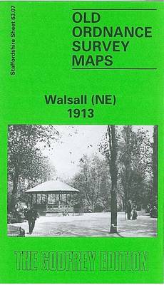
Walsall North East in 1913 in a fascinating series of reproductions of old Ordnance Survey plans in the Alan Godfrey Editions, ideal for anyone interested in the history of their neighbourhood or family. The map covers the north-eastern area of Walsall, extending from Duncalfe Street eastward to Calder Fields Farm and from Walhouse Street northward
Putney 1913 – 113.3
Putney in 1913 in a fascinating series of reproductions of old Ordnance Survey plans in the Alan Godfrey Editions, ideal for anyone interested in the history of their neighbourhood or family. Two versions for this area have been published, stretching from Larpent Avenue and Colinette Road eastward to Budlow Road and Broomhill Road in Wandsworth,
Clapham Common 1894 – 115.2
Clapham Common in 1894 in a fascinating series of reproductions of old Ordnance Survey plans in the Alan Godfrey Editions, ideal for anyone interested in the history of their neighbourhood or family. Three versions have been published for this area, stretching from Grandison Road and Wroughton Road eastward to Bedford Road and Lyham Road, and