Category Archives: Maps
Kennington & Walworth 1871 – 89.1
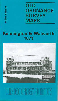
Kennington and Walworth in 1871 in a fascinating series of reproductions of old Ordnance Survey plans in the Alan Godfrey Editions, ideal for anyone interested in the history of their neighbourhood or family. Three versions for this area have been published to show how it developed across the years, stretching from the east side of
Wood Green 1894 – 7.2
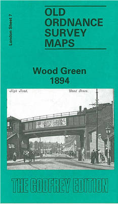
Wood Green in 1894 in a fascinating series of reproductions of old Ordnance Survey plans in the Alan Godfrey Editions, ideal for anyone interested in the history of their neighbourhood or family. Three versions have been published for this area, stretching from Dagmar Road eastward to Hatherley Road and Boundary Road, and from Spencer Avenue
Salford Adelphi 1848
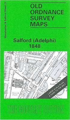
Salford Adelphi area of Manchester in 1848 in a series of exceptionally detailed reproductions of old Ordnance Survey street plans for areas of larger cities which have undergone substantial redevelopment in the late 19th or the early 20th century, published in the Alan Godfrey Editions.The plans, printed in back and white, have been taken from
Kirkintilloch 1896
Kirkintilloch in 1896 in a fascinating series of reproductions of old Ordnance Survey plans in the Alan Godfrey Editions, ideal for anyone interested in the history of their neighbourhood or family. The map of Kirkintilloch, a small town just north-east of Glasgow, is double-sided. The main map covers the area from Cowgate northward to Kelvin
Bank & the City 1873 – 7.66

Bank and the City area of London in 1873 in a series of exceptionally detailed reproductions of old Ordnance Survey street plans for areas of larger cities which have undergone substantial redevelopment in the late 19th or the early 20th century, published in the Alan Godfrey Editions.The plans, printed in back and white, have been
Fallowfield 1904

Fallowfield in 1904 in a fascinating series of reproductions of old Ordnance Survey plans in the Alan Godfrey Editions, ideal for anyone interested in the history of their neighbourhood or family. The map covers the area of Manchester around Fallowfield, including the southern part of Rusholme. Coverage stretches from Brook Road northward to Dickenson Road.
Finsbury Square & Circus 1873 – 7.56
Finsbury Square and Circus area of London in 1873 in a series of exceptionally detailed reproductions of old Ordnance Survey street plans for areas of larger cities which have undergone substantial redevelopment in the late 19th or the early 20th century, published in the Alan Godfrey Editions.The plans, printed in back and white, have been
Shildon 1896
Shildon in 1896 in a fascinating series of reproductions of old Ordnance Survey plans in the Alan Godfrey Editions, ideal for anyone interested in the history of their neighbourhood or family. Shildon is famous as a railway town; the Stockton & Darlington Railway opened their locomotive works from 1825, and today a major branch of
Stockton (North) 1899 – 50.12a
North Stockton in 1899 in a fascinating series of reproductions of old Ordnance Survey plans in the Alan Godfrey Editions, ideal for anyone interested in the history of their neighbourhood or family. Coverage stretches from the cemetery eastward to St Ann`s Hill, and from Mount Pleasant southward to Mill Street. Features include Stockton station, Newham
Bloxwich 1902
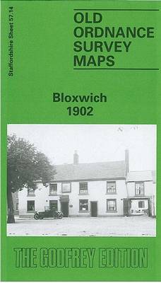
Bloxwich in 1902 in a fascinating series of reproductions of old Ordnance Survey plans in the Alan Godfrey Editions, ideal for anyone interested in the history of their neighbourhood or family. The map covers much of Bloxwich, north of Walsall, and also includes Little Bloxwich and Wallington Heath. Features include Elmore Green (at foot of
Lenzie 1897
Lenzie in 1897 in a fascinating series of reproductions of old Ordnance Survey plans in the Alan Godfrey Editions, ideal for anyone interested in the history of their neighbourhood or family. The map covers the village of Lenzie, south of Kirkintilloch. Coverage stretches from Garngaber (in the top right corner) southward to Auchinloch and westward
St Rollox 1894 – 6.07a
Glasgow St Rollox in 1894 in a fascinating series of reproductions of old Ordnance Survey plans in the Alan Godfrey Editions, ideal for anyone interested in the history of their neighbourhood or family. Two versions have been published for this area. Coverage stretches from Bishop Street eastward to Hobden Street, and from Gourlay Street southward
Clerkenwell, King`s Cross & The Angel 1894 – 50.2
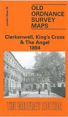
Clerkenwell, King`s Cross and The Angel in 1894 in a fascinating series of reproductions of old Ordnance Survey plans in the Alan Godfrey Editions, ideal for anyone interested in the history of their neighbourhood or family. Three versions of this map have been published, stretching from Judd Street and King`s Cross station eastward to Shepherdess
South Croydon 1895 – 14.14
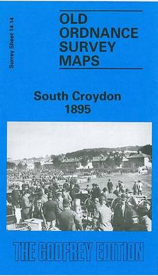
South Croydon in 1895 in a fascinating series of reproductions of old Ordnance Survey plans in the Alan Godfrey Editions, ideal for anyone interested in the history of their neighbourhood or family. The map covers the southern end of Croydon, from St Peter`s church and South Croydon station southward to Bynes Road. The Brighton Road
Wolverhampton North West 1901
Wolverhampton North West in 1901 in a fascinating series of reproductions of old Ordnance Survey plans in the Alan Godfrey Editions, ideal for anyone interested in the history of their neighbourhood or family. The map covers the north-western part of Wolverhampton, including part of the town centre and the Park Dale, Whitmore Reans and Newbridge
Southsea 1896 – 83.12a
Southsea in 1896 in a fascinating series of reproductions of old Ordnance Survey plans in the Alan Godfrey Editions, ideal for anyone interested in the history of their neighbourhood or family. Portsmouth is covered by a block of six maps. This map is double-sided for maximum coverage. The main map covers most of Southsea with
Southfields 1913 – 123.3
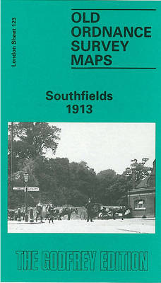
Southfields in 1913 in a fascinating series of reproductions of old Ordnance Survey plans in the Alan Godfrey Editions, ideal for anyone interested in the history of their neighbourhood or family. Two versions cover this area, extending from Putney Heath eastward to Merton Road, and from Wincanton Road and Brathway Road southward to Ryfold Road
Weymouth 1901
Weymouth in 1901 in a fascinating series of reproductions of old Ordnance Survey plans in the Alan Godfrey Editions, ideal for anyone interested in the history of their neighbourhood or family. Weymouth is covered by a block of three maps. On this main Weymouth map is the town centre, with coverage stretching from Westerhall Road
Central Croydon 1895 – 14.10
Central Croydon in 1895 in a fascinating series of reproductions of old Ordnance Survey plans in the Alan Godfrey Editions, ideal for anyone interested in the history of their neighbourhood or family. This is the main map for Croydon and covers the centre of the town, stretching from Wandle Park eastward to Radcliffe Road, and